Pikie's Cove
Sea, Estuary, Creek in Berwickshire
Scotland
Pikie's Cove
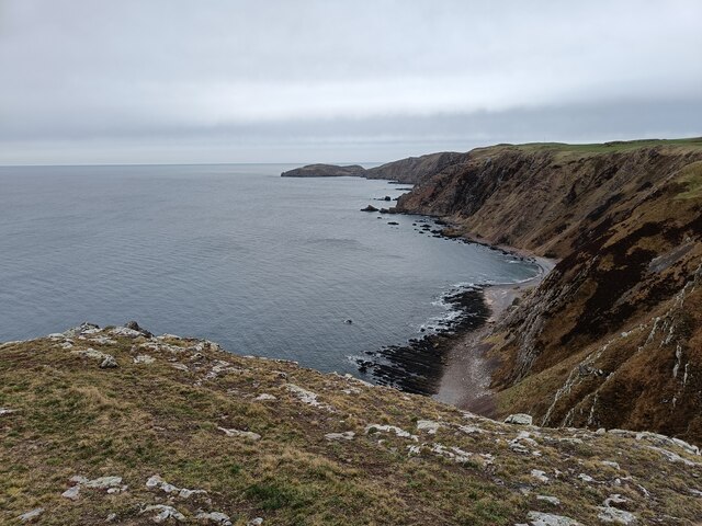
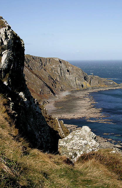
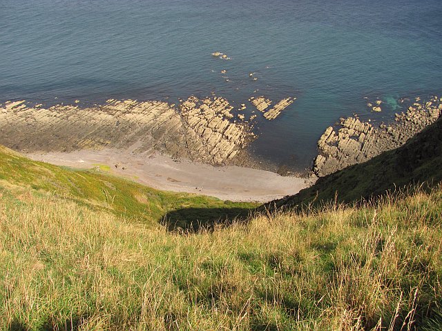
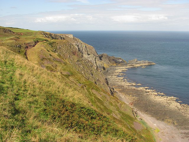
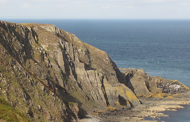
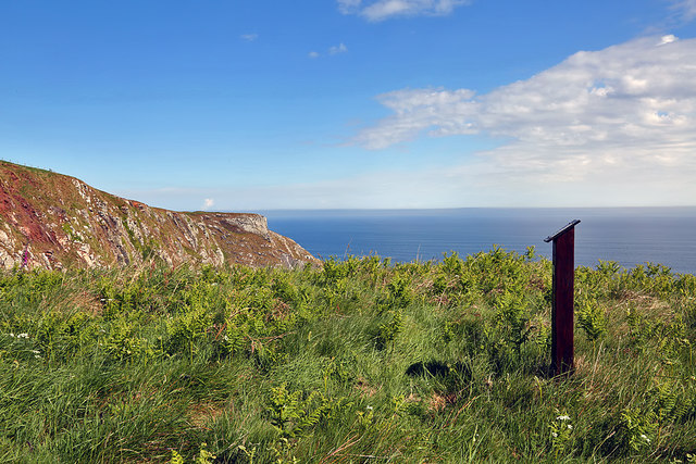
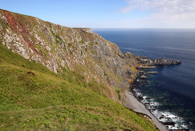
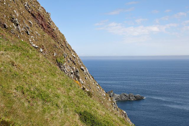
Pikie's Cove is a picturesque coastal area located in the region of Berwickshire, Scotland. Nestled between towering cliffs and rolling hills, the cove offers a stunning blend of natural beauty and tranquility. It is situated at the mouth of a small creek that connects to the North Sea, creating a unique estuary environment.
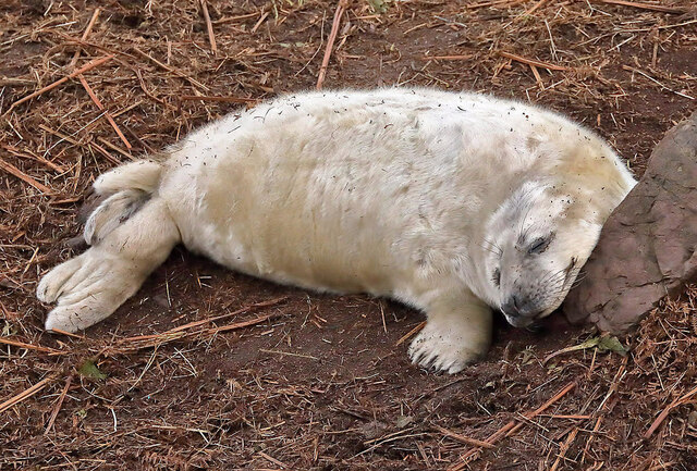
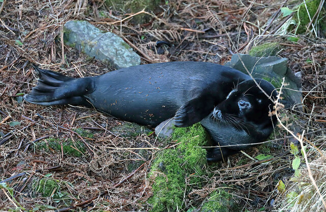
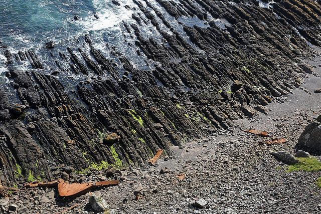
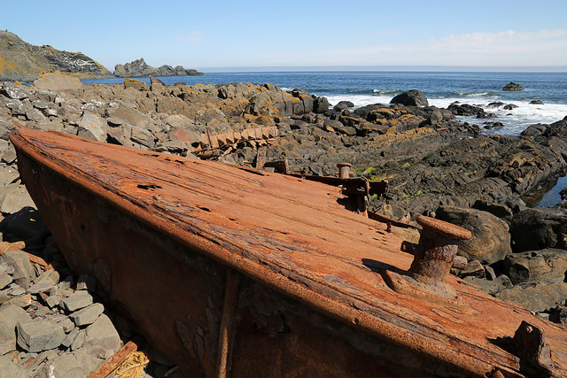
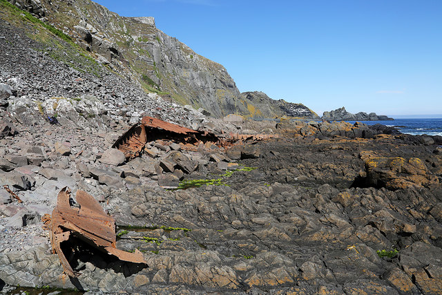
The cove's shoreline is characterized by its ruggedness, with jagged rocks and pebble beaches lining the edge. During low tide, expansive sandbanks emerge, providing an ideal habitat for various marine species. The crystal-clear waters of the sea and estuary attract a diverse array of wildlife, including seabirds, seals, and occasionally dolphins.
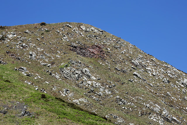
The surrounding landscape of Pikie's Cove is a mix of grassy meadows and heather-covered hills, offering breathtaking panoramic views. Visitors can enjoy peaceful walks along the coastal path, immersing themselves in the unspoiled beauty of nature. The area is also popular among anglers, who are drawn to the creek for its abundant fish population.
Despite its remote location, Pikie's Cove is not entirely isolated. Nearby, there is a small fishing village that provides basic amenities for visitors, such as accommodations and local seafood restaurants. This allows visitors to experience the tranquility of the cove while still being able to access necessary facilities.
Pikie's Cove is truly a hidden gem of Berwickshire, offering a serene and idyllic coastal retreat for nature lovers and those seeking a peaceful escape from the hustle and bustle of everyday life.
If you have any feedback on the listing, please let us know in the comments section below.
Pikie's Cove Images
Images are sourced within 2km of 55.918371/-2.1774922 or Grid Reference NT8969. Thanks to Geograph Open Source API. All images are credited.


Pikie's Cove is located at Grid Ref: NT8969 (Lat: 55.918371, Lng: -2.1774922)
Unitary Authority: The Scottish Borders
Police Authority: The Lothians and Scottish Borders
What 3 Words
///flirts.cake.hospitals. Near Eyemouth, Scottish Borders
Nearby Locations
Related Wikis

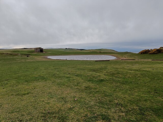
Coldingham Loch
Coldingham Loch is a freshwater loch in the parish of Coldingham, in the Scottish Borders area of Scotland, in the former Berwickshire, between Coldingham...

Mire Loch
Mire Loch is a man made freshwater loch situated on St Abb's Head in the Scottish Borders, just over a kilometre NW of the village of St. Abbs at grid...

St Abb's Head Lighthouse
St Abb's Head Lighthouse stands on the cliffs at the rocky promontory of St Abb's Head, near the village of St Abbs in Berwickshire. A signal station was...

St Abb's Head
St Abb's Head is a rocky promontory by the village of St Abbs in Scottish Borders, Scotland, and a national nature reserve administered by the National...
Nearby Amenities
Located within 500m of 55.918371,-2.1774922Have you been to Pikie's Cove?
Leave your review of Pikie's Cove below (or comments, questions and feedback).