Whitestone Heugh
Cliff, Slope in Berwickshire
Scotland
Whitestone Heugh
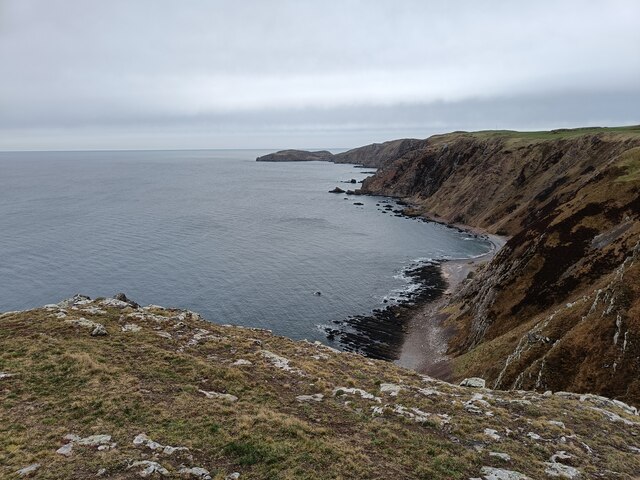
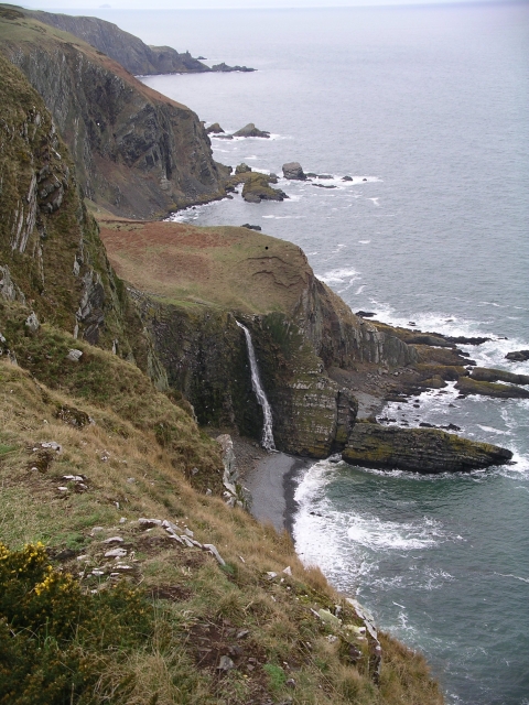
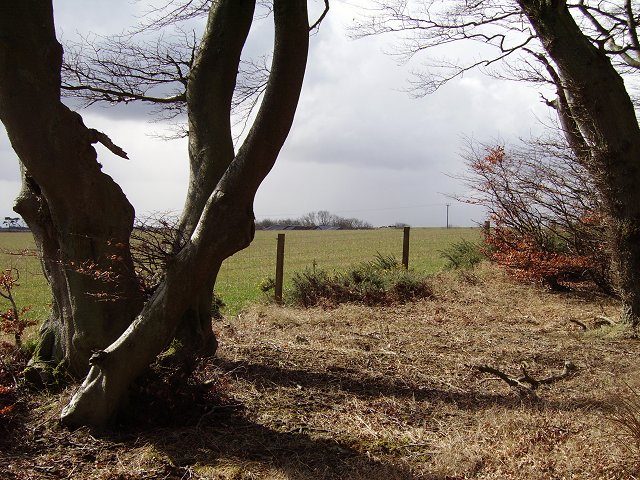
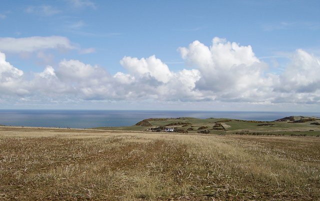
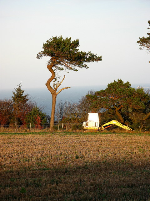
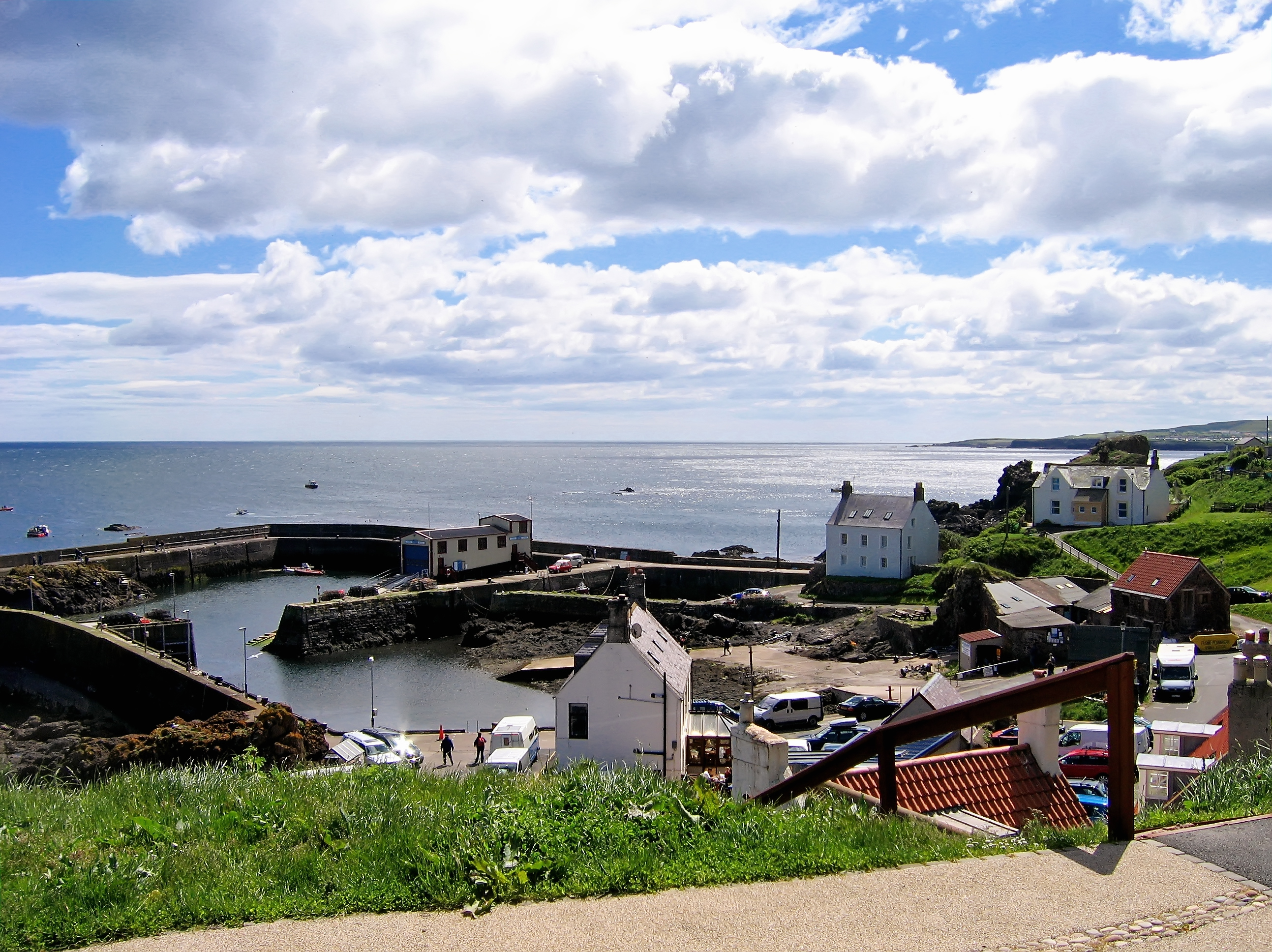
Whitestone Heugh is a prominent cliff and slope located in the county of Berwickshire, Scotland. Situated near the village of St Abbs, it overlooks the North Sea and offers breathtaking views of the surrounding coastal landscape.
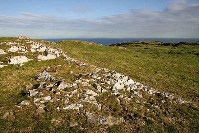
Rising approximately 80 meters above sea level, Whitestone Heugh is composed of layers of sedimentary rock, primarily sandstone and shale. The cliff face showcases distinctive horizontal bands of different colored rock, reflecting the diverse geological history of the area.
The slope of Whitestone Heugh is covered in lush vegetation, including grasses, heather, and wildflowers, providing a haven for various bird species and other wildlife. The area is particularly renowned for its seabird colonies, with thousands of birds nesting along the cliff edges. Visitors may catch a glimpse of puffins, guillemots, razorbills, and kittiwakes during the breeding season.
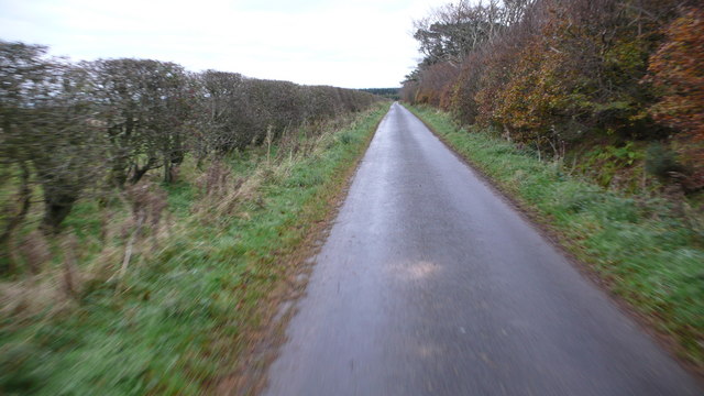
The site is a popular destination for outdoor enthusiasts, offering numerous walking trails and paths that meander along the cliff tops. These routes provide opportunities for nature observation, photography, and peaceful contemplation of the stunning coastal scenery. Adventurous individuals may also engage in rock climbing, using the rugged cliffs as challenging routes.
Whitestone Heugh is not only a natural wonder but also holds historical significance. In the past, the cliff served as a lookout point for smugglers, who took advantage of its strategic position to evade authorities. Today, remnants of their activities, such as hidden caves and tunnels, can still be spotted along the cliff face.
Overall, Whitestone Heugh is a captivating location that combines natural beauty, geological interest, and rich history, making it an enticing destination for nature lovers and history enthusiasts alike.
If you have any feedback on the listing, please let us know in the comments section below.
Whitestone Heugh Images
Images are sourced within 2km of 55.915292/-2.1689669 or Grid Reference NT8969. Thanks to Geograph Open Source API. All images are credited.


Whitestone Heugh is located at Grid Ref: NT8969 (Lat: 55.915292, Lng: -2.1689669)
Unitary Authority: The Scottish Borders
Police Authority: The Lothians and Scottish Borders
What 3 Words
///fuels.steam.leap. Near Eyemouth, Scottish Borders
Nearby Locations
Related Wikis

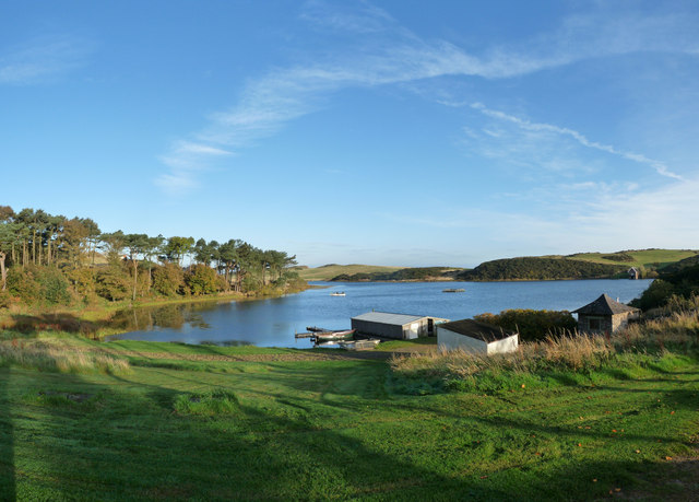
Coldingham Loch
Coldingham Loch is a freshwater loch in the parish of Coldingham, in the Scottish Borders area of Scotland, in the former Berwickshire, between Coldingham...
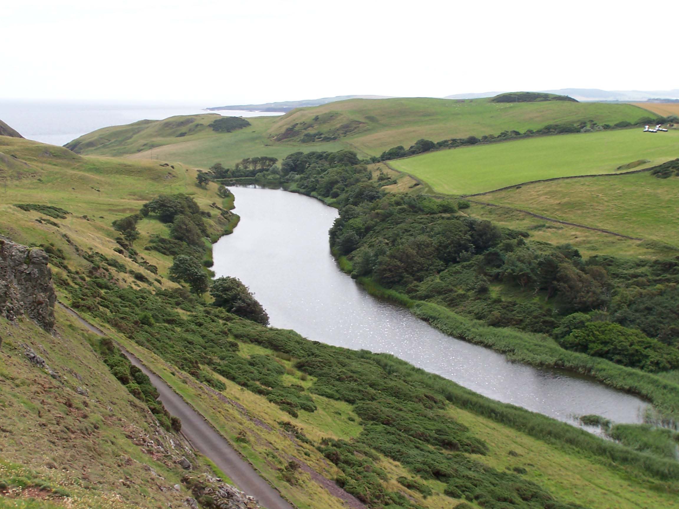
Mire Loch
Mire Loch is a man made freshwater loch situated on St Abb's Head in the Scottish Borders, just over a kilometre NW of the village of St. Abbs at grid...

St Abb's Head Lighthouse
St Abb's Head Lighthouse stands on the cliffs at the rocky promontory of St Abb's Head, near the village of St Abbs in Berwickshire. A signal station was...

St Abb's Head
St Abb's Head is a rocky promontory by the village of St Abbs in Scottish Borders, Scotland, and a national nature reserve administered by the National...

St. Abbs and Eyemouth Voluntary Marine Reserve
St. Abbs and Eyemouth Voluntary Marine Reserve is a Voluntary Marine Reserve—the first established in the United Kingdom. Located in the Scottish Borders...
St Abbs
St Abbs is a small fishing village on the southeastern coast of Scotland, within the Coldingham parish of Scottish Borders. The village was originally...

St Abbs Lifeboat Station
St Abbs Lifeboat is an independent marine-rescue facility in St Abbs, Berwickshire, Scotland. == Independent lifeboat == St Abbs Lifeboat is run as an...
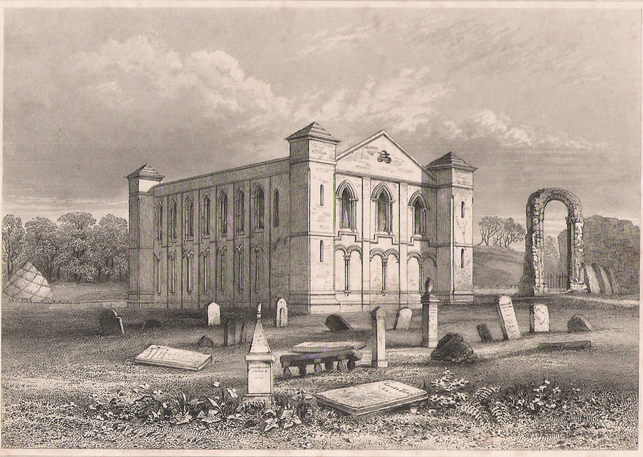
Coldingham Priory
Coldingham Priory was a house of Benedictine monks. It lies on the south-east coast of Scotland, in the village of Coldingham, Berwickshire. Coldingham...
Nearby Amenities
Located within 500m of 55.915292,-2.1689669Have you been to Whitestone Heugh?
Leave your review of Whitestone Heugh below (or comments, questions and feedback).