Llangeitho
Settlement in Cardiganshire
Wales
Llangeitho
The requested URL returned error: 429 Too Many Requests
If you have any feedback on the listing, please let us know in the comments section below.
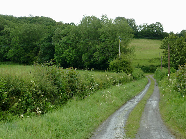
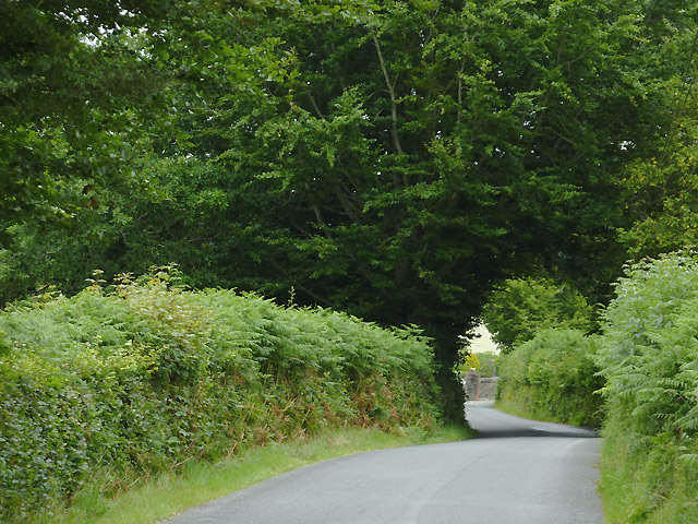
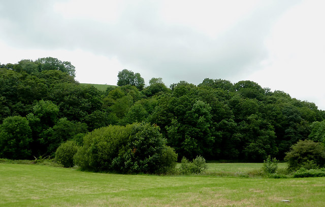
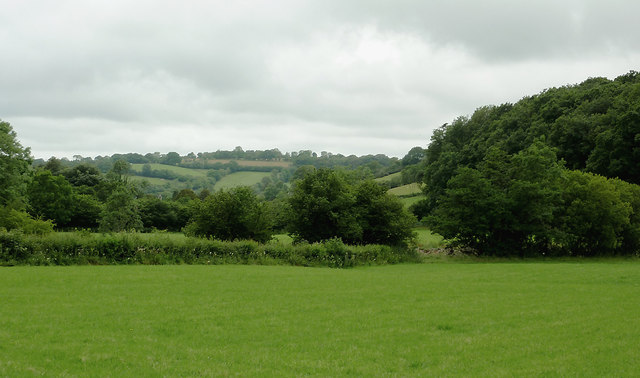
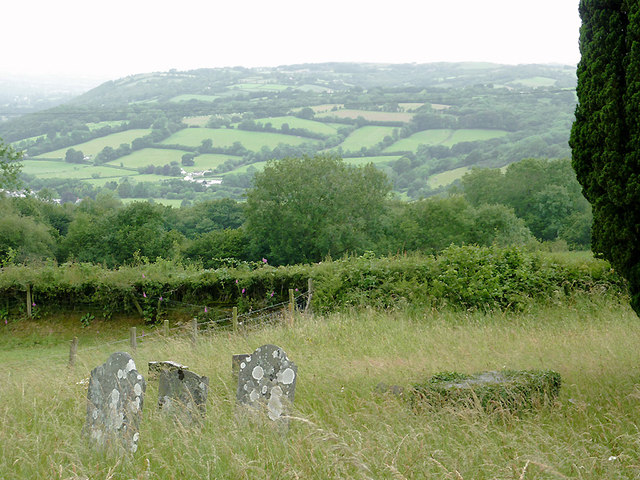
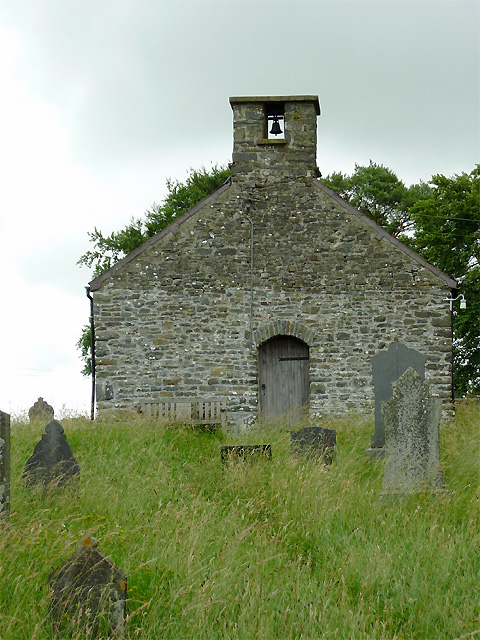
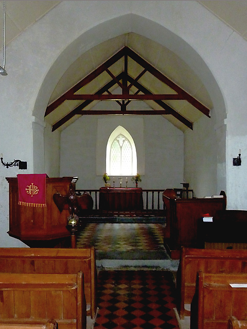
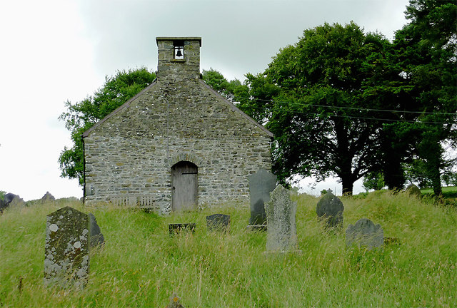
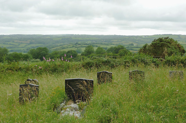
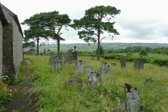
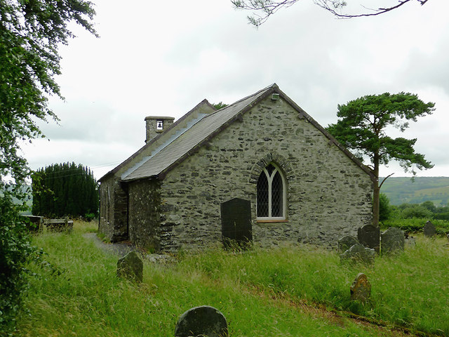
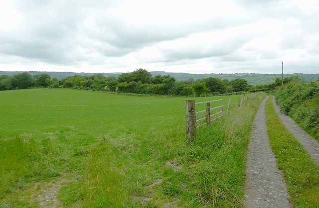
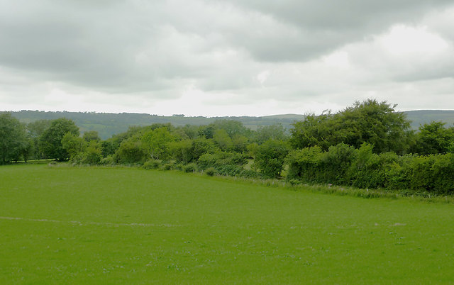
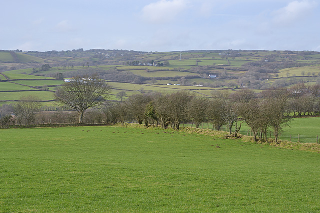
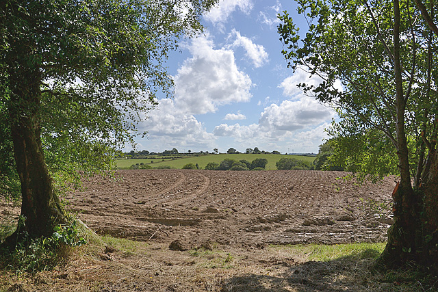
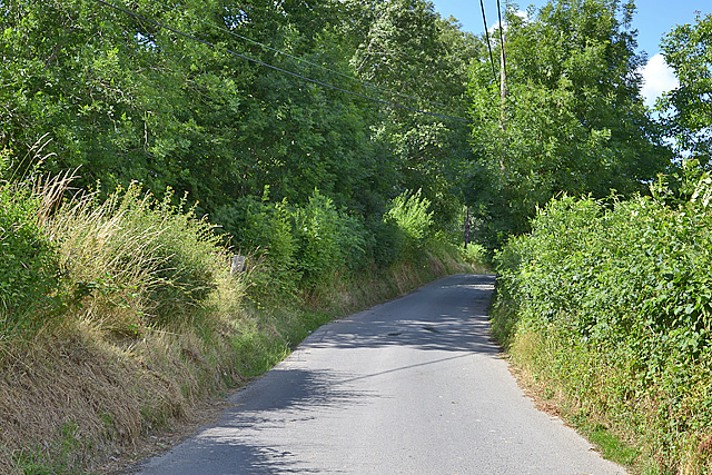
Llangeitho Images
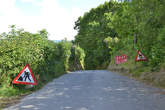
Images are sourced within 2km of 52.218513/-4.023145 or Grid Reference SN6159. Thanks to Geograph Open Source API. All images are credited.

Llangeitho is located at Grid Ref: SN6159 (Lat: 52.218513, Lng: -4.023145)
Unitary Authority: Ceredigion
Police Authority: Dyfed Powys
What 3 Words
///rides.drags.affords. Near Tregaron, Ceredigion
Nearby Locations
Related Wikis

Llangeitho
Llangeitho is a village and community on the upper River Aeron in Ceredigion, Wales, about four miles (6 km) west of Tregaron and 11 kilometres (7 mi)...

Capel Betws Lleucu
Capel Betws Lleucu is a hamlet in Cardiganshire, Wales.SY postcode area SY 25 6 SN606583 == References == == External links == http://www.accuweather.com/en/gb/capel...
Llettum-ddu
Llettum-ddu is a hamlet in the community of Tregaron, in the ancient market town of Ceredigion, Wales, which is 61.3 miles (98.6 km) from Cardiff and...

Penuwch
Penuwch is a rural village in Ceredigion, Wales. Penuwch is about 1,000 feet above sea level and 8 miles west of Tregaron while the coast is a similar...
Nearby Amenities
Located within 500m of 52.218513,-4.023145Have you been to Llangeitho?
Leave your review of Llangeitho below (or comments, questions and feedback).