Llangeinwyr
Settlement in Glamorgan
Wales
Llangeinwyr
The requested URL returned error: 429 Too Many Requests
If you have any feedback on the listing, please let us know in the comments section below.
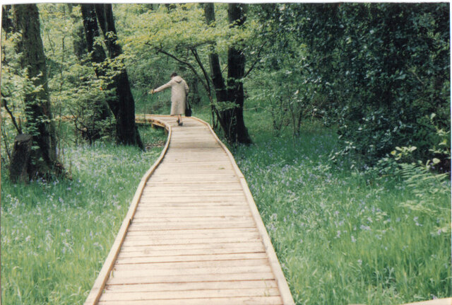
Llangeinwyr Images
Images are sourced within 2km of 51.576247/-3.570633 or Grid Reference SS9187. Thanks to Geograph Open Source API. All images are credited.

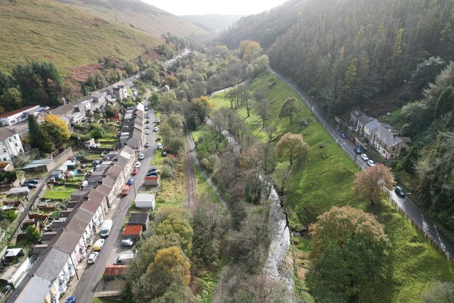


Llangeinwyr is located at Grid Ref: SS9187 (Lat: 51.576247, Lng: -3.570633)
Unitary Authority: Bridgend
Police Authority: South Wales
Also known as: Llangeinor
What 3 Words
///surpassed.nobody.training. Near Betws, Bridgend
Nearby Locations
Related Wikis

Llangeinor railway station
Llangeinor railway station served the village of Llangeinor, in the historical county of Glamorgan, Wales, from 1886 to 1953 on the Garw Valley Railway...

Ogmore (Senedd constituency)
Ogmore (Welsh: Ogwr) is a constituency of the Senedd. It elects one Member of the Senedd by the first past the post method of election. It is one of seven...

Llangeinor
Llangeinor (Welsh: Llangeinwyr) is a small village (and community council electoral ward) located in the Garw Valley around 5 miles (8 km) north of Bridgend...
Ogmore (UK Parliament constituency)
Ogmore (Welsh: Ogwr) is a constituency created in 1918 represented in the House of Commons of the UK Parliament by Chris Elmore of the Labour Party.The...
Nearby Amenities
Located within 500m of 51.576247,-3.570633Have you been to Llangeinwyr?
Leave your review of Llangeinwyr below (or comments, questions and feedback).