Cardiganshire
Historic County in
Wales
Cardiganshire
Cardiganshire, also known as Ceredigion in Welsh, is a historic county located on the west coast of Wales. It is bordered by the counties of Pembrokeshire to the south, Carmarthenshire to the east, and Gwynedd to the north. With a population of around 75,000 people, Cardiganshire covers an area of approximately 1,800 square kilometers.
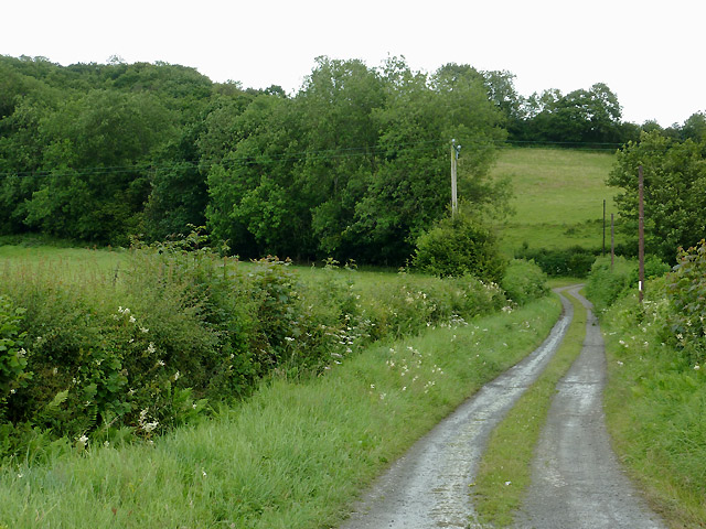
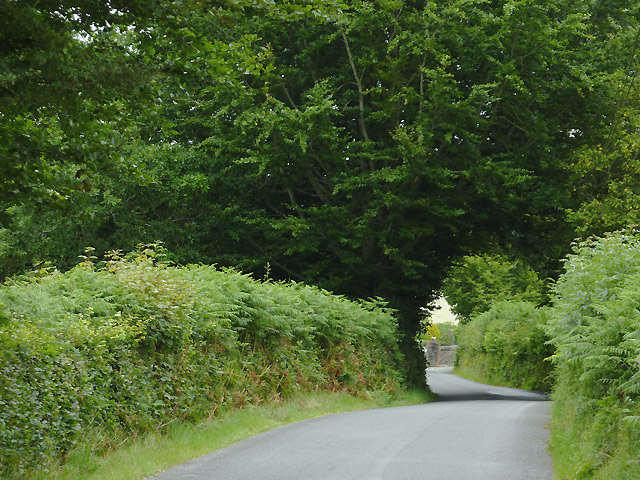
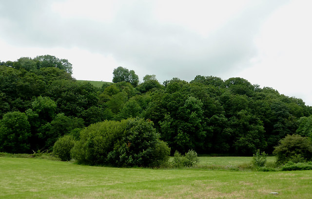
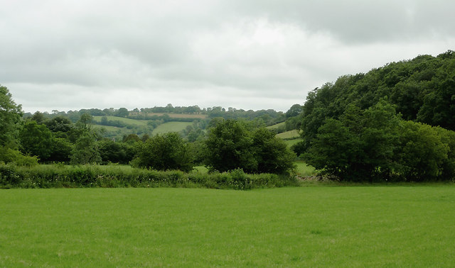
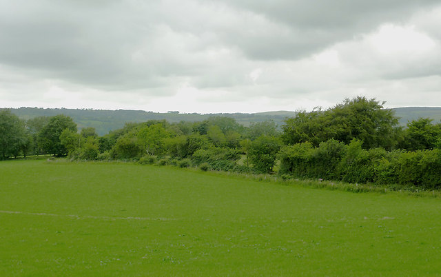
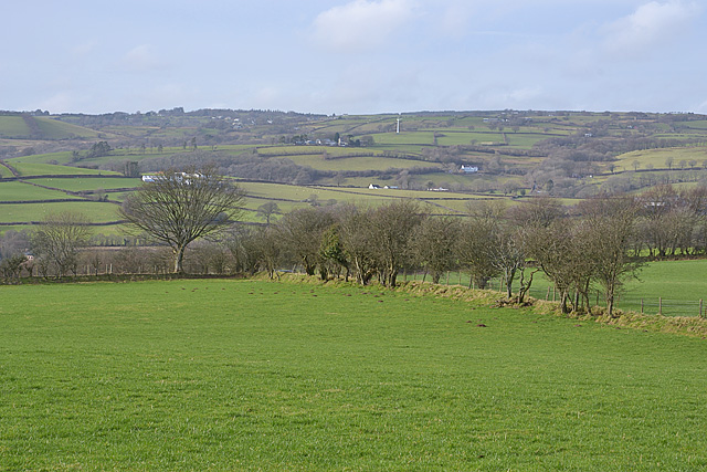
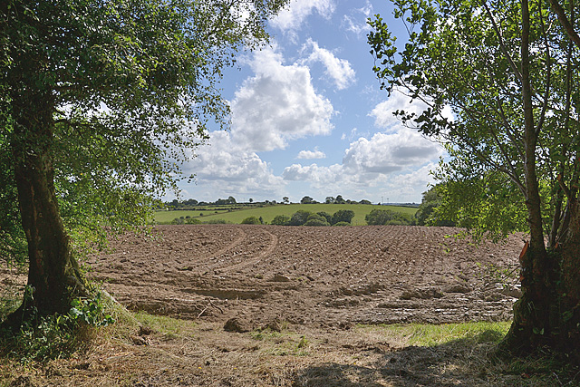
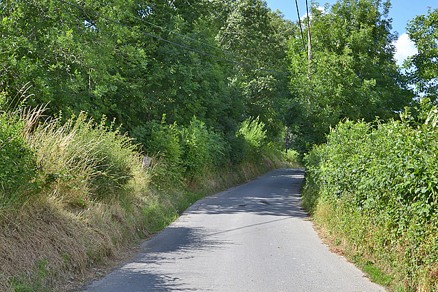
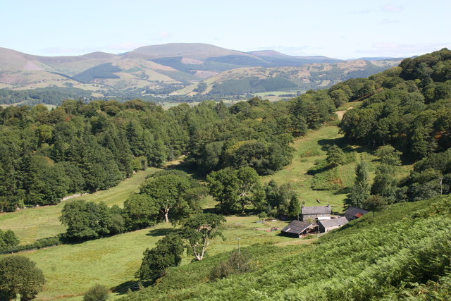
The county is characterized by its stunning natural beauty, with a diverse landscape that includes mountains, rolling hills, and a picturesque coastline. Cardiganshire is home to the Cambrian Mountains, which run through its eastern part, offering breathtaking views and opportunities for outdoor activities such as hiking and wildlife spotting.
The county's coastline stretches for over 50 miles and features sandy beaches, dramatic cliffs, and charming seaside towns. Popular tourist destinations along the coast include Aberystwyth, a vibrant university town with a historic castle and a renowned arts center, and New Quay, a picturesque fishing village famous for its resident population of bottlenose dolphins.
Cardiganshire has a rich history, with evidence of human settlements dating back to prehistoric times. It was an important region during the Welsh Princes' era and was later heavily influenced by the Normans and the English. The county played a significant role in the Welsh language and culture, with many Welsh-speaking communities still thriving today.
Today, Cardiganshire is a popular destination for tourists seeking natural beauty, outdoor activities, and a taste of Welsh culture. The county's diverse landscapes, historical sites, and warm hospitality make it an attractive place to visit for people of all ages and interests.
If you have any feedback on the listing, please let us know in the comments section below.
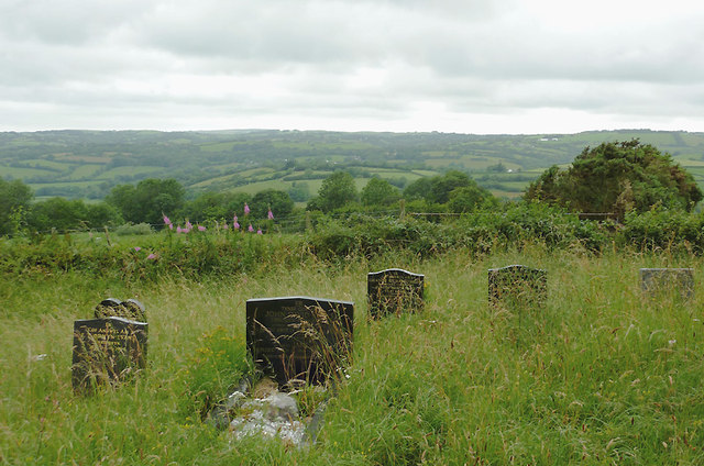
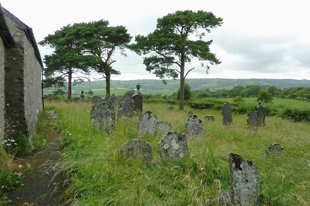
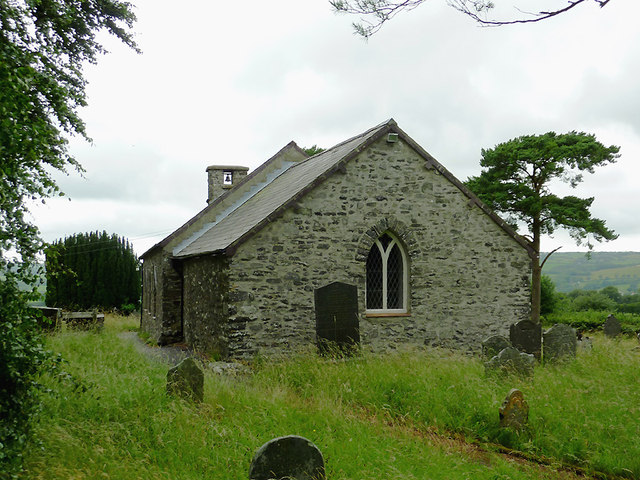
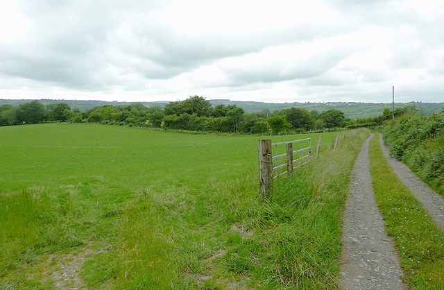
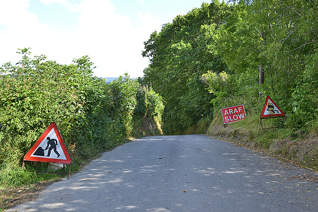
Cardiganshire Images
Images are sourced within 2km of 52.218513/-4.023145 or Grid Reference SN6159. Thanks to Geograph Open Source API. All images are credited.

Cardiganshire is located at Grid Ref: SN6159 (Lat: 52.218513, Lng: -4.023145)
Also known as: Sir Aberteifi, Ceredigion
What 3 Words
///rides.drags.affords. Near Tregaron, Ceredigion
Nearby Locations
Related Wikis

Llangeitho
Llangeitho is a village and community on the upper River Aeron in Ceredigion, Wales, about four miles (6 km) west of Tregaron and 11 kilometres (7 mi)...

Capel Betws Lleucu
Capel Betws Lleucu is a hamlet in Cardiganshire, Wales.SY postcode area SY 25 6 SN606583 == References == == External links == http://www.accuweather.com/en/gb/capel...
Llettum-ddu
Llettum-ddu is a hamlet in the community of Tregaron, Ceredigion, Wales, which is 61.3 miles (98.6 km) from Cardiff and 171.7 miles (276.3 km) from London...

Penuwch
Penuwch is a rural village in Ceredigion, Wales. Penuwch is about 1,000 feet above sea level and 8 miles west of Tregaron while the coast is a similar...
Crynfryn
Crynfryn is a hamlet bach in the community of Nantcwnlle, Ceredigion, Wales, which is 64.6 miles (104 km) from Cardiff and 175.7 miles (282.8 km) from...
Ceredigion
Ceredigion (UK: KERR-ə-DIG-ee-ən, US: -ee-on, Welsh: [kɛrɛˈdɪɡjɔn] ), historically Cardiganshire, is a county in the west of Wales. It borders Gwynedd...
Pont Llanio railway station
Pont Llanio railway station was a railway station in Wales on the former Carmarthen to Aberystwyth Line near Llanddewi Brefi. The railway station was built...
Cors Nantcwnlle
Cors Nantcwnlle is a Site of Special Scientific Interest near Bwlchllan in Ceredigion, west Wales. Until the early twentieth century the site was renowned...
Nearby Amenities
Located within 500m of 52.218513,-4.023145Have you been to Cardiganshire?
Leave your review of Cardiganshire below (or comments, questions and feedback).