West Cut
Sea, Estuary, Creek in Stirlingshire
Scotland
West Cut
West Cut is a picturesque coastal region located in Stirlingshire, Scotland. It is renowned for its stunning sea views, estuaries, and creeks, making it a popular destination for nature enthusiasts and outdoor enthusiasts alike.
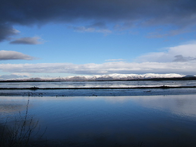
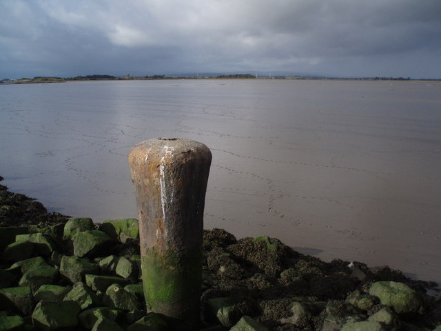
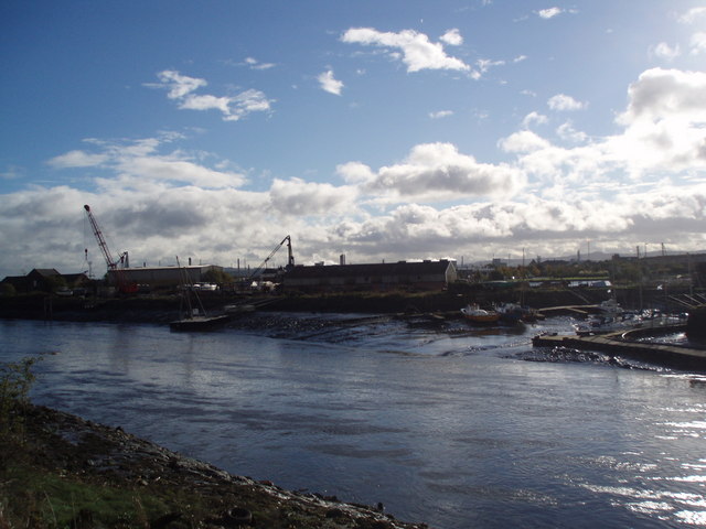
Situated on the western coast of Scotland, West Cut offers visitors a unique blend of rugged cliffs, sandy beaches, and rolling hills. The region's coastline stretches for several kilometers, providing ample opportunities for scenic walks and exploration. The sea surrounding West Cut is known for its crystal-clear waters and rich marine biodiversity, making it a haven for snorkelers and divers. The estuaries and creeks in the area also attract a variety of bird species, making it a popular spot for birdwatchers.
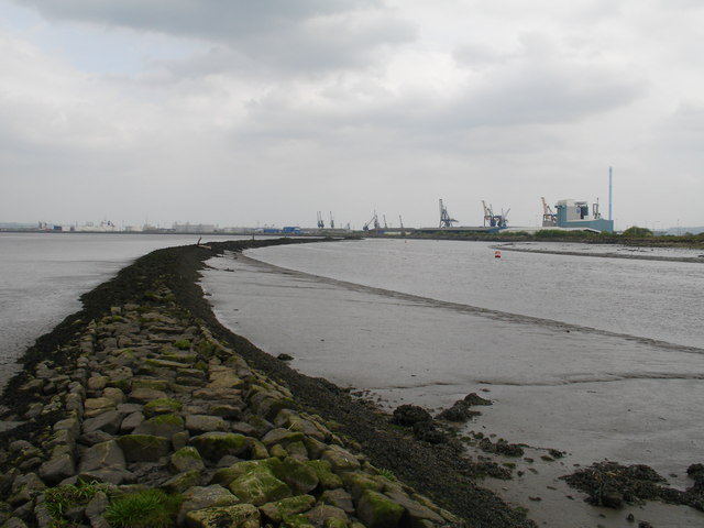
One of the prominent features of West Cut is its tidal estuary, which is formed where a river meets the sea. This dynamic ecosystem is home to a diverse range of flora and fauna, including fish, crustaceans, and various species of birds. The estuary's changing tides offer a fascinating spectacle, as the water levels fluctuate throughout the day.
West Cut is also known for its charming creeks, which meander through the landscape, creating serene and peaceful settings. These creeks provide an ideal spot for fishing, boating, or simply enjoying a tranquil picnic by the water's edge.
Overall, West Cut in Stirlingshire offers visitors a captivating blend of natural beauty, from its stunning sea views to its diverse estuaries and creeks. Whether exploring the coastline, observing the rich marine life, or simply immersing oneself in the peaceful ambiance, West Cut is a destination that truly showcases the splendor of Scotland's coastal landscapes.
If you have any feedback on the listing, please let us know in the comments section below.
West Cut Images
Images are sourced within 2km of 56.026501/-3.7047411 or Grid Reference NS9382. Thanks to Geograph Open Source API. All images are credited.


West Cut is located at Grid Ref: NS9382 (Lat: 56.026501, Lng: -3.7047411)
Unitary Authority: Falkirk
Police Authority: Forth Valley
What 3 Words
///themes.language.wobbles. Near Grangemouth, Falkirk
Nearby Locations
Related Wikis

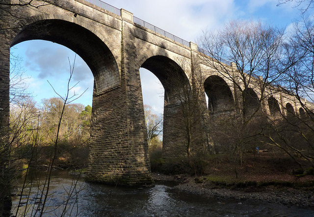
River Carron, Forth
The Carron (Gaelic: Carrann) is a river in central Scotland, rising in the Campsie Fells and flowing along Strathcarron into the Firth of Forth. It has...
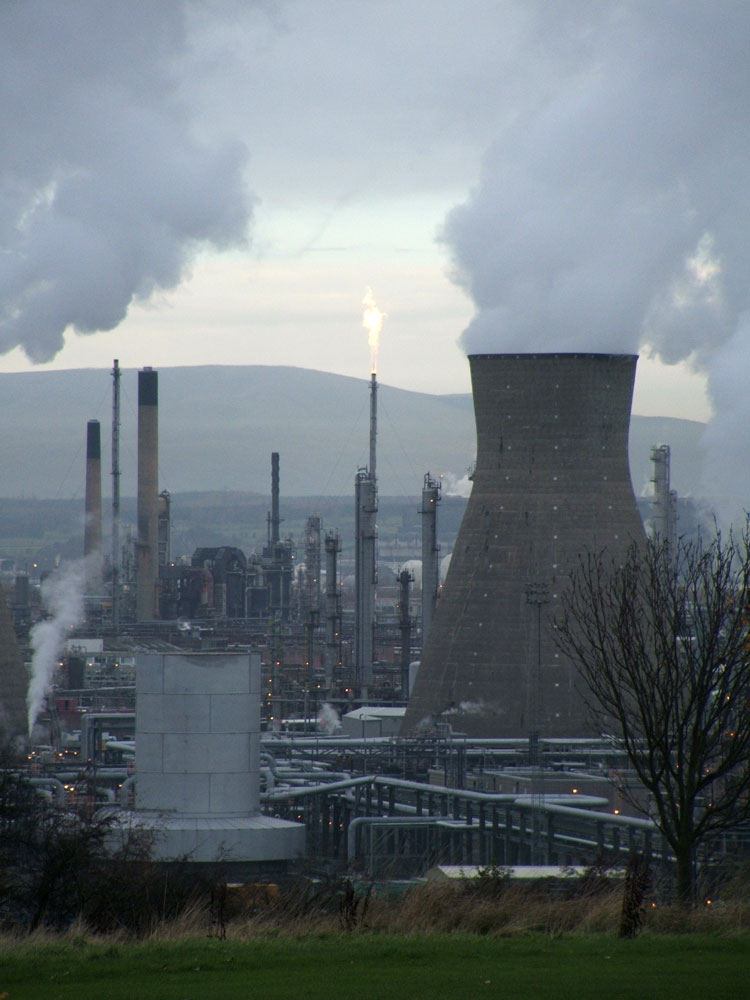
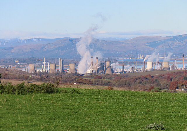
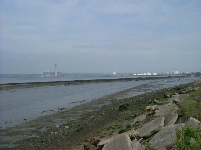
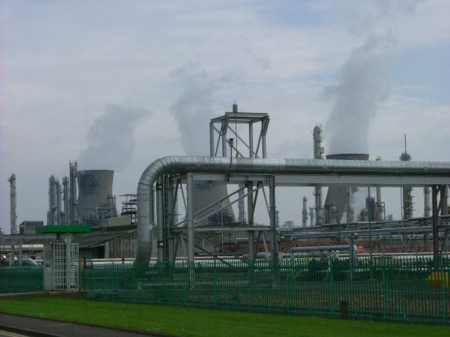
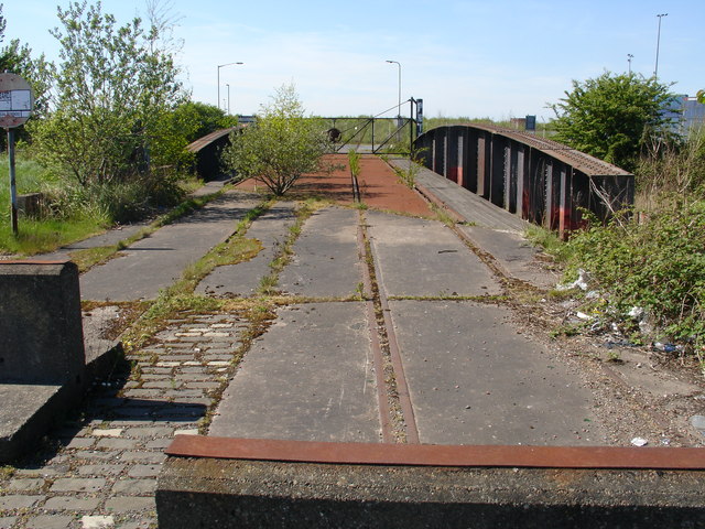
Grangemouth Refinery
Grangemouth Refinery is an oil refinery complex located on the Firth of Forth in Grangemouth, Scotland, currently operated by Petroineos. It is the only...

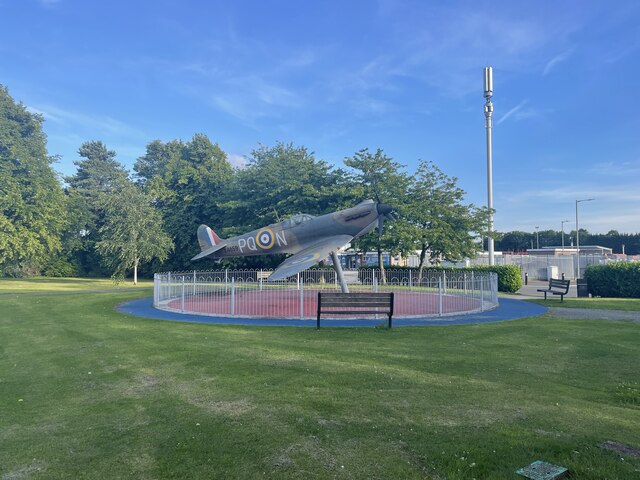
RAF Grangemouth
Royal Air Force Grangemouth or more simply RAF Grangemouth is a former Royal Air Force station located 3 mi (4.8 km) north east of Falkirk, Stirlingshire...
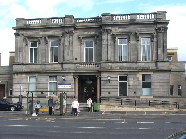
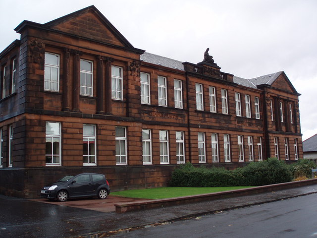
Grangemouth Town Hall
Grangemouth Town Hall is a municipal structure in Bo'ness Road, Grangemouth, Scotland. The structure was the meeting place of Grangemouth Burgh Council...

Grangemouth
Grangemouth (Scots: Grangemooth; Scottish Gaelic: Inbhir Ghrainnse, pronounced [ˈiɲɪɾʲ ˈɣɾaiɲʃə]) is a town in the Falkirk council area, Scotland. Historically...
River Avon, Falkirk
The Avon is a river largely in the Falkirk council area of Scotland. == Course == It originates, near some wind turbines, at what modern maps call Avonhead...

Glensburgh
Glensburgh is a very small and old hamlet situated on the south bank of the River Carron, 1.1 miles (1.8 km) north-west of Grangemouth. Originally built...

Longannet power station
Longannet power station was a large coal-fired power station in Fife, and the last coal-fired power station in Scotland. It was capable of co-firing biomass...
Nearby Amenities
Located within 500m of 56.026501,-3.7047411Have you been to West Cut?
Leave your review of West Cut below (or comments, questions and feedback).