Western Channel
Lake, Pool, Pond, Freshwater Marsh in Stirlingshire
Scotland
Western Channel
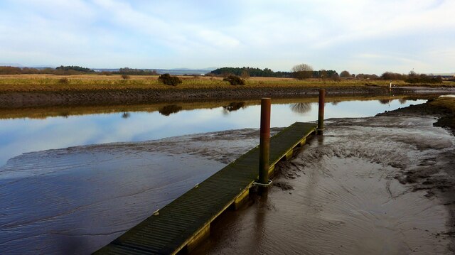
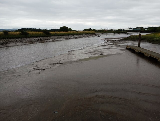
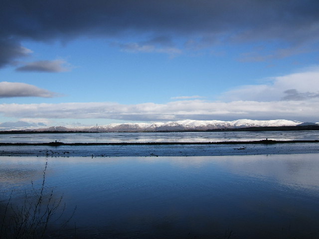
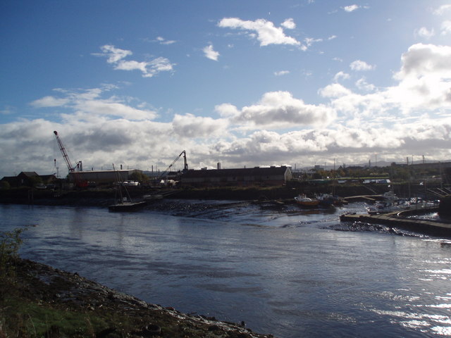
Western Channel is a freshwater body located in Stirlingshire, Scotland. It is a man-made lake that was created as part of a water management system in the area. The lake has a length of approximately 2 kilometers and covers an area of around 20 hectares.
The Western Channel is primarily used for water storage and flood management purposes. It acts as a reservoir, collecting excess water from surrounding areas during periods of heavy rainfall. The water is then slowly released to prevent flooding downstream, helping to regulate water levels in the region.
The lake is surrounded by a diverse range of habitats, including pools, ponds, and freshwater marshes. These habitats support a variety of plant and animal species, making Western Channel an important site for wildlife conservation. It provides a suitable breeding ground for various aquatic plants, such as reeds and water lilies, which create a picturesque landscape.
The diverse range of habitats also attracts a wide array of bird species, including waterfowl and wading birds. Visitors to the area can often spot species such as mallards, coots, herons, and even the occasional swan. The marshy areas are also home to amphibians, such as frogs and newts, further enhancing the ecological value of the Western Channel.
Overall, Western Channel in Stirlingshire serves as not only a functional water management system but also a haven for various plant and animal species. Its scenic beauty and ecological significance make it a popular destination for nature enthusiasts and a valuable asset to the local environment.
If you have any feedback on the listing, please let us know in the comments section below.
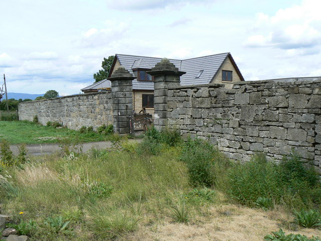
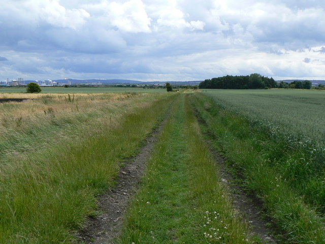
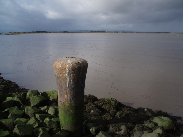
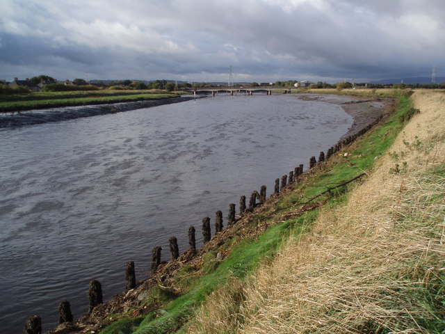
Western Channel Images
Images are sourced within 2km of 56.024571/-3.714332 or Grid Reference NS9382. Thanks to Geograph Open Source API. All images are credited.
Western Channel is located at Grid Ref: NS9382 (Lat: 56.024571, Lng: -3.714332)
Unitary Authority: Falkirk
Police Authority: Forth Valley
What 3 Words
///inspected.curtail.clothed. Near Grangemouth, Falkirk
Nearby Locations
Related Wikis

River Carron, Forth
The Carron (Gaelic: Carrann) is a river in central Scotland, rising in the Campsie Fells and flowing along Strathcarron into the Firth of Forth. It has...

Grangemouth Town Hall
Grangemouth Town Hall is a municipal structure in Bo'ness Road, Grangemouth, Scotland. The structure was the meeting place of Grangemouth Burgh Council...
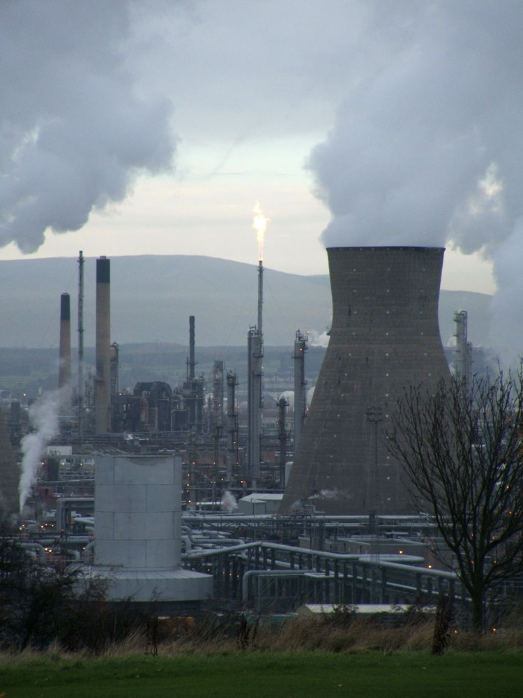
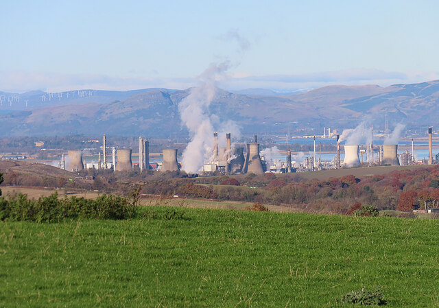
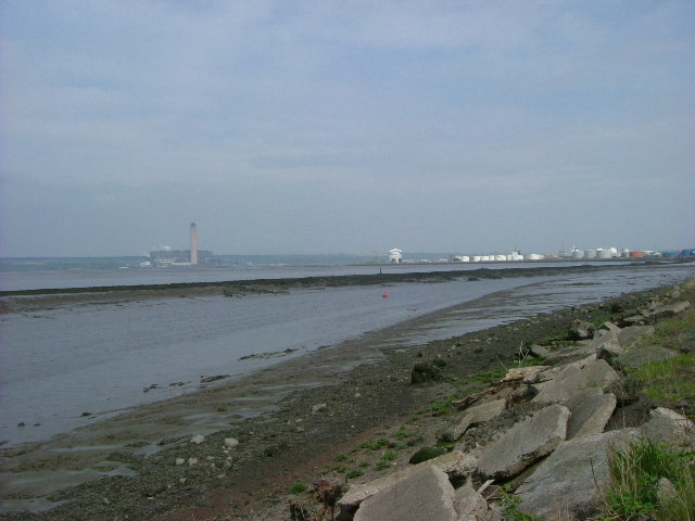
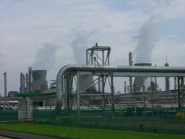
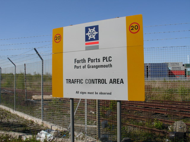
Grangemouth Refinery
Grangemouth Refinery is an oil refinery complex located on the Firth of Forth in Grangemouth, Scotland, currently operated by Petroineos. It is the only...

Grangemouth
Grangemouth (Scots: Grangemooth; Scottish Gaelic: Inbhir Ghrainnse, pronounced [ˈiɲɪɾʲ ˈɣɾaiɲʃə]) is a town in the Falkirk council area, Scotland. Historically...

RAF Grangemouth
Royal Air Force Grangemouth or more simply RAF Grangemouth is a former Royal Air Force station located 3 mi (4.8 km) north east of Falkirk, Stirlingshire...

Glensburgh
Glensburgh is a very small and old hamlet situated on the south bank of the River Carron, 1.1 miles (1.8 km) north-west of Grangemouth. Originally built...

Skinflats
Skinflats is a small village in the Falkirk council area of Scotland. It is located 1.5 miles (2.4 km) north-west of Grangemouth, 1.1 miles (1.8 km) east...

Grangemouth TMD
Grangemouth TMD was a traction maintenance depot located in Grangemouth, Scotland. The depot was situated on the Edinburgh to Dunblane Line and was near...
Nearby Amenities
Located within 500m of 56.024571,-3.714332Have you been to Western Channel?
Leave your review of Western Channel below (or comments, questions and feedback).