Soar Mill Cove

Sea, Estuary, Creek in Devon South Hams

England

Soar Mill Cove

Ocean Reach Shown under construction at <a href="https://www.geograph.org.uk/photo/5975951">SX6838 : Ocean Reach under construction</a> and now complete.
Ocean Reach Credit: Derek Harper

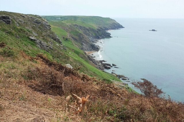
Soar Mill Cove is a picturesque cove located in South Devon, England. Situated between Salcombe and Hope Cove, it offers breathtaking views of the sea, estuary, and creek. The cove is nestled within the rugged cliffs of the South West Coast Path, providing a secluded and tranquil atmosphere for visitors.

The cove's main attraction is its pristine beach, which is known for its soft golden sand and crystal-clear waters. The beach is surrounded by towering cliffs, creating a natural amphitheater that offers protection from the elements. This makes it an ideal spot for swimming, sunbathing, and picnicking.

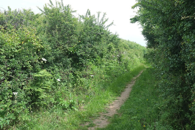
The estuary and creek at Soar Mill Cove are also worth exploring. The estuary, formed by the River Avon, provides a habitat for a variety of marine life, including fish, crabs, and seabirds. Visitors can take leisurely walks along the estuary, enjoying the peacefulness of the surrounding nature.

The creek at Soar Mill Cove is a haven for those seeking adventure. It is a popular spot for kayaking and paddleboarding, with its calm waters and stunning scenery. The creek also offers opportunities for wildlife spotting, as it is home to a diverse range of bird species.

In addition to its natural beauty, Soar Mill Cove has a rich history. The area was once a popular smuggling spot during the 18th century, and remnants of this past can still be seen today. The cove's proximity to the South West Coast Path also makes it a popular destination for hikers and nature enthusiasts.

Overall, Soar Mill Cove is a hidden gem in Devon, offering a combination of stunning coastal scenery, tranquil estuary walks, and exciting water activities.

If you have any feedback on the listing, please let us know in the comments section below.

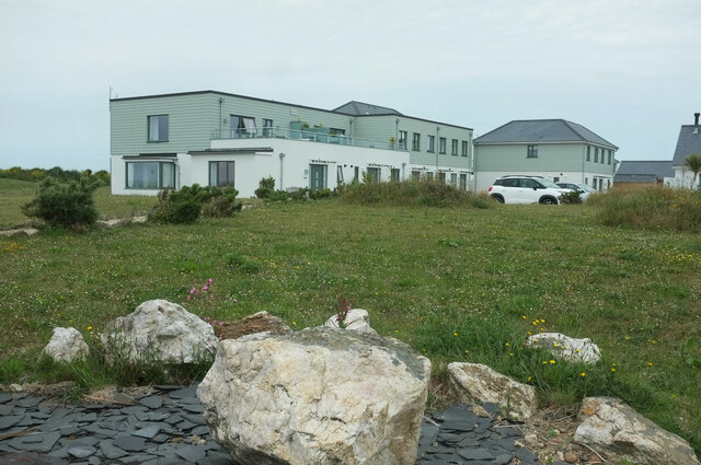
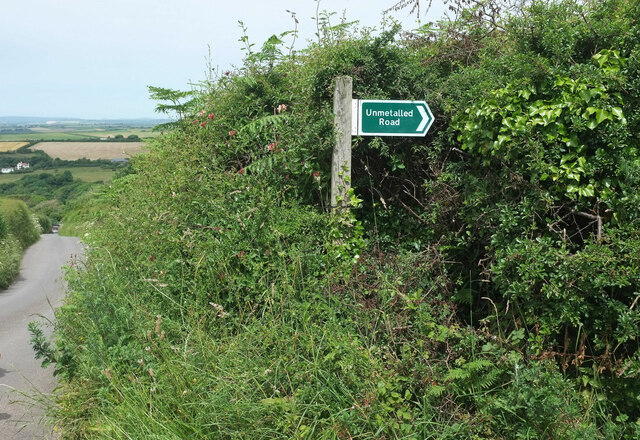
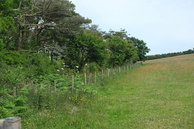
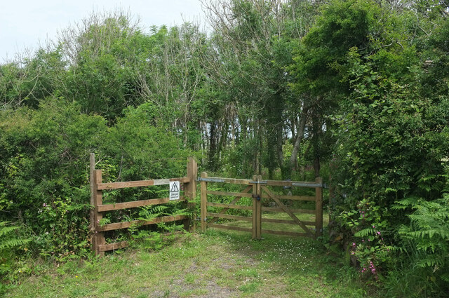
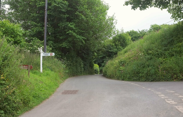
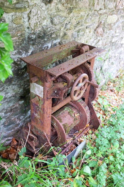
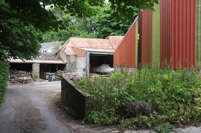
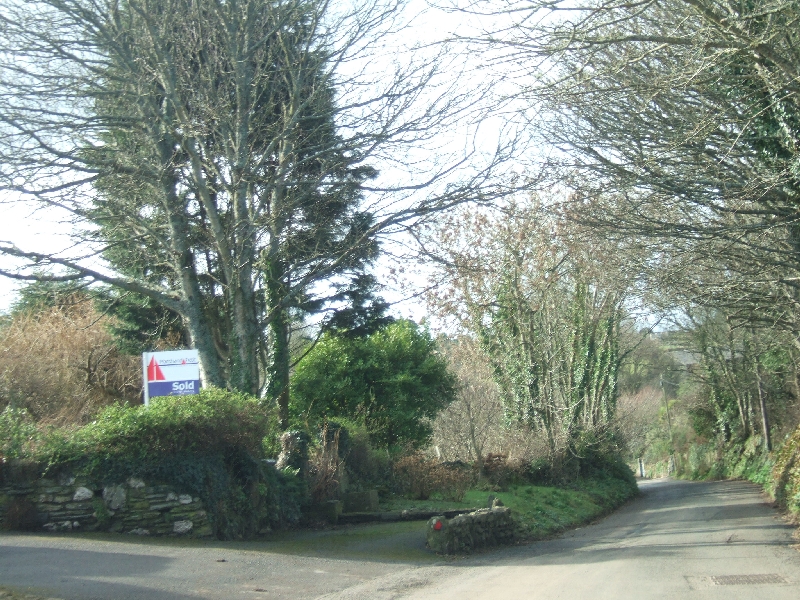
Soar Mill Cove Images

Images are sourced within 2km of 50.223045/-3.8278878 or Grid Reference SX6937. Thanks to Geograph Open Source API. All images are credited.

Ocean Reach Shown under construction at <a href="https://www.geograph.org.uk/photo/5975951">SX6838 : Ocean Reach under construction</a> and now complete.
Ocean Reach
Shown under construction at SX6838 : Ocean Reach under construction and now complete.
Overgrown Land Rover, Bolberry By a junction simply named "Bolberry" on the signpost. The sheds beside it are seen in <a href="https://www.geograph.org.uk/photo/2270769">SX6939 : Barns in Bolberry</a>. I wonder if the blackberries will taste different?
Overgrown Land Rover, Bolberry
By a junction simply named "Bolberry" on the signpost. The sheds beside it are seen in SX6939 : Barns in Bolberry. I wonder if the blackberries will taste different?
Coastline at Bolberry Down From the coast path. The distant farm is West Soar. In the foreground is fire damage, which had affected a substantial stretch of the vegetation by the path west of here.
Coastline at Bolberry Down
From the coast path. The distant farm is West Soar. In the foreground is fire damage, which had affected a substantial stretch of the vegetation by the path west of here.
Public access route near Bolberry Signed as "unmetalled road" and leaving the no through road to Bolberry Down.
Public access route near Bolberry
Signed as "unmetalled road" and leaving the no through road to Bolberry Down.
Unmetalled road sign Looking left from <a href="https://www.geograph.org.uk/photo/7662061">SX6938 : Public access route near Bolberry</a>, with the no through road from Bolberry Down dropping to the village of Bolberry.
Unmetalled road sign
Looking left from SX6938 : Public access route near Bolberry, with the no through road from Bolberry Down dropping to the village of Bolberry.
Leslie's Wood Taken further down the lane shown in <a href="https://www.geograph.org.uk/photo/7662136">SX6938 : Unmetalled road sign</a>.
Leslie's Wood
Taken further down the lane shown in SX6938 : Unmetalled road sign.
Leslie's Wood Entrance to the wood seen in <a href="https://www.geograph.org.uk/photo/7662363">SX6938 : Leslie's Wood</a>, for those with permission. "Danger keep out" reads the notice.
Leslie's Wood
Entrance to the wood seen in SX6938 : Leslie's Wood, for those with permission. "Danger keep out" reads the notice.
Lane junction, Bolberry The right turn is a no through road to Bolberry Down. Straight on is a southern route to Malborough.
Lane junction, Bolberry
The right turn is a no through road to Bolberry Down. Straight on is a southern route to Malborough.
Crushing mill, Bolberry Alas, unlike the not dissimilar one shown at <a href="https://www.geograph.org.uk/photo/6999019">ST2719 : Crushing mill, Slough Green</a>, any names and places have rusted away.
Crushing mill, Bolberry
Alas, unlike the not dissimilar one shown at ST2719 : Crushing mill, Slough Green, any names and places have rusted away.
Bolberry House Farm Outbuildings seen from the lane to North Bolberry.
Bolberry House Farm
Outbuildings seen from the lane to North Bolberry.
View over the Bolberry Stream valley From Malborough footpath 5, with a caravan site behind Bolberry House Farm towards the left.
View over the Bolberry Stream valley
From Malborough footpath 5, with a caravan site behind Bolberry House Farm towards the left.
Soar Mill Cove Low tide on Soar Mill Cove reveals a secluded sandy beach.
Soar Mill Cove
Low tide on Soar Mill Cove reveals a secluded sandy beach.
Sea caves at Soar Mill Cove Low tide at Soar Mill Cove reveals these sea caves at the back of the beach.
Sea caves at Soar Mill Cove
Low tide at Soar Mill Cove reveals these sea caves at the back of the beach.
Cattle above Soar Mill Cove Cattle graze on the raised beach behind the cove, to the consternation of some visiting children. "How do I get past them?", one small boy asked me. Considering he'd just walked from Bolberry Down, they seemed a very minor impediment.
Cattle above Soar Mill Cove
Cattle graze on the raised beach behind the cove, to the consternation of some visiting children. "How do I get past them?", one small boy asked me. Considering he'd just walked from Bolberry Down, they seemed a very minor impediment.
Ham Stone From a narrow piece of clifftop grassland that juts into the square.
Ham Stone
From a narrow piece of clifftop grassland that juts into the square.
South Devon coast The South Devon Coast viewed from Bolberry Down.
South Devon coast
The South Devon Coast viewed from Bolberry Down.
Coast at Saltern Pike Coast at Saltern Point viewed from Bolberry Downs.
Coast at Saltern Pike
Coast at Saltern Point viewed from Bolberry Downs.
Coast path at West Cliff The South West Coast Path at West Cliff to the south of Bolberry.
Coast path at West Cliff
The South West Coast Path at West Cliff to the south of Bolberry.
Show me another place!

Soar Mill Cove is located at Grid Ref: SX6937 (Lat: 50.223045, Lng: -3.8278878)

Administrative County: Devon

District: South Hams

Police Authority: Devon and Cornwall

What 3 Words

///pepper.firework.vanish. Near Salcombe, Devon

Related Wikis

Bolberry

Bolberry is a hamlet on the south coast of Devon, England. The village is mentioned in Domesday Book in 1066 and 1086, which shows the land was of little...

Bolberry Down

Bolberry Down is a clifftop area on the coast of Devon, England. The headland of Bolt Tail lies to the west and Bolt Head and the town of Salcombe to the...

RAF Bolt Head

Royal Air Force Bolt Head or more simply RAF Bolt Head is a former Royal Air Force satellite airfield 1 mile (1.6 km) south west of Salcombe on the south...

SS Maine

SS Maine was a British steamship launched in 1905 as a 3600-ton cargo steamer with a triple-expansion engine. She was torpedoed and sunk on 21 November...

Malborough

Malborough is a village located in the South Hams region of Devon. The village is located on the A381 between Kingsbridge and Salcombe, and is a popular...

RAF Hope Cove

Royal Air Force Hope Cove or more simply RAF Hope Cove is a former Royal Air Force radar station. It is located about 1 mile (1.6 km) south west of Salcombe...

Galmpton, South Hams

Galmpton is a small hamlet near Thurlestone, Devon, England. It is in the South Hams district and is five miles west of Salcombe. In 1870-72 Galmpton had...

Bolt Head

Bolt Head is a National Trust headland on the South Coast of Devon, England, United Kingdom, situated west of the Kingsbridge Estuary. It is a popular...

Nearby Amenities

Located within 500m of 50.223045,-3.8278878
Source: PGS
Lat/Long: 50.2237251/-3.8278666
Source: PGS
Lat/Long: 50.2231059/-3.8269998
Bench
Backrest: no
Lat/Long: 50.226625/-3.8313369
Lantern Rock
Place: locality
Lat/Long: 50.2251295/-3.833414
Priest & Clerk
Place: locality
Lat/Long: 50.2226012/-3.8280991
Stannings Rocks
Place: locality
Lat/Long: 50.2205234/-3.8265714
Cathole Cliff
Place: locality
Lat/Long: 50.2261102/-3.832442
Mousehill Brake
Place: locality
Lat/Long: 50.2258701/-3.8236028
Bench
Lat/Long: 50.2242797/-3.8289402
Cathole Point
Place: locality
Lat/Long: 50.2269235/-3.8304127
The data included in this document is from www.openstreetmap.org. The data is made available under ODbL.

Have you been to Soar Mill Cove?

Leave your review of Soar Mill Cove below (or comments, questions and feedback).