Lantern Rock

Coastal Feature, Headland, Point in Devon South Hams

England

Lantern Rock

Hope Barton Hotel near the village of Hope.
Hope Barton Credit: Wayland Smith

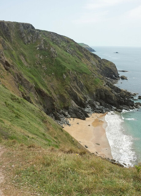
Lantern Rock is a prominent coastal feature located in Devon, England. It is a striking headland jutting out into the sea, with a distinctive and picturesque shape resembling a lantern. This natural formation has become an iconic landmark in the region, attracting visitors from near and far.

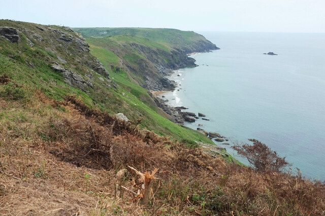
Situated along the rugged coastline of Devon, Lantern Rock offers breathtaking views of the surrounding area. From its vantage point, one can marvel at the vast expanse of the Atlantic Ocean and the dramatic cliffs that line the coast. The rock itself is composed of sturdy granite, which has withstood the relentless pounding of the waves over countless centuries.

Lantern Rock is not only visually impressive but also holds historical significance. It has been mentioned in various local folklore and legends, adding to its allure. The site is also known for its diverse marine life, making it a popular spot for snorkelers and scuba divers who explore the underwater world surrounding the headland.

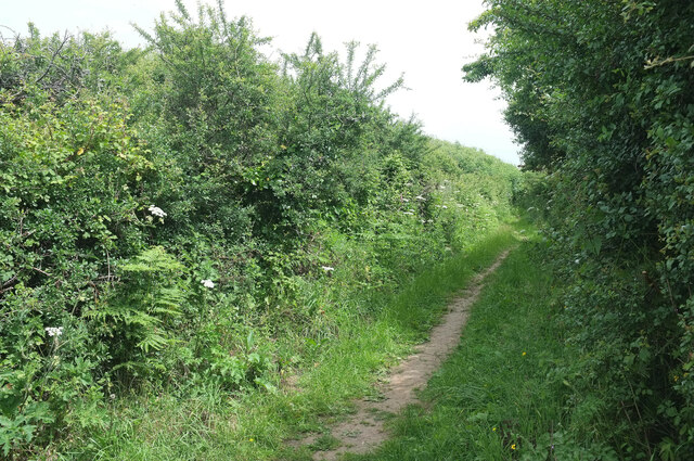
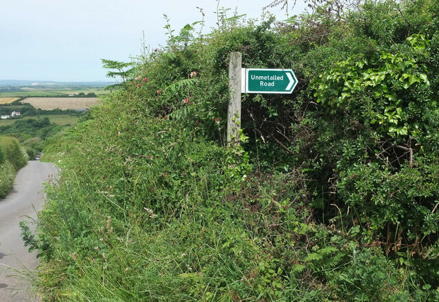
Access to Lantern Rock is relatively easy, with pathways and trails leading up to the site. Visitors can enjoy leisurely walks along the coastline, taking in the fresh sea breeze and admiring the natural beauty of the area. The headland is also equipped with safety measures, such as railings and warning signs, ensuring that visitors can enjoy the experience while staying safe.

Overall, Lantern Rock is a remarkable coastal feature that combines natural beauty, historical significance, and recreational opportunities. Whether one is a nature enthusiast, a history buff, or simply seeking a peaceful escape by the sea, this headland is sure to captivate and inspire all who visit.

If you have any feedback on the listing, please let us know in the comments section below.
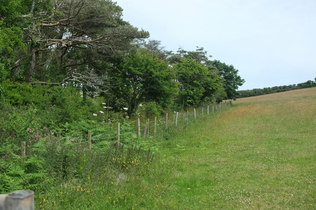
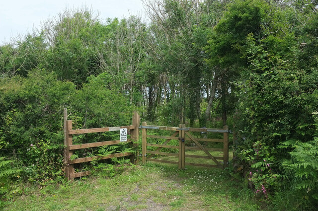
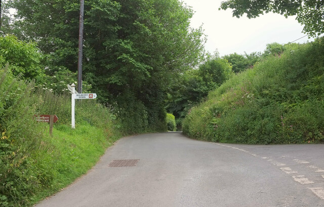
Lantern Rock Images

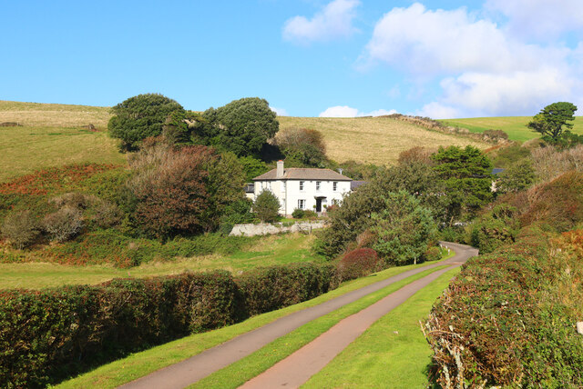
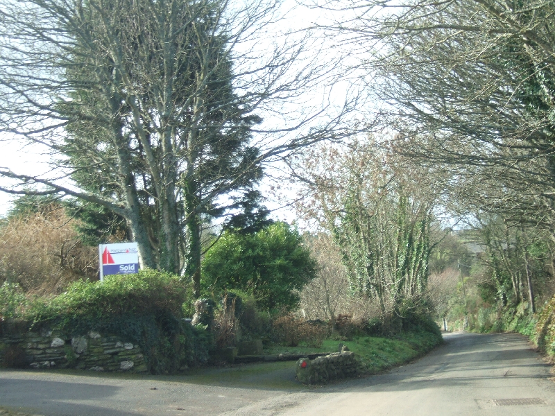
Images are sourced within 2km of 50.225046/-3.833334 or Grid Reference SX6937. Thanks to Geograph Open Source API. All images are credited.

Hope Barton Hotel near the village of Hope.
Hope Barton
Hotel near the village of Hope.
Footpath near Bolberry Start of the footpath towards North Bolberry.
Footpath near Bolberry
Start of the footpath towards North Bolberry.
Ocean Reach Shown under construction at <a href="https://www.geograph.org.uk/photo/5975951">SX6838 : Ocean Reach under construction</a> and now complete.
Ocean Reach
Shown under construction at SX6838 : Ocean Reach under construction and now complete.
Overgrown Land Rover, Bolberry By a junction simply named "Bolberry" on the signpost. The sheds beside it are seen in <a href="https://www.geograph.org.uk/photo/2270769">SX6939 : Barns in Bolberry</a>. I wonder if the blackberries will taste different?
Overgrown Land Rover, Bolberry
By a junction simply named "Bolberry" on the signpost. The sheds beside it are seen in SX6939 : Barns in Bolberry. I wonder if the blackberries will taste different?
Hugh's Hole Looking down onto the sandy cove from the coast path.
Hugh's Hole
Looking down onto the sandy cove from the coast path.
Coastline at Bolberry Down From the coast path. The distant farm is West Soar. In the foreground is fire damage, which had affected a substantial stretch of the vegetation by the path west of here.
Coastline at Bolberry Down
From the coast path. The distant farm is West Soar. In the foreground is fire damage, which had affected a substantial stretch of the vegetation by the path west of here.
Public access route near Bolberry Signed as "unmetalled road" and leaving the no through road to Bolberry Down.
Public access route near Bolberry
Signed as "unmetalled road" and leaving the no through road to Bolberry Down.
Unmetalled road sign Looking left from <a href="https://www.geograph.org.uk/photo/7662061">SX6938 : Public access route near Bolberry</a>, with the no through road from Bolberry Down dropping to the village of Bolberry.
Unmetalled road sign
Looking left from SX6938 : Public access route near Bolberry, with the no through road from Bolberry Down dropping to the village of Bolberry.
Leslie's Wood Taken further down the lane shown in <a href="https://www.geograph.org.uk/photo/7662136">SX6938 : Unmetalled road sign</a>.
Leslie's Wood
Taken further down the lane shown in SX6938 : Unmetalled road sign.
Leslie's Wood Entrance to the wood seen in <a href="https://www.geograph.org.uk/photo/7662363">SX6938 : Leslie's Wood</a>, for those with permission. "Danger keep out" reads the notice.
Leslie's Wood
Entrance to the wood seen in SX6938 : Leslie's Wood, for those with permission. "Danger keep out" reads the notice.
Lane junction, Bolberry The right turn is a no through road to Bolberry Down. Straight on is a southern route to Malborough.
Lane junction, Bolberry
The right turn is a no through road to Bolberry Down. Straight on is a southern route to Malborough.
Crushing mill, Bolberry Alas, unlike the not dissimilar one shown at <a href="https://www.geograph.org.uk/photo/6999019">ST2719 : Crushing mill, Slough Green</a>, any names and places have rusted away.
Crushing mill, Bolberry
Alas, unlike the not dissimilar one shown at ST2719 : Crushing mill, Slough Green, any names and places have rusted away.
Bolberry House Farm Outbuildings seen from the lane to North Bolberry.
Bolberry House Farm
Outbuildings seen from the lane to North Bolberry.
Mill Cottage, Bolberry A thatched cottage by the lane to North Bolberry.
Mill Cottage, Bolberry
A thatched cottage by the lane to North Bolberry.
Hillside, Bolberry The north side of the Bolberry Stream valley.
Hillside, Bolberry
The north side of the Bolberry Stream valley.
Meadow near Bolberry From the public access route to North Bolberry.
Meadow near Bolberry
From the public access route to North Bolberry.
View over the Bolberry Stream valley From Malborough footpath 5, with a caravan site behind Bolberry House Farm towards the left.
View over the Bolberry Stream valley
From Malborough footpath 5, with a caravan site behind Bolberry House Farm towards the left.
View over the Bolberry Stream valley Looking right from <a href="https://www.geograph.org.uk/photo/7663585">SX6939 : View over the Bolberry Stream valley</a>, with another caravan site a little down the valley.
View over the Bolberry Stream valley
Looking right from SX6939 : View over the Bolberry Stream valley, with another caravan site a little down the valley.
Show me another place!

Lantern Rock is located at Grid Ref: SX6937 (Lat: 50.225046, Lng: -3.833334)

Administrative County: Devon

District: South Hams

Police Authority: Devon and Cornwall

What 3 Words

///burglars.conclude.dialect. Near Salcombe, Devon

Related Wikis

Bolberry

Bolberry is a hamlet on the south coast of Devon, England. The village is mentioned in Domesday Book in 1066 and 1086, which shows the land was of little...

Bolberry Down

Bolberry Down is a clifftop area on the coast of Devon, England. The headland of Bolt Tail lies to the west and Bolt Head and the town of Salcombe to the...

SS Maine

SS Maine was a British steamship launched in 1905 as a 3600-ton cargo steamer with a triple-expansion engine. She was torpedoed and sunk on 21 November...

Malborough

Malborough is a village and civil parish in the South Hams region of Devon. The village is located on the A381 between Kingsbridge and Salcombe, and is...

Nearby Amenities

Located within 500m of 50.225046,-3.833334
Source: PGS
Lat/Long: 50.2237251/-3.8278666
Source: PGS
Lat/Long: 50.2231059/-3.8269998
Bench
Backrest: no
Lat/Long: 50.226625/-3.8313369
Lantern Rock
Place: locality
Lat/Long: 50.2251295/-3.833414
Priest & Clerk
Place: locality
Lat/Long: 50.2226012/-3.8280991
Cathole Cliff
Place: locality
Lat/Long: 50.2261102/-3.832442
West Cliff
Place: locality
Lat/Long: 50.2280792/-3.836064
Bench
Lat/Long: 50.2242797/-3.8289402
Bench
Backrest: no
Lat/Long: 50.2274583/-3.8330217
Tourism: viewpoint
Lat/Long: 50.2269982/-3.8323212
Cathole Point
Place: locality
Lat/Long: 50.2269235/-3.8304127
The data included in this document is from www.openstreetmap.org. The data is made available under ODbL.

Have you been to Lantern Rock?

Leave your review of Lantern Rock below (or comments, questions and feedback).