Hazel Tor

Coastal Feature, Headland, Point in Devon South Hams

England

Hazel Tor

Footpath near Bolberry Start of the footpath towards North Bolberry.
Footpath near Bolberry Credit: Wayland Smith

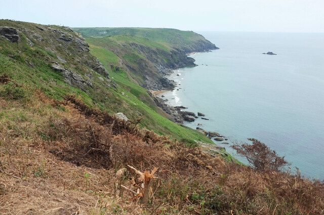
Hazel Tor is a prominent headland located on the coast of Devon, England. Situated on the southernmost tip of the county, it offers spectacular views of the surrounding coastline and the English Channel. The headland is characterized by its rugged cliffs, which rise dramatically from the sea, creating a stunning natural landscape.

Hazel Tor is renowned for its geological significance, as it is composed mainly of red sandstone, which is visible in the exposed cliffs. This rock formation provides a unique glimpse into the area's geological history, dating back millions of years. The headland is also home to a diverse range of flora and fauna, with several rare plant species found in the surrounding area.

Due to its elevated position, Hazel Tor is often subjected to strong winds and rough seas. These natural forces have shaped the cliffs over time, creating intricate patterns and formations. The headland is a popular destination for nature enthusiasts and hikers, who come to explore the numerous walking trails that traverse the area.

Visitors to Hazel Tor can enjoy panoramic views of the coastline, with landmarks such as Start Point and Bolt Tail visible in the distance. The headland is also a prime spot for birdwatching, as it attracts a variety of seabirds and migratory species throughout the year.

Overall, Hazel Tor is a captivating coastal feature that showcases the natural beauty and geological diversity of Devon's coastline. Its rugged cliffs, stunning views, and abundant wildlife make it a must-visit destination for nature lovers and those seeking an immersive coastal experience.

If you have any feedback on the listing, please let us know in the comments section below.
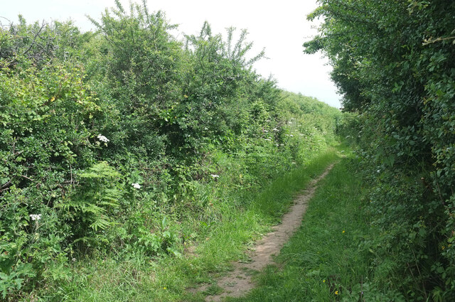
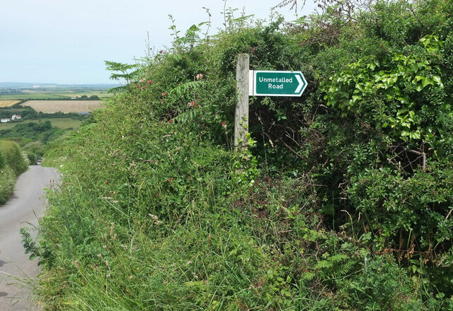
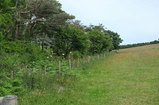
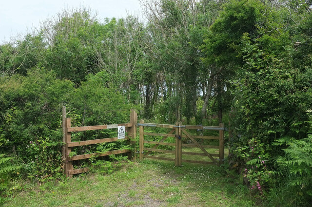
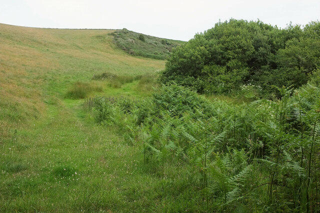
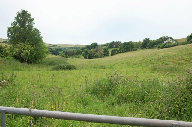
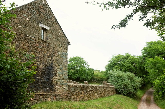
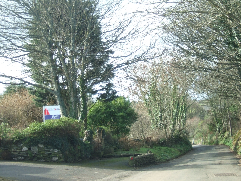
Hazel Tor Images

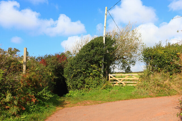
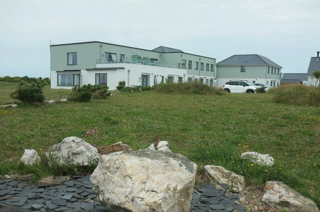
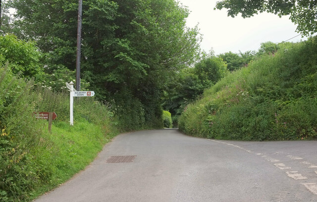
Images are sourced within 2km of 50.226792/-3.8258159 or Grid Reference SX6937. Thanks to Geograph Open Source API. All images are credited.

Footpath near Bolberry Start of the footpath towards North Bolberry.
Footpath near Bolberry
Start of the footpath towards North Bolberry.
Ocean Reach Shown under construction at <a href="https://www.geograph.org.uk/photo/5975951">SX6838 : Ocean Reach under construction</a> and now complete.
Ocean Reach
Shown under construction at SX6838 : Ocean Reach under construction and now complete.
Overgrown Land Rover, Bolberry By a junction simply named "Bolberry" on the signpost. The sheds beside it are seen in <a href="https://www.geograph.org.uk/photo/2270769">SX6939 : Barns in Bolberry</a>. I wonder if the blackberries will taste different?
Overgrown Land Rover, Bolberry
By a junction simply named "Bolberry" on the signpost. The sheds beside it are seen in SX6939 : Barns in Bolberry. I wonder if the blackberries will taste different?
Coastline at Bolberry Down From the coast path. The distant farm is West Soar. In the foreground is fire damage, which had affected a substantial stretch of the vegetation by the path west of here.
Coastline at Bolberry Down
From the coast path. The distant farm is West Soar. In the foreground is fire damage, which had affected a substantial stretch of the vegetation by the path west of here.
Public access route near Bolberry Signed as "unmetalled road" and leaving the no through road to Bolberry Down.
Public access route near Bolberry
Signed as "unmetalled road" and leaving the no through road to Bolberry Down.
Unmetalled road sign Looking left from <a href="https://www.geograph.org.uk/photo/7662061">SX6938 : Public access route near Bolberry</a>, with the no through road from Bolberry Down dropping to the village of Bolberry.
Unmetalled road sign
Looking left from SX6938 : Public access route near Bolberry, with the no through road from Bolberry Down dropping to the village of Bolberry.
Leslie's Wood Taken further down the lane shown in <a href="https://www.geograph.org.uk/photo/7662136">SX6938 : Unmetalled road sign</a>.
Leslie's Wood
Taken further down the lane shown in SX6938 : Unmetalled road sign.
Leslie's Wood Entrance to the wood seen in <a href="https://www.geograph.org.uk/photo/7662363">SX6938 : Leslie's Wood</a>, for those with permission. "Danger keep out" reads the notice.
Leslie's Wood
Entrance to the wood seen in SX6938 : Leslie's Wood, for those with permission. "Danger keep out" reads the notice.
Lane junction, Bolberry The right turn is a no through road to Bolberry Down. Straight on is a southern route to Malborough.
Lane junction, Bolberry
The right turn is a no through road to Bolberry Down. Straight on is a southern route to Malborough.
Crushing mill, Bolberry Alas, unlike the not dissimilar one shown at <a href="https://www.geograph.org.uk/photo/6999019">ST2719 : Crushing mill, Slough Green</a>, any names and places have rusted away.
Crushing mill, Bolberry
Alas, unlike the not dissimilar one shown at ST2719 : Crushing mill, Slough Green, any names and places have rusted away.
Bolberry House Farm Outbuildings seen from the lane to North Bolberry.
Bolberry House Farm
Outbuildings seen from the lane to North Bolberry.
Mill Cottage, Bolberry A thatched cottage by the lane to North Bolberry.
Mill Cottage, Bolberry
A thatched cottage by the lane to North Bolberry.
Hillside, Bolberry The north side of the Bolberry Stream valley.
Hillside, Bolberry
The north side of the Bolberry Stream valley.
Meadow near Bolberry From the public access route to North Bolberry.
Meadow near Bolberry
From the public access route to North Bolberry.
North Bolberry The gable end of a farm building at the junction of two public access routes.
North Bolberry
The gable end of a farm building at the junction of two public access routes.
View over the Bolberry Stream valley From Malborough footpath 5, with a caravan site behind Bolberry House Farm towards the left.
View over the Bolberry Stream valley
From Malborough footpath 5, with a caravan site behind Bolberry House Farm towards the left.
View over the Bolberry Stream valley Looking right from <a href="https://www.geograph.org.uk/photo/7663585">SX6939 : View over the Bolberry Stream valley</a>, with another caravan site a little down the valley.
View over the Bolberry Stream valley
Looking right from SX6939 : View over the Bolberry Stream valley, with another caravan site a little down the valley.
Soar Mill Cove Low tide on Soar Mill Cove reveals a secluded sandy beach.
Soar Mill Cove
Low tide on Soar Mill Cove reveals a secluded sandy beach.
Show me another place!

Hazel Tor is located at Grid Ref: SX6937 (Lat: 50.226792, Lng: -3.8258159)

Administrative County: Devon

District: South Hams

Police Authority: Devon and Cornwall

What 3 Words

///survivor.importers.amount. Near Salcombe, Devon

Related Wikis

Bolberry

Bolberry is a hamlet on the south coast of Devon, England. The village is mentioned in Domesday Book in 1066 and 1086, which shows the land was of little...

Bolberry Down

Bolberry Down is a clifftop area on the coast of Devon, England. The headland of Bolt Tail lies to the west and Bolt Head and the town of Salcombe to the...

RAF Bolt Head

Royal Air Force Bolt Head or more simply RAF Bolt Head is a former Royal Air Force satellite airfield 1 mile (1.6 km) south west of Salcombe on the south...

Malborough

Malborough is a village and civil parish in the South Hams region of Devon. The village is located on the A381 between Kingsbridge and Salcombe, and is...

Nearby Amenities

Located within 500m of 50.226792,-3.8258159
Source: PGS
Lat/Long: 50.2237251/-3.8278666
Source: PGS
Lat/Long: 50.2231059/-3.8269998
Bench
Backrest: no
Lat/Long: 50.226625/-3.8313369
Priest & Clerk
Place: locality
Lat/Long: 50.2226012/-3.8280991
Cathole Cliff
Place: locality
Lat/Long: 50.2261102/-3.832442
Mousehill Brake
Place: locality
Lat/Long: 50.2258701/-3.8236028
Bench
Lat/Long: 50.2242797/-3.8289402
Tourism: viewpoint
Lat/Long: 50.2269982/-3.8323212
Cathole Point
Place: locality
Lat/Long: 50.2269235/-3.8304127
The data included in this document is from www.openstreetmap.org. The data is made available under ODbL.

Have you been to Hazel Tor?

Leave your review of Hazel Tor below (or comments, questions and feedback).