Cumstoun Pool

Sea, Estuary, Creek in Kirkcudbrightshire

Scotland

Cumstoun Pool
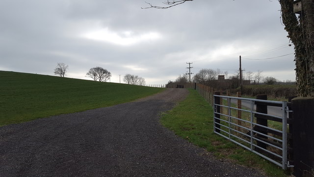
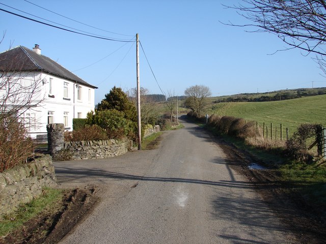
New access road at Tongland This is a recently constructed access road from the public roadway at Tongland.
New access road at Tongland Credit: Peter Mackenzie

The requested URL returned error: 429 Too Many Requests

If you have any feedback on the listing, please let us know in the comments section below.

Cumstoun Pool Images

Images are sourced within 2km of 54.853806/-4.0500108 or Grid Reference NX6852. Thanks to Geograph Open Source API. All images are credited.
New access road at Tongland This is a recently constructed access road from the public roadway at Tongland.
New access road at Tongland
This is a recently constructed access road from the public roadway at Tongland.
Upper Tongland View NE from the last houses in Tongland (E of River Dee) on the Tongland-Rhonehouse minor road.
Upper Tongland
View NE from the last houses in Tongland (E of River Dee) on the Tongland-Rhonehouse minor road.
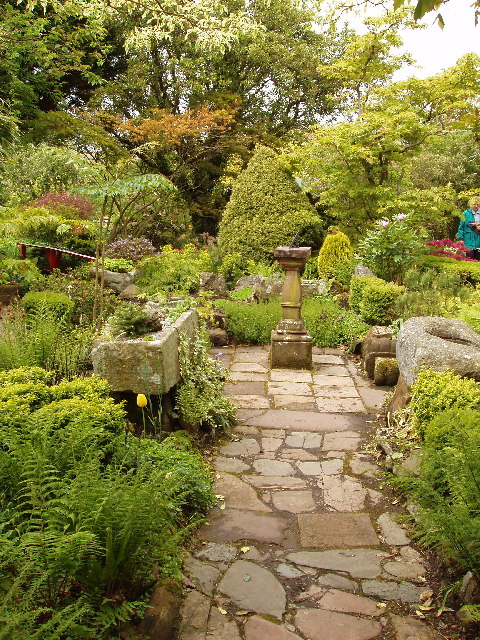
Garden of Broughton House, Kirkcudbright, home of artist E A Hornel E A Hornel was a well known artist in Scotland from the 1880s to 1930. He visited Japan in 1893 and this influenced his garden design. He was born in Australia in 1864, but his family returned to their home area in Kirkcudbright soon after. National Trust for Scotland own the house.
Garden of Broughton House, Kirkcudbright, home of artist E A Hornel
E A Hornel was a well known artist in Scotland from the 1880s to 1930. He visited Japan in 1893 and this influenced his garden design. He was born in Australia in 1864, but his family returned to their home area in Kirkcudbright soon after. National Trust for Scotland own the house.
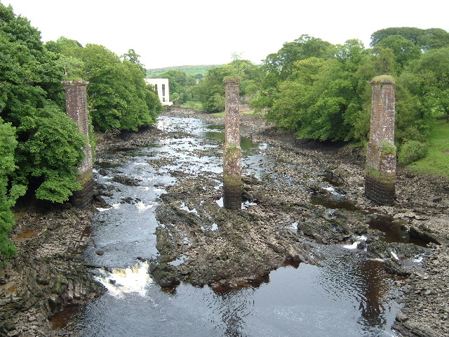
Tongland Bridge View through the remains of a railway bridge to the hydroelectric power station
Tongland Bridge
View through the remains of a railway bridge to the hydroelectric power station
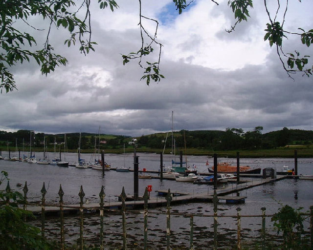
The River at Kirkcudbright At low tide here the river recedes to leave extensive  banks of somewhat unpleasant grey mud
The River at Kirkcudbright
At low tide here the river recedes to leave extensive banks of somewhat unpleasant grey mud
Kirkcudbright Harbour
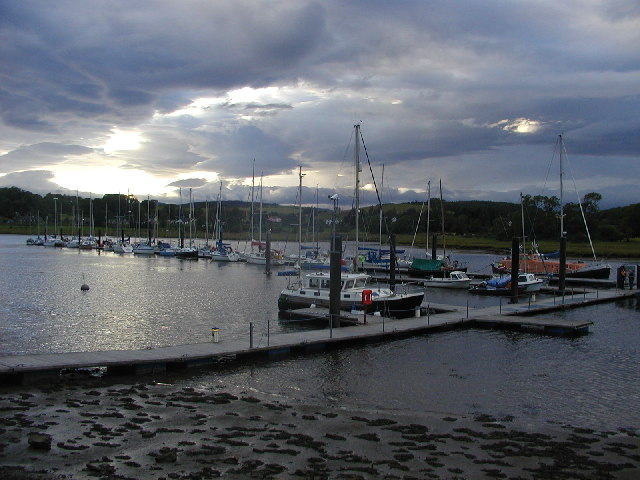
Shelter from the storm Yachts at Kirkcudbright marina after a storm warning. The marina isn't usually as crowded as this!
Shelter from the storm
Yachts at Kirkcudbright marina after a storm warning. The marina isn't usually as crowded as this!
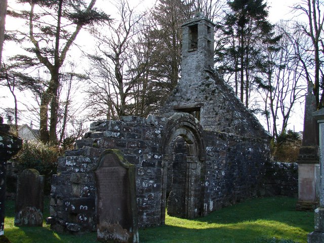
Cemetery Gates and stones, Kirkcudbright
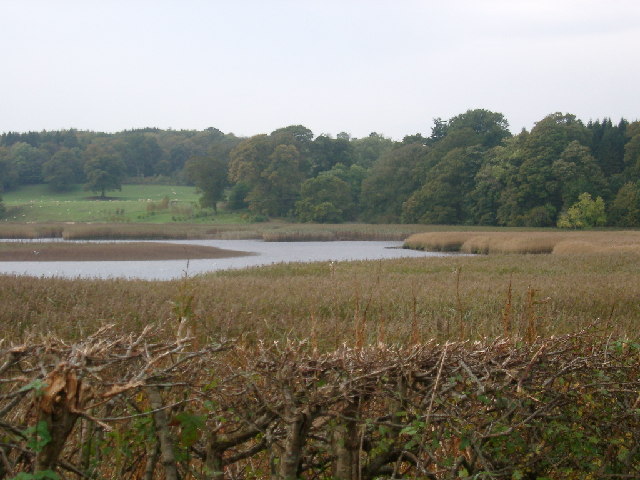
Tarff Water near Tongland Reedbeds near Tarff Water's junction with River Dee at Puldroit
Tarff Water near Tongland
Reedbeds near Tarff Water's junction with River Dee at Puldroit
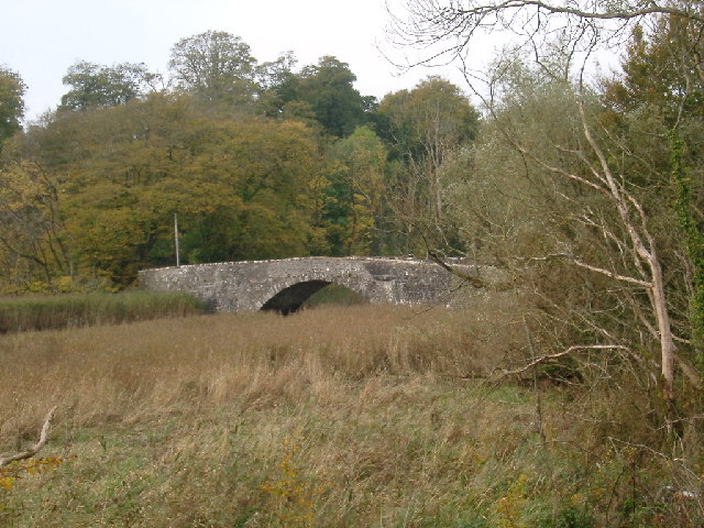
Low Bridge of Tarff nr Tongland Crossing the Tarff Water not far upstream from its confluence with the River Dee upstream from Kirkcudbright
Low Bridge of Tarff nr Tongland
Crossing the Tarff Water not far upstream from its confluence with the River Dee upstream from Kirkcudbright
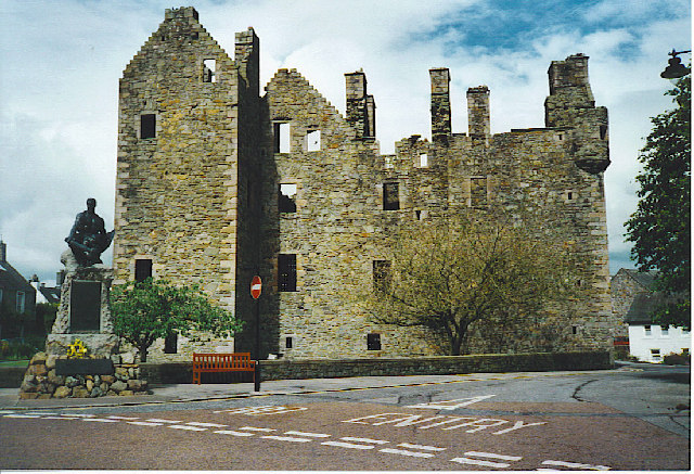
McLellan's Castle, Kirkcudbright. A red sandstone ruined castle, dating from 1582, and right in the middle of this former county town.
McLellan's Castle, Kirkcudbright.
A red sandstone ruined castle, dating from 1582, and right in the middle of this former county town.
St Cuthbert Street, Kirkcudbright. A wide street with many houses painted in pastel colours - a feature of Kirkcudbright. At the end of the street is the ruined McLellan's Castle.
St Cuthbert Street, Kirkcudbright.
A wide street with many houses painted in pastel colours - a feature of Kirkcudbright. At the end of the street is the ruined McLellan's Castle.
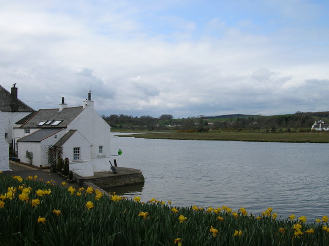
Kirkcudbright harbour at high tide At high tide navigation into Kirkcudbright is relatively easy as this springtime shot suggests.
Kirkcudbright harbour at high tide
At high tide navigation into Kirkcudbright is relatively easy as this springtime shot suggests.
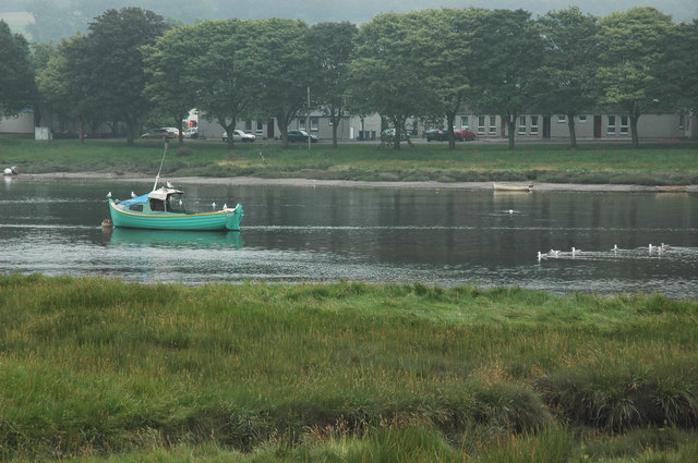
Boat on the River Dee at Kircudbright I was stood near the bridge the far side from the town.
Boat on the River Dee at Kircudbright
I was stood near the bridge the far side from the town.
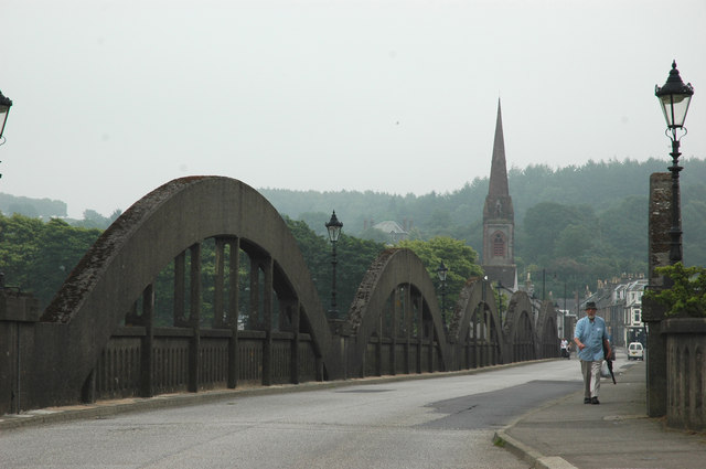
Kirkcudbright Bridge
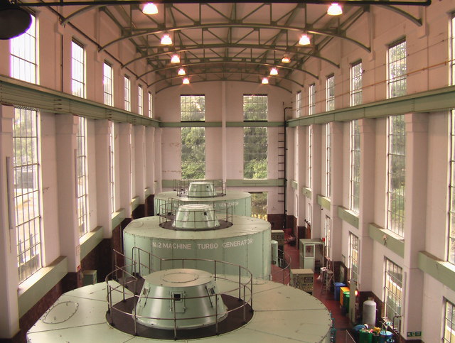
Turbine hall - Tongland HEP station
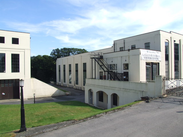
Tongland Power Station The last and largest of the Galloway hydro stations, Tongland is home to the Visitors Centre open April to October.  With three machines, Tongland is the most powerful of the scheme's six stations.
Tongland Power Station
The last and largest of the Galloway hydro stations, Tongland is home to the Visitors Centre open April to October. With three machines, Tongland is the most powerful of the scheme's six stations.
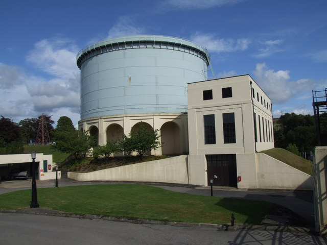
Tongland Power Station Surge Tank and Main Inlet Valve House.
Tongland Power Station
Surge Tank and Main Inlet Valve House.
Show me another place!

Cumstoun Pool is located at Grid Ref: NX6852 (Lat: 54.853806, Lng: -4.0500108)

Unitary Authority: Dumfries and Galloway

Police Authority: Dumfries and Galloway

What 3 Words

///renewals.quitter.upwards. Near Kirkcudbright, Dumfries & Galloway

Related Wikis

Tongland

Tongland is a small village about 2 miles (3 km) north of Kirkcudbright, in the historic county of Kirkcudbrightshire in Dumfries and Galloway, Scotland...

Tongland Abbey

Tungland or Tongland Abbey was a Premonstratensian monastic community located in Tongland in the historical county of Kirkcudbrightshire in Dumfries and...

Kirkcudbright Railway

The Kirkcudbright Railway was a railway branch line linking Kirkcudbright to the Castle Douglas and Dumfries Railway at Castle Douglas. It opened in 1864...

Kirkcudbright railway station

Kirkcudbright railway station served the town of Kirkcudbright, Dumfries and Galloway, Scotland from 1864 to 1965 on the Kirkcudbright Railway. == History... ==

Nearby Amenities

Located within 500m of 54.853806,-4.0500108
Source: PGS
Lat/Long: 54.8493474/-4.0499213
Source: PGS
Lat/Long: 54.8494277/-4.0502722
Source: PGS
Lat/Long: 54.8497878/-4.0505919
Source: PGS
Lat/Long: 54.8505449/-4.0507728
Source: PGS
Lat/Long: 54.8510977/-4.0507406
Source: PGS
Lat/Long: 54.8515832/-4.0506494
Source: PGS
Lat/Long: 54.852212/-4.0509026
Source: PGS
Lat/Long: 54.8525894/-4.0509692
Source: PGS
Lat/Long: 54.8534849/-4.0513264
Source: PGS
Lat/Long: 54.8542149/-4.0511532
Source: PGS
Lat/Long: 54.8545028/-4.0514519
Source: PGS
Lat/Long: 54.8550562/-4.0513844
Source: PGS
Lat/Long: 54.8554718/-4.0512706
Source: PGS
Lat/Long: 54.8557719/-4.0511526
Source: PGS
Lat/Long: 54.8563421/-4.0511466
Source: PGS
Lat/Long: 54.8570394/-4.0507635
Source: PGS
Lat/Long: 54.8574694/-4.0506103
Source: PGS
Lat/Long: 54.8578545/-4.0503561
Source: PGS
Lat/Long: 54.8557481/-4.0429908
Source: PGS
Lat/Long: 54.8552976/-4.0435813
Source: PGS
Lat/Long: 54.8551844/-4.0444699
Source: PGS
Lat/Long: 54.8549234/-4.045211
Source: PGS
Lat/Long: 54.854764/-4.0457346
Source: PGS
Lat/Long: 54.8544095/-4.0470832
Source: PGS
Lat/Long: 54.8540989/-4.0481131
Source: PGS
Lat/Long: 54.8537666/-4.0486657
Source: PGS
Lat/Long: 54.8533243/-4.0489542
Source: PGS
Lat/Long: 54.8528154/-4.0489929
Source: PGS
Lat/Long: 54.8523954/-4.0490305
Source: PGS
Lat/Long: 54.8515401/-4.0488736
Source: PGS
Lat/Long: 54.851346/-4.0488524
Source: PGS
Lat/Long: 54.8511039/-4.0487193
Source: PGS
Lat/Long: 54.8508587/-4.0485906
Source: PGS
Lat/Long: 54.8505184/-4.048317
Source: PGS
Lat/Long: 54.8503856/-4.0481507
Source: PGS
Lat/Long: 54.8501811/-4.0478395
Source: PGS
Lat/Long: 54.8500681/-4.047507
Source: PGS
Lat/Long: 54.850078/-4.0468761
Source: PGS
Lat/Long: 54.8501107/-4.0462731
Power: pole
Lat/Long: 54.8498901/-4.0521842
Power: pole
Lat/Long: 54.8502345/-4.0511542
Power: pole
Lat/Long: 54.851544/-4.0507251
Power: pole
Lat/Long: 54.8534247/-4.0513071
Power: pole
Lat/Long: 54.8551941/-4.0514359
Power: pole
Lat/Long: 54.8565775/-4.0510791
Power: pole
Lat/Long: 54.8574638/-4.0509262
Cumstoun Castle
Historic: castle
Url: https://canmore.org.uk/site/64129/cumstoun-castle
Lat/Long: 54.8566497/-4.0543964
The data included in this document is from www.openstreetmap.org. The data is made available under ODbL.

Have you been to Cumstoun Pool?

Leave your review of Cumstoun Pool below (or comments, questions and feedback).