Port an t-Strathain

Sea, Estuary, Creek in Sutherland

Scotland

Port an t-Strathain

Trig Point Trig point on Eilean nan Ron.
Trig Point Credit: David Bremner

The requested URL returned error: 429 Too Many Requests

If you have any feedback on the listing, please let us know in the comments section below.

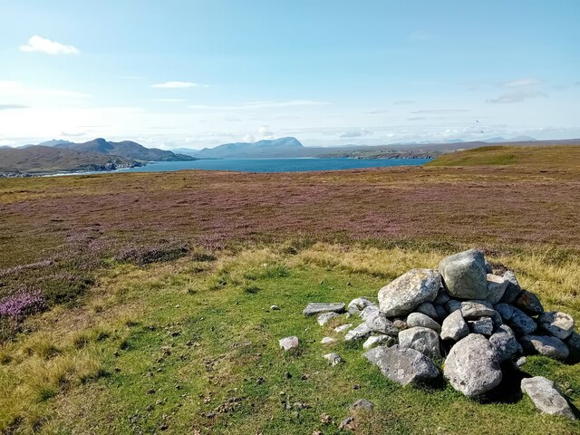
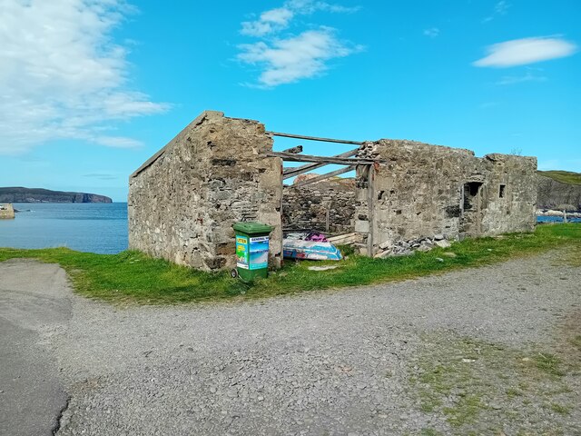
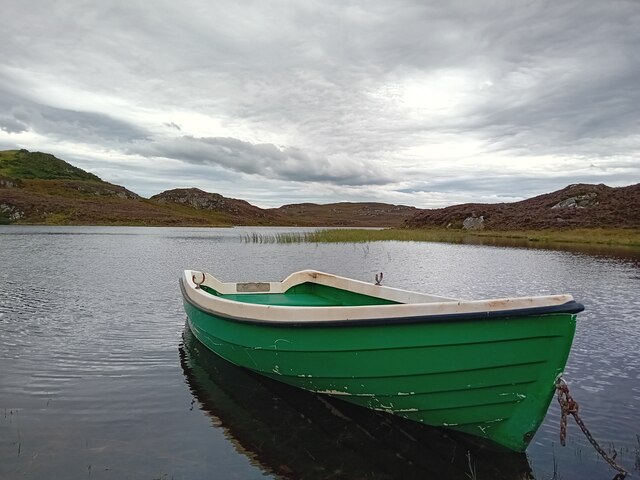
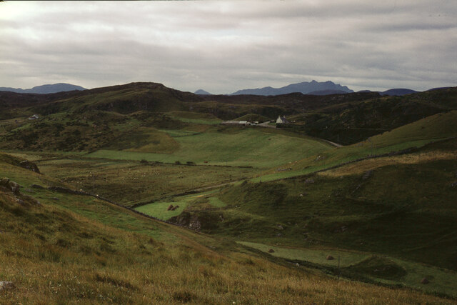
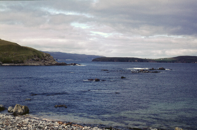
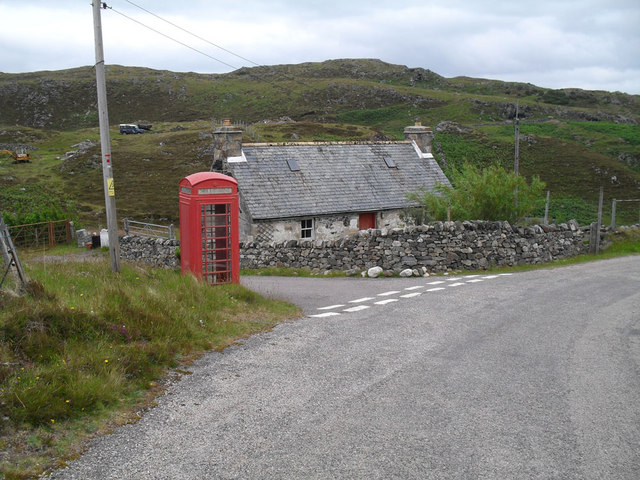
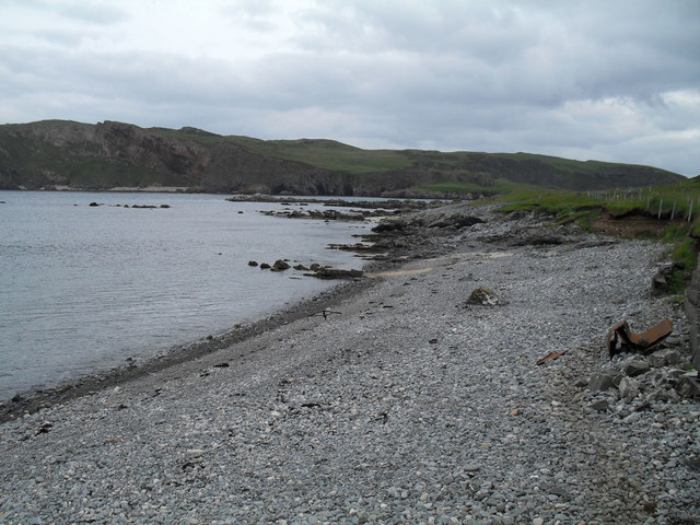
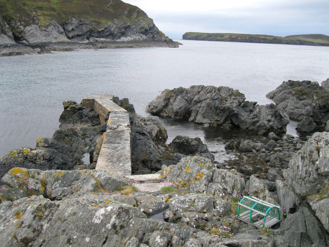
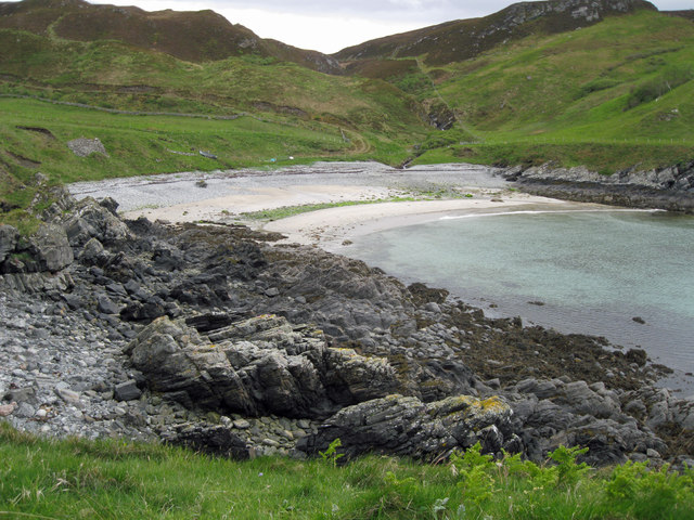
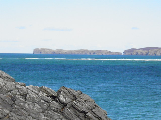
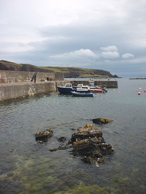
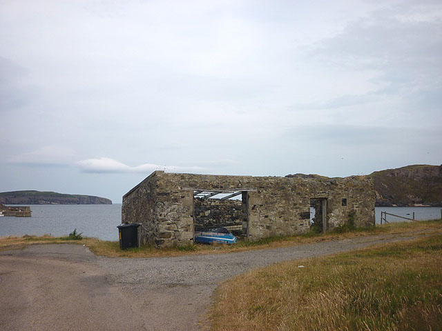
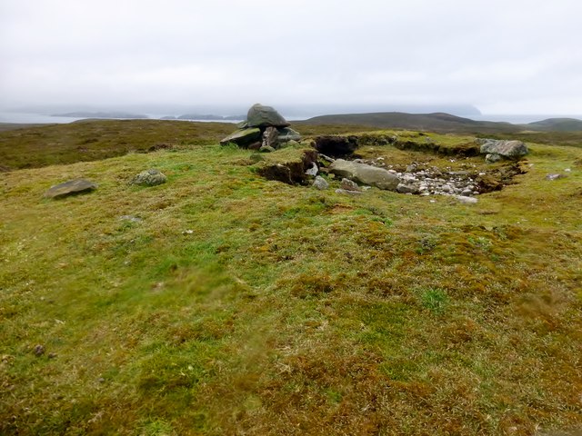
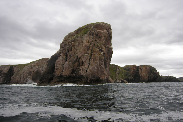
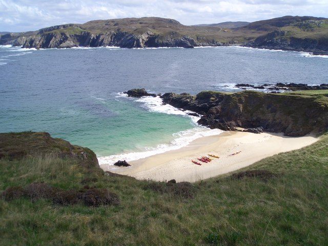
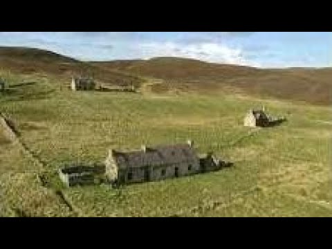
Port an t-Strathain Images

Images are sourced within 2km of 58.540189/-4.3329785 or Grid Reference NC6463. Thanks to Geograph Open Source API. All images are credited.

Trig Point Trig point on Eilean nan Ron.
Trig Point
Trig point on Eilean nan Ron.
On Island Roan The Kyle of Tongue beyond.
On Island Roan
The Kyle of Tongue beyond.
Old Store, Skerray The ruin of the old store at Skerray.
Old Store, Skerray
The ruin of the old store at Skerray.
Loch Modsarie
Loch Modsarie
Eilean nan Ron from Bagh Challbacaidh (Coldbackie) The largest of the islands in Tongue Bay. The narrow channel between it and its smaller neighbour, Eilean Iosal, on the left is clearly seen.
Eilean nan Ron from Bagh Challbacaidh (Coldbackie)
The largest of the islands in Tongue Bay. The narrow channel between it and its smaller neighbour, Eilean Iosal, on the left is clearly seen.
The hamlet of Skerray Looking south-south-west towards Ben Loyal.
The hamlet of Skerray
Looking south-south-west towards Ben Loyal.
Skerray Bay Not a bay I would be very happy to navigate into (although there is, or was, a pier on the far side, just out of shot on the left).

The southern part of Eilean nan Ron is beyond the bay, with a few deserted houses visible.
Skerray Bay
Not a bay I would be very happy to navigate into (although there is, or was, a pier on the far side, just out of shot on the left). The southern part of Eilean nan Ron is beyond the bay, with a few deserted houses visible.
Phonebox near Skerray
Stony beach at Skerray
Old jetty in Lamigo Bay The relatively new creel on the rocks indicates that the jetty is still in use, although no boat was visible at this time.
Old jetty in Lamigo Bay
The relatively new creel on the rocks indicates that the jetty is still in use, although no boat was visible at this time.
Lamigo Bay This deserted sandy beach lies at the head of Lamigo Bay.
Lamigo Bay
This deserted sandy beach lies at the head of Lamigo Bay.
Eilean nan Ron
Eilean nan Ron
Pier at Skerray Harbour Neave (or Coombe) Island beyond across Caol Beag.
Pier at Skerray Harbour
Neave (or Coombe) Island beyond across Caol Beag.
Roofless building, Skerray Bay Eilan nan Ron (left) and Neave (Coombe) Island off shore.
Roofless building, Skerray Bay
Eilan nan Ron (left) and Neave (Coombe) Island off shore.
Memorial plaque, Skerray Pier 'In memory of Hector Mackay and John Anderson lost at sea 28th March 1973. Erected by their friends'.
Memorial plaque, Skerray Pier
'In memory of Hector Mackay and John Anderson lost at sea 28th March 1973. Erected by their friends'.
Cnoc na Caillich Bagged on a boat trip with 8 other island TuMP baggers on a grey morning. We all bagged the trig first then celebrated Adrian's 2,000th TuMP here with malt and two cakes.
Name: Cnoc na Caillich
Hill number: 10033
Height: 76m / 249ft
Parent (Ma/M): none
Area: 16C: Tongue to Wick and Helmsdale
Class: 0
Grid ref: NC644655 (est)
Drop: 76m
Col: Sea
Cnoc na Caillich
Bagged on a boat trip with 8 other island TuMP baggers on a grey morning. We all bagged the trig first then celebrated Adrian's 2,000th TuMP here with malt and two cakes. Name: Cnoc na Caillich Hill number: 10033 Height: 76m / 249ft Parent (Ma/M): none Area: 16C: Tongue to Wick and Helmsdale Class: 0 Grid ref: NC644655 (est) Drop: 76m Col: Sea
Eilean Nan Ron Trig Point Bagged with 8 fellow island and TuMP baggers before celebrating Adrian Rayner's 2,000th TuMP on Cnoc Na Caillich.
Eilean Nan Ron Trig Point
Bagged with 8 fellow island and TuMP baggers before celebrating Adrian Rayner's 2,000th TuMP on Cnoc Na Caillich.
Creag Ruadh, Neave Island The towering cliff of Creag Ruadh continues underwater. The marine life of this area is just amazing.
Creag Ruadh, Neave Island
The towering cliff of Creag Ruadh continues underwater. The marine life of this area is just amazing.
Show me another place!

Port an t-Strathain is located at Grid Ref: NC6463 (Lat: 58.540189, Lng: -4.3329785)

Unitary Authority: Highland

Police Authority: Highlands and Islands

What 3 Words

///minder.throwaway.moves. Near Altnaharra, Highland

Related Wikis

Skerray Bay

Skerray Bay is an arm of the Atlantic Ocean, located on the north coast of Sutherland, Highland, Scotland. Small and rocky, it is situated to the north...

Eilean nan Ròn

Eilean nan Ròn (Scottish Gaelic: island of the seals) is an island near Skerray, in the north of Sutherland, Scotland. An estimated 350 seal pups are born...

Skerray

Skerray (Scottish Gaelic: Sgeirea) is a remote small crofting hamlet and fishing port on the north coast of Sutherland, Scotland. It is located 7+3⁄4 miles...

Neave Island

Neave Island (Scottish Gaelic: Eilean na Naoimh, "Isle of the Saint") or Coomb(e) Island is an island on the north coast of the Scottish mainland. Neave...

Related Videos

Eilean nan Ròn Island On Visit To The North Coast Of The Highlands Of Scotland

Tour Scotland travel video, with Scottish music, of Eilean nan Ròn Island, Scottish Gaelic: island of the seals, on visit to the North ...

Nearby Amenities

Located within 500m of 58.540189,-4.3329785
Source: PGS
Lat/Long: 58.540783/-4.3245044
Source: PGS
Lat/Long: 58.5406344/-4.3251842
Source: PGS
Lat/Long: 58.5409968/-4.3255268
Source: PGS
Lat/Long: 58.5410012/-4.3259211
Created By: almien_coastlines
Source: PGS
Lat/Long: 58.541132/-4.326219
Source: PGS
Lat/Long: 58.5413946/-4.3268253
Created By: almien_coastlines
Source: PGS
Lat/Long: 58.541621/-4.32844
Created By: almien_coastlines
Source: PGS
Lat/Long: 58.542132/-4.328459
Source: PGS
Lat/Long: 58.5421228/-4.3290478
Source: PGS
Lat/Long: 58.541709/-4.3300303
Source: PGS
Lat/Long: 58.5421616/-4.3297246
Source: PGS
Lat/Long: 58.5423134/-4.3301503
Source: PGS
Lat/Long: 58.542074/-4.330527
Source: PGS
Lat/Long: 58.5422465/-4.3310357
Created By: almien_coastlines
Source: PGS
Lat/Long: 58.541593/-4.331133
Created By: almien_coastlines
Source: PGS
Lat/Long: 58.54082/-4.331593
Created By: almien_coastlines
Source: PGS
Lat/Long: 58.540564/-4.331583
Created By: almien_coastlines
Source: PGS
Lat/Long: 58.540057/-4.331075
Created By: almien_coastlines
Source: PGS
Lat/Long: 58.539801/-4.331065
Created By: almien_coastlines
Source: PGS
Lat/Long: 58.539546/-4.331055
Created By: almien_coastlines
Source: PGS
Lat/Long: 58.53929/-4.331046
Source: PGS
Lat/Long: 58.5389043/-4.3310932
Source: PGS
Lat/Long: 58.5385782/-4.3309097
Source: PGS
Lat/Long: 58.5393852/-4.331502
Source: PGS
Lat/Long: 58.5392422/-4.3324075
Created By: almien_coastlines
Source: PGS
Lat/Long: 58.539006/-4.333727
Created By: almien_coastlines
Source: PGS
Lat/Long: 58.53952/-4.333502
Created By: almien_coastlines
Source: PGS
Lat/Long: 58.539776/-4.333512
Source: PGS
Lat/Long: 58.5403346/-4.3341812
Source: PGS
Lat/Long: 58.5405932/-4.334343
Created By: almien_coastlines
Source: PGS
Lat/Long: 58.540782/-4.335263
Source: PGS
Lat/Long: 58.5412298/-4.3351901
Source: PGS
Lat/Long: 58.5413576/-4.3368146
Created By: almien_coastlines
Source: PGS
Lat/Long: 58.541022/-4.336741
Source: PGS
Lat/Long: 58.5407447/-4.3378144
Source: PGS
Lat/Long: 58.5411876/-4.3381542
Created By: almien_coastlines
Source: PGS
Lat/Long: 58.541002/-4.338699
Source: PGS
Lat/Long: 58.5410465/-4.3388521
Source: PGS
Lat/Long: 58.5411395/-4.3391007
Source: PGS
Lat/Long: 58.5413274/-4.3394401
Source: PGS
Lat/Long: 58.5414326/-4.3398161
Created By: almien_coastlines
Source: PGS
Lat/Long: 58.541243/-4.340177
Source: PGS
Lat/Long: 58.5412377/-4.3403448
Source: PGS
Lat/Long: 58.5412215/-4.3405236
Created By: almien_coastlines
Source: PGS
Lat/Long: 58.541238/-4.340666
Created By: almien_coastlines
Source: PGS
Lat/Long: 58.541104/-4.341151
Source: PGS
Lat/Long: 58.5405371/-4.3411522
Source: PGS
Lat/Long: 58.5400472/-4.3415792
Strathan Skerray
Place: hamlet
Lat/Long: 58.5383588/-4.3314613
Poer an t-Strathan
Natural: bay
Lat/Long: 58.5401219/-4.3325411
The data included in this document is from www.openstreetmap.org. The data is made available under ODbL.

Have you been to Port an t-Strathain?

Leave your review of Port an t-Strathain below (or comments, questions and feedback).