Rubha Geal

Coastal Feature, Headland, Point in Sutherland

Scotland

Rubha Geal

Trig Point Trig point on Eilean nan Ron.
Trig Point Credit: David Bremner

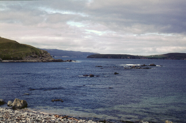
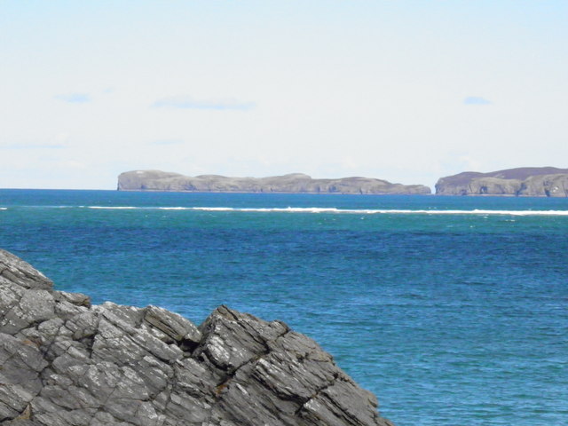
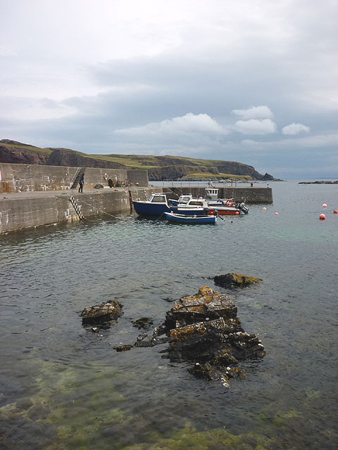
Rubha Geal is a prominent coastal feature located in the county of Sutherland, in the northernmost region of mainland Scotland. This headland, also known as a point, is situated on the rugged and picturesque coastline of the North Atlantic Ocean.

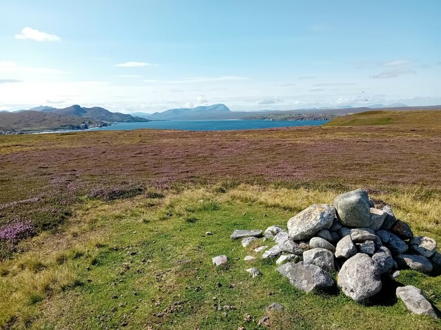
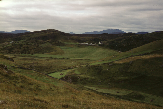
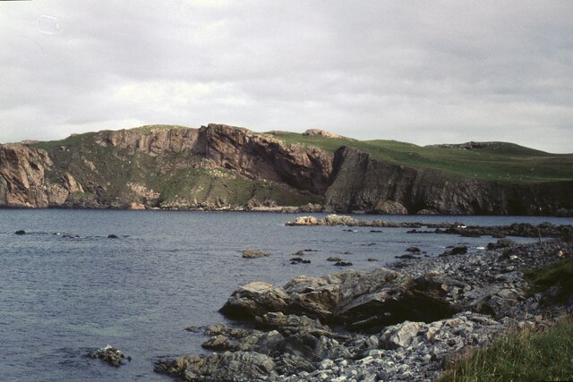
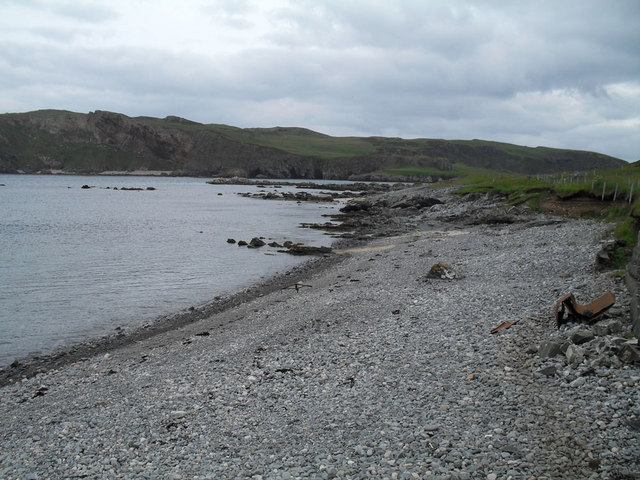
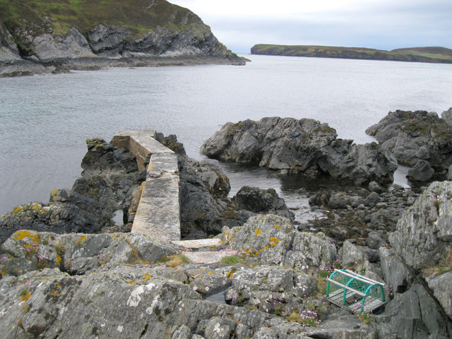
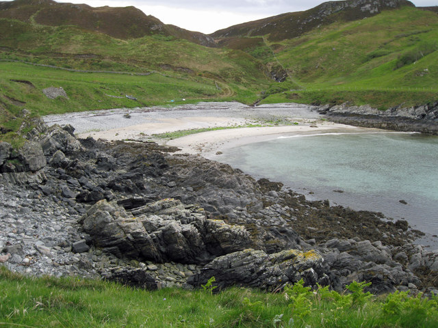
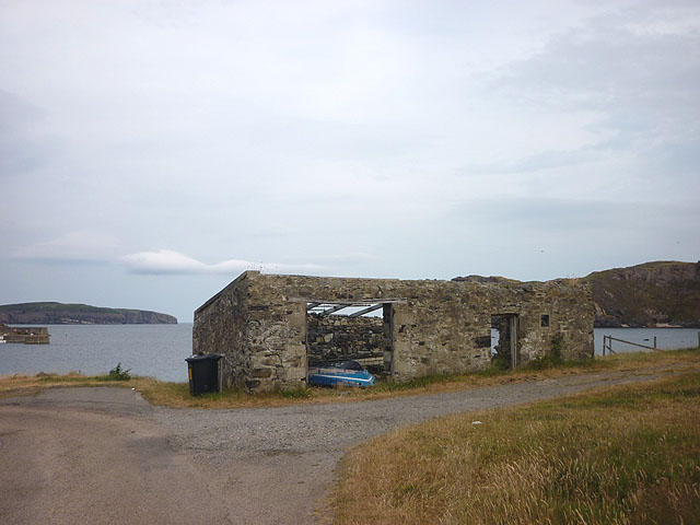
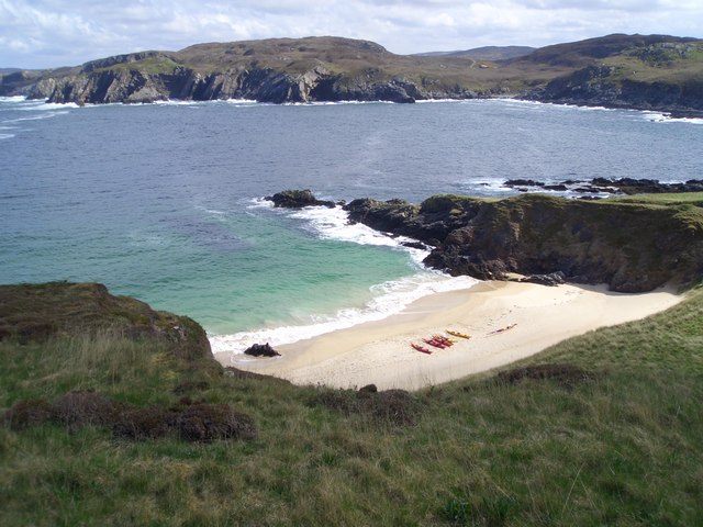
Rubha Geal is characterized by its dramatic cliffs that rise abruptly from the sea, offering stunning panoramic views of the surrounding landscape. The headland is composed of rugged rocks and is covered in hardy vegetation, such as grasses and heather, which add to its natural beauty. The cliffs of Rubha Geal also provide nesting sites for a variety of seabirds, including razorbills, guillemots, and puffins, making it an important habitat for these species.

The name "Rubha Geal" translates to "white point" in English, which may refer to the appearance of the cliffs or the presence of white markings on the rocks. The headland is accessible to visitors via a coastal path that winds its way along the cliff tops, providing an opportunity for hikers and nature enthusiasts to explore this breathtaking area.

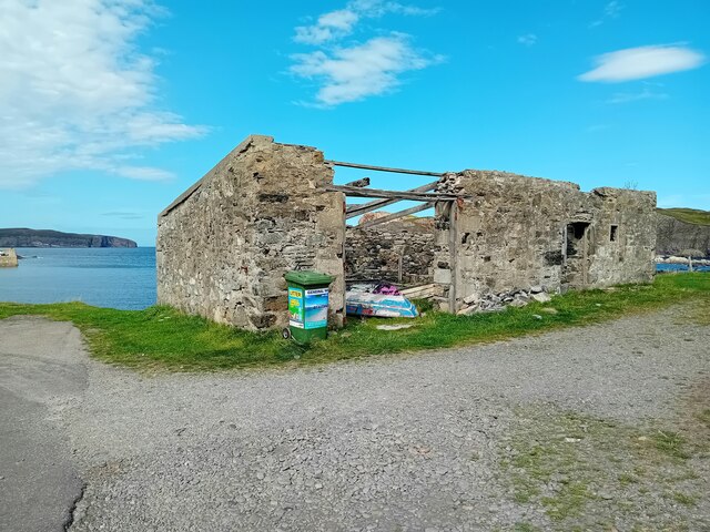
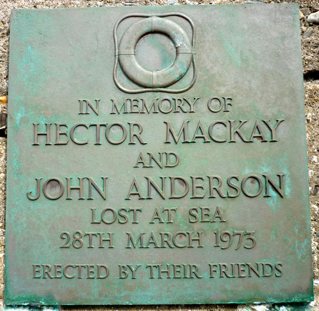
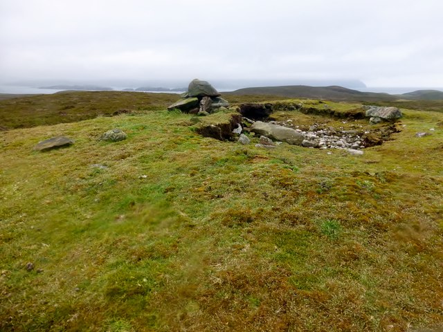
Apart from its natural beauty, Rubha Geal also holds historical significance. In the vicinity of the headland, there are remnants of ancient settlements and structures, including burial cairns and standing stones. These archaeological sites offer insight into the rich history of the area and provide a glimpse into the lives of the people who once inhabited this rugged coastline.

Overall, Rubha Geal is a captivating coastal feature that showcases the raw beauty of the Scottish Highlands. Its towering cliffs, diverse wildlife, and historical significance make it a must-visit destination for those seeking to immerse themselves in the natural and cultural heritage of Sutherland.

If you have any feedback on the listing, please let us know in the comments section below.

Rubha Geal Images

Images are sourced within 2km of 58.540918/-4.3279749 or Grid Reference NC6463. Thanks to Geograph Open Source API. All images are credited.

Trig Point Trig point on Eilean nan Ron.
Trig Point
Trig point on Eilean nan Ron.
On Island Roan The Kyle of Tongue beyond.
On Island Roan
The Kyle of Tongue beyond.
Old Store, Skerray The ruin of the old store at Skerray.
Old Store, Skerray
The ruin of the old store at Skerray.
Loch Modsarie
Loch Modsarie
Eilean nan Ron from Bagh Challbacaidh (Coldbackie) The largest of the islands in Tongue Bay. The narrow channel between it and its smaller neighbour, Eilean Iosal, on the left is clearly seen.
Eilean nan Ron from Bagh Challbacaidh (Coldbackie)
The largest of the islands in Tongue Bay. The narrow channel between it and its smaller neighbour, Eilean Iosal, on the left is clearly seen.
The hamlet of Skerray Looking south-south-west towards Ben Loyal.
The hamlet of Skerray
Looking south-south-west towards Ben Loyal.
Skerray Bay Not a bay I would be very happy to navigate into (although there is, or was, a pier on the far side, just out of shot on the left).

The southern part of Eilean nan Ron is beyond the bay, with a few deserted houses visible.
Skerray Bay
Not a bay I would be very happy to navigate into (although there is, or was, a pier on the far side, just out of shot on the left). The southern part of Eilean nan Ron is beyond the bay, with a few deserted houses visible.
Neave or Coomb Island The central part of the island seen at close range (but still across a gridline!) across Caol Beag.
Neave or Coomb Island
The central part of the island seen at close range (but still across a gridline!) across Caol Beag.
Phonebox near Skerray
Stony beach at Skerray
Old jetty in Lamigo Bay The relatively new creel on the rocks indicates that the jetty is still in use, although no boat was visible at this time.
Old jetty in Lamigo Bay
The relatively new creel on the rocks indicates that the jetty is still in use, although no boat was visible at this time.
Lamigo Bay This deserted sandy beach lies at the head of Lamigo Bay.
Lamigo Bay
This deserted sandy beach lies at the head of Lamigo Bay.
Eilean nan Ron
Eilean nan Ron
Pier at Skerray Harbour Neave (or Coombe) Island beyond across Caol Beag.
Pier at Skerray Harbour
Neave (or Coombe) Island beyond across Caol Beag.
Roofless building, Skerray Bay Eilan nan Ron (left) and Neave (Coombe) Island off shore.
Roofless building, Skerray Bay
Eilan nan Ron (left) and Neave (Coombe) Island off shore.
Memorial plaque, Skerray Pier 'In memory of Hector Mackay and John Anderson lost at sea 28th March 1973. Erected by their friends'.
Memorial plaque, Skerray Pier
'In memory of Hector Mackay and John Anderson lost at sea 28th March 1973. Erected by their friends'.
Cnoc na Caillich Bagged on a boat trip with 8 other island TuMP baggers on a grey morning. We all bagged the trig first then celebrated Adrian's 2,000th TuMP here with malt and two cakes.
Name: Cnoc na Caillich
Hill number: 10033
Height: 76m / 249ft
Parent (Ma/M): none
Area: 16C: Tongue to Wick and Helmsdale
Class: 0
Grid ref: NC644655 (est)
Drop: 76m
Col: Sea
Cnoc na Caillich
Bagged on a boat trip with 8 other island TuMP baggers on a grey morning. We all bagged the trig first then celebrated Adrian's 2,000th TuMP here with malt and two cakes. Name: Cnoc na Caillich Hill number: 10033 Height: 76m / 249ft Parent (Ma/M): none Area: 16C: Tongue to Wick and Helmsdale Class: 0 Grid ref: NC644655 (est) Drop: 76m Col: Sea
Eilean Nan Ron Trig Point Bagged with 8 fellow island and TuMP baggers before celebrating Adrian Rayner's 2,000th TuMP on Cnoc Na Caillich.
Eilean Nan Ron Trig Point
Bagged with 8 fellow island and TuMP baggers before celebrating Adrian Rayner's 2,000th TuMP on Cnoc Na Caillich.
Show me another place!

Rubha Geal is located at Grid Ref: NC6463 (Lat: 58.540918, Lng: -4.3279749)

Unitary Authority: Highland

Police Authority: Highlands and Islands

What 3 Words

///harshest.width.optimists. Near Altnaharra, Highland

Related Wikis

Skerray Bay

Skerray Bay is an arm of the Atlantic Ocean, located on the north coast of Sutherland, Highland, Scotland. Small and rocky, it is situated to the north...

Skerray

Skerray (Scottish Gaelic: Sgeirea) is a remote small crofting hamlet and fishing port on the north coast of Sutherland, Scotland. It is located 7+3⁄4 miles...

Neave Island

Neave Island (Scottish Gaelic: Eilean na Naoimh, "Isle of the Saint") or Coomb(e) Island is an island on the north coast of the Scottish mainland. Neave...

Eilean nan Ròn

Eilean nan Ròn (Scottish Gaelic: island of the seals) is an island near Skerray, in the north of Sutherland, Scotland. An estimated 350 seal pups are born...

Nearby Amenities

Located within 500m of 58.540918,-4.3279749
Source: PGS
Lat/Long: 58.5404717/-4.3242899
Source: PGS
Lat/Long: 58.540783/-4.3245044
Source: PGS
Lat/Long: 58.5406344/-4.3251842
Source: PGS
Lat/Long: 58.5409968/-4.3255268
Source: PGS
Lat/Long: 58.5410012/-4.3259211
Created By: almien_coastlines
Source: PGS
Lat/Long: 58.541132/-4.326219
Source: PGS
Lat/Long: 58.5413946/-4.3268253
Created By: almien_coastlines
Source: PGS
Lat/Long: 58.541621/-4.32844
Created By: almien_coastlines
Source: PGS
Lat/Long: 58.542132/-4.328459
Source: PGS
Lat/Long: 58.5421228/-4.3290478
Source: PGS
Lat/Long: 58.541709/-4.3300303
Source: PGS
Lat/Long: 58.5421616/-4.3297246
Source: PGS
Lat/Long: 58.5423134/-4.3301503
Source: PGS
Lat/Long: 58.542074/-4.330527
Source: PGS
Lat/Long: 58.5422465/-4.3310357
Created By: almien_coastlines
Source: PGS
Lat/Long: 58.541593/-4.331133
Created By: almien_coastlines
Source: PGS
Lat/Long: 58.54082/-4.331593
Created By: almien_coastlines
Source: PGS
Lat/Long: 58.540564/-4.331583
Created By: almien_coastlines
Source: PGS
Lat/Long: 58.540057/-4.331075
Created By: almien_coastlines
Source: PGS
Lat/Long: 58.539801/-4.331065
Created By: almien_coastlines
Source: PGS
Lat/Long: 58.539546/-4.331055
Created By: almien_coastlines
Source: PGS
Lat/Long: 58.53929/-4.331046
Source: PGS
Lat/Long: 58.5389043/-4.3310932
Source: PGS
Lat/Long: 58.5385782/-4.3309097
Source: PGS
Lat/Long: 58.5393852/-4.331502
Source: PGS
Lat/Long: 58.5392422/-4.3324075
Created By: almien_coastlines
Source: PGS
Lat/Long: 58.539006/-4.333727
Created By: almien_coastlines
Source: PGS
Lat/Long: 58.53952/-4.333502
Created By: almien_coastlines
Source: PGS
Lat/Long: 58.539776/-4.333512
Source: PGS
Lat/Long: 58.5403346/-4.3341812
Source: PGS
Lat/Long: 58.5405932/-4.334343
Created By: almien_coastlines
Source: PGS
Lat/Long: 58.540782/-4.335263
Source: PGS
Lat/Long: 58.5412298/-4.3351901
Strathan Skerray
Place: hamlet
Lat/Long: 58.5383588/-4.3314613
Poer an t-Strathan
Natural: bay
Lat/Long: 58.5401219/-4.3325411
The data included in this document is from www.openstreetmap.org. The data is made available under ODbL.

Have you been to Rubha Geal?

Leave your review of Rubha Geal below (or comments, questions and feedback).