Babbacombe Mouth
Sea, Estuary, Creek in Devon Torridge
England
Babbacombe Mouth
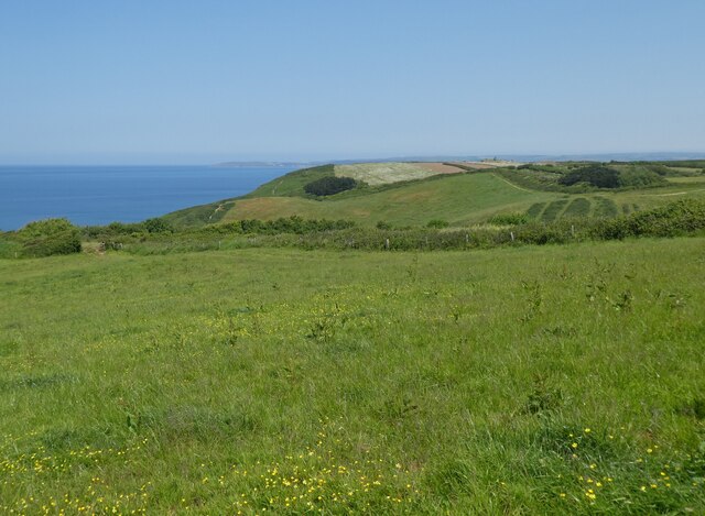
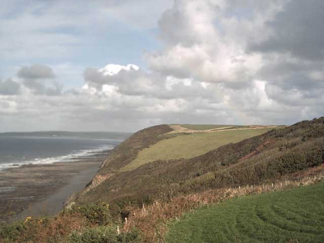
Babbacombe Mouth is a picturesque coastal area located in Devon, England. It is situated at the mouth of a small creek, which opens up into the English Channel. The area is known for its stunning natural beauty and tranquil surroundings.
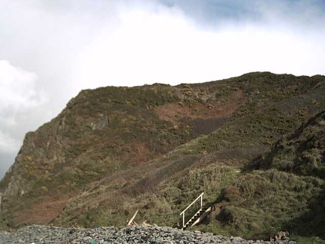
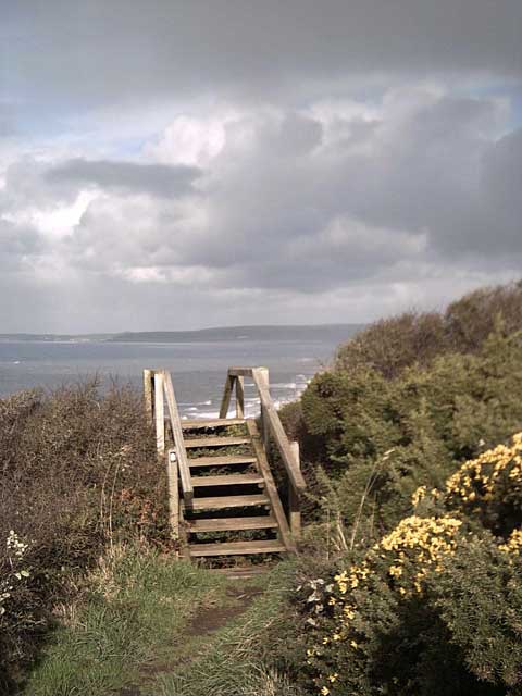
The mouth of the creek is flanked by towering cliffs on both sides, creating a dramatic backdrop against the sparkling blue waters. The beach at Babbacombe Mouth is a mixture of sand and pebbles, providing a peaceful spot for visitors to relax and enjoy the views. The gentle waves of the sea lapping against the shore add to the serene atmosphere of the area.
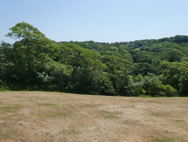
The creek at Babbacombe Mouth is home to a variety of wildlife, including various species of birds and marine life. It is a popular spot for birdwatchers, who can observe a range of seabirds and wading birds in their natural habitat. The surrounding cliffs also provide nesting sites for some bird species.
For those who enjoy water activities, Babbacombe Mouth offers opportunities for swimming, kayaking, and paddleboarding. The calm waters of the estuary are perfect for beginners and families, providing a safe and enjoyable experience.
The area around Babbacombe Mouth is also rich in history, with remnants of ancient settlements and structures found nearby. Visitors can explore the historic ruins and learn about the area's past while taking in the breathtaking views.
Overall, Babbacombe Mouth is a hidden gem along the Devon coastline, offering a peaceful escape and an opportunity to connect with nature.
If you have any feedback on the listing, please let us know in the comments section below.
Babbacombe Mouth Images
Images are sourced within 2km of 51.008984/-4.2911869 or Grid Reference SS3925. Thanks to Geograph Open Source API. All images are credited.


Babbacombe Mouth is located at Grid Ref: SS3925 (Lat: 51.008984, Lng: -4.2911869)
Administrative County: Devon
District: Torridge
Police Authority: Devon and Cornwall
What 3 Words
///converged.prevents.weekends. Near Bideford, Devon
Nearby Locations
Related Wikis
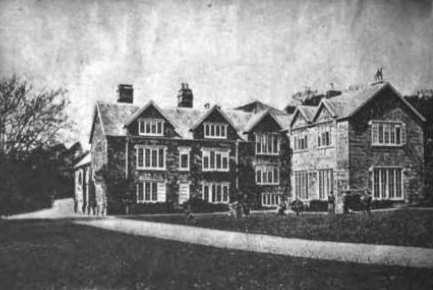
Portledge Manor
Portledge Manor is an English manor house in the parish of Alwington, southwest of Bideford, Devon. It and the land surrounding it belonged to the Coffin...

Alwington
Alwington is a village and civil parish in the Torridge district of Devon, England. The parish is on the coast and includes the hamlets of Alwington, Fairy...

Peppercombe
Peppercombe is a small valley (combe) on the north-western coast of Devon, England. It is situated on the South West Coast Path between Westward Ho! to...
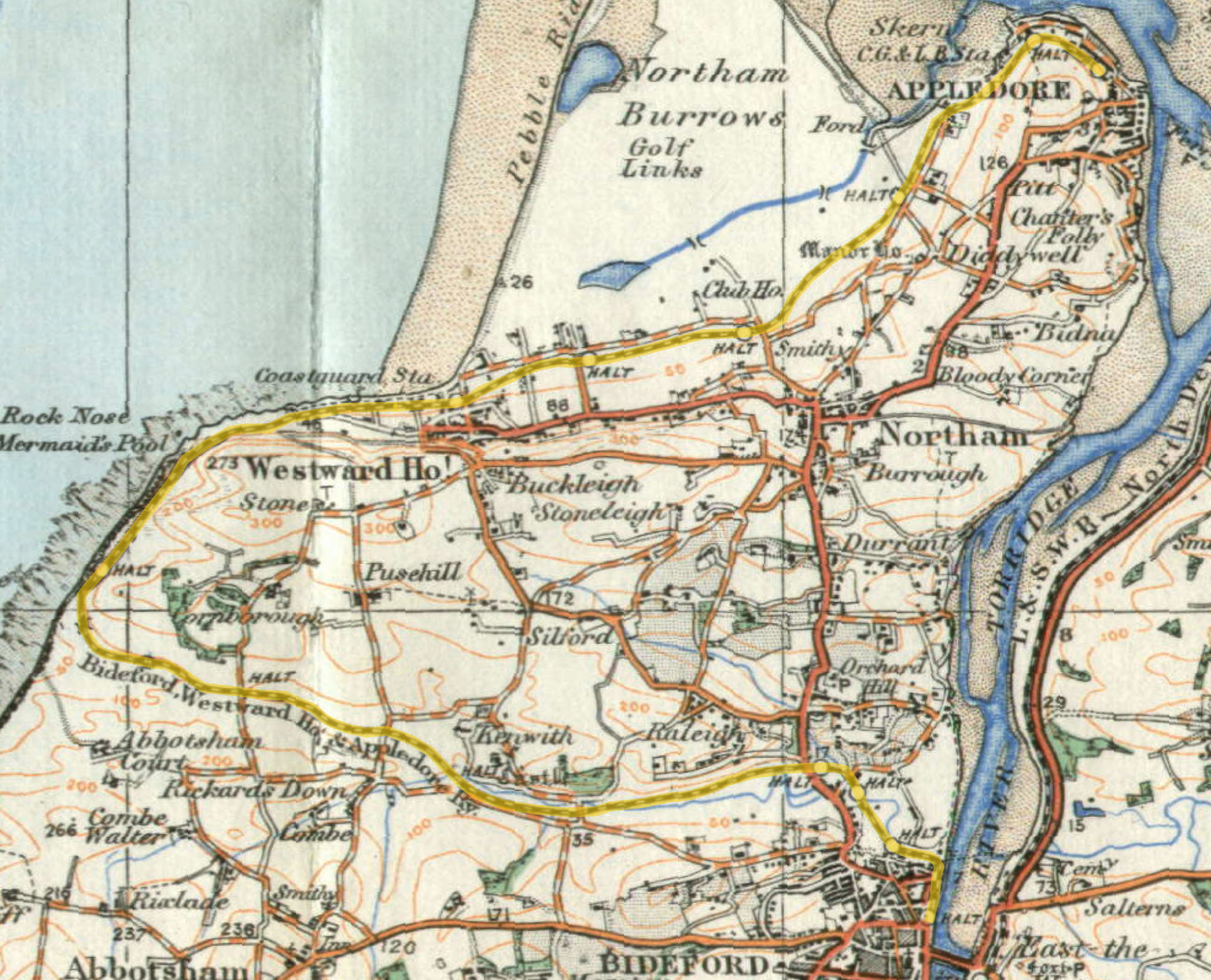
Cornborough railway station
Cornborough railway station was a minor railway station or halt/request stop in north Devon, close to Westward Ho!, serving holiday makers visiting the...
Nearby Amenities
Located within 500m of 51.008984,-4.2911869Have you been to Babbacombe Mouth?
Leave your review of Babbacombe Mouth below (or comments, questions and feedback).