Lochan Havurn

Sea, Estuary, Creek in Sutherland

Scotland

Lochan Havurn

Forest at Polla
Forest at Polla Credit: Alan Reid

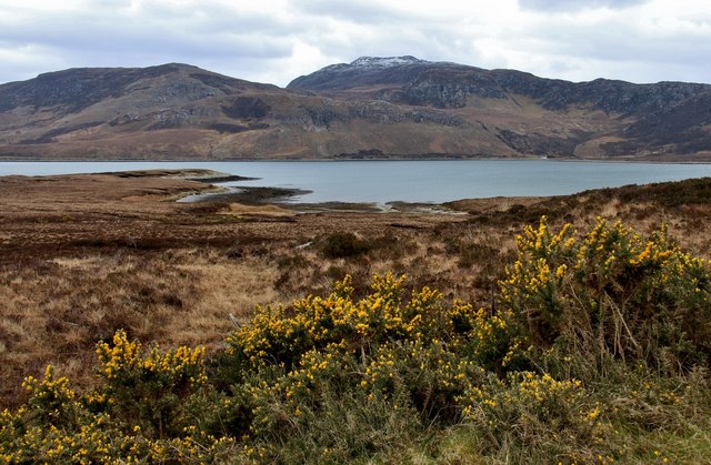
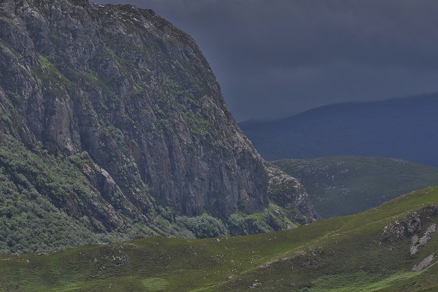
Lochan Havurn is a picturesque body of water located in the remote and scenic area of Sutherland, Scotland. Nestled amidst rolling hills and breathtaking landscapes, this natural feature is a unique combination of a sea, estuary, and creek.

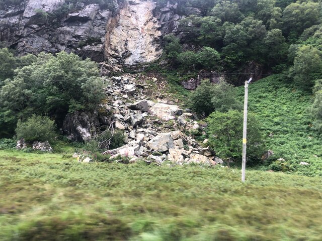
Covering an area of approximately 10 hectares, Lochan Havurn boasts crystal-clear waters that reflect the surrounding lush vegetation and rocky outcrops. It is situated just a few kilometers away from the North Sea, allowing for a constant ebb and flow of tides that create an ever-changing environment. During high tide, the lochan fills with seawater, creating a small estuary where various species of marine life thrive. At low tide, the water recedes, revealing a rocky creek bed that winds its way through the landscape.

The lochan is a haven for wildlife enthusiasts, offering a diverse range of flora and fauna. Birdwatchers can spot a variety of waterfowl, including herons, ducks, and geese, while the surrounding woodland provides a habitat for woodland birds such as thrushes and warblers. Otters and seals are also known to frequent the area, adding to the natural beauty and allure of Lochan Havurn.

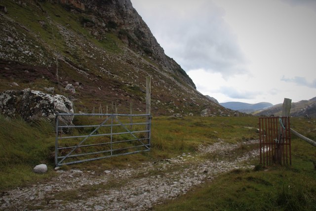
Access to Lochan Havurn is relatively limited, as it is located in a remote part of Sutherland. However, for those willing to make the journey, the tranquility and untouched beauty of this lochan make it a worthwhile destination for nature lovers and those seeking a peaceful retreat.

If you have any feedback on the listing, please let us know in the comments section below.

Lochan Havurn Images

Images are sourced within 2km of 58.446985/-4.7497749 or Grid Reference NC3954. Thanks to Geograph Open Source API. All images are credited.

Forest at Polla
Forest at Polla
Southern end of Loch Eriboll The mountains on the sky line are Foinaven.
Southern end of Loch Eriboll
The mountains on the sky line are Foinaven.
Unnamed loch at the southern end of Loch Eriboll on a wet day
Rockfall near the A838 At the base of Creag na Faoilinn
Rockfall near the A838
At the base of Creag na Faoilinn
Unnamed lochan near Polla
Lochan with no name At the southern end of Loch Eriboll
Lochan with no name
At the southern end of Loch Eriboll
Conifer plantation near Polla
Road around the head of Loch Eriboll The A832 crossing the flat ground near the head of the loch. Extensive conifer plantations on the hillside ahead, which extends ever upwards towards the summit ridge of Beinn Spionnaidh.
Road around the head of Loch Eriboll
The A832 crossing the flat ground near the head of the loch. Extensive conifer plantations on the hillside ahead, which extends ever upwards towards the summit ridge of Beinn Spionnaidh.
Early days at the Polla salmon fish farm Situated on the western banks of the river Polla we see a trio of the staff doing their daily search for "morts" or dead fish. The Polla runs into the Loch Eriboll.
Early days at the Polla salmon fish farm
Situated on the western banks of the river Polla we see a trio of the staff doing their daily search for "morts" or dead fish. The Polla runs into the Loch Eriboll.
Improved culvert on the Loch Erribol road Recent flooding prompted some urgent action.
Improved culvert on the Loch Erribol road
Recent flooding prompted some urgent action.
Rubh' Armli and Upper Roadstead A rather odd name for a small bay on Loch Erribol behind Armli Point.
Rubh' Armli and Upper Roadstead
A rather odd name for a small bay on Loch Erribol behind Armli Point.
Rough road to Polla Snow dusted Cranstackie on the skyline.
Rough road to Polla
Snow dusted Cranstackie on the skyline.
Amhainn an t-Stratha Bhig at Loch Eriboll
At the southern end of Loch Eriboll
Creag na Faoilinn
Creag na Faoilinn
Forest Fence above Polla This fence marks the S end of the plantation. There were no fences preventing access to the hill from the track. Polla is no longer a fish farm and seems much more open now. The ground in this area was very boggy.
Forest Fence above Polla
This fence marks the S end of the plantation. There were no fences preventing access to the hill from the track. Polla is no longer a fish farm and seems much more open now. The ground in this area was very boggy.
Track to Strabeg under Creag na Faoilinn
Track from Strabeg under Creag na Faoilinn
Show me another place!

Lochan Havurn is located at Grid Ref: NC3954 (Lat: 58.446985, Lng: -4.7497749)

Unitary Authority: Highland

Police Authority: Highlands and Islands

What 3 Words

///saunas.spike.triangles. Near Oldshoremore, Highland

Nearby Locations

Lochan Havurn

Related Wikis

Eriboll

Eriboll (Scottish Gaelic: Earabol) is a village in Sutherland, Scotland. The village is situated on the south eastern shore of Loch Eriboll, in the northern...

Eilean Choraidh

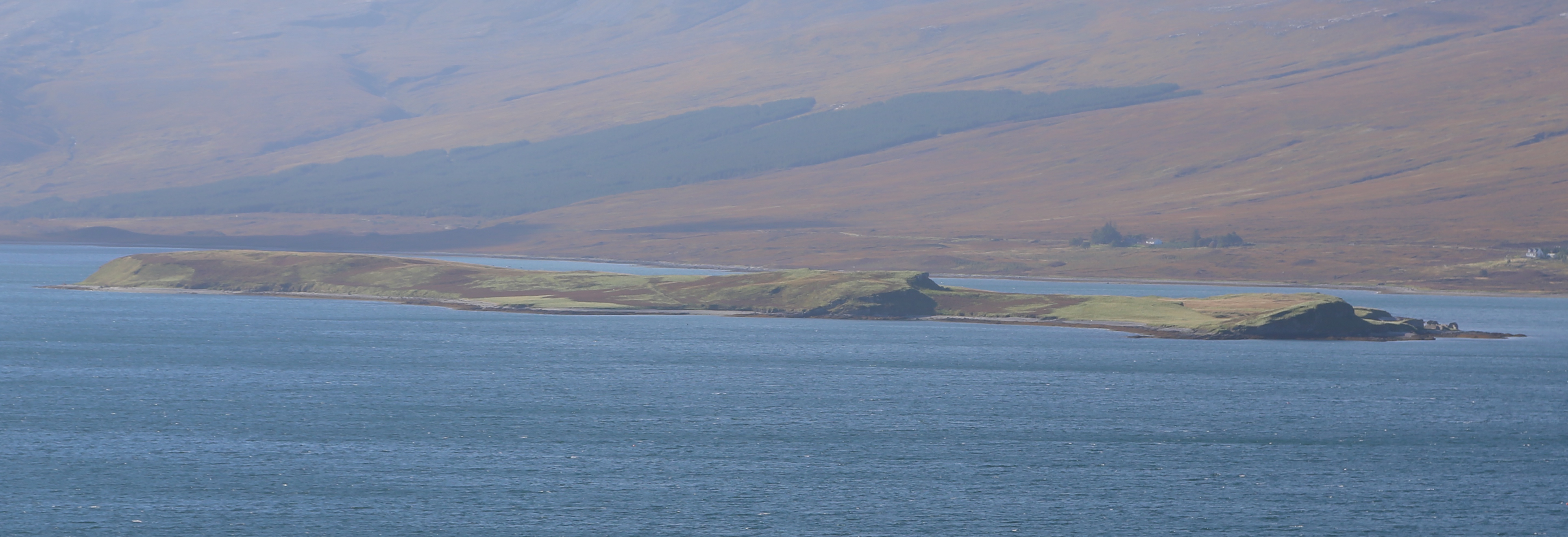
Eilean Choraidh, also known as Horse Island is an island in Loch Eriboll in Sutherland on the north coast of Scotland. It is about 26 hectares (64 acres...

Beinn Spionnaidh

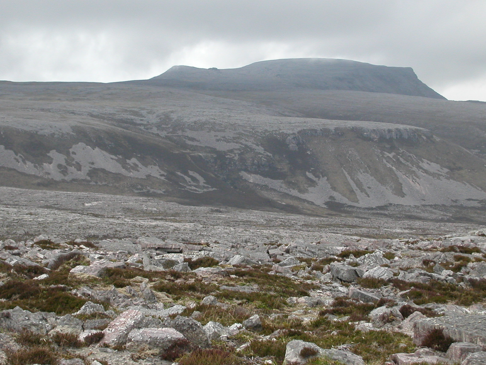
Beinn Spionnaidh is a mountain of 773 m in Sutherland, the northwestern tip of the Scottish Highlands. It is a Corbett located west of Loch Eriboll and...

Cranstackie

Cranstackie is a mountain of 802 metres (2,631 ft) in Sutherland, the northwestern tip of the Scottish Highlands. It is a Corbett located west of Loch...

Nearby Amenities

Located within 500m of 58.446985,-4.7497749
Power: pole
Lat/Long: 58.4450888/-4.7424345
Material: wood
Power: pole
Lat/Long: 58.4447669/-4.7436376
Material: wood
Power: pole
Lat/Long: 58.4446395/-4.7452534
Material: wood
Power: pole
Lat/Long: 58.4445417/-4.7465187
Material: wood
Power: pole
Lat/Long: 58.4444245/-4.7479321
Material: wood
Power: pole
Lat/Long: 58.4442279/-4.7494466
Material: wood
Power: pole
Lat/Long: 58.444041/-4.7507607
Material: wood
Power: pole
Lat/Long: 58.4438678/-4.7520728
Power: pole
Lat/Long: 58.4436671/-4.753599
Power: pole
Lat/Long: 58.4440298/-4.7542511
Material: wood
Power: pole
Lat/Long: 58.4444852/-4.7551136
Power: pole
Lat/Long: 58.4449518/-4.7559506
Power: pole
Lat/Long: 58.4454795/-4.7569006
Power: pole
Lat/Long: 58.4459975/-4.7578263
The data included in this document is from www.openstreetmap.org. The data is made available under ODbL.

Have you been to Lochan Havurn?

Leave your review of Lochan Havurn below (or comments, questions and feedback).