Babbacombe Cliff
Cliff, Slope in Devon Torridge
England
Babbacombe Cliff
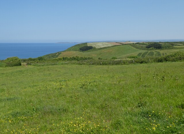
Babbacombe Cliff, located in Devon, England, is a prominent geological feature that stretches along the coast of the English Channel. It is a steep and rugged cliff that offers breathtaking views of the surrounding area. The cliff is formed from a combination of sandstone and limestone, which gives it a unique and picturesque appearance.
Standing at an impressive height, Babbacombe Cliff presents a magnificent sight, attracting visitors from near and far. The cliff face is characterized by its striking layers of rock, displaying the geological history of the region. Over the years, erosion and weathering have sculpted the cliff, resulting in its current jagged and dramatic contours.
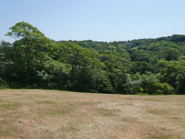
The slopes of Babbacombe Cliff are covered in lush vegetation, adding to its natural charm. The cliff is home to a diverse range of plant and animal species, making it an important ecological site. Various rare and protected species can be found here, including birds, insects, and wildflowers, making it a haven for nature enthusiasts.
In addition to its natural beauty, Babbacombe Cliff also holds historical significance. It has been a popular destination for holidaymakers since the Victorian era, with numerous hotels and tourist attractions nearby. Visitors can enjoy leisurely walks along the cliff top, taking in the panoramic views of the surrounding coastline.
Babbacombe Cliff is not only a geological wonder but also a cherished part of Devon's landscape. Its striking features, rich biodiversity, and historical importance make it a must-visit destination for anyone exploring the region.
If you have any feedback on the listing, please let us know in the comments section below.
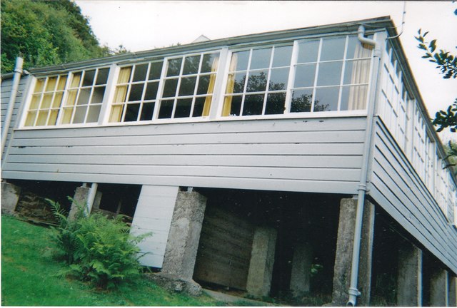
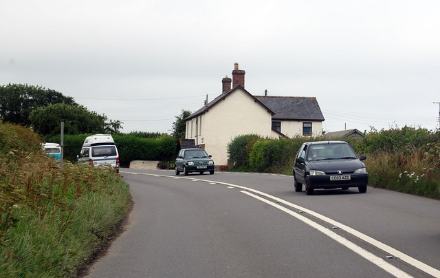
Babbacombe Cliff Images
Images are sourced within 2km of 51.005781/-4.2903163 or Grid Reference SS3925. Thanks to Geograph Open Source API. All images are credited.


Babbacombe Cliff is located at Grid Ref: SS3925 (Lat: 51.005781, Lng: -4.2903163)
Administrative County: Devon
District: Torridge
Police Authority: Devon and Cornwall
What 3 Words
///farmed.trucks.worksheet. Near Bideford, Devon
Nearby Locations
Related Wikis
Portledge Manor
Portledge Manor is an English manor house in the parish of Alwington, southwest of Bideford, Devon. It and the land surrounding it belonged to the Coffin...

Alwington
Alwington is a village and civil parish in the Torridge district of Devon, England. The parish is on the coast and includes the hamlets of Alwington, Fairy...

Peppercombe
Peppercombe is a small valley (combe) on the north-western coast of Devon, England. It is situated on the South West Coast Path between Westward Ho! to...

The Big Sheep
The Big Sheep is an amusement farm park located in Abbotsham, Devon, England. The site was originally Barton Farm, a busy sheep farm owned by six generations...
Nearby Amenities
Located within 500m of 51.005781,-4.2903163Have you been to Babbacombe Cliff?
Leave your review of Babbacombe Cliff below (or comments, questions and feedback).