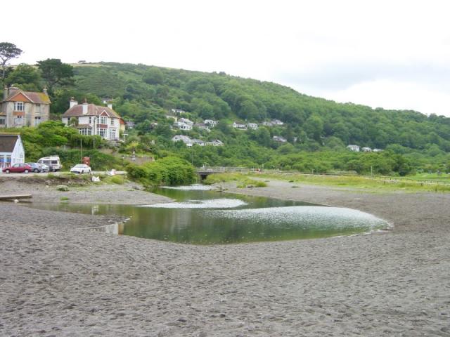
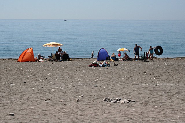
Sand Pool
Sea, Estuary, Creek in Cornwall
England
Sand Pool
The requested URL returned error: 429 Too Many Requests
If you have any feedback on the listing, please let us know in the comments section below.
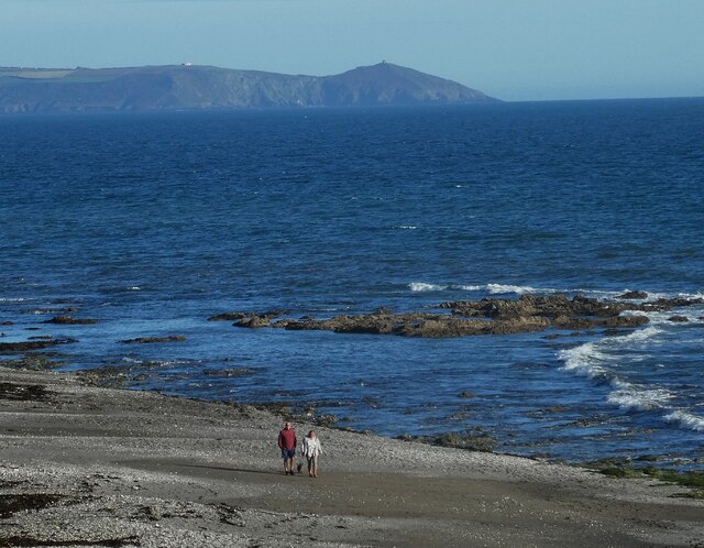
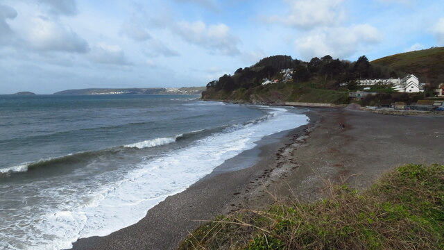
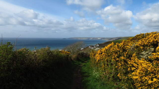
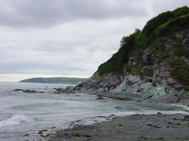
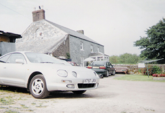
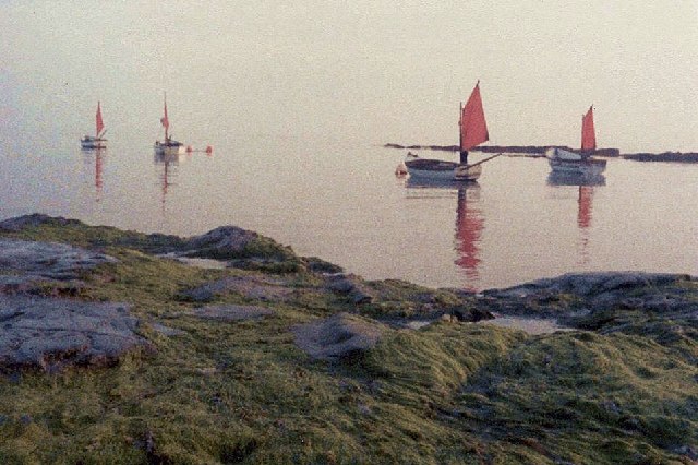
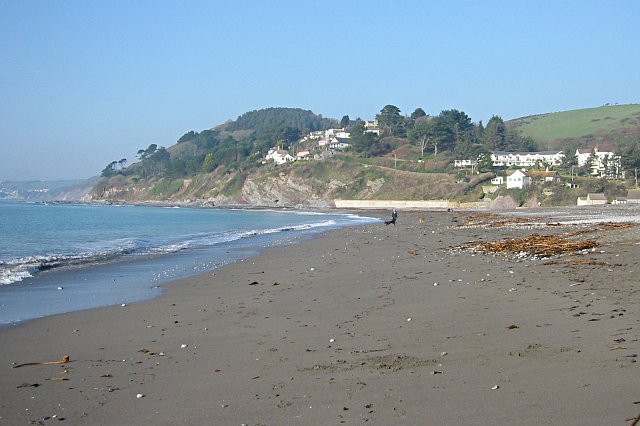
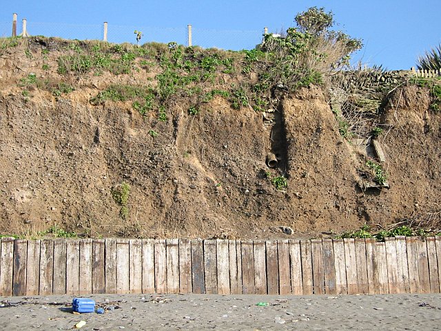
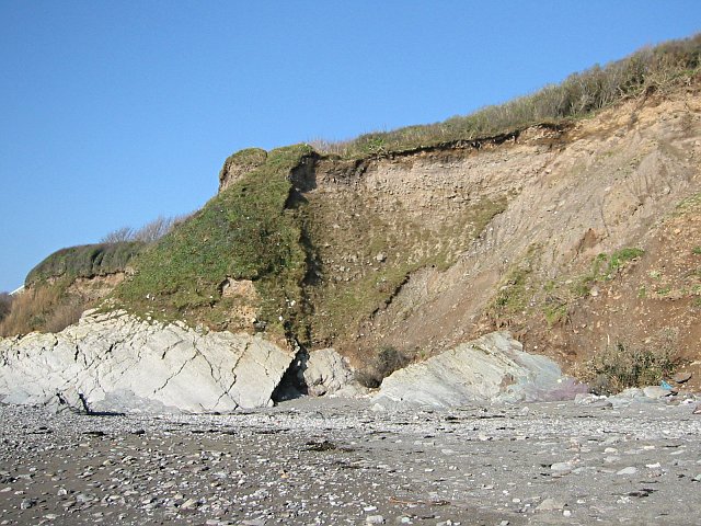
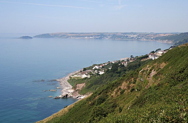
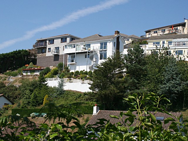
Sand Pool Images
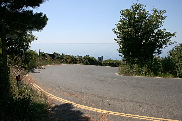
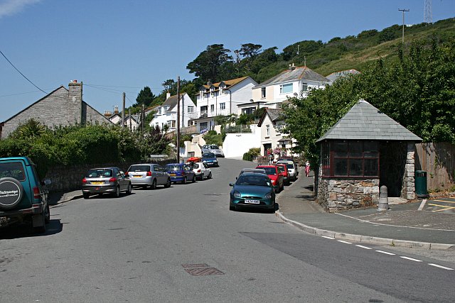
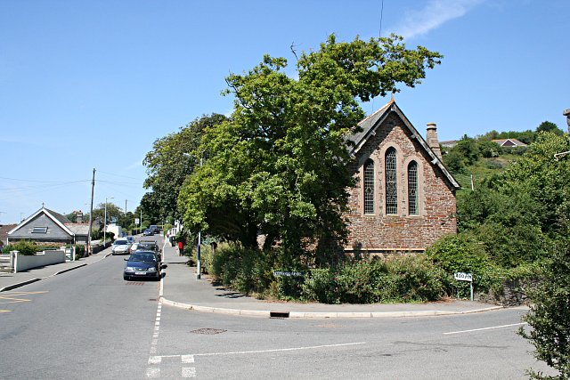
Images are sourced within 2km of 50.360326/-4.3741344 or Grid Reference SX3153. Thanks to Geograph Open Source API. All images are credited.

Sand Pool is located at Grid Ref: SX3153 (Lat: 50.360326, Lng: -4.3741344)
Unitary Authority: Cornwall
Police Authority: Devon and Cornwall
What 3 Words
///reference.pull.beak. Near Looe, Cornwall
Nearby Locations
Related Wikis

Downderry
Downderry (Cornish: Downderri) is a coastal village in southeast Cornwall, England, United Kingdom. It is situated 12 miles (19 km) west of Plymouth and...

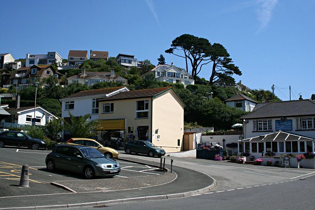
Seaton, Cornwall
Seaton (Cornish: Sethyn, meaning little arrow after the river) is a village on the south coast of Cornwall, England, at the mouth of the River Seaton...
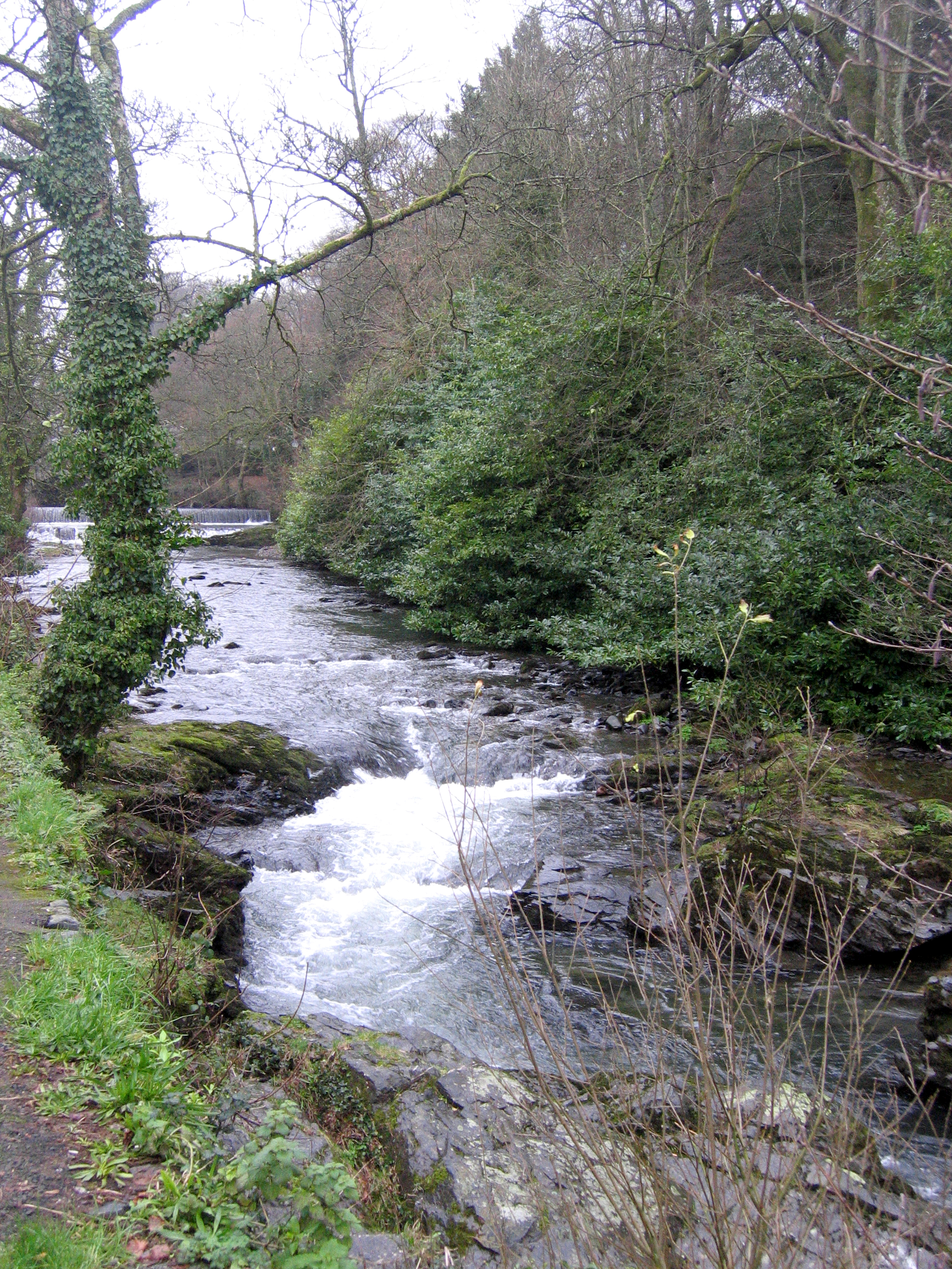
River Seaton
The River Seaton is a river in east Cornwall, England, UK which flows southwards for 11 miles (17 km) into the English Channel. The river rises near Caradon...
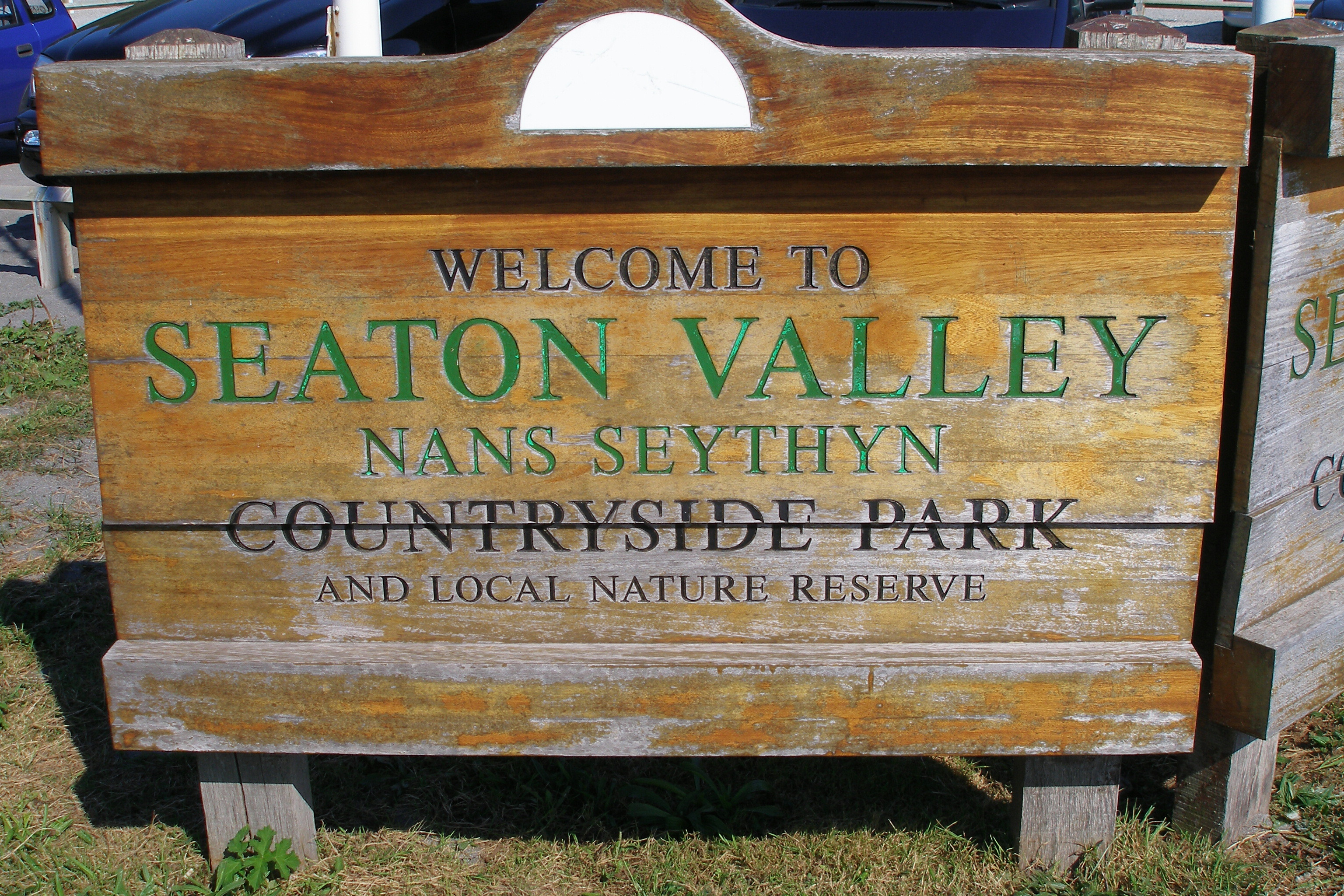
Seaton Valley Countryside Park
Seaton Valley Countryside Park is the newest of Cornwall's four Country Parks. It is situated in the Seaton valley between the villages of Seaton and Hessenford...
Nearby Amenities
Located within 500m of 50.360326,-4.3741344Have you been to Sand Pool?
Leave your review of Sand Pool below (or comments, questions and feedback).