Downderry Beach
Beach in Cornwall
England
Downderry Beach
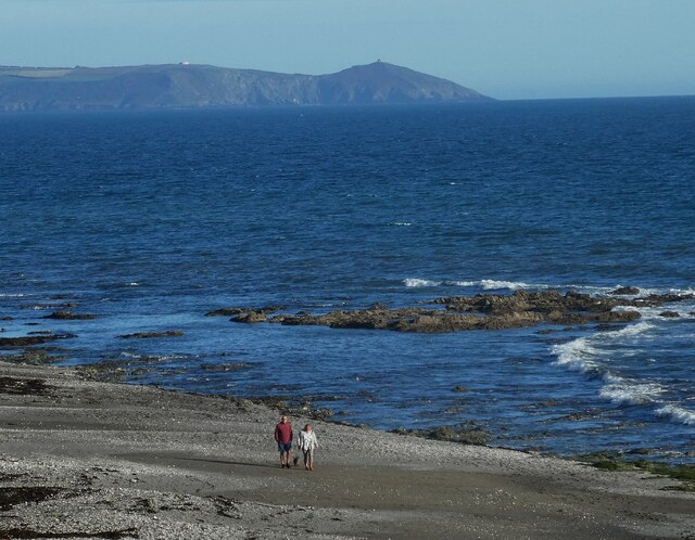
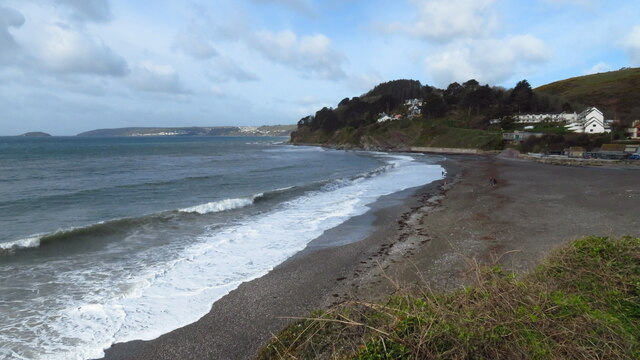
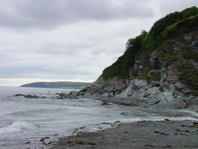
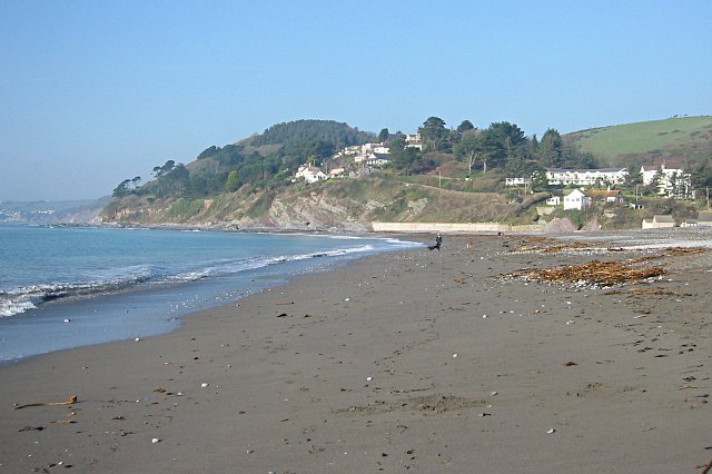
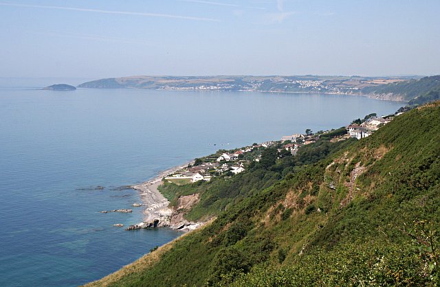
Downderry Beach is a picturesque coastal destination located in Cornwall, England. Situated between the towns of Looe and Seaton, this sandy beach stretches along the southeastern coast of Cornwall, offering visitors a stunning view of the English Channel. Downderry Beach is known for its unspoiled beauty and tranquil atmosphere, making it a popular spot for both locals and tourists.
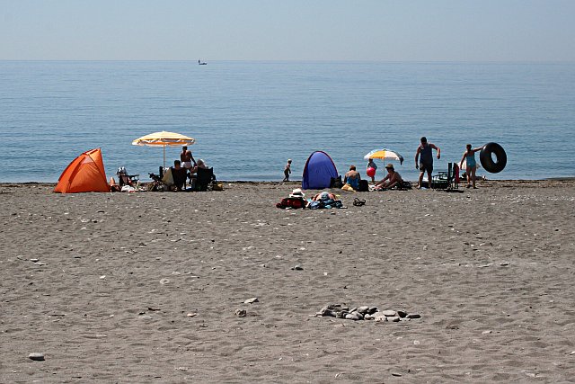
The beach itself boasts a wide expanse of golden sand, perfect for sunbathing, picnicking, and leisurely walks along the shore. At low tide, the beach reveals fascinating rock pools, allowing visitors to explore the area's diverse marine life. The clear waters of Downderry Beach are also ideal for swimming, paddleboarding, and kayaking, providing ample opportunities for water-based activities.
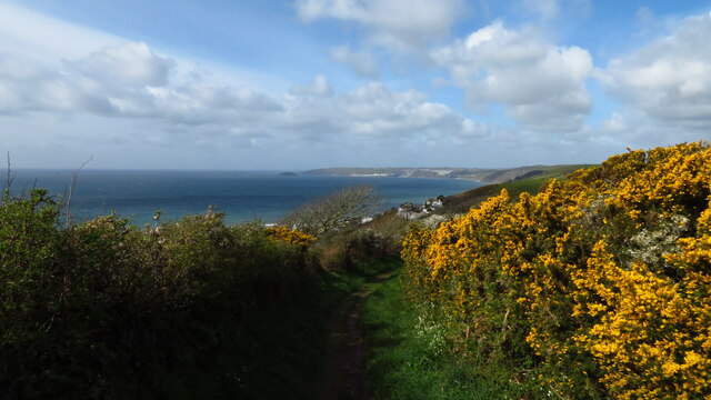
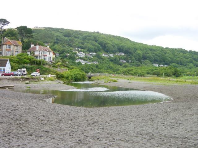
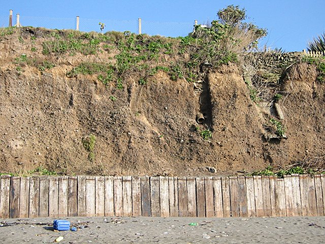
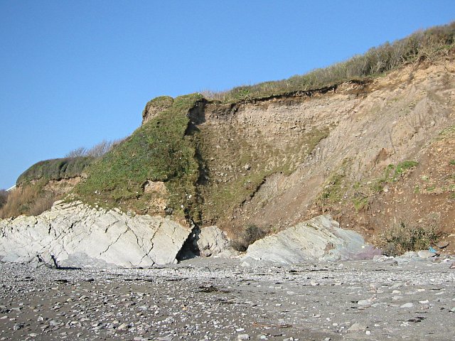
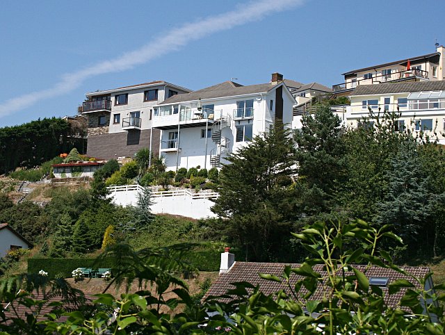
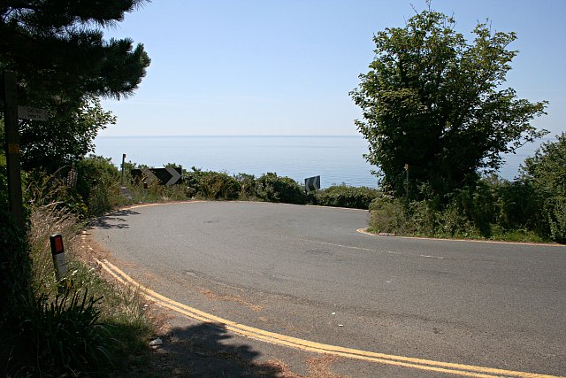
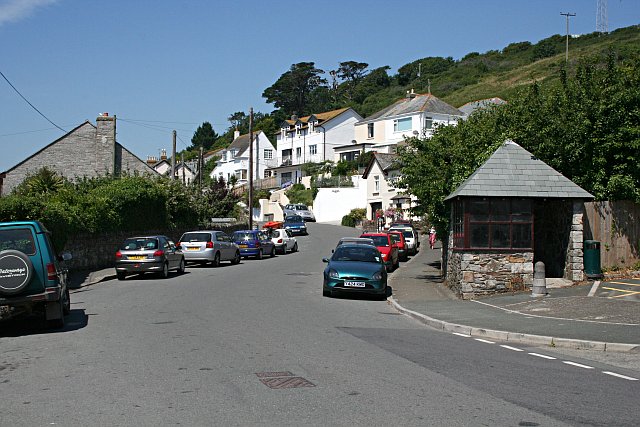
Surrounded by rugged cliffs and verdant hills, Downderry Beach offers breathtaking views of the surrounding natural landscape. The beach is backed by a small village, which provides convenient amenities such as parking, cafes, and public toilets. The village also offers a variety of accommodation options, ranging from charming bed and breakfasts to self-catering cottages, ensuring a comfortable stay for those who wish to explore the area.
Downderry Beach is not only a haven for beach enthusiasts but also a haven for nature lovers. The area is home to a wide range of wildlife, including seabirds, dolphins, and seals, making it a popular spot for birdwatching and wildlife spotting.
Overall, Downderry Beach offers a peaceful and idyllic seaside experience, combining natural beauty, recreational activities, and convenient amenities to create a memorable visit for all who come to enjoy its charms.
If you have any feedback on the listing, please let us know in the comments section below.
Downderry Beach Images
Images are sourced within 2km of 50.361595/-4.3753789 or Grid Reference SX3153. Thanks to Geograph Open Source API. All images are credited.

Downderry Beach is located at Grid Ref: SX3153 (Lat: 50.361595, Lng: -4.3753789)
Unitary Authority: Cornwall
Police Authority: Devon and Cornwall
What 3 Words
///bluffing.matchbox.years. Near Looe, Cornwall
Nearby Locations
Related Wikis

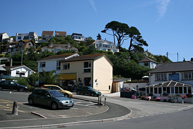
Downderry
Downderry (Cornish: Downderri) is a coastal village in southeast Cornwall, England, United Kingdom. It is situated 12 miles (19 km) west of Plymouth and...

Seaton, Cornwall
Seaton (Cornish: Sethyn, meaning little arrow after the river) is a village on the south coast of Cornwall, England, at the mouth of the River Seaton...
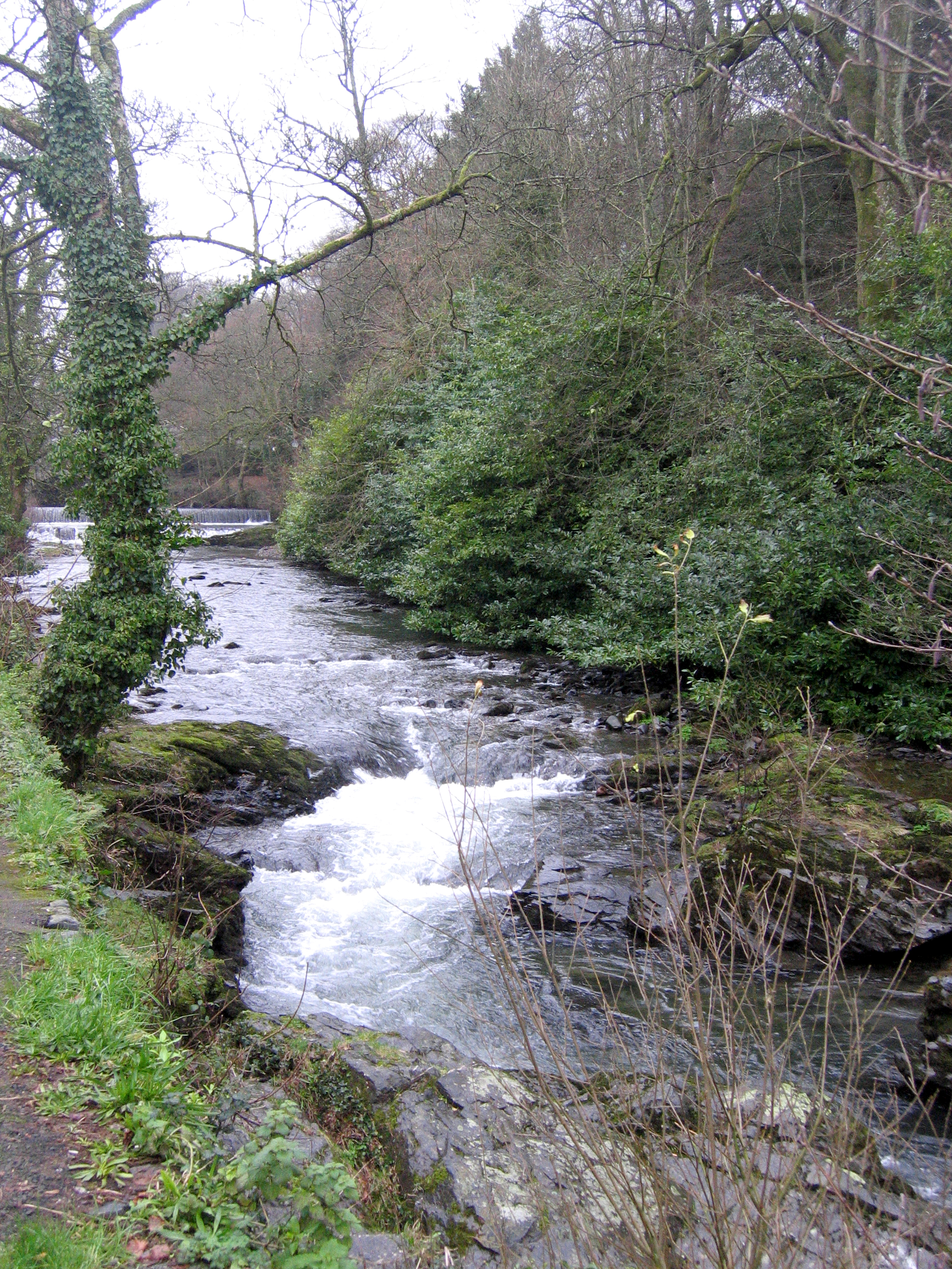
River Seaton
The River Seaton is a river in east Cornwall, England, UK which flows southwards for 11 miles (17 km) into the English Channel. The river rises near Caradon...
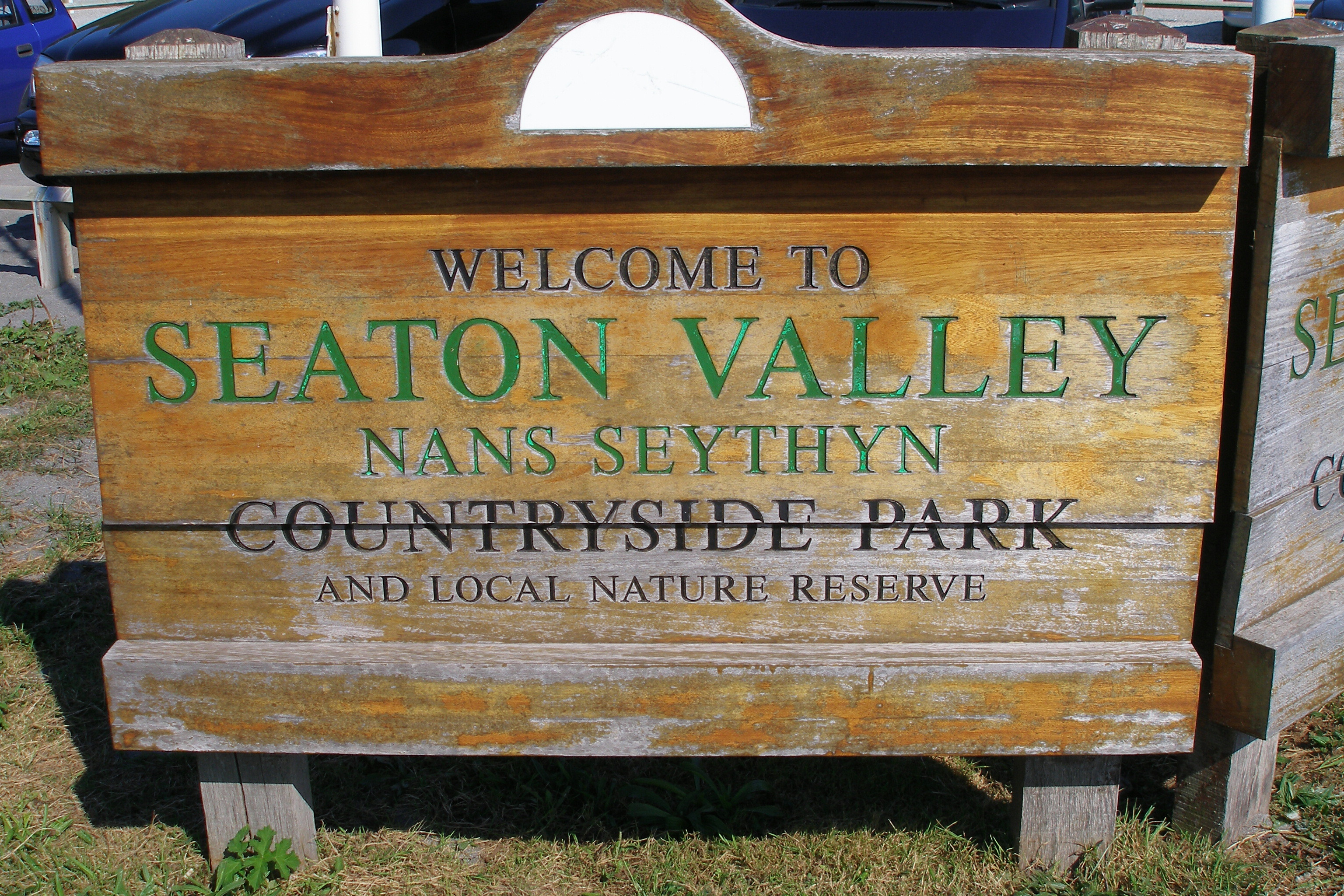
Seaton Valley Countryside Park
Seaton Valley Countryside Park is the newest of Cornwall's four Country Parks. It is situated in the Seaton valley between the villages of Seaton and Hessenford...

Narkurs
Narkurs is a hamlet in the south east of Cornwall, England. It is part of the civil parish of Deviock. It is about 2 km southeast of Hessenford. Historically...

Monkey Sanctuary
The Monkey Sanctuary was founded in 1964 by Len Williams, father of classical guitarist John Williams, as a cooperative to care for rescued woolly monkeys...

Deviock
Deviock is a coastal civil parish in south-east Cornwall, England, United Kingdom. It is situated approximately three miles (5 km) west of St Germans and...

Hessenford
Hessenford (Cornish: Rys an Gwraghes) is a small village in south-east Cornwall, United Kingdom, four miles west of St Germans on the A387 Polbathic to...
Nearby Amenities
Located within 500m of 50.361595,-4.3753789Have you been to Downderry Beach?
Leave your review of Downderry Beach below (or comments, questions and feedback).