Falls of Lora
Sea, Estuary, Creek in Argyllshire
Scotland
Falls of Lora
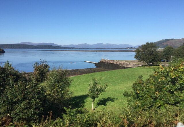
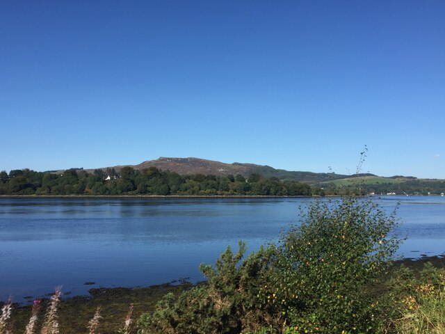
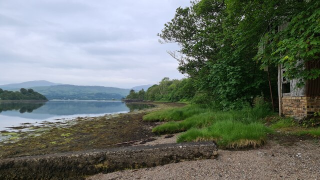
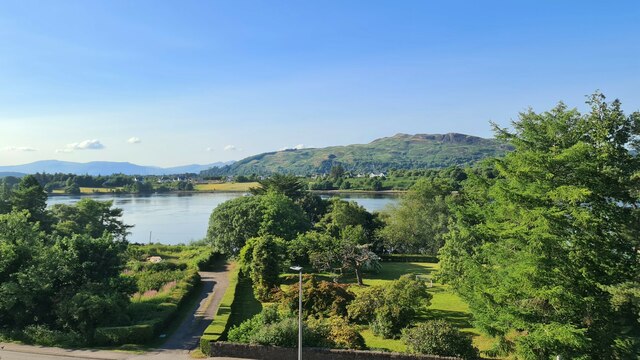
The Falls of Lora, located in Argyllshire, Scotland, is a natural phenomenon that occurs where the sea meets the estuary in the narrow strait of the Firth of Lorn. This unique tidal race is formed by the powerful tidal currents created by the changing tides of the Atlantic Ocean. The tidal range in this area can reach up to 4 meters, resulting in the formation of rapids and whirlpools.
The Falls of Lora are especially notable during certain tidal conditions, particularly during spring tides, when the tidal range is at its greatest. During these times, the rushing waters create an impressive spectacle, with waves crashing against the rocks and fierce currents battling against each other. The water appears to be in a constant state of turmoil as it races through the narrow channel.
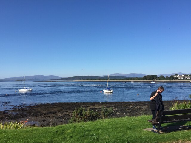
The location of the Falls of Lora also makes it a popular destination for water sports enthusiasts, particularly kayakers and surfers. The powerful currents provide an exhilarating challenge for experienced water sports enthusiasts, while also attracting spectators who gather to witness the impressive display of nature's force.
Moreover, the area surrounding the Falls of Lora is a haven for wildlife. Seals, dolphins, and a variety of seabirds can often be spotted in the vicinity, taking advantage of the abundant marine life brought in by the strong currents.
Overall, the Falls of Lora in Argyllshire is a captivating natural wonder, offering a thrilling spectacle for both nature lovers and adventure seekers alike.
If you have any feedback on the listing, please let us know in the comments section below.
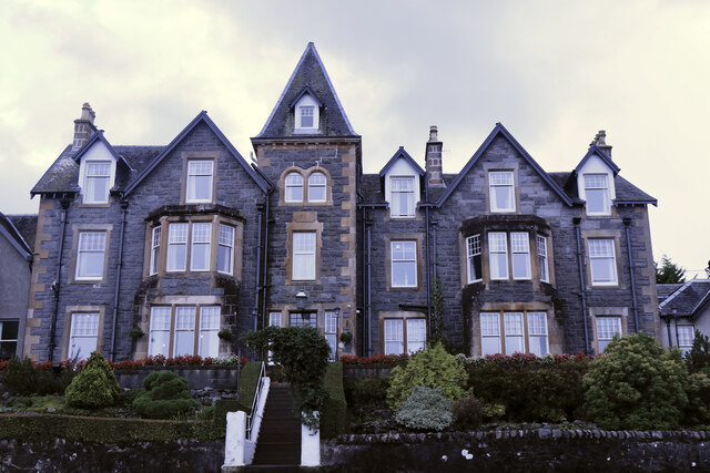
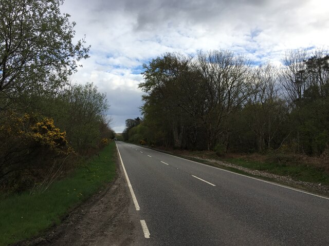
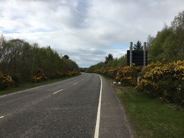
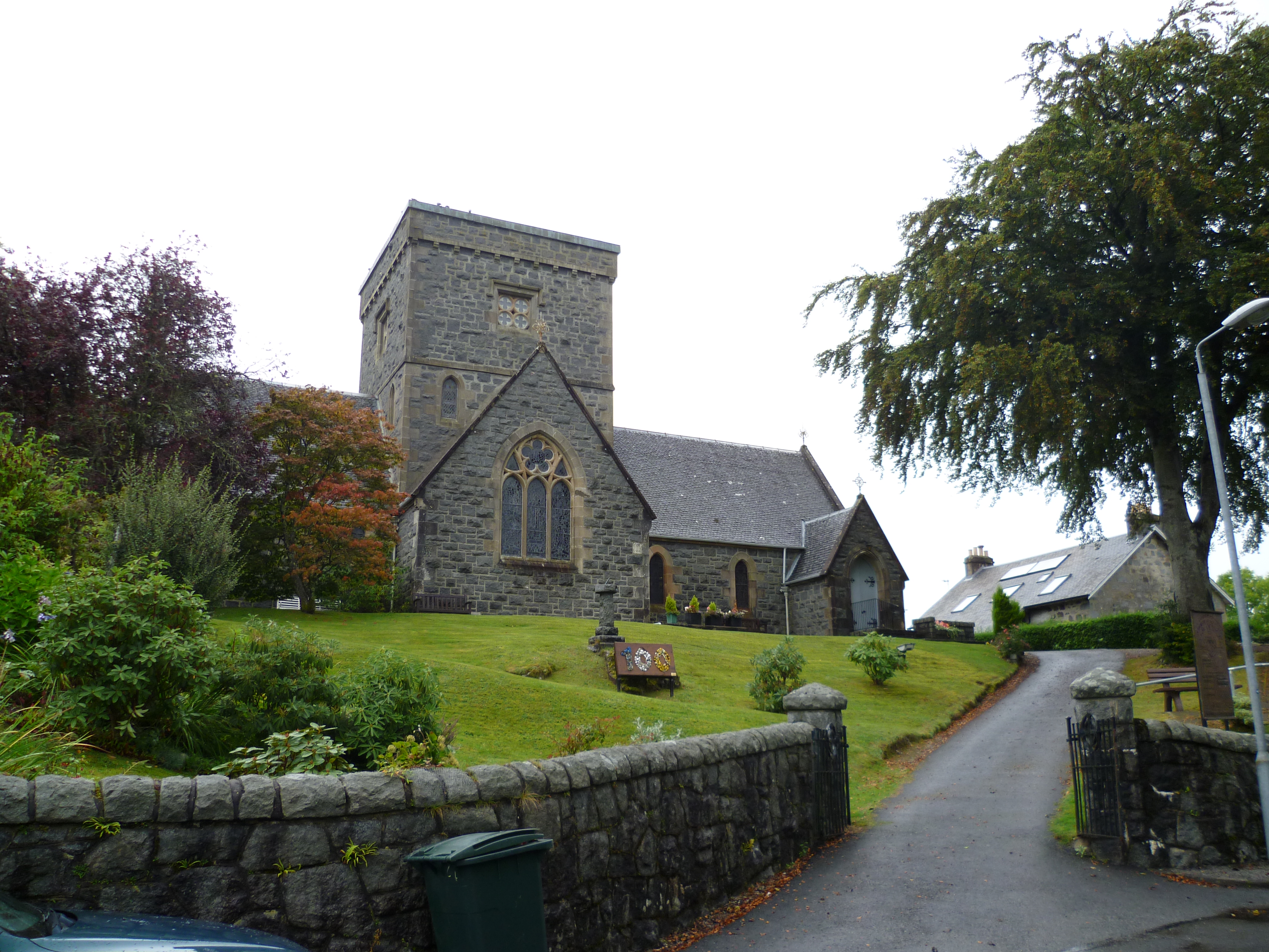
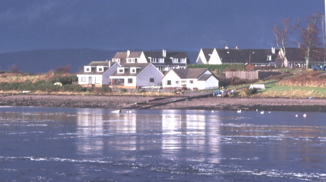
Falls of Lora Images
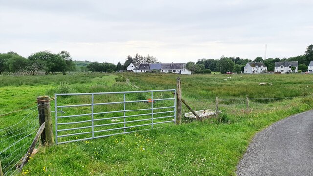
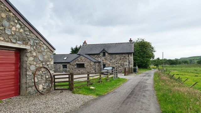
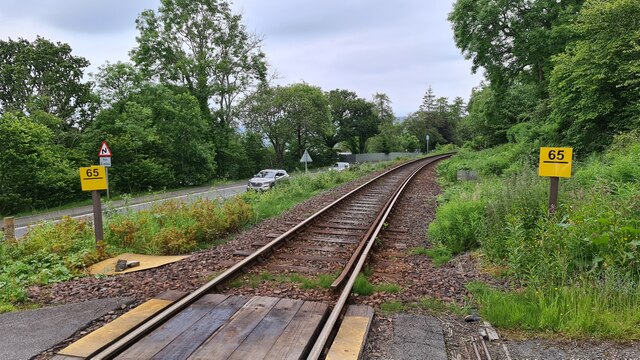
Images are sourced within 2km of 56.456558/-5.3904102 or Grid Reference NM9134. Thanks to Geograph Open Source API. All images are credited.

Falls of Lora is located at Grid Ref: NM9134 (Lat: 56.456558, Lng: -5.3904102)
Unitary Authority: Argyll and Bute
Police Authority: Argyll and West Dunbartonshire
What 3 Words
///cobras.treble.hikes. Near Oban, Argyll & Bute
Nearby Locations
Related Wikis

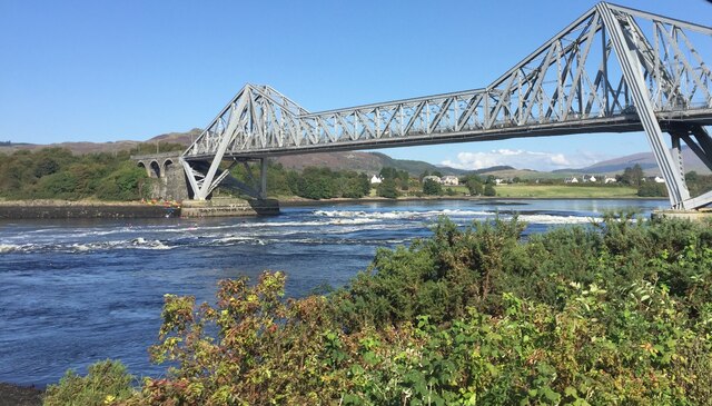
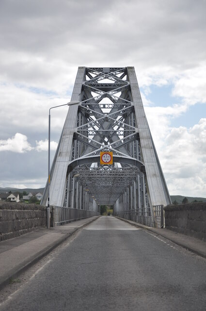
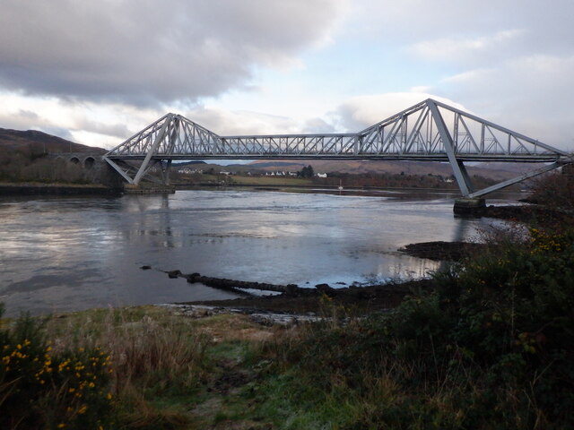
Connel Bridge
Connel Bridge is a cantilever bridge that spans Loch Etive at Connel in Scotland. The bridge takes the A828 road across the narrowest part of the loch...

Falls of Lora
The Falls of Lora is a tidal race which forms at the mouth of Loch Etive when a particularly high tide runs out from the loch. They form white water rapids...

North Connel railway station
North Connel was a railway station located in North Connel, Argyll and Bute, on the north shore of Loch Etive. Its location was at the north end of Connel...
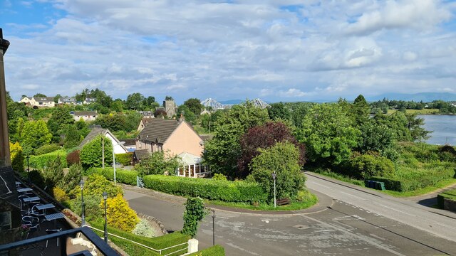
Connel
Connel (Gaelic: A' Choingheal) is a village in Argyll and Bute, Scotland. It is situated on the southern shore of Loch Etive. The Lusragan Burn flows through...
North Connel
North Connel is a hamlet on the north side of Loch Etive in Argyll and Bute, Scotland. Connel Bridge connects the community to Connel on the south shore...

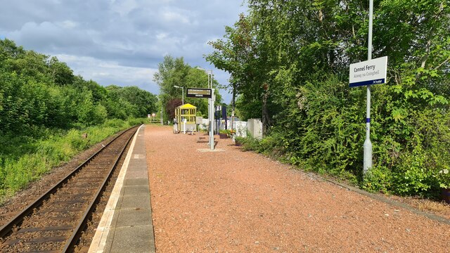
Connel Ferry railway station
Connel Ferry railway station is a railway station serving the village of Connel in western Scotland. This station is on the Oban branch of the West Highland...

Oban Airport
Oban Airport (Scottish Gaelic: Port-adhair an Òbain) (IATA: OBN, ICAO: EGEO) is located 5 nautical miles (9.3 km; 5.8 mi) northeast of Oban, near the village...

SS Breda
SS Breda was a Dutch cargo-passenger ship sunk in Scotland during World War II. == Construction == The ship was built at the Nieuwe Waterweg Scheepsbouwmaatschappij...
Nearby Amenities
Located within 500m of 56.456558,-5.3904102Have you been to Falls of Lora?
Leave your review of Falls of Lora below (or comments, questions and feedback).