Creagan Eachainn
Coastal Feature, Headland, Point in Argyllshire
Scotland
Creagan Eachainn
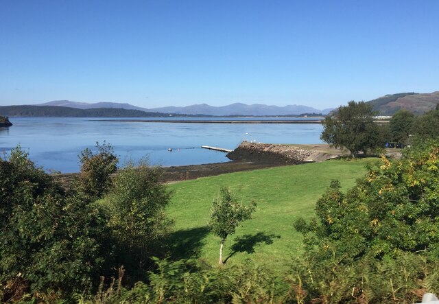
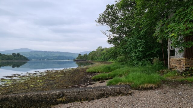
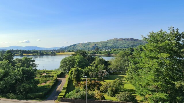
Creagan Eachainn is a stunning coastal feature located in Argyllshire, Scotland. It is a prominent headland that extends into the waters of the Atlantic Ocean. The name "Creagan Eachainn" translates to "Hector's Rocks" in English, paying homage to the historical significance of the area.
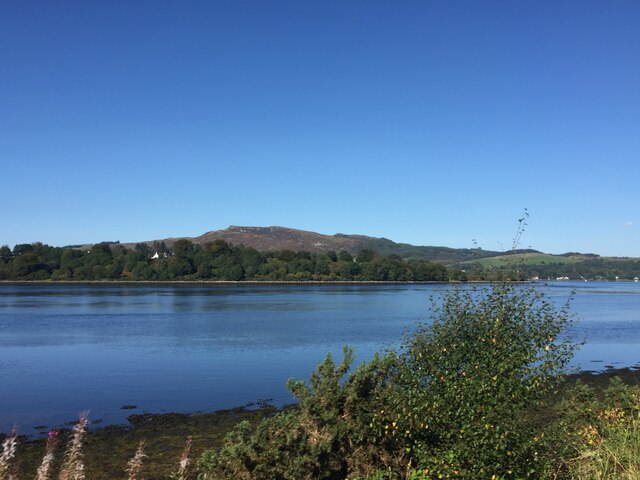
This headland is known for its rugged and dramatic landscape. It is characterized by towering cliffs that overlook the churning waters below. The cliffs are made up of a variety of rock types, including granite and slate, which have been shaped by centuries of erosion from the crashing waves.
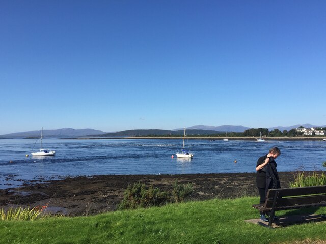
Creagan Eachainn offers breathtaking panoramic views of the surrounding area. From the top of the headland, visitors can admire the vast expanse of the ocean and the distant hills that dot the horizon. On a clear day, the Isle of Mull can be seen in the distance, adding to the allure of this coastal feature.
The headland is a haven for wildlife enthusiasts, as it provides a habitat for a diverse array of species. Seabirds such as gannets, puffins, and razorbills can be spotted nesting on the cliffs, while seals can often be seen basking on the rocks below. The surrounding waters are also home to a variety of marine life, including dolphins and porpoises.
Creagan Eachainn is a popular destination for hikers and nature lovers, offering both scenic beauty and an opportunity to immerse oneself in the natural wonders of Argyllshire. Its unique geology, breathtaking views, and abundant wildlife make it a must-visit coastal feature for anyone exploring the region.
If you have any feedback on the listing, please let us know in the comments section below.
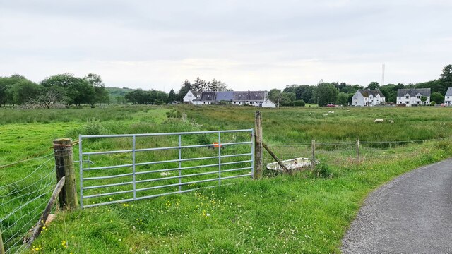
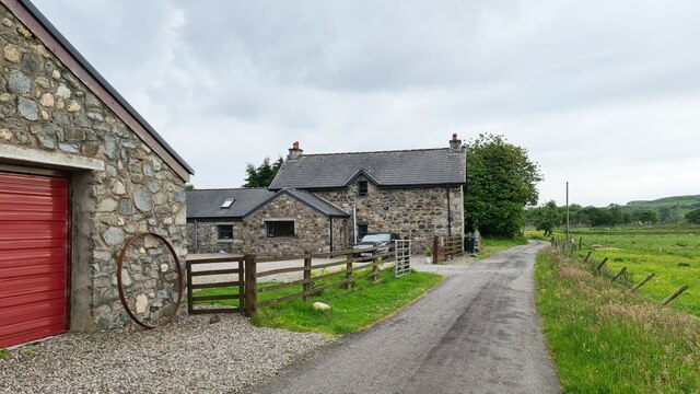
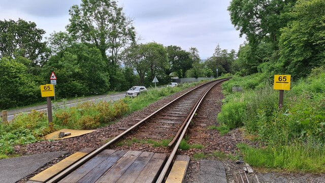
Creagan Eachainn Images
Images are sourced within 2km of 56.455561/-5.3884055 or Grid Reference NM9134. Thanks to Geograph Open Source API. All images are credited.

Creagan Eachainn is located at Grid Ref: NM9134 (Lat: 56.455561, Lng: -5.3884055)
Unitary Authority: Argyll and Bute
Police Authority: Argyll and West Dunbartonshire
What 3 Words
///spending.shun.positives. Near Oban, Argyll & Bute
Nearby Locations
Related Wikis

Falls of Lora
The Falls of Lora is a tidal race which forms at the mouth of Loch Etive when a particularly high tide runs out from the loch. They form white water rapids...
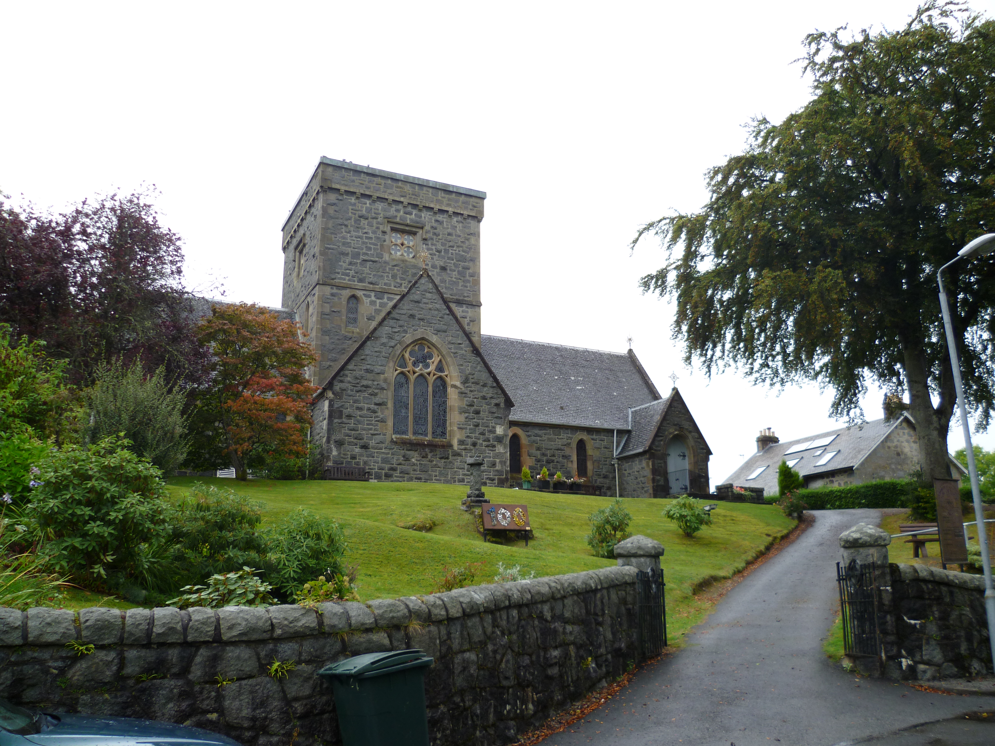
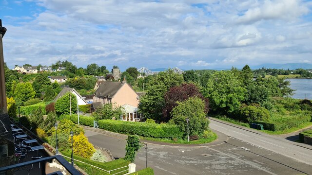
Connel
Connel (Gaelic: A' Choingheal) is a village in Argyll and Bute, Scotland. It is situated on the southern shore of Loch Etive. The Lusragan Burn flows through...

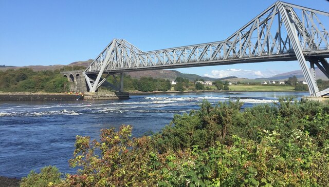
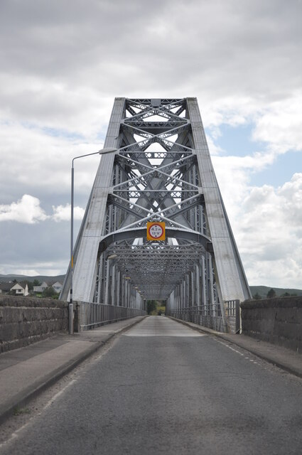
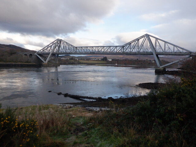
Connel Bridge
Connel Bridge is a cantilever bridge that spans Loch Etive at Connel in Scotland. The bridge takes the A828 road across the narrowest part of the loch...

North Connel railway station
North Connel was a railway station located in North Connel, Argyll and Bute, on the north shore of Loch Etive. Its location was at the north end of Connel...

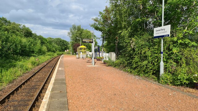
Connel Ferry railway station
Connel Ferry railway station is a railway station serving the village of Connel in western Scotland. This station is on the Oban branch of the West Highland...
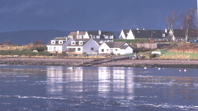
North Connel
North Connel is a hamlet on the north side of Loch Etive in Argyll and Bute, Scotland. Connel Bridge connects the community to Connel on the south shore...

Oban Airport
Oban Airport (Scottish Gaelic: Port-adhair an Òbain) (IATA: OBN, ICAO: EGEO) is located 5 nautical miles (9.3 km; 5.8 mi) northeast of Oban, near the village...

SS Breda
SS Breda was a Dutch cargo-passenger ship sunk in Scotland during World War II. == Construction == The ship was built at the Nieuwe Waterweg Scheepsbouwmaatschappij...
Nearby Amenities
Located within 500m of 56.455561,-5.3884055Have you been to Creagan Eachainn?
Leave your review of Creagan Eachainn below (or comments, questions and feedback).