Battram
Settlement in Leicestershire North West Leicestershire
England
Battram
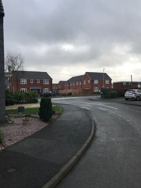
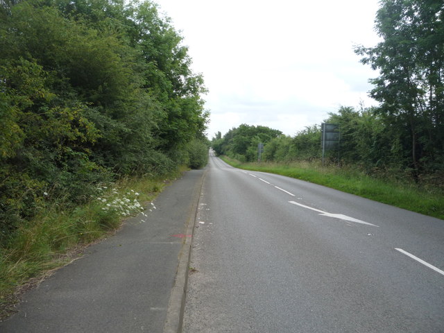
Battram is a small village located in the district of Hinckley and Bosworth, in the county of Leicestershire, England. Situated about 7 miles southwest of the town of Coalville, Battram is a quaint and picturesque rural settlement with a population of around 200 residents.
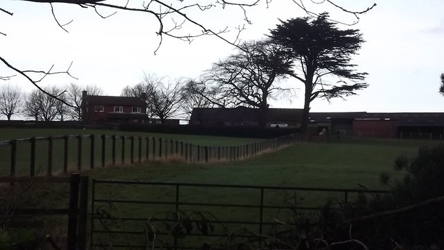
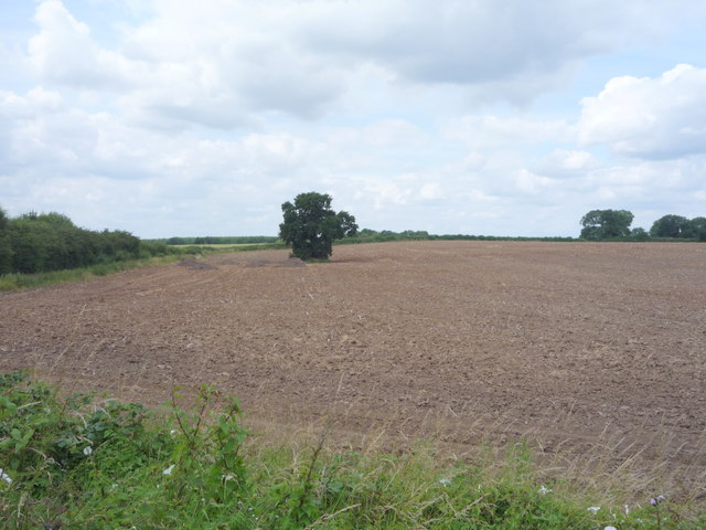
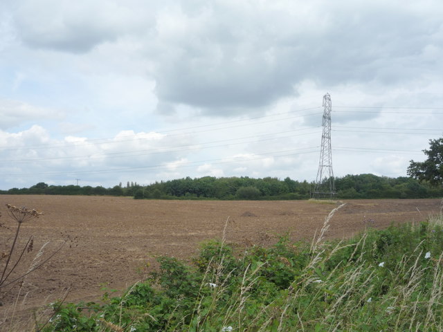
The village is characterized by its charming countryside setting, surrounded by rolling fields and farmland. The landscape is dotted with traditional English cottages, some of which date back several centuries, adding a touch of historical charm to the area. Battram is known for its peaceful and tranquil atmosphere, making it an ideal retreat for those seeking a break from the busy city life.
Despite its small size, Battram has a strong sense of community and hosts various events throughout the year. The village holds an annual summer fete, bringing together residents and visitors for a day of festivities and entertainment. The local pub serves as a social hub, providing a gathering place for villagers to relax and socialize.
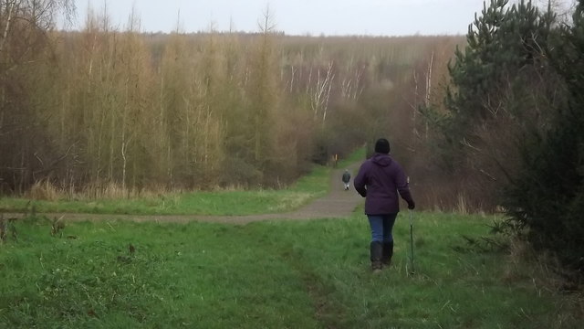
Although Battram is primarily a residential area, it benefits from its proximity to nearby towns and cities. The village is conveniently located near major transportation routes, allowing easy access to amenities and services in Coalville and Hinckley. Additionally, the surrounding countryside offers ample opportunities for outdoor activities such as walking, cycling, and horse riding.
Overall, Battram is a charming and idyllic village that offers a peaceful retreat amidst the beautiful Leicestershire countryside.
If you have any feedback on the listing, please let us know in the comments section below.
Battram Images
Images are sourced within 2km of 52.682288/-1.366793 or Grid Reference SK4209. Thanks to Geograph Open Source API. All images are credited.
Battram is located at Grid Ref: SK4209 (Lat: 52.682288, Lng: -1.366793)
Administrative County: Leicestershire
District: North West Leicestershire
Police Authority: Leicestershire
What 3 Words
///toned.mugs.polices. Near Bagworth, Leicestershire
Nearby Locations
Related Wikis
Ellistown F.C.
Ellistown Football Club is a football club based in the village of Ellistown, near Coalville in Leicestershire, England. They are currently members of...
Bagworth and Ellistown railway station
Bagworth and Ellistown was a railway station on the Leicester to Burton upon Trent Line, that served the villages of Bagworth and Ellistown in Leicestershire...
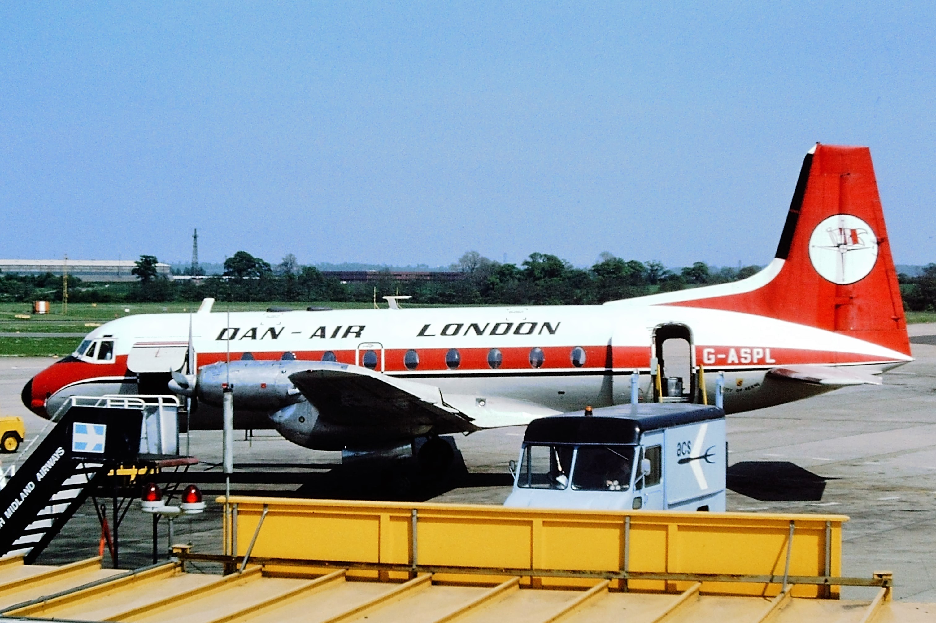
Dan-Air Flight 240
Dan-Air Flight 240 was a fatal accident involving a Hawker Siddeley HS 748 series 2A turboprop aircraft operated by Dan Air Services Limited on the first...
Ellistown and Battleflat
Ellistown and Battleflat is a civil parish in North West Leicestershire, England, just south of the town of Coalville. Most of the parish's population...
Battram
Battram is a hamlet forming part of the Ibstock civil parish in North West Leicestershire, England. Battram is named after Johnny Battram, who had the...
Ellistown
Ellistown is a village about 2 miles (3 km) south of Coalville in North West Leicestershire, England. It is named after Colonel Joseph Joel Ellis who died...
Bagworth
Bagworth is a village and former civil parish, now in the parish of Bagworth and Thornton, in the Hinckley and Bosworth district, in Leicestershire, England...
Ibstock United F.C.
Ibstock United Football Club was a football club based in the village of Ibstock, near Coalville in Leicestershire, England. They played at the Welfare...
Nearby Amenities
Located within 500m of 52.682288,-1.366793Have you been to Battram?
Leave your review of Battram below (or comments, questions and feedback).
