Battram Wood
Wood, Forest in Leicestershire North West Leicestershire
England
Battram Wood
Battram Wood is a picturesque woodland located in Leicestershire, England. Covering an area of approximately 100 acres, it is situated near the village of Battram, just a few miles south of Coalville. The wood is part of the larger National Forest, which spans across several counties in the Midlands.
Battram Wood is primarily composed of broadleaf trees, including oak, ash, and beech, which create a dense canopy and provide a vibrant display of colors during the autumn months. The forest floor is adorned with an array of wildflowers and ferns, adding to the overall beauty of the woodland.
The wood is home to a diverse range of wildlife, making it a popular spot for nature enthusiasts and birdwatchers. Common sightings include various species of birds, such as woodpeckers, owls, and songbirds. Small mammals, like squirrels and rabbits, can also be found scurrying through the undergrowth.
Walking trails and footpaths crisscross the wood, offering visitors the opportunity to explore its natural wonders. The paths lead to secluded glades and tranquil ponds, providing a peaceful and serene atmosphere for those seeking a break from the hustle and bustle of everyday life.
Battram Wood is managed by the National Forest Company, which ensures the preservation and conservation of the woodland. They also organize educational programs and events to promote awareness and understanding of the forest's importance in the local ecosystem.
In conclusion, Battram Wood in Leicestershire is a captivating woodland that offers a haven of tranquility and natural beauty. With its diverse range of flora and fauna, it is a cherished part of the National Forest and a beloved destination for nature lovers.
If you have any feedback on the listing, please let us know in the comments section below.
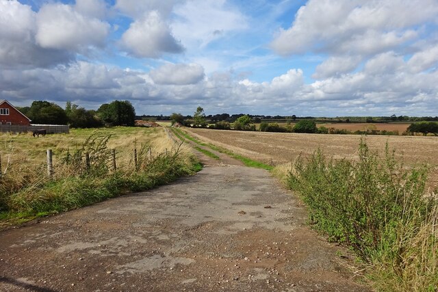
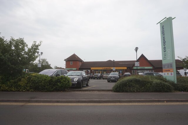
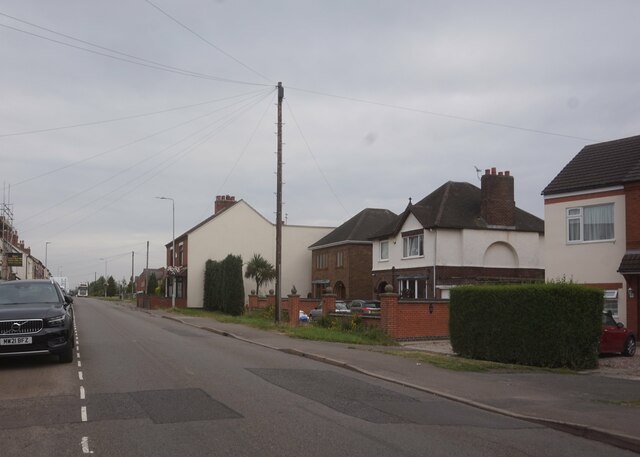
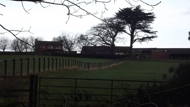
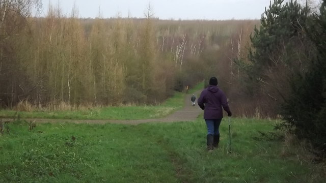
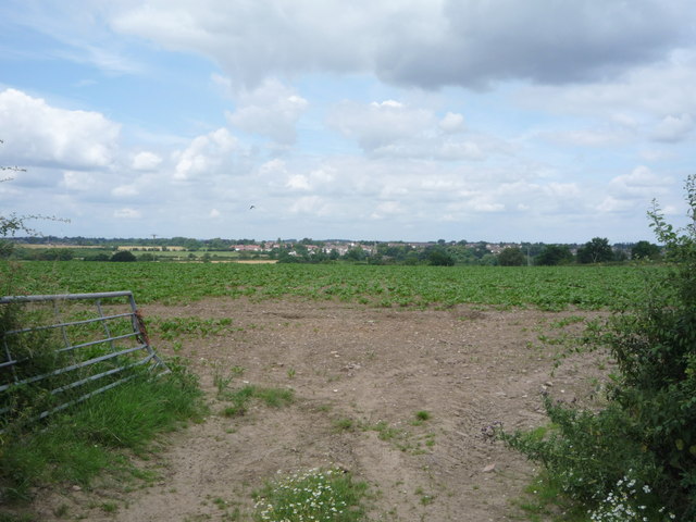
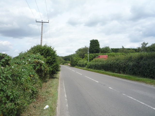
Battram Wood Images
Images are sourced within 2km of 52.680814/-1.3771712 or Grid Reference SK4209. Thanks to Geograph Open Source API. All images are credited.


Battram Wood is located at Grid Ref: SK4209 (Lat: 52.680814, Lng: -1.3771712)
Administrative County: Leicestershire
District: North West Leicestershire
Police Authority: Leicestershire
What 3 Words
///spice.tasteful.highways. Near Ibstock, Leicestershire
Nearby Locations
Related Wikis

Battram
Battram is a hamlet forming part of the Ibstock civil parish in North West Leicestershire, England. Battram is named after Johnny Battram, who had the...
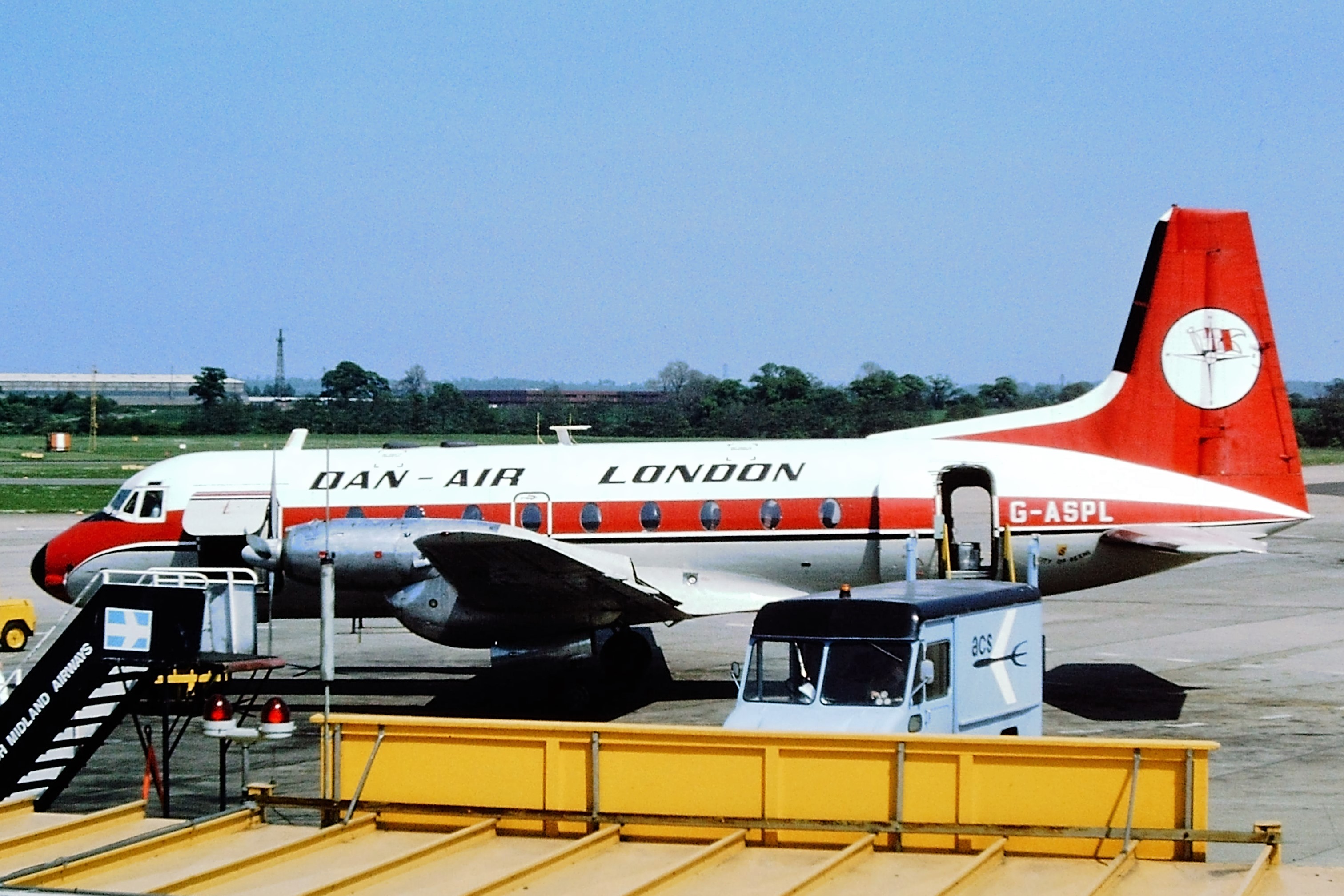
Dan-Air Flight 240
Dan-Air Flight 240 was a fatal accident involving a Hawker Siddeley HS 748 series 2A turboprop aircraft operated by Dan Air Services Limited on the first...

Ellistown F.C.
Ellistown Football Club is a football club based in the village of Ellistown, near Coalville in Leicestershire, England. They are currently members of...
Ibstock
Ibstock is a former coal mining town and civil parish about 3 miles (5 km) south of Coalville in North West Leicestershire, England. The population of...
Ibstock United F.C.
Ibstock United Football Club was a football club based in the village of Ibstock, near Coalville in Leicestershire, England. They played at the Welfare...

Bagworth and Ellistown railway station
Bagworth and Ellistown was a railway station on the Leicester to Burton upon Trent Line, that served the villages of Bagworth and Ellistown in Leicestershire...
Ellistown
Ellistown is a village about 2 miles (3 km) south of Coalville in North West Leicestershire, England. It is named after Colonel Joseph Joel Ellis who died...
Ellistown and Battleflat
Ellistown and Battleflat is a civil parish in North West Leicestershire, England, just south of the town of Coalville. Most of the parish's population...
Nearby Amenities
Located within 500m of 52.680814,-1.3771712Have you been to Battram Wood?
Leave your review of Battram Wood below (or comments, questions and feedback).