Battlesea Green
Settlement in Suffolk Mid Suffolk
England
Battlesea Green

Battlesea Green is a small village located in the county of Suffolk, England. Situated approximately 4 miles southwest of the historic market town of Woodbridge, the village is nestled within the picturesque countryside of East Anglia. It falls within the Suffolk Coastal district and has a population of around 300 residents.
The village is known for its idyllic rural setting, with rolling green fields, charming thatched cottages, and a sense of tranquility that attracts visitors seeking a peaceful retreat. The landscape surrounding Battlesea Green is predominantly agricultural, with local farmers cultivating crops and rearing livestock.
The village itself boasts a close-knit community, where residents often engage in various social activities and events. The heart of the village is the local pub, The Battlesea Arms, which serves as a gathering place for both locals and visitors alike.
Despite its small size, Battlesea Green offers a range of amenities to its residents, including a primary school, a village hall, and a church. Additionally, the nearby town of Woodbridge provides access to a wider range of services, such as supermarkets, healthcare facilities, and educational institutions.
From a historical perspective, Battlesea Green has a rich heritage, with several listed buildings dating back to the 17th and 18th centuries. The village is also surrounded by archaeological sites, including ancient burial mounds and Roman remains, showcasing its significance in the region's history.
Overall, Battlesea Green offers a charming and peaceful escape for those seeking a rural retreat, while still providing access to essential amenities and a vibrant local community.
If you have any feedback on the listing, please let us know in the comments section below.
Battlesea Green Images
Images are sourced within 2km of 52.329785/1.264522 or Grid Reference TM2275. Thanks to Geograph Open Source API. All images are credited.


Battlesea Green is located at Grid Ref: TM2275 (Lat: 52.329785, Lng: 1.264522)
Administrative County: Suffolk
District: Mid Suffolk
Police Authority: Suffolk
What 3 Words
///chop.workbench.handed. Near Stradbroke, Suffolk
Nearby Locations
Related Wikis
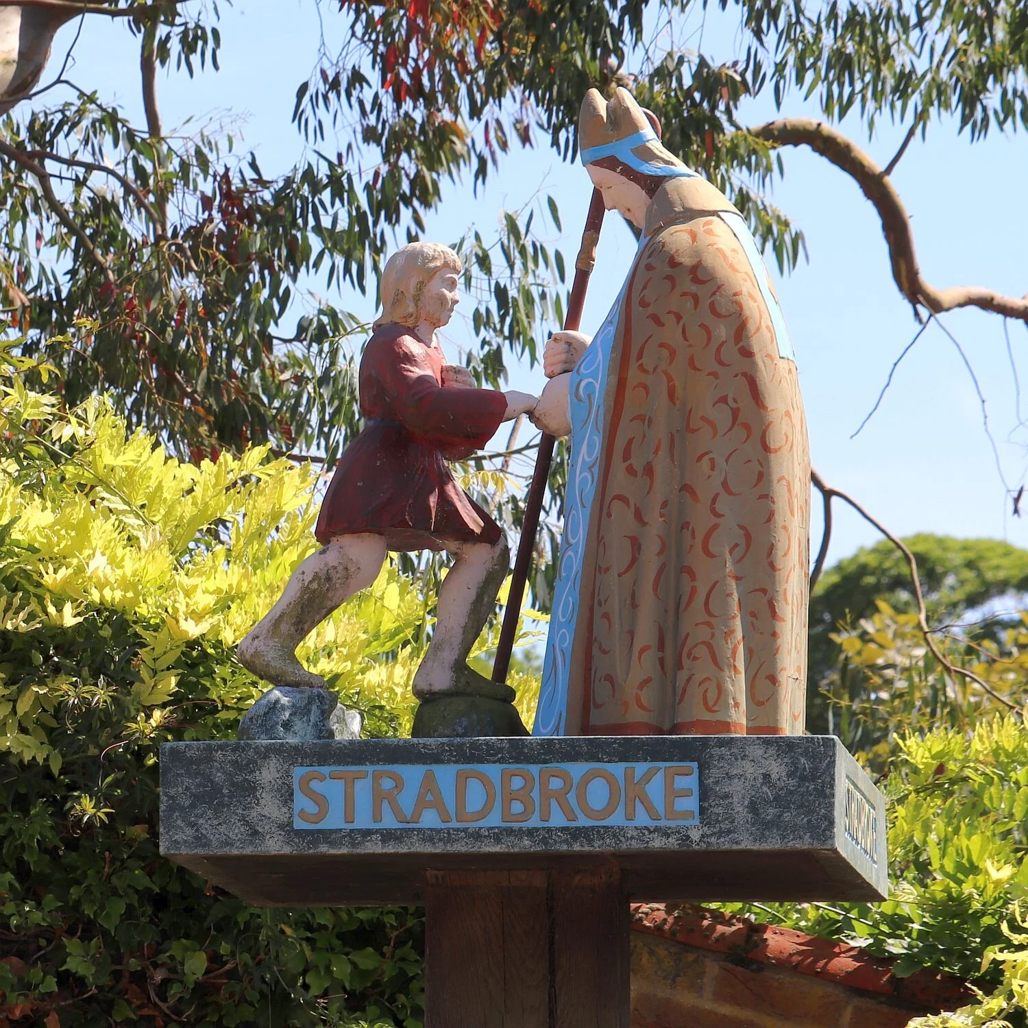
Stradbroke
Stradbroke ( STRAD-brook) is an English village in the Mid Suffolk district of the county of Suffolk. The Census of 2011 gave the parish a population of...

Stradbroke High School
Stradbroke High School is a secondary school with academy status for 11- to 16-year-olds in the village of Stradbroke in the English county of Suffolk...

Stradisphere Festival
Stradisphere Festival is an annual music festival held in Stradbroke, Suffolk, England, in July. It celebrated its 5th year in 2018 with headliners Badly...

Chickering, Suffolk
Chickering is a place in the civil parish of Hoxne, and the Mid Suffolk district of Suffolk, England. It is on the B118 Hoxne to Stradbroke road, and approximately...
Nearby Amenities
Located within 500m of 52.329785,1.264522Have you been to Battlesea Green?
Leave your review of Battlesea Green below (or comments, questions and feedback).