Faodhail Dhubh
Sea, Estuary, Creek in Argyllshire
Scotland
Faodhail Dhubh
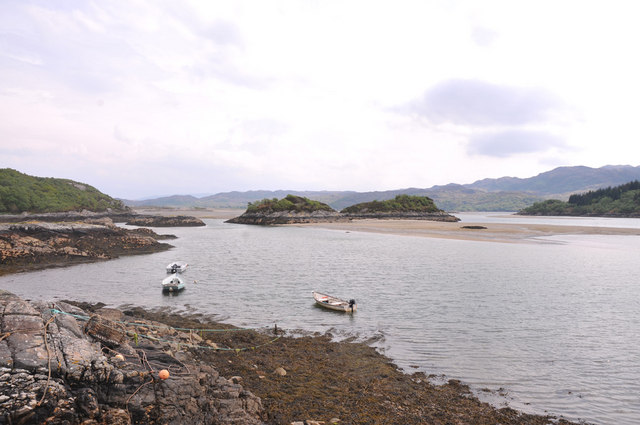
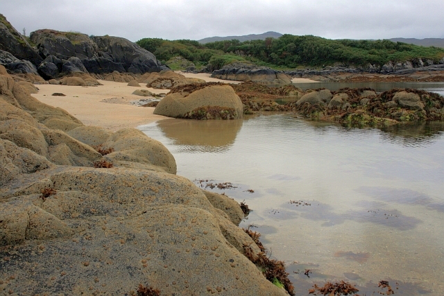
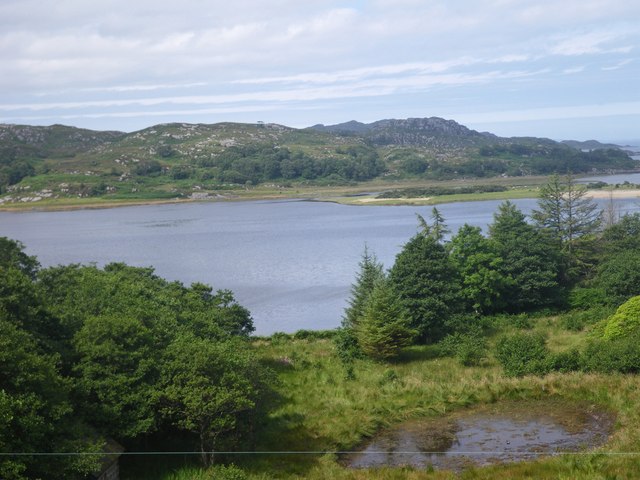
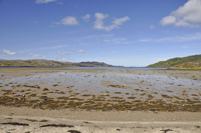
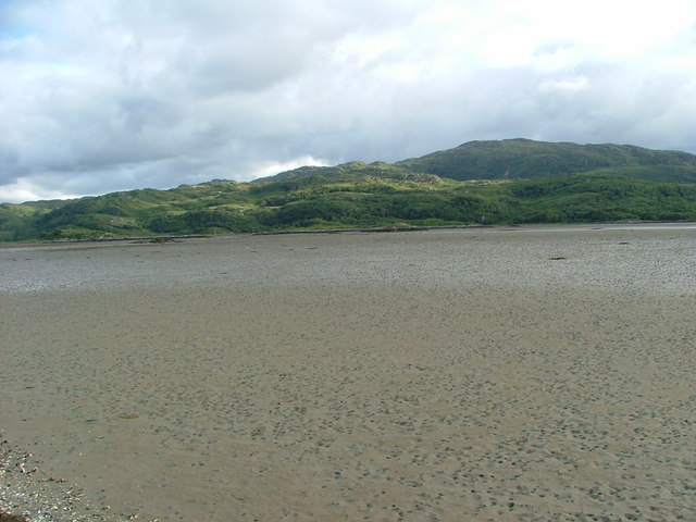
Faodhail Dhubh is a picturesque sea inlet located in Argyllshire, Scotland. Nestled amidst stunning natural landscapes, it offers a tranquil and idyllic setting for visitors and locals alike to enjoy the beauty of the Scottish coast.
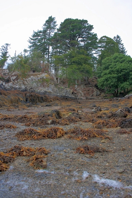
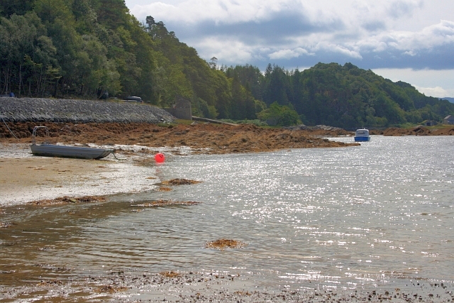
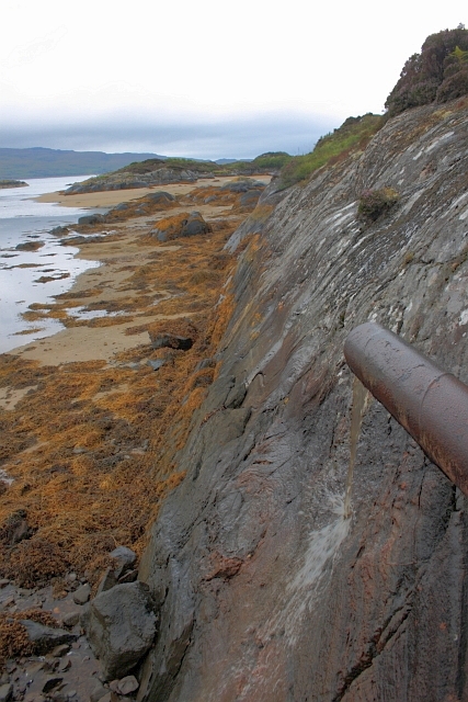
With its crystal-clear waters and rocky shores, Faodhail Dhubh is a haven for marine life and is often frequented by seals, dolphins, and a variety of seabirds. The sea inlet is also home to an abundance of marine flora, creating a vibrant and diverse ecosystem. This makes it a popular spot for nature enthusiasts and photographers looking to capture the stunning scenery and wildlife.
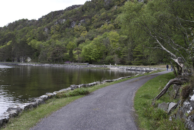
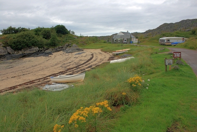
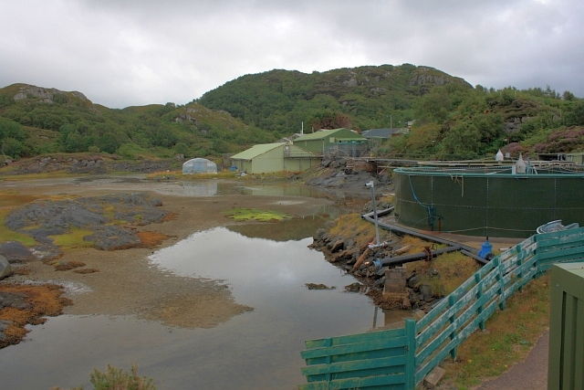
The estuary of Faodhail Dhubh is surrounded by rolling hills and lush greenery, adding to its natural charm. The creek itself is relatively narrow, allowing for easy exploration by boat or kayak, offering visitors the chance to immerse themselves in the serene environment and take in the breathtaking views.
For those seeking adventure, Faodhail Dhubh provides opportunities for various water activities such as fishing and sailing. The calm and sheltered waters make it an ideal spot for beginners and experienced enthusiasts alike.
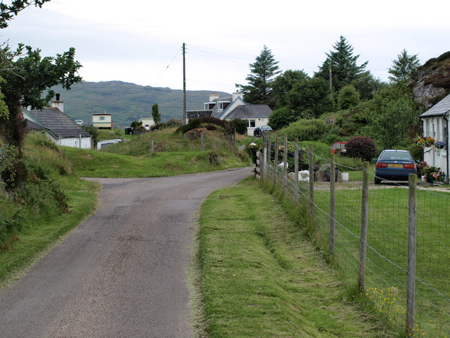
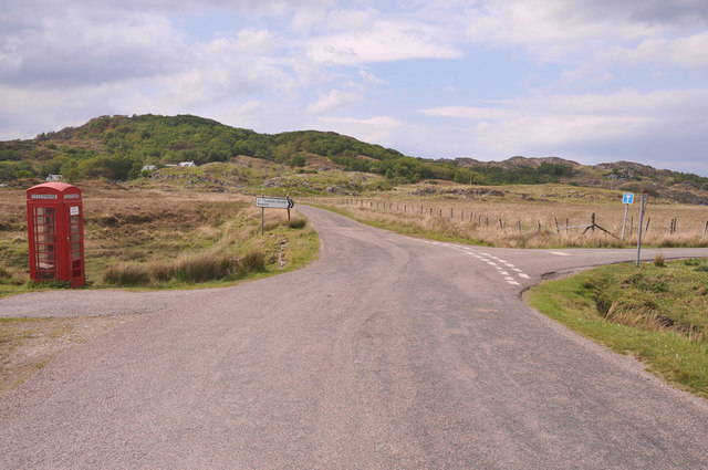
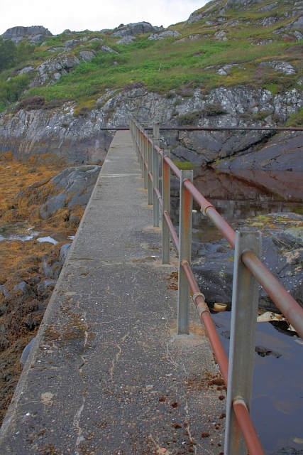
Access to Faodhail Dhubh is relatively easy, with a nearby car park and walking trails that lead to the shore. The surrounding area also offers a range of amenities, including picnic areas and nearby accommodation options, making it a popular destination for day trips or longer stays.
In conclusion, Faodhail Dhubh in Argyllshire is a captivating sea inlet, boasting stunning natural beauty and a rich marine ecosystem. Its tranquil setting and range of activities make it a must-visit location for nature lovers and adventure seekers alike.
If you have any feedback on the listing, please let us know in the comments section below.
Faodhail Dhubh Images
Images are sourced within 2km of 56.773752/-5.8559416 or Grid Reference NM6471. Thanks to Geograph Open Source API. All images are credited.


Faodhail Dhubh is located at Grid Ref: NM6471 (Lat: 56.773752, Lng: -5.8559416)
Unitary Authority: Highland
Police Authority: Highlands and Islands
What 3 Words
///stores.pursue.skidding. Near Arisaig, Highland
Related Wikis

Newton of Ardtoe
Newton of Ardtoe is a scattered crofting hamlet near Acharacle in Lochaber, Scottish Highlands and is in the council area of Highland.

Ardtoe
Ardtoe (Scottish Gaelic: Àird Tobha) is a place on the coast of Ardnamurchan, Lochaber, in the Highland council area of Scotland. It has sandy beaches...

Castle Tioram
Castle Tioram (; Scottish Gaelic: Caisteal Tioram, meaning "dry castle") is a ruined castle that sits on the tidal island Eilean Tioram in Loch Moidart...
Kentra Bay
Kentra Bay, also known as the Singing Sands, is a remote tidal, 306° orientated, coastal embayment located on the northern shore of the Ardnamurchan peninsula...
Nearby Amenities
Located within 500m of 56.773752,-5.8559416Have you been to Faodhail Dhubh?
Leave your review of Faodhail Dhubh below (or comments, questions and feedback).