Battlefield
Settlement in Renfrewshire
Scotland
Battlefield
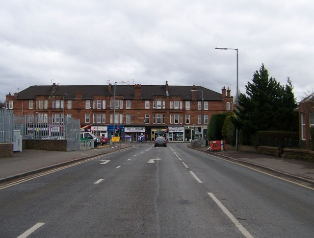
Battlefield is a small residential area located in the town of Renfrewshire, Scotland. Situated approximately three miles south of the town center of Paisley, it is well-connected to the surrounding areas by various transportation routes, including the nearby M8 motorway and several bus routes.
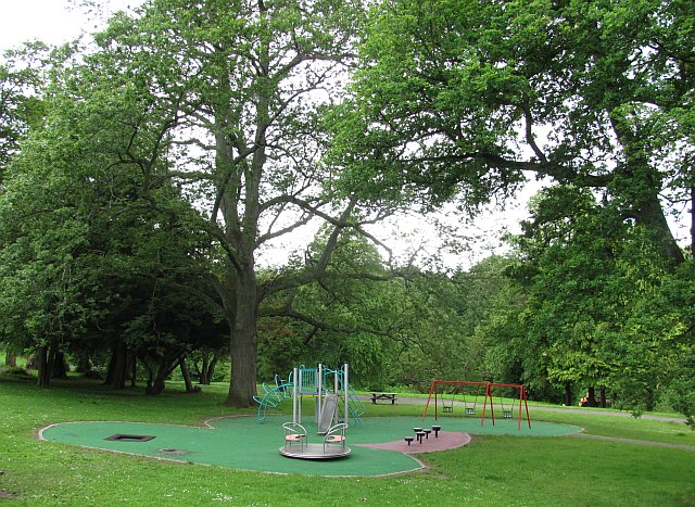
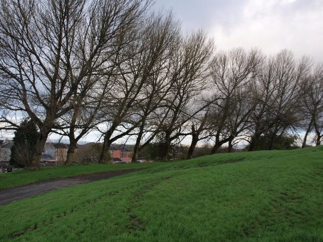
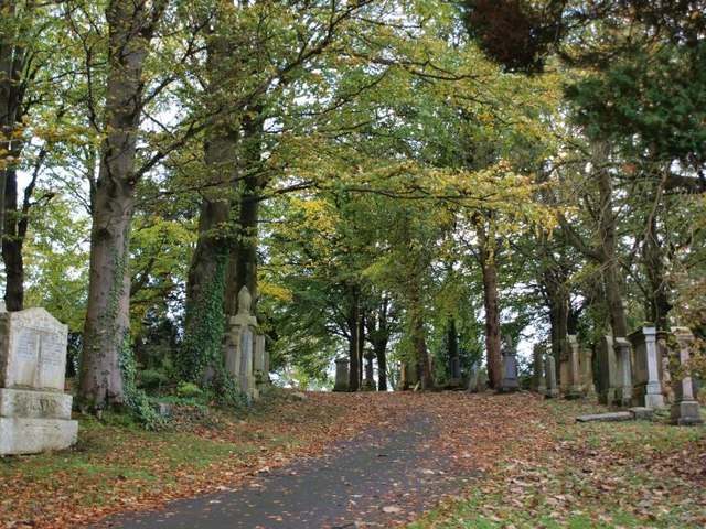
The neighborhood is primarily composed of residential properties, ranging from Victorian-era terraced houses to more modern flats and apartments. The area maintains a peaceful and friendly atmosphere, with well-maintained green spaces and parks providing residents with ample opportunities for outdoor activities and recreation.
One of the notable features of Battlefield is its proximity to numerous amenities and services. The nearby Renfrewshire town center boasts a wide range of shops, restaurants, and entertainment options, ensuring that residents have easy access to all their daily needs. Additionally, the nearby Braehead Shopping Centre offers a larger selection of retail outlets, as well as a cinema complex and an indoor ski slope.
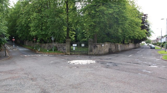
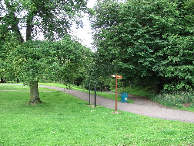
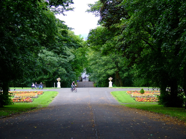
For those who enjoy outdoor pursuits, the nearby Gleniffer Braes Country Park provides a stunning natural landscape with panoramic views of the surrounding area. The park offers various walking and cycling trails, as well as opportunities for picnicking and wildlife spotting.
Overall, Battlefield in Renfrewshire offers a desirable residential location that combines the tranquility of a residential area with the convenience of nearby amenities and recreational opportunities.
If you have any feedback on the listing, please let us know in the comments section below.
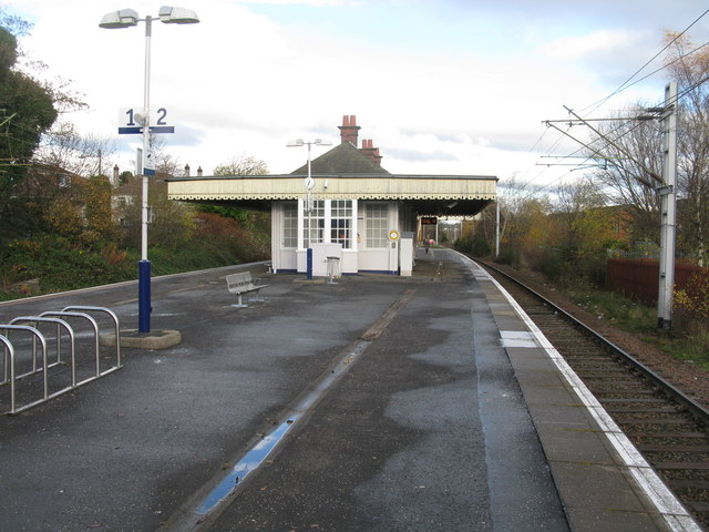
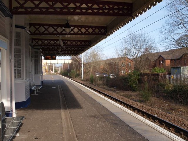
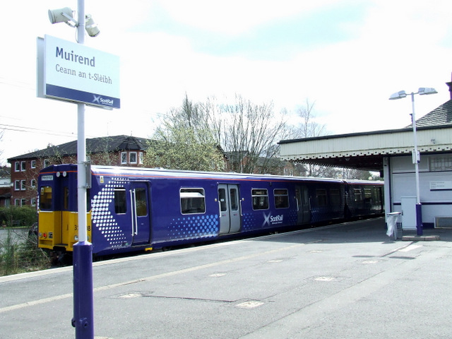
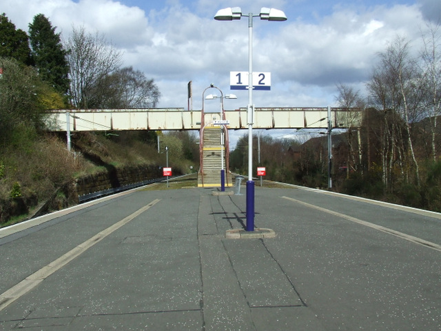
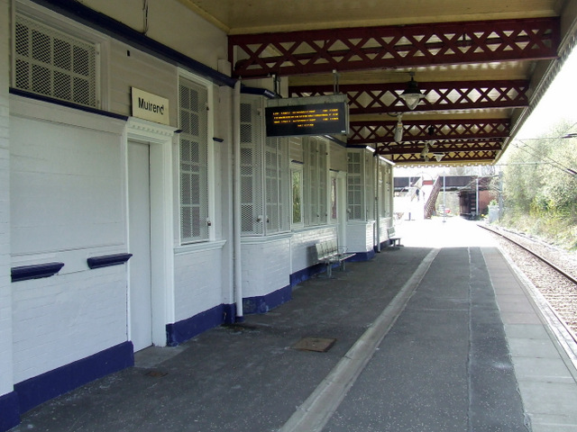
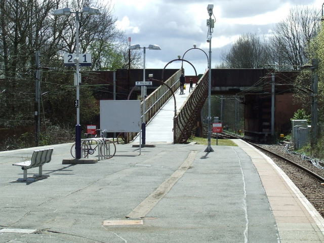
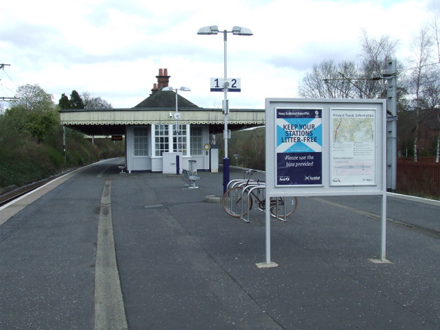
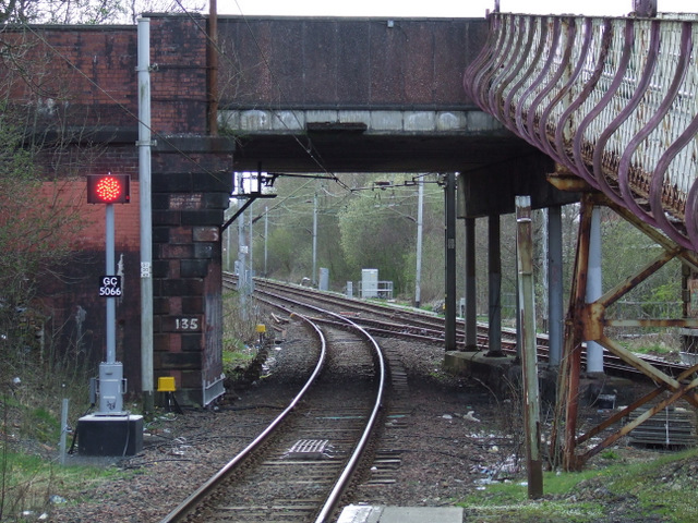
Battlefield Images
Images are sourced within 2km of 55.825198/-4.2693551 or Grid Reference NS5761. Thanks to Geograph Open Source API. All images are credited.
Battlefield is located at Grid Ref: NS5761 (Lat: 55.825198, Lng: -4.2693551)
Unitary Authority: City of Glasgow
Police Authority: Greater Glasgow
What 3 Words
///rises.price.wings. Near Netherlee, East Renfrewshire
Nearby Locations
Related Wikis
Battlefield, Glasgow
Battlefield is a district in the Scottish city of Glasgow. It is situated south of the River Clyde. The area takes its name from the Battle of Langside...

Glasgow Victoria Infirmary
The Glasgow Victoria Infirmary was a teaching hospital situated at Langside/Battlefield in the south-east of Glasgow from 1880 until 2015. It was managed...

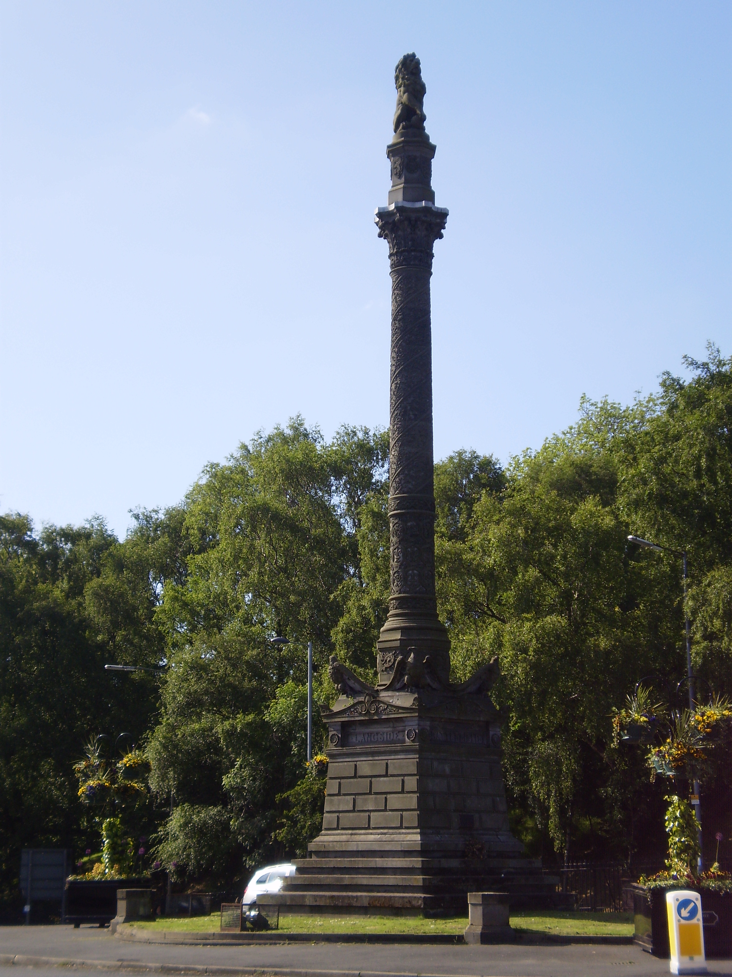
Battle of Langside
The Battle of Langside was fought on 13 May 1568 between forces loyal to Mary, Queen of Scots, and forces acting in the name of her infant son James VI...

Langside College
Langside College was a further and higher education college located in the Mount Florida / Battlefield region of Glasgow. It was established in 1947 and...

Millbrae Crescent
Millbrae Crescent is a street located in Glasgow providing numerous examples of category A listed buildings thought to be designed by Alexander "Greek...

New Victoria Hospital
The New Victoria Hospital is an ambulatory care hospital situated at Langside/Battlefield in the south-east of Glasgow, Scotland. It is managed by NHS...
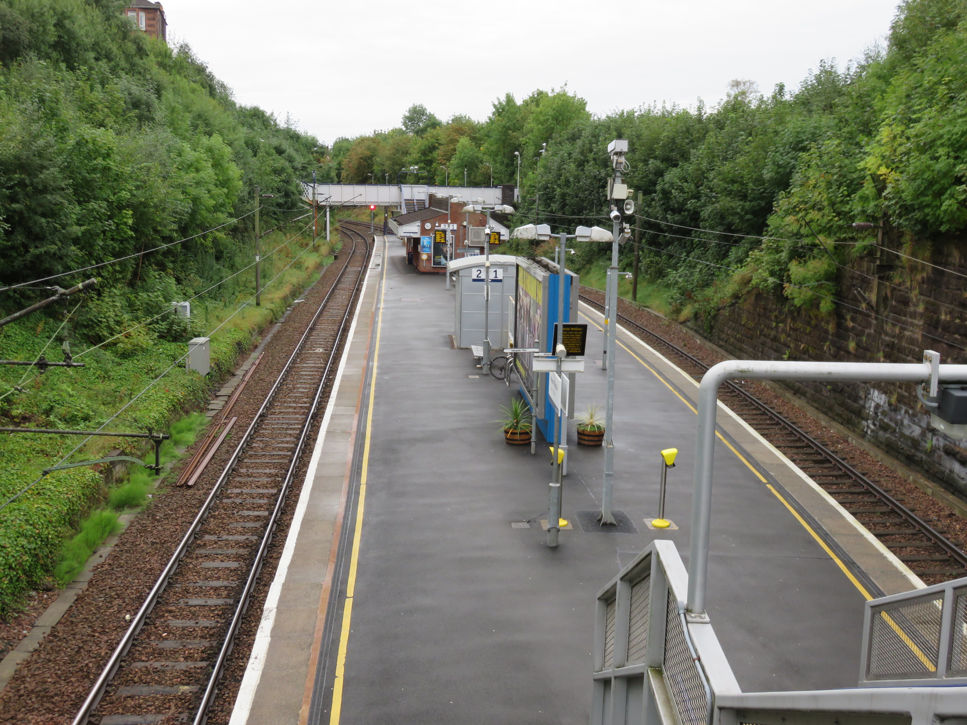
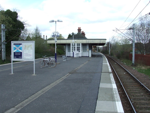
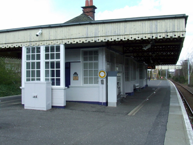
Mount Florida railway station
Mount Florida railway station is a staffed island platform station on the Cathcart Circle. It serves the Mount Florida and Battlefield areas of Glasgow...
Queen's Park, Glasgow
Queen's Park (Scottish Gaelic: Pàirc na Banrìghinn, Scots: Queen's Pairk) is a park situated on the south side of the city of Glasgow, Scotland, between...
Nearby Amenities
Located within 500m of 55.825198,-4.2693551Have you been to Battlefield?
Leave your review of Battlefield below (or comments, questions and feedback).