Port na Marach
Sea, Estuary, Creek in Argyllshire
Scotland
Port na Marach
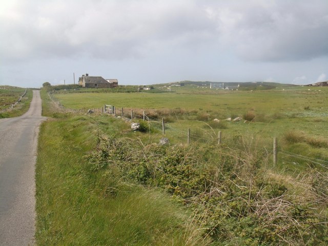
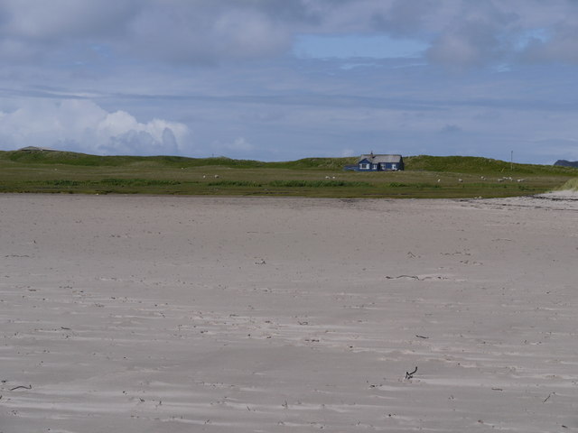
Port na Marach is a picturesque coastal region located in Argyllshire, Scotland. Nestled on the western coast of the country, this area is renowned for its stunning sea views, enchanting estuaries, and charming creeks. Its idyllic location offers visitors a tranquil escape from the hustle and bustle of everyday life.
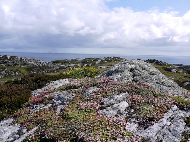
The highlight of Port na Marach is undoubtedly its breathtaking sea. The azure waters stretch as far as the eye can see and are home to a diverse range of marine life. Visitors can often spot seals basking in the sun or catch a glimpse of dolphins playfully swimming in the distance.
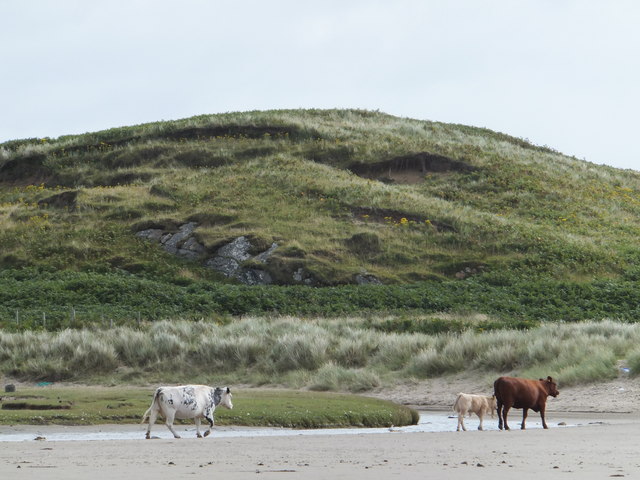
The estuaries in Port na Marach are a sight to behold. These natural formations are created by the meeting of rivers or streams with the sea, resulting in a unique ecosystem that is teeming with wildlife. The estuaries are a paradise for bird watchers, as they attract a variety of species, including herons, oystercatchers, and curlews.
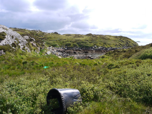
For those seeking a quieter spot, the creeks in Port na Marach offer a peaceful retreat. These narrow waterways meander through lush greenery, providing a serene environment for relaxation and contemplation. Exploring the creeks by boat or kayak is a popular activity, allowing visitors to immerse themselves in the stunning natural surroundings.
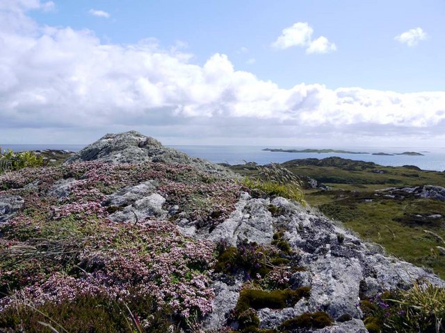
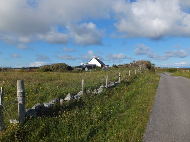
Overall, Port na Marach is a haven for nature lovers and those seeking solace in the beauty of the Scottish coast. Its sea, estuaries, and creeks offer a diverse range of experiences, from thrilling wildlife encounters to peaceful moments of reflection.
If you have any feedback on the listing, please let us know in the comments section below.
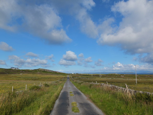
Port na Marach Images
Images are sourced within 2km of 56.585725/-6.5924034 or Grid Reference NM1853. Thanks to Geograph Open Source API. All images are credited.


Port na Marach is located at Grid Ref: NM1853 (Lat: 56.585725, Lng: -6.5924034)
Unitary Authority: Argyll and Bute
Police Authority: Argyll and West Dunbartonshire
What 3 Words
///lunging.increment.sparks. Near Arinagour, Argyll & Bute
Related Wikis

Dùn an Achaidh
Dùn an Achaidh, sometimes Anglicised as Dun Acha, is a dun located near the village of Acha on the Inner Hebridean island of Coll. It is considered the...

Acha, Coll
Acha (Gaelic: An t-Achadh, tranlsating to "The Field") is a small hamlet on the Scottish island of Coll. == References == == See also == Dùn an Achaidh...

Breachacha Castle
Breachacha Castle (also spelled Breacachadh) is either of two structures on the shore of Loch Breachacha, on the Inner Hebridean island of Coll, Scotland...

Coll Airport
Coll Island Airport (IATA: COL, ICAO: EGEL) (Scottish Gaelic: Port-adhair Cholla) is located 5 NM (9.3 km; 5.8 mi) west southwest of Arinagour on the island...
Nearby Amenities
Located within 500m of 56.585725,-6.5924034Have you been to Port na Marach?
Leave your review of Port na Marach below (or comments, questions and feedback).