Port an t-Sruthain

Sea, Estuary, Creek in Argyllshire

Scotland

Port an t-Sruthain

Approaching Acha This placename is possibly a version of the Gaelic word "achadh", meaning "field".
Approaching Acha Credit: Euan Nelson

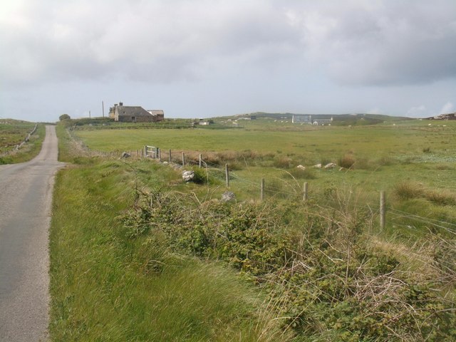
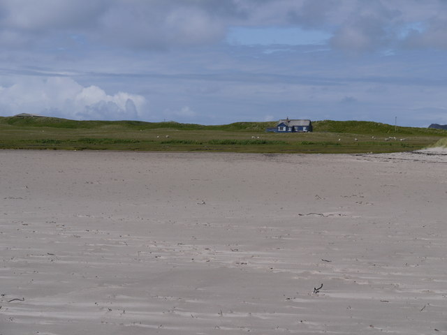
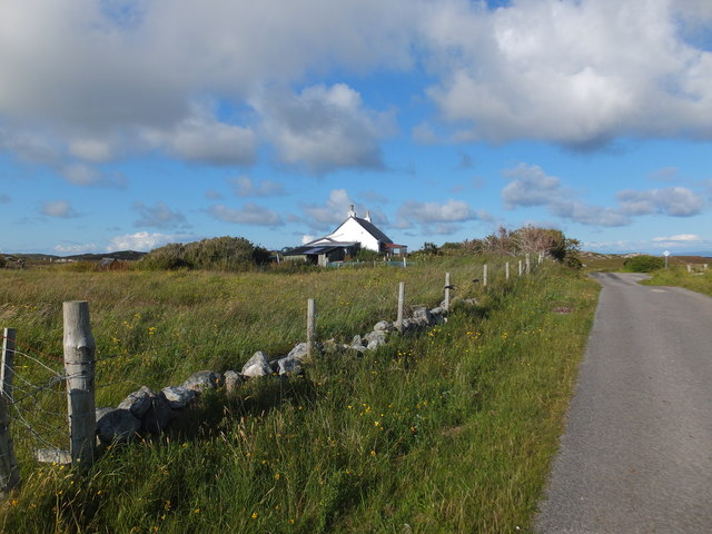
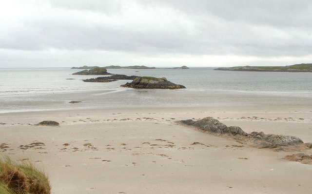
Port an t-Sruthain is a small coastal settlement located in Argyllshire, Scotland. Situated on the west coast of the country, it is renowned for its picturesque sea, estuary, and creek.

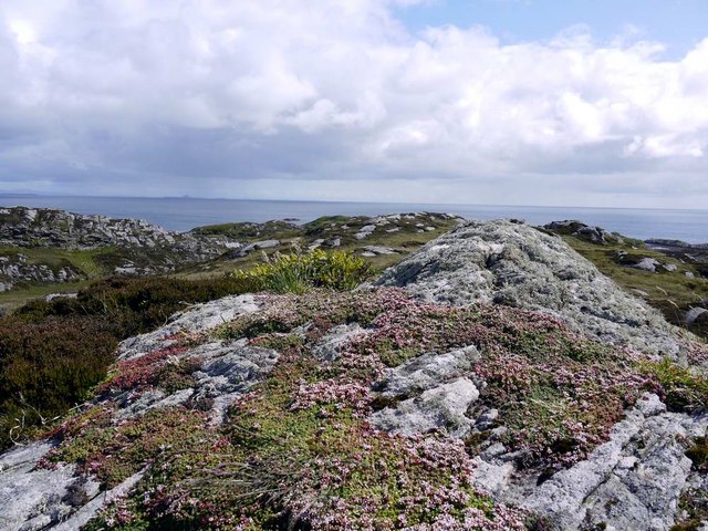
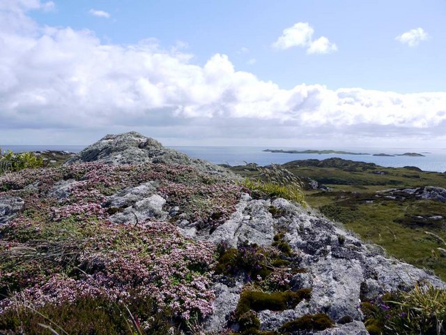
The sea surrounding Port an t-Sruthain is part of the Atlantic Ocean and offers breathtaking views of the open waters. With its crystal-clear blue hues and occasional white-capped waves, it attracts visitors and locals alike. The sea provides ample opportunities for various water activities such as sailing, fishing, and leisurely boat rides.

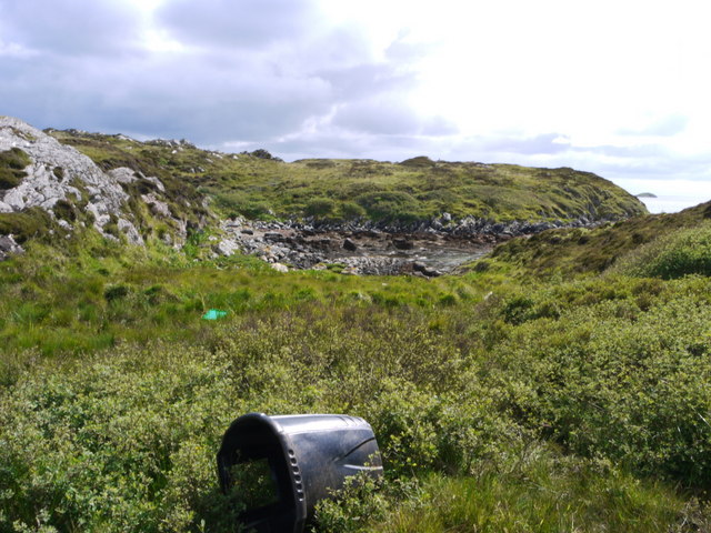
Adjacent to the sea is an estuary that meanders through the landscape, creating a unique ecosystem. The estuary is characterized by brackish water, where fresh river water meets the salty sea water, resulting in a diverse habitat for both marine and terrestrial species. It is home to a variety of bird species and is a popular spot for birdwatching enthusiasts.

Nestled within the landscape is a tranquil creek, offering a peaceful retreat for visitors seeking solitude or a quiet walk along its banks. The creek's calm waters reflect the surrounding greenery, creating a serene and picturesque setting.

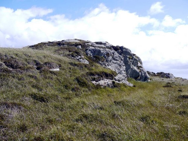
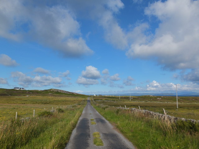
The natural beauty of Port an t-Sruthain's sea, estuary, and creek is enhanced by the rugged coastal cliffs and rolling hills that frame the landscape. This idyllic coastal settlement provides a unique opportunity for both relaxation and exploration, making it a popular destination for nature lovers and outdoor enthusiasts.

If you have any feedback on the listing, please let us know in the comments section below.

Port an t-Sruthain Images

Images are sourced within 2km of 56.584698/-6.5924417 or Grid Reference NM1853. Thanks to Geograph Open Source API. All images are credited.

Approaching Acha This placename is possibly a version of the Gaelic word "achadh", meaning "field".
Approaching Acha
This placename is possibly a version of the Gaelic word "achadh", meaning "field".
Looking south from Ceann Fasachd Looking due south, and the next bit of land is Islay.
Looking south from Ceann Fasachd
Looking due south, and the next bit of land is Islay.
Looking south-west from Ceann Fasachd The island of Soa and outlying skerries in the distance.
Looking south-west from Ceann Fasachd
The island of Soa and outlying skerries in the distance.
Small rock outcrop on Ceann Fasachd
Blue house on a silver beach At Loch Breachacha
Blue house on a silver beach
At Loch Breachacha
Inlet at the east side of Loch Breachacha
Roadside cottage near Uig, Isle of Coll
Road near Acha, Isle of Coll
Rocks on east side of Eilean Maol Mòr
Rocks on the west side of Eilean Maol Mòr
Arable land, Garden House Col machair.
Arable land, Garden House
Col machair.
Beach, Breachacha
Beach, Breachacha
Loch Breachacha This is a similar view over the loch as the castles would have enjoyed.
Loch Breachacha
This is a similar view over the loch as the castles would have enjoyed.
Near Uig Heading west on the B8070, one of not many roads on Coll.
Near Uig
Heading west on the B8070, one of not many roads on Coll.
Acha Crag and house at Acha.
Acha
Crag and house at Acha.
New house materials A house is being built somewhere up this track, north of the B8070.  For such a small island there are quite a lot of new properties being constructed.  The delivery lorry got as far as the track end before unloading the building materials.
New house materials
A house is being built somewhere up this track, north of the B8070. For such a small island there are quite a lot of new properties being constructed. The delivery lorry got as far as the track end before unloading the building materials.
Acha Mill, Coll
Acha Mill, Coll
Rocks, Loch Breachacha Looking southwards - from a position just above the sands to the north of Loch Breachacha - over a line of rocks extending from the beach into the loch. In the distance - although outside the grid square - lies the island Soa.
Rocks, Loch Breachacha
Looking southwards - from a position just above the sands to the north of Loch Breachacha - over a line of rocks extending from the beach into the loch. In the distance - although outside the grid square - lies the island Soa.
Show me another place!

Port an t-Sruthain is located at Grid Ref: NM1853 (Lat: 56.584698, Lng: -6.5924417)

Unitary Authority: Argyll and Bute

Police Authority: Argyll and West Dunbartonshire

What 3 Words

///wager.dated.nuptials. Near Arinagour, Argyll & Bute

Related Wikis

Dùn an Achaidh

Dùn an Achaidh, sometimes Anglicised as Dun Acha, is a dun located near the village of Acha on the Inner Hebridean island of Coll. It is considered the...

Acha, Coll

Acha (Gaelic: An t-Achadh, tranlsating to "The Field") is a small hamlet on the Scottish island of Coll. == References == == See also == Dùn an Achaidh...

Breachacha Castle

Breachacha Castle (also spelled Breacachadh) is either of two structures on the shore of Loch Breachacha, on the Inner Hebridean island of Coll, Scotland...

Coll Airport

Coll Island Airport (IATA: COL, ICAO: EGEL) (Scottish Gaelic: Port-adhair Cholla) is located 5 NM (9.3 km; 5.8 mi) west southwest of Arinagour on the island...

Nearby Amenities

Located within 500m of 56.584698,-6.5924417
Natural: rock
Source: OS7
Tidal: yes
Lat/Long: 56.5835137/-6.5886638
Natural: rock
Source: OS7
Tidal: yes
Lat/Long: 56.5863881/-6.5852731
Port an Fheidh
Natural: bay
Lat/Long: 56.5829273/-6.596905
The data included in this document is from www.openstreetmap.org. The data is made available under ODbL.

Have you been to Port an t-Sruthain?

Leave your review of Port an t-Sruthain below (or comments, questions and feedback).