Loch an Stroim

Sea, Estuary, Creek in Ross-shire

Scotland

Loch an Stroim

Geisiadar On Croft Number 8 - The Crofting Commission are looking to evict the tenant of this croft and destroy the woods.
Geisiadar Credit: Gus Macdonald

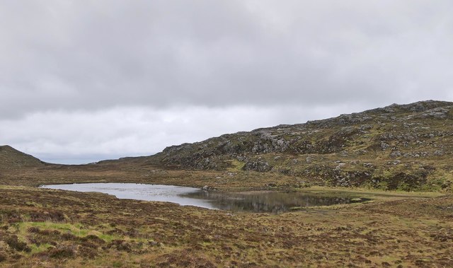
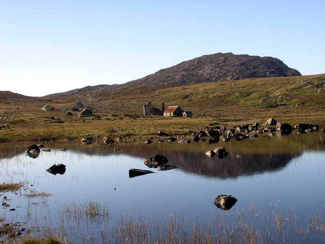
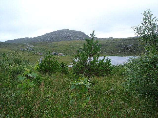
Loch an Stroim is a picturesque body of water located in the county of Ross-shire, Scotland. Nestled between the rolling hills and stunning landscape of the Scottish Highlands, this natural wonder is known for its unique blend of sea, estuary, and creek characteristics.

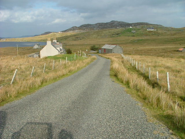
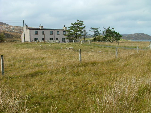
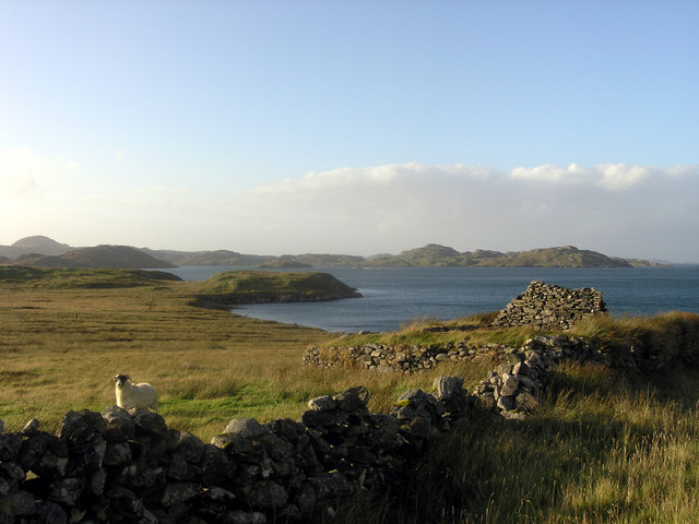
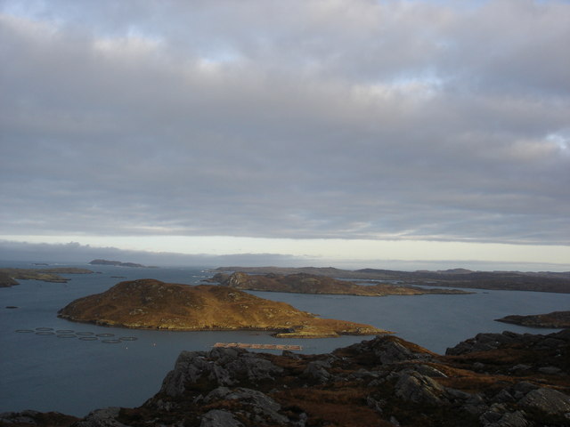
Situated near the village of Inver, Loch an Stroim stretches approximately 2 miles in length, with a maximum width of around half a mile. Its waters are primarily influenced by the nearby sea, as it is connected to the North Atlantic Ocean through a narrow channel. This connection allows for the exchange of saltwater, resulting in a brackish environment within the loch.

Due to its geographical features, Loch an Stroim also functions as an estuary, with the nearby river contributing freshwater to the mix. This creates a diverse ecosystem that supports a wide range of plant and animal life. Various species of fish, such as salmon and trout, can be found in its waters, making it a popular spot for anglers.

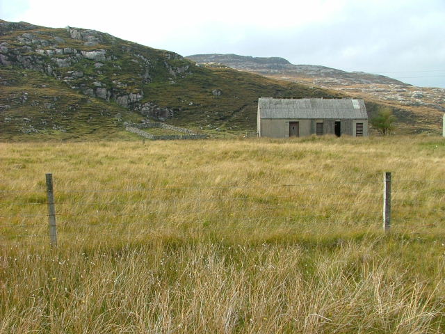
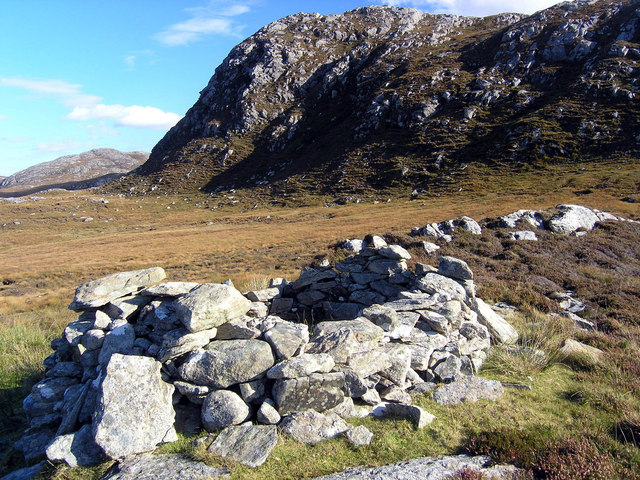
The surrounding landscape of Loch an Stroim is characterized by lush greenery, with the hills providing a stunning backdrop. The calm and serene atmosphere of the loch attracts visitors seeking tranquility or those interested in exploring the natural beauty of the Scottish Highlands.

Overall, Loch an Stroim is a remarkable blend of sea, estuary, and creek, offering a unique and captivating experience for those who venture to its shores.

If you have any feedback on the listing, please let us know in the comments section below.

Loch an Stroim Images

Images are sourced within 2km of 58.182103/-6.8844977 or Grid Reference NB1231. Thanks to Geograph Open Source API. All images are credited.

Geisiadar On Croft Number 8 - The Crofting Commission are looking to evict the tenant of this croft and destroy the woods.
Geisiadar
On Croft Number 8 - The Crofting Commission are looking to evict the tenant of this croft and destroy the woods.
Dam on Loch Mòr na Muilne, Isle of Lewis The name of the loch means large loch of the mill.  The outflow controlled by the dam flows into Loch Beag na Muilne (small loch of the mill).  This lower loch supplied water to the mill shown at <a href="https://www.geograph.org.uk/photo/1522799">NB1229 : Mill Ruins at Ungaisidar</a>.
Dam on Loch Mòr na Muilne, Isle of Lewis
The name of the loch means large loch of the mill. The outflow controlled by the dam flows into Loch Beag na Muilne (small loch of the mill). This lower loch supplied water to the mill shown at NB1229 : Mill Ruins at Ungaisidar.
Loch Mòr na Muilne, Isle of Lewis Loch Mòr na Muilne means large loch of the mill. The outflow from the loch flows into Loch Beag na Muilne (small loch of the mill). This lower loch supplied water to the mill shown at <a href="https://www.geograph.org.uk/photo/1522799">NB1229 : Mill Ruins at Ungaisidar</a>.
Loch Mòr na Muilne, Isle of Lewis
Loch Mòr na Muilne means large loch of the mill. The outflow from the loch flows into Loch Beag na Muilne (small loch of the mill). This lower loch supplied water to the mill shown at NB1229 : Mill Ruins at Ungaisidar.
Croft at Geisiadar Sgrithir is the hill beyond. The loch to the left is Loch Geisiadar.
Croft at Geisiadar
Sgrithir is the hill beyond. The loch to the left is Loch Geisiadar.
Croft Building In the settlement of Geisiadar.
Croft Building
In the settlement of Geisiadar.
Crofthouse in Geisiadar. Or Crofthouses? It was hard to distinguish whether it was one house or two.
Crofthouse in Geisiadar.
Or Crofthouses? It was hard to distinguish whether it was one house or two.
Shieling at the head of Loch Strome Ruined shieling (Airigh nan Carn) with the remains of the township of Strome on the water's edge, and the hill Stromacleit behind.
Shieling at the head of Loch Strome
Ruined shieling (Airigh nan Carn) with the remains of the township of Strome on the water's edge, and the hill Stromacleit behind.
Village of Strome Ruined blackhouses in the village of Strome at the head of Loch Strome.
Village of Strome
Ruined blackhouses in the village of Strome at the head of Loch Strome.
Loch Strome Ruins in the deserted village of Strome, looking down Loch Strome towards Loch Roag.
Loch Strome
Ruins in the deserted village of Strome, looking down Loch Strome towards Loch Roag.
Shieling below Sron Mhor Ruined shieling near Strome.
Shieling below Sron Mhor
Ruined shieling near Strome.
Cliatasay On the island of Cliatasay in Loch Roag, on the site of a kelp kiln.  Vuia Mhor is visible in the distance.  The Geshader crofters used to graze their bull on this island.
Cliatasay
On the island of Cliatasay in Loch Roag, on the site of a kelp kiln. Vuia Mhor is visible in the distance. The Geshader crofters used to graze their bull on this island.
Cliatasay Natural landing stage on the island of Cliatasay in Loch Roag, used for the manufacture of potash from kelp in the early 19th century.  Vuia Mhor in the distance.
Cliatasay
Natural landing stage on the island of Cliatasay in Loch Roag, used for the manufacture of potash from kelp in the early 19th century. Vuia Mhor in the distance.
Cliatasay The rather featureless west-side of Cliatasay in Loch Roag; evidence of an old peat-cutting.
Cliatasay
The rather featureless west-side of Cliatasay in Loch Roag; evidence of an old peat-cutting.
Loch Geshader Looking towards crofts 3 and 4; the hill is Seabhal
Loch Geshader
Looking towards crofts 3 and 4; the hill is Seabhal
Croft at 10 Geshader On Loch Roag, looking towards Reef
Croft at 10 Geshader
On Loch Roag, looking towards Reef
Geisiadar woods Native woods in Geisiadar on An t-Seoc's croft
Geisiadar woods
Native woods in Geisiadar on An t-Seoc's croft
Taigh "An Candy" Geisiadar A' cuimeal suil air an aimsir ann an Loch a Rog mar seana bhodach.  Tha an tigh seo iontach mar a tha e sealltain ris an taobh Tuath agaus chan eil uineagan sam bith far a bheil soluis an latha a'tighinn f'on an taobh Deas! Ach coimhead ris an clachaireachd breagha anns na ballaichean aige [Keeping an eye on the weather in Loch Ròg, like an old man. This house is unusual in the way it faces north, and there are no windows at all on the south where the daylight would come in!  But just look at the fine masonry in its walls].
Taigh "An Candy" Geisiadar
A' cuimeal suil air an aimsir ann an Loch a Rog mar seana bhodach. Tha an tigh seo iontach mar a tha e sealltain ris an taobh Tuath agaus chan eil uineagan sam bith far a bheil soluis an latha a'tighinn f'on an taobh Deas! Ach coimhead ris an clachaireachd breagha anns na ballaichean aige [Keeping an eye on the weather in Loch Ròg, like an old man. This house is unusual in the way it faces north, and there are no windows at all on the south where the daylight would come in! But just look at the fine masonry in its walls].
Mullach Sgrithir Eileanan Loch Rog bho mullach Sgrithir.  The islands of Loch Roag from the top of Sgrithir (pronounced Skreeher).  The islands are Bhuaigh Beag, Bhuaigh Mor, Great Bernera to the right and on the horizon The Old Hill and Berisay.
Mullach Sgrithir
Eileanan Loch Rog bho mullach Sgrithir. The islands of Loch Roag from the top of Sgrithir (pronounced Skreeher). The islands are Bhuaigh Beag, Bhuaigh Mor, Great Bernera to the right and on the horizon The Old Hill and Berisay.
Show me another place!

Loch an Stroim is located at Grid Ref: NB1231 (Lat: 58.182103, Lng: -6.8844977)

Unitary Authority: Na h-Eileanan an Iar

Police Authority: Highlands and Islands

What 3 Words

///spare.outwit.fuses. Near Carloway, Na h-Eileanan Siar

Related Wikis

Fuaigh Beag

Fuaigh Beag or Vuia Be(a)g is an island in the Outer Hebrides. It is off the west coast of Lewis near Great Bernera in Loch Roag. Its name means "little...

Loch Ròg

Loch Ròg or Loch Roag is a large sea loch on the west coast of Lewis, Outer Hebrides. It is broadly divided into East Loch Roag and West Loch Roag with...

Flodaigh, Lewis

Flodaigh is a small island in Loch Roag on the west coast of Lewis in the Outer Hebrides of Scotland. It is about 33 hectares (82 acres) in extent and...

Fuaigh Mòr

Fuaigh Mòr (sometimes anglicised as Vuia Mor) is an island in the Outer Hebrides of Scotland. It is off the west coast of Lewis near Great Bernera in...

Nearby Amenities

Located within 500m of 58.182103,-6.8844977
Port Ganstotal
Natural: bay
Lat/Long: 58.1825844/-6.8927493
The data included in this document is from www.openstreetmap.org. The data is made available under ODbL.

Have you been to Loch an Stroim?

Leave your review of Loch an Stroim below (or comments, questions and feedback).