Rubha an Tòb Inich

Coastal Marsh, Saltings in Ross-shire

Scotland

Rubha an Tòb Inich

Cairn, Druim Sandavig, Isle of Lewis This is one of several similarly shaped cairns in the area.  See also <a href="https://www.geograph.org.uk/photo/6205869">NB1229 : Cairn, Druim Sandavig, Isle of Lewis</a>.
Cairn, Druim Sandavig, Isle of Lewis Credit: Claire Pegrum

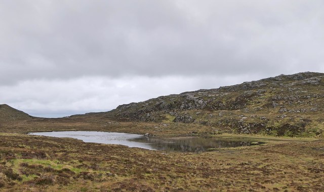
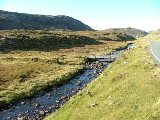
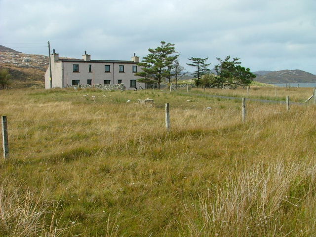
Rubha an Tòb Inich is a coastal marsh and saltings located in Ross-shire, Scotland. Situated on the eastern shore of Loch Ewe, it covers an area of approximately 60 hectares. The site is designated as a Special Protection Area (SPA) and a Site of Special Scientific Interest (SSSI) due to its importance for birdlife and its unique coastal habitat.

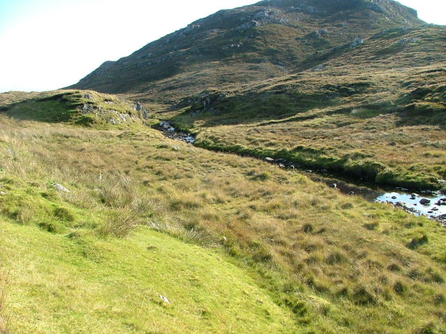
The marsh is characterized by its variety of plant species, including saltmarsh grasses, sedges, and rushes. These plants create an intricate network of channels and pools, which are influenced by the tidal movements of the nearby sea. The marsh acts as an important feeding ground and breeding site for a wide range of bird species, attracting both resident and migratory birds.

Rubha an Tòb Inich is particularly renowned for its birdlife, with notable species including the common redshank, Eurasian curlew, northern lapwing, and common snipe. The marsh provides an ideal environment for these birds to forage for food, nest, and rear their young. It also serves as a stopover point for migratory birds, offering them a place to rest and refuel during their long journeys.

In addition to its avian inhabitants, the marsh is also home to a diverse range of other wildlife, including otters, seals, and various fish species. The surrounding coastline and nearby sea provide further habitat for marine life, contributing to the overall biodiversity of the area.

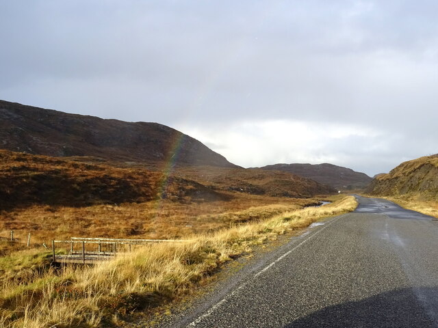
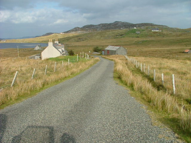
Rubha an Tòb Inich is not only a haven for wildlife but also a popular destination for nature enthusiasts and birdwatchers. Its stunning coastal scenery, rich biodiversity, and tranquil atmosphere make it a valuable and cherished natural site in Ross-shire.

If you have any feedback on the listing, please let us know in the comments section below.

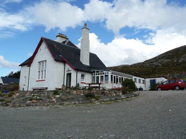
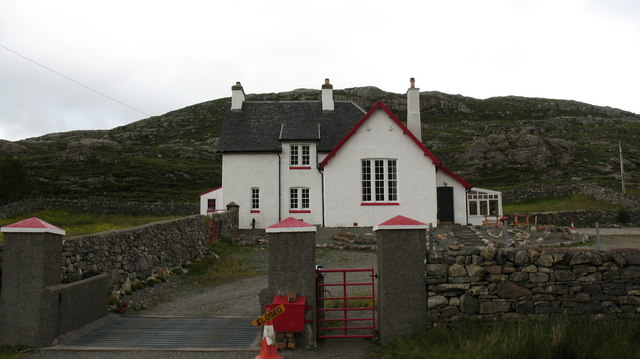
Rubha an Tòb Inich Images

Images are sourced within 2km of 58.179774/-6.890087 or Grid Reference NB1231. Thanks to Geograph Open Source API. All images are credited.

Cairn, Druim Sandavig, Isle of Lewis This is one of several similarly shaped cairns in the area.  See also <a href="https://www.geograph.org.uk/photo/6205869">NB1229 : Cairn, Druim Sandavig, Isle of Lewis</a>.
Cairn, Druim Sandavig, Isle of Lewis
This is one of several similarly shaped cairns in the area. See also NB1229 : Cairn, Druim Sandavig, Isle of Lewis.
Cairn, Druim Sandavig, Isle of Lewis This is one of several similarly shaped cairns in the area.  See also <a href="https://www.geograph.org.uk/photo/6205867">NB1129 : Cairn, Druim Sandavig, Isle of Lewis</a>.
Cairn, Druim Sandavig, Isle of Lewis
This is one of several similarly shaped cairns in the area. See also NB1129 : Cairn, Druim Sandavig, Isle of Lewis.
Disused Croft Buildings Ungisiadar.
Disused Croft Buildings
Ungisiadar.
No 1 Ungaisidar A one-time croft and subsequent holiday cottage this property now appears to be inhabited. However, the access by track seems no better with the final few hundred metres being by foot only.
No 1 Ungaisidar
A one-time croft and subsequent holiday cottage this property now appears to be inhabited. However, the access by track seems no better with the final few hundred metres being by foot only.
Café in old school An excellently positioned little café in a former school building, provided us with welcome sustenance as we were beginning to wonder where we'd find to get a bite to eat. Once inside, it is obvious that this used to be a school, but I don't know how long ago it ceased to be one.
The hill rising up behind is Seabhal.
Café in old school
An excellently positioned little café in a former school building, provided us with welcome sustenance as we were beginning to wonder where we'd find to get a bite to eat. Once inside, it is obvious that this used to be a school, but I don't know how long ago it ceased to be one. The hill rising up behind is Seabhal.
Geisiadar On Croft Number 8 - The Crofting Commission are looking to evict the tenant of this croft and destroy the woods.
Geisiadar
On Croft Number 8 - The Crofting Commission are looking to evict the tenant of this croft and destroy the woods.
Dam on Loch Mòr na Muilne, Isle of Lewis The name of the loch means large loch of the mill.  The outflow controlled by the dam flows into Loch Beag na Muilne (small loch of the mill).  This lower loch supplied water to the mill shown at <a href="https://www.geograph.org.uk/photo/1522799">NB1229 : Mill Ruins at Ungaisidar</a>.
Dam on Loch Mòr na Muilne, Isle of Lewis
The name of the loch means large loch of the mill. The outflow controlled by the dam flows into Loch Beag na Muilne (small loch of the mill). This lower loch supplied water to the mill shown at NB1229 : Mill Ruins at Ungaisidar.
Loch Mòr na Muilne, Isle of Lewis Loch Mòr na Muilne means large loch of the mill. The outflow from the loch flows into Loch Beag na Muilne (small loch of the mill). This lower loch supplied water to the mill shown at <a href="https://www.geograph.org.uk/photo/1522799">NB1229 : Mill Ruins at Ungaisidar</a>.
Loch Mòr na Muilne, Isle of Lewis
Loch Mòr na Muilne means large loch of the mill. The outflow from the loch flows into Loch Beag na Muilne (small loch of the mill). This lower loch supplied water to the mill shown at NB1229 : Mill Ruins at Ungaisidar.
A hint of a rainbow by Abhainn Mhòr a Ghlinne Ruaidh Just cross the footbridge and you are at the end of the rainbow (now where's my shovel!).
A hint of a rainbow by Abhainn Mhòr a Ghlinne Ruaidh
Just cross the footbridge and you are at the end of the rainbow (now where's my shovel!).
Former school, West Lewis. Centrally situated between the crofting communities of Cairisaidar, Geisiadar and Einacleite, this building once served as the local school. Teas and refreshments are now served here, but not on Sundays.
Former school, West Lewis.
Centrally situated between the crofting communities of Cairisaidar, Geisiadar and Einacleite, this building once served as the local school. Teas and refreshments are now served here, but not on Sundays.
Bridge on the Abhainn Mhor à  Ghlinne Ruaidh Looking north.
Bridge on the Abhainn Mhor à Ghlinne Ruaidh
Looking north.
Abhainn Mhor à  Ghlinne Ruaidh Looking south.The slopes of Oileasail in the background.
Abhainn Mhor à Ghlinne Ruaidh
Looking south.The slopes of Oileasail in the background.
Croft at Geisiadar Sgrithir is the hill beyond. The loch to the left is Loch Geisiadar.
Croft at Geisiadar
Sgrithir is the hill beyond. The loch to the left is Loch Geisiadar.
Croft Building In the settlement of Geisiadar.
Croft Building
In the settlement of Geisiadar.
Crofthouse in Geisiadar. Or Crofthouses? It was hard to distinguish whether it was one house or two.
Crofthouse in Geisiadar.
Or Crofthouses? It was hard to distinguish whether it was one house or two.
Shieling at the head of Loch Strome Ruined shieling (Airigh nan Carn) with the remains of the township of Strome on the water's edge, and the hill Stromacleit behind.
Shieling at the head of Loch Strome
Ruined shieling (Airigh nan Carn) with the remains of the township of Strome on the water's edge, and the hill Stromacleit behind.
Village of Strome Ruined blackhouses in the village of Strome at the head of Loch Strome.
Village of Strome
Ruined blackhouses in the village of Strome at the head of Loch Strome.
Loch Strome Ruins in the deserted village of Strome, looking down Loch Strome towards Loch Roag.
Loch Strome
Ruins in the deserted village of Strome, looking down Loch Strome towards Loch Roag.
Show me another place!

Rubha an Tòb Inich is located at Grid Ref: NB1231 (Lat: 58.179774, Lng: -6.890087)

Unitary Authority: Na h-Eileanan an Iar

Police Authority: Highlands and Islands

What 3 Words

///mastering.prone.broom. Near Carloway, Na h-Eileanan Siar

Related Wikis

Fuaigh Beag

Fuaigh Beag or Vuia Be(a)g is an island in the Outer Hebrides. It is off the west coast of Lewis near Great Bernera in Loch Roag. Its name means "little...

Loch Ròg

Loch Ròg or Loch Roag is a large sea loch on the west coast of Lewis, Outer Hebrides. It is broadly divided into East Loch Roag and West Loch Roag with...

Flodaigh, Lewis

Flodaigh is a small island in Loch Roag on the west coast of Lewis in the Outer Hebrides of Scotland. It is about 33 hectares (82 acres) in extent and...

Fuaigh Mòr

Fuaigh Mòr (sometimes anglicised as Vuia Mor) is an island in the Outer Hebrides of Scotland. It is off the west coast of Lewis near Great Bernera in...

Nearby Amenities

Located within 500m of 58.179774,-6.890087
Port Ganstotal
Natural: bay
Lat/Long: 58.1825844/-6.8927493
Ganstotal
Place: locality
Lat/Long: 58.1813654/-6.8936264
The data included in this document is from www.openstreetmap.org. The data is made available under ODbL.

Have you been to Rubha an Tòb Inich?

Leave your review of Rubha an Tòb Inich below (or comments, questions and feedback).