Cairidh Mhòr

Sea, Estuary, Creek in Inverness-shire

Scotland

Cairidh Mhòr

Junction on the path to Aird Horragaigh, South Uist From the end of the tarred road, an excellent grass track heads south. Although it deteriorates a little, it still makes a great afternoon walk.
Junction on the path to Aird Horragaigh, South Uist Credit: AlastairG

Cairidh Mhòr is a small coastal area located in Inverness-shire, Scotland. Situated along the Sea, Estuary, and Creek, it offers a picturesque landscape defined by its stunning natural beauty and diverse ecosystems.

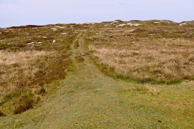
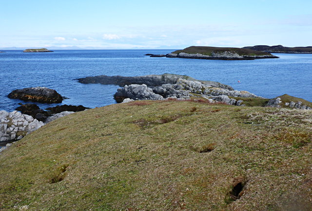
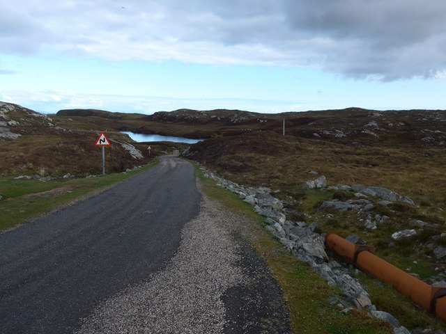
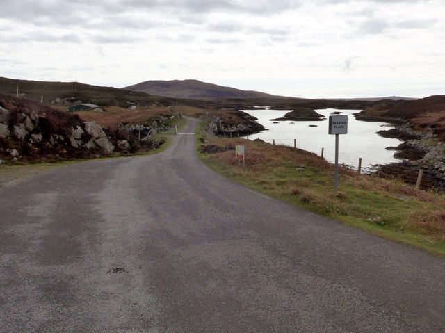
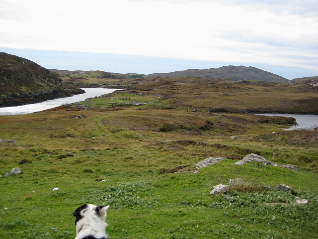
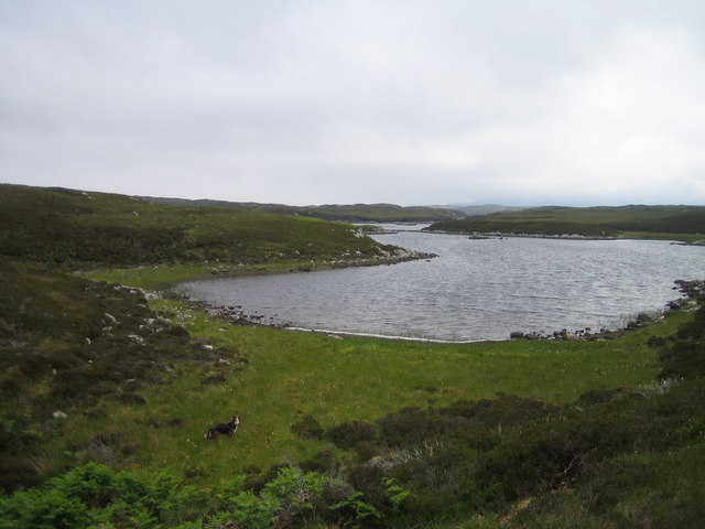
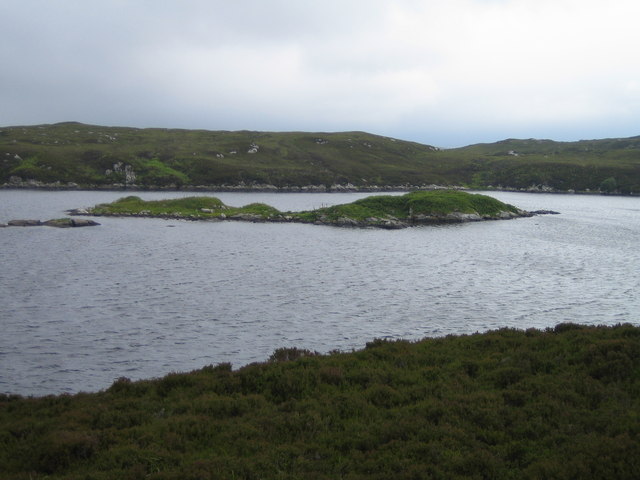
The area is characterized by its rugged coastline, which stretches for several miles, providing breathtaking views of the sea and the surrounding cliffs. The coastline is home to various species of seabirds, including gulls and cormorants, which can often be spotted nesting on the cliffs or diving into the water in search of fish.

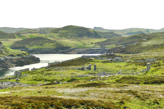
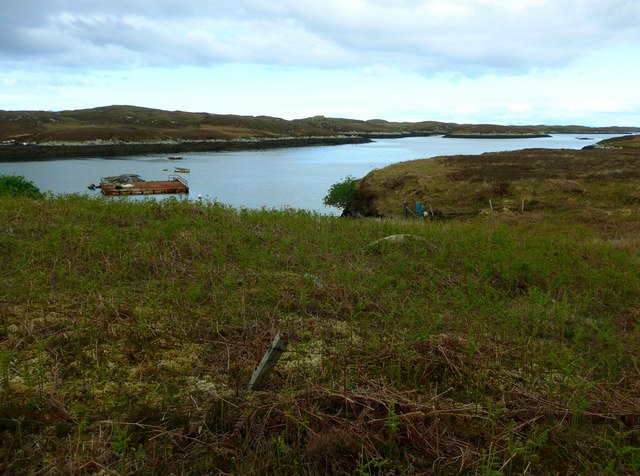
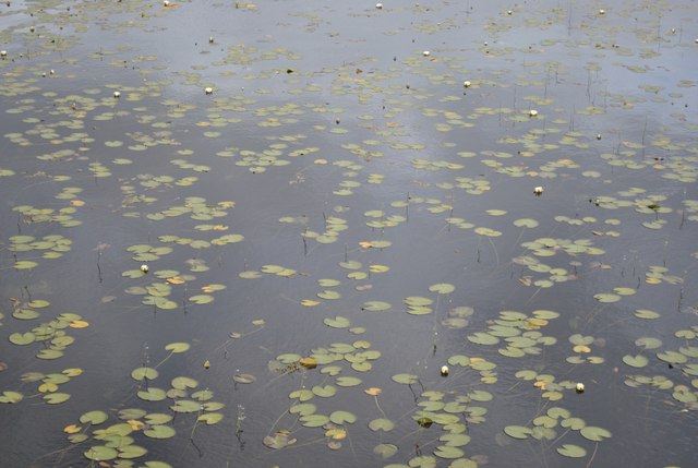
The estuary in Cairidh Mhòr is formed by the convergence of several rivers, creating a unique and dynamic ecosystem. The estuarine waters serve as a habitat for a wide range of marine life, including seals, dolphins, and porpoises. It is also an important breeding ground for various species of fish, making it a popular spot for anglers.

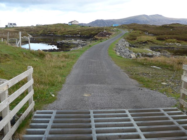
In addition to its coastal features, Cairidh Mhòr is also known for its tranquil creek. The creek meanders through the area, providing a calm and peaceful environment for visitors to enjoy. The creek is lined with lush vegetation, including reeds and grasses, which offer a haven for numerous species of birds and other wildlife.

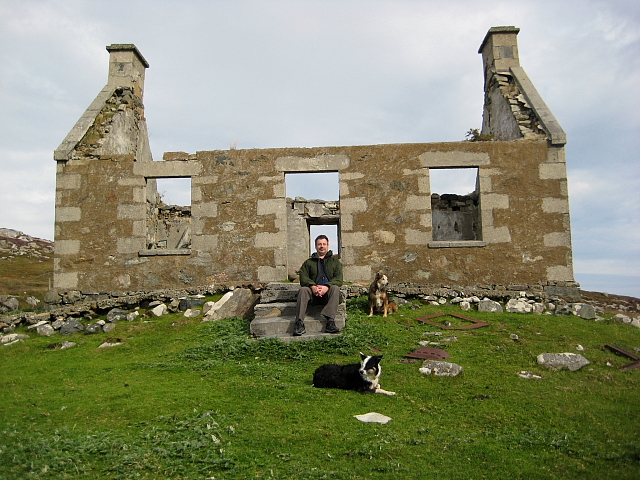
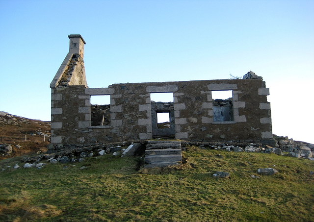
Cairidh Mhòr is a haven for nature enthusiasts, offering opportunities for birdwatching, fishing, and leisurely walks along the coast. Its unique blend of sea, estuary, and creek provides a diverse and vibrant environment that showcases the natural wonders of Inverness-shire.

If you have any feedback on the listing, please let us know in the comments section below.

Cairidh Mhòr Images

Images are sourced within 2km of 57.350068/-7.2625335 or Grid Reference NF8341. Thanks to Geograph Open Source API. All images are credited.

Junction on the path to Aird Horragaigh, South Uist From the end of the tarred road, an excellent grass track heads south. Although it deteriorates a little, it still makes a great afternoon walk.
Junction on the path to Aird Horragaigh, South Uist
From the end of the tarred road, an excellent grass track heads south. Although it deteriorates a little, it still makes a great afternoon walk.
Schoolmaster's house, East Gerinish Standing on the hillside near a ruined croft, the schoolmaster's house would have had a commanding view over the school below.  <a href="https://www.geograph.org.uk/photo/7514077">NF8339 : View of East Gerinish school from the schoolmaster's house</a>
Schoolmaster's house, East Gerinish
Standing on the hillside near a ruined croft, the schoolmaster's house would have had a commanding view over the school below. NF8339 : View of East Gerinish school from the schoolmaster's house
View of East Gerinish school from the schoolmaster's house The schoolmaster would have missed nothing from this viewpoint.  <a href="https://www.geograph.org.uk/photo/7514071">NF8339 : Schoolmaster's house, East Gerinish</a> The three pillars on the right on the school 'enclosure' frame the girls' and boys' gates.  <a href="https://www.geograph.org.uk/photo/7514055">NF8339 : 19th century East Gerinish school at Aird Horragaigh</a>
View of East Gerinish school from the schoolmaster's house
The schoolmaster would have missed nothing from this viewpoint. NF8339 : Schoolmaster's house, East Gerinish The three pillars on the right on the school 'enclosure' frame the girls' and boys' gates. NF8339 : 19th century East Gerinish school at Aird Horragaigh
Eilean Mhic'ille Phadruig I think the burrows are puffin nests.
Eilean Mhic'ille Phadruig
I think the burrows are puffin nests.
Loch Carnan Power Station Commissioned in 1971;  diesel powered and with a capacity of 11.8MW
Loch Carnan Power Station
Commissioned in 1971; diesel powered and with a capacity of 11.8MW
On the road to Caolas Liubharsaigh
On the road to Caolas Liubharsaigh That's salt water on the right (always difficult to be certain in the Uists!).
On the road to Caolas Liubharsaigh
That's salt water on the right (always difficult to be certain in the Uists!).
Loch Sheileabhaig A salt-water sea loch.
Loch Sheileabhaig
A salt-water sea loch.
Cattle grid on the road to Caolas Liubharsaigh
Bagh a Mhanaich Bagh a Mhanaich and the site of the old school house (in the middle distance along side the water).
Bagh a Mhanaich
Bagh a Mhanaich and the site of the old school house (in the middle distance along side the water).
Ruined Croft House Overlooking the site of the school house. There are several older ruins just to the north.
Ruined Croft House
Overlooking the site of the school house. There are several older ruins just to the north.
Wild lilies on lake near Loch Skiport
Continuing Collapse The storms of December 2013 have robbed this ruin of its southern gable end.
See <a href="https://www.geograph.org.uk/photo/2593729">NF8339 : Ruined Croft House</a>
Continuing Collapse
The storms of December 2013 have robbed this ruin of its southern gable end. See NF8339 : Ruined Croft House
Loch Caslub A small bay at the western end of this brackish loch.
Loch Caslub
A small bay at the western end of this brackish loch.
Loch Caslub Islands in the centre section of loch Caslub.
Loch Caslub
Islands in the centre section of loch Caslub.
Sandavaig Quayside Small port facility on the NE coast of South Uist.
Sandavaig Quayside
Small port facility on the NE coast of South Uist.
Sandavaig Power Station Small power station close to the shore, generating power from diesel fuel which is supplied from Grangemouth.
Sandavaig Power Station
Small power station close to the shore, generating power from diesel fuel which is supplied from Grangemouth.
Thin Loch near Tholmair. Just one of the hundreds of lochs on South Uist. This one is only just above sea level and seems to be named as 'Caslub'. [shown on OS map]
Thin Loch near Tholmair.
Just one of the hundreds of lochs on South Uist. This one is only just above sea level and seems to be named as 'Caslub'. [shown on OS map]
Show me another place!

Cairidh Mhòr is located at Grid Ref: NF8341 (Lat: 57.350068, Lng: -7.2625335)

Unitary Authority: Na h-Eileanan an Iar

Police Authority: Highlands and Islands

What 3 Words

///polygraph.shows.starfish. Near Balivanich, Na h-Eileanan Siar

Related Wikis

Eilean na Cille

Eilean na Cille, south east of Benbecula is an island of the Outer Hebrides connected to Grimsay (South) by a causeway which carries the B891. The road...

Loch Druidibeg

Loch Druidibeag is a freshwater loch situated on the island of South Uist, in the Outer Hebrides of Scotland. The loch is near the northern end of the...

Carnan (townland)

Carnan is a townland in County Tyrone, Northern Ireland. It is situated in the historic barony of Dungannon Upper and the civil parish of Arboe and covers...

Our Lady of the Isles

Our Lady of the Isles (Gaelic: Moire ro Naomh nan Eilean or Bana Thighearna nan Eilean) is a sculpture of the Madonna and Child, on South Uist in the Outer...

Nearby Amenities

Located within 500m of 57.350068,-7.2625335
Turning Circle
Lat/Long: 57.3529345/-7.2598918
Caltanais
Place: hamlet
Lat/Long: 57.3528223/-7.2654519
The data included in this document is from www.openstreetmap.org. The data is made available under ODbL.

Have you been to Cairidh Mhòr?

Leave your review of Cairidh Mhòr below (or comments, questions and feedback).