Rubha Buidhe
Coastal Feature, Headland, Point in Inverness-shire
Scotland
Rubha Buidhe
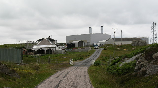
Rubha Buidhe is a prominent coastal feature located in Inverness-shire, Scotland. This headland, also known as Rubha Bhuidhe, is situated on the western coast of the Highlands, approximately 10 miles north of Kyle of Lochalsh.
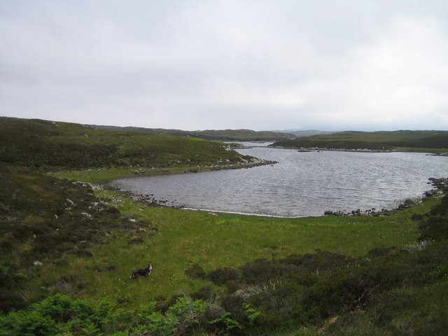
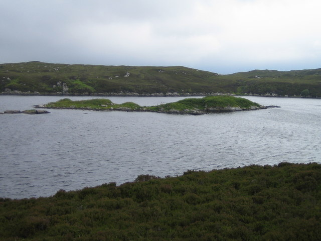
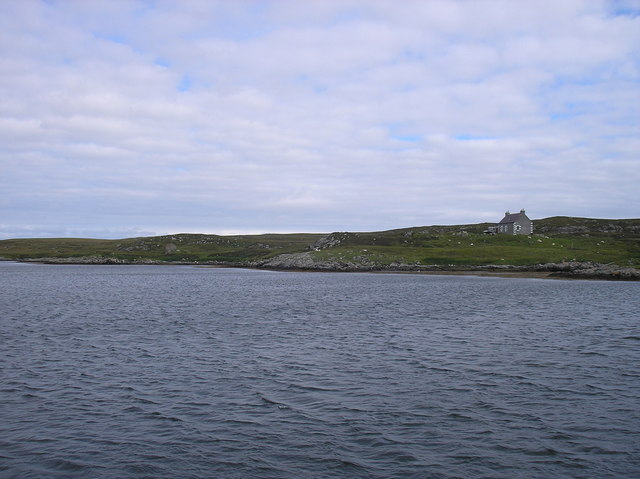
Characterized by its rugged cliffs and stunning panoramic views, Rubha Buidhe juts out into the North Atlantic Ocean, forming a distinctive point that attracts both locals and tourists alike. The headland is known for its unspoiled natural beauty and is a popular spot for outdoor enthusiasts, hikers, and photographers.
The rocky cliffs of Rubha Buidhe reach a height of around 100 meters, providing a dramatic backdrop to the crashing waves below. The headland offers breathtaking vistas of the surrounding coastline, with views extending towards the Isle of Skye and the Inner Hebrides.
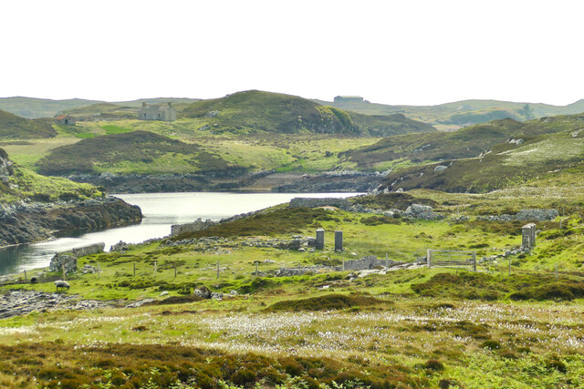
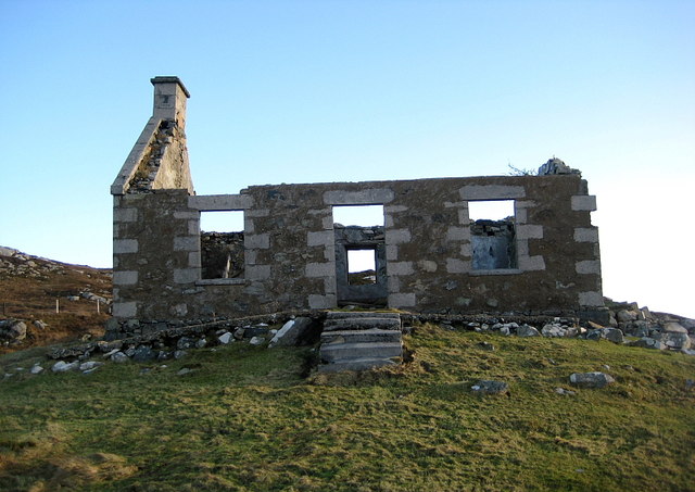
In addition to its natural charm, Rubha Buidhe holds historical significance. The area is known to have been inhabited since ancient times, with evidence of ancient settlements and burial sites discovered in the vicinity. Visitors can explore these archaeological remnants and gain insight into the region's past.
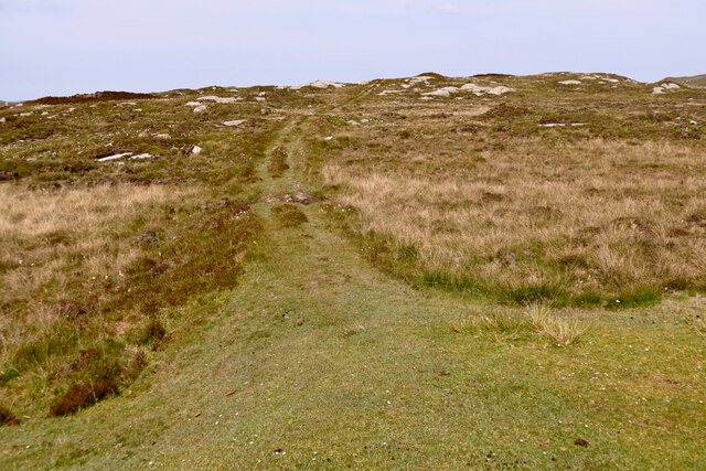
Access to Rubha Buidhe is relatively easy, with a well-maintained footpath leading to the headland. The path meanders through picturesque landscapes, including heather-covered moorland and coastal grasslands, providing an enjoyable journey to the destination.
Overall, Rubha Buidhe is a remarkable coastal feature that offers a captivating blend of natural beauty, historical significance, and recreational opportunities. Whether for a leisurely hike, a photography expedition, or a moment of tranquility amidst stunning surroundings, this headland is a must-visit destination for anyone exploring Inverness-shire's coastal treasures.
If you have any feedback on the listing, please let us know in the comments section below.
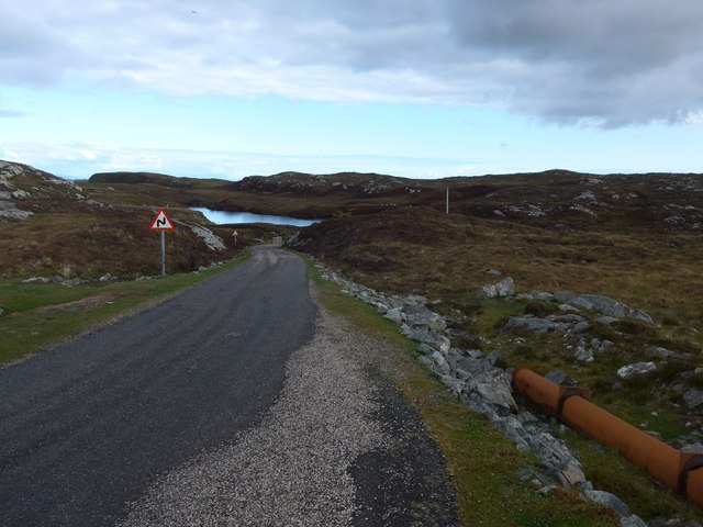
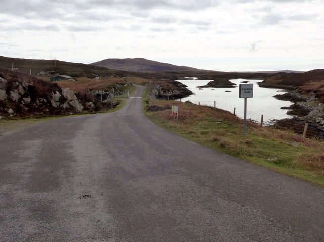
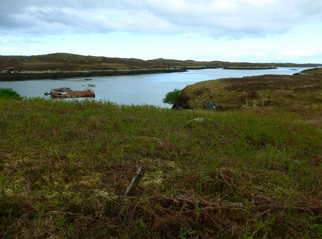
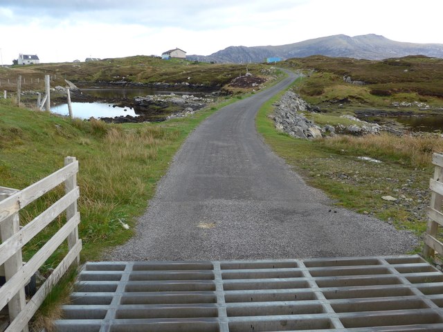
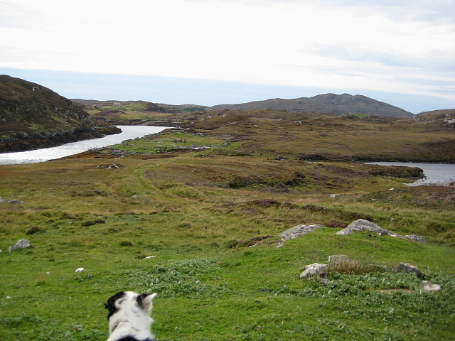
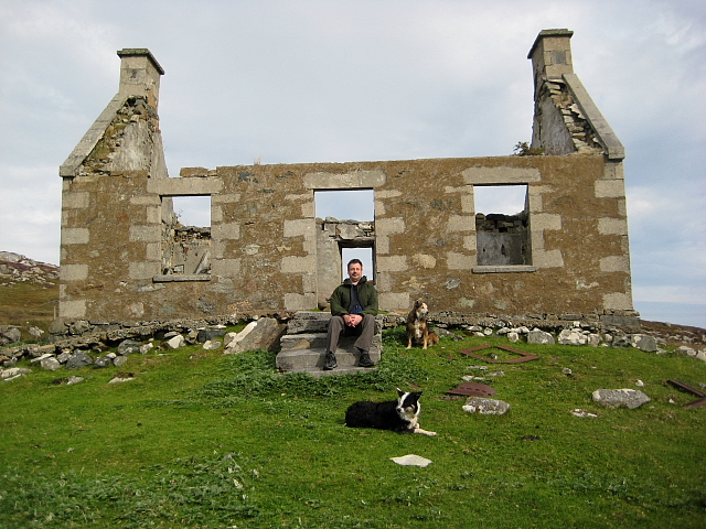
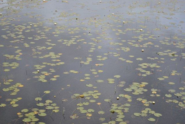
Rubha Buidhe Images
Images are sourced within 2km of 57.349638/-7.2693469 or Grid Reference NF8341. Thanks to Geograph Open Source API. All images are credited.

Rubha Buidhe is located at Grid Ref: NF8341 (Lat: 57.349638, Lng: -7.2693469)
Unitary Authority: Na h-Eileanan an Iar
Police Authority: Highlands and Islands
What 3 Words
///wicket.serenade.wakes. Near Balivanich, Na h-Eileanan Siar
Nearby Locations
Related Wikis

Eilean na Cille
Eilean na Cille, south east of Benbecula is an island of the Outer Hebrides connected to Grimsay (South) by a causeway which carries the B891. The road...

Loch Druidibeg
Loch Druidibeag is a freshwater loch situated on the island of South Uist, in the Outer Hebrides of Scotland. The loch is near the northern end of the...

Carnan (townland)
Carnan is a townland in County Tyrone, Northern Ireland. It is situated in the historic barony of Dungannon Upper and the civil parish of Arboe and covers...

Our Lady of the Isles
Our Lady of the Isles (Gaelic: Moire ro Naomh nan Eilean or Bana Thighearna nan Eilean) is a sculpture of the Madonna and Child, on South Uist in the Outer...

South Uist Machair and Lochs
The South Uist Machair and Lochs is a protected wetland area on the west coast of South Uist in the Outer Hebrides of Scotland. A total of 5,019 hectares...

Grimsay (South East Benbecula)
Grimsay, south east of Benbecula is a tidal island of the Outer Hebrides. It is connected to Benbecula by a causeway which carries the B891. In the 2001...

Hecla (South Uist)
Hecla or Thacla is a mountain on the island of South Uist in the Outer Hebrides of Scotland. With a height of 606 metres (1,988 ft), it is the second-highest...

Loch Bee
Loch Bì, sometimes anglicised as Loch Bee, is the largest loch on the island of South Uist in the Outer Hebrides of Scotland. It lies at the northern end...
Related Videos

The Shieling by the Bay, South Uist Iuter Hebrides of Scotland and St Kilda
Images of The Shieling by the Bay, Outer Hebrides Holiday Cottage, The Isle of South Uist and St Kilda.
Nearby Amenities
Located within 500m of 57.349638,-7.2693469Have you been to Rubha Buidhe?
Leave your review of Rubha Buidhe below (or comments, questions and feedback).