Sloc Dubh
Sea, Estuary, Creek in Inverness-shire
Scotland
Sloc Dubh
The requested URL returned error: 429 Too Many Requests
If you have any feedback on the listing, please let us know in the comments section below.
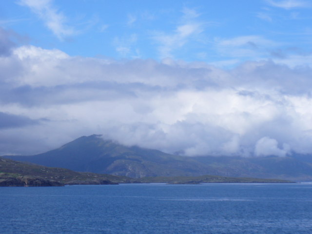
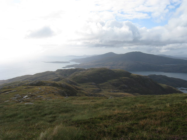
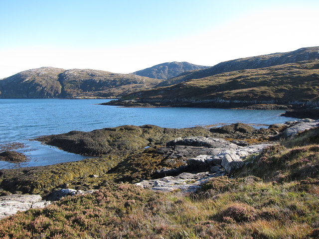
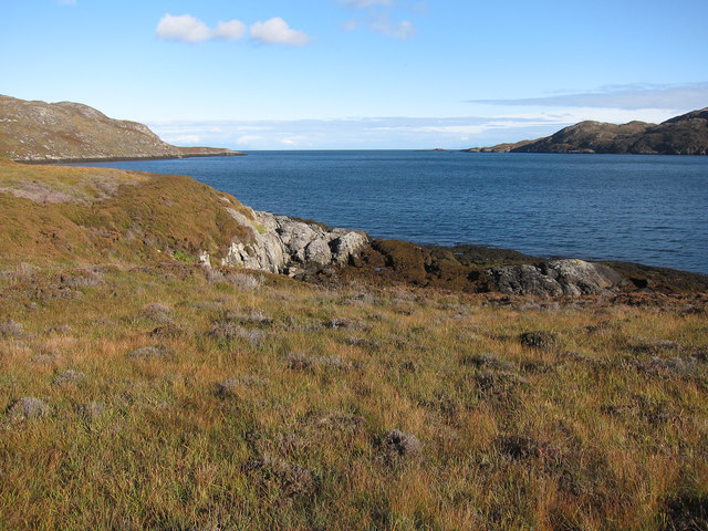
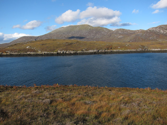
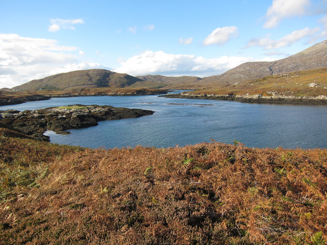
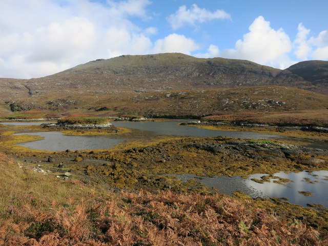
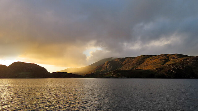
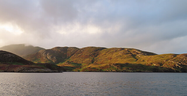
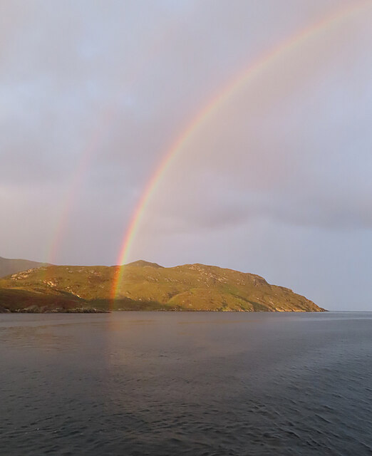
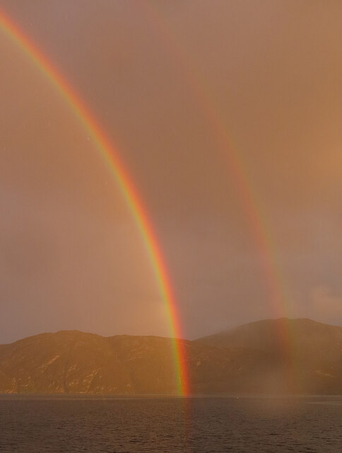
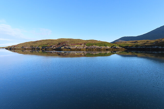
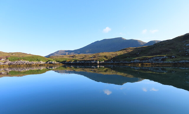
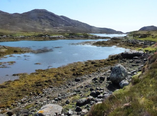
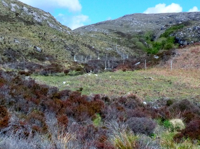
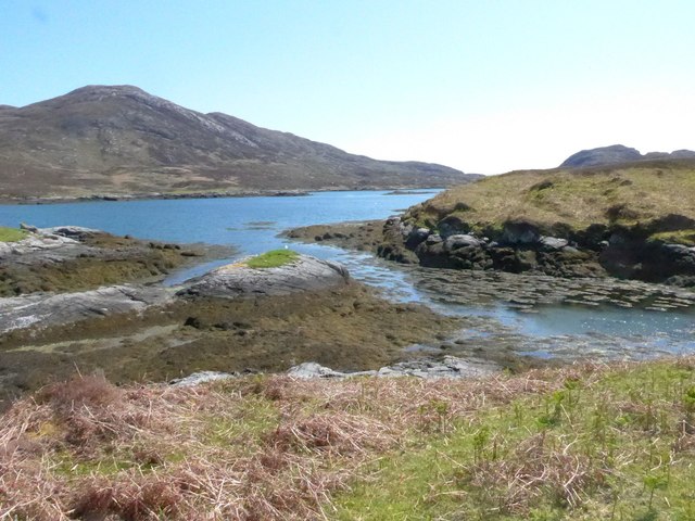
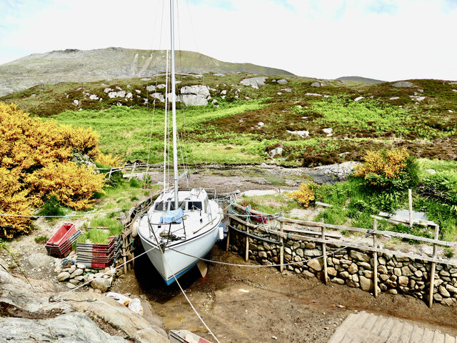
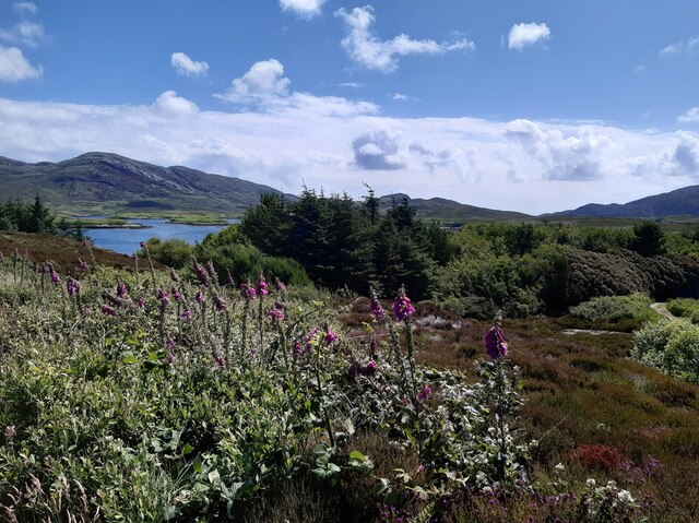
Sloc Dubh Images
Images are sourced within 2km of 57.233147/-7.2960857 or Grid Reference NF8028. Thanks to Geograph Open Source API. All images are credited.
Sloc Dubh is located at Grid Ref: NF8028 (Lat: 57.233147, Lng: -7.2960857)
Unitary Authority: Na h-Eileanan an Iar
Police Authority: Highlands and Islands
What 3 Words
///occupiers.blackouts.plunge. Near Lochboisdale, Na h-Eileanan Siar
Nearby Locations
Related Wikis

Beinn Mhòr (South Uist)
Beinn Mhòr is a mountain on the island of South Uist in the Outer Hebrides of Scotland. With a height of 620 metres (2,034 ft), it is the highest point...

South Uist
South Uist (Scottish Gaelic: Uibhist a Deas, [ˈɯ.ɪʃtʲ ə ˈtʲes̪] ; Scots: Sooth Uist) is the second-largest island of the Outer Hebrides in Scotland. At...

Stuley
Stuley is an island lying to the east of South Uist in the Outer Hebrides, Scotland. It lies off the section of coastline between Loch Eynort and Loch...

Hecla (South Uist)
Hecla or Thacla is a mountain on the island of South Uist in the Outer Hebrides of Scotland. With a height of 606 metres (1,988 ft), it is the second-highest...
Nearby Amenities
Located within 500m of 57.233147,-7.2960857Have you been to Sloc Dubh?
Leave your review of Sloc Dubh below (or comments, questions and feedback).