Bàgh Làthaich

Sea, Estuary, Creek in Inverness-shire

Scotland

Bàgh Làthaich

A865 on the edge of Loch an Daill
A865 on the edge of Loch an Daill Credit: Sandy Gerrard

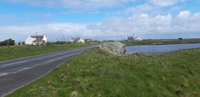
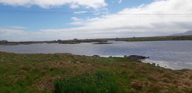
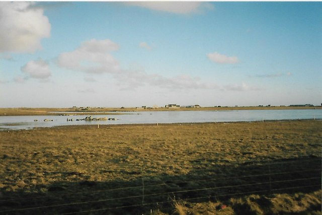
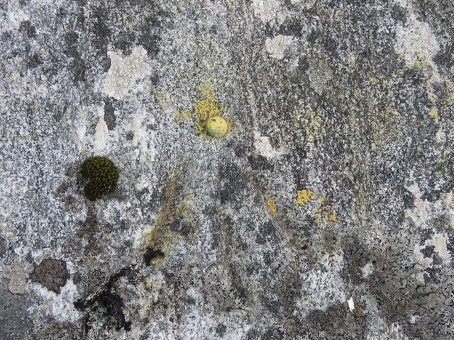
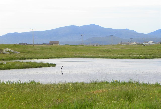
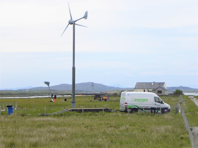
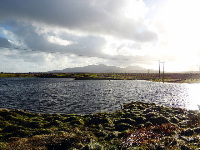
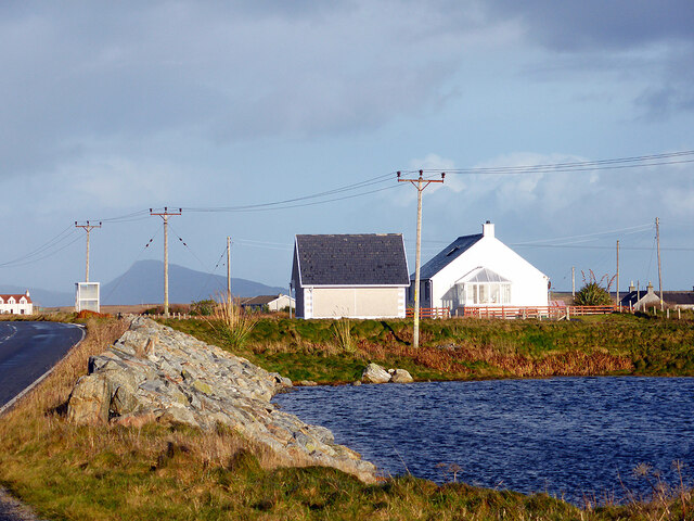
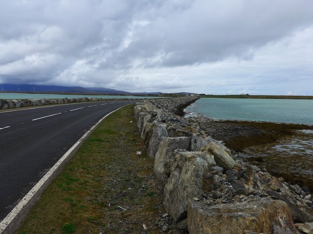
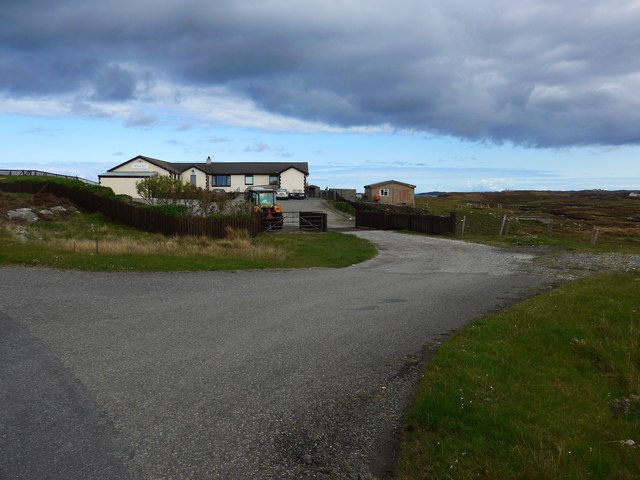
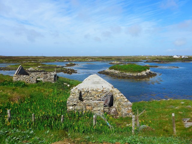
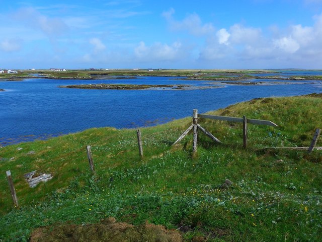
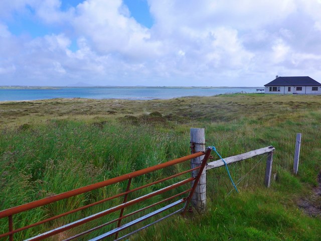
Bàgh Làthaich, located in Inverness-shire, Scotland, is a picturesque coastal area that includes a sea, estuary, and creek. The area is known for its stunning natural beauty, with rugged cliffs, sandy beaches, and crystal-clear waters. Bàgh Làthaich is a popular destination for nature lovers, bird watchers, and outdoor enthusiasts.

The sea at Bàgh Làthaich is home to a variety of marine life, including seals, dolphins, and seabirds. The estuary provides a habitat for a diverse range of flora and fauna, including salt marsh plants and wading birds. The creek meanders through the landscape, offering opportunities for kayaking, fishing, and exploring the tidal pools.

Visitors to Bàgh Làthaich can enjoy scenic walks along the coast, taking in the breathtaking views of the surrounding countryside. The area is also a great spot for picnicking, wildlife spotting, and photography. With its tranquil atmosphere and unspoiled natural surroundings, Bàgh Làthaich is a hidden gem in the Scottish Highlands.

If you have any feedback on the listing, please let us know in the comments section below.

Bàgh Làthaich Images

Images are sourced within 2km of 57.388182/-7.322435 or Grid Reference NF8045. Thanks to Geograph Open Source API. All images are credited.

A865 on the edge of Loch an Daill
Loch an Daill
Loch an Daill
Old chapel at Buaile Dhubh
Croftland and loch at Aird Mhor, Iochdar, South Uist Loch an Dall is in the middle ground.
Croftland and loch at Aird Mhor, Iochdar, South Uist
Loch an Dall is in the middle ground.
Rivet opposite old church at Buaile Dhubh Ordnance Survey rivet benchmark on rock, described on database at <span class="nowrap"><a title="http://www.bench-marks.org.uk/bm76608" rel="nofollow ugc noopener" href="http://www.bench-marks.org.uk/bm76608">Link</a><img style="margin-left:2px;" alt="External link" title="External link - shift click to open in new window" src="https://s1.geograph.org.uk/img/external.png" width="10" height="10"/></span>.
Rivet opposite old church at Buaile Dhubh
Ordnance Survey rivet benchmark on rock, described on database at LinkExternal link.
Frozen Wind blown icicles on the downwind shore of a lochan.
Frozen
Wind blown icicles on the downwind shore of a lochan.
Frozen Ripples Wind blown ice on a lochan shore.
Frozen Ripples
Wind blown ice on a lochan shore.
Across Loch Scorran Tiny loch at the northern end of South Uist. The big hills of the island in the distance.
Across Loch Scorran
Tiny loch at the northern end of South Uist. The big hills of the island in the distance.
Turbine trouble? Engineers working on a wind turbine at Carnan.
Turbine trouble?
Engineers working on a wind turbine at Carnan.
Loch an Daill Just south of the causeway between Benbecula and South Uist.
Loch an Daill
Just south of the causeway between Benbecula and South Uist.
Houses by Loch an Daill Beside the A865 road, South Uist.
Houses by Loch an Daill
Beside the A865 road, South Uist.
The causeway to South Uist from Benbecula
The Orosay Inn Great wee hotel with simple rooms and great food - especially seafood (I speak only as a satisfied customer!).
The Orosay Inn
Great wee hotel with simple rooms and great food - especially seafood (I speak only as a satisfied customer!).
Wayside shrine On the Loch Carnan road
Wayside shrine
On the Loch Carnan road
Lochcarnan Community Windfarm Now capable of generating its full 6.9MW. This wind farm is built on (presumably) crofting land and revenues will go to the local community - revenues estimated at around £20 million over the next 20 years
Lochcarnan Community Windfarm
Now capable of generating its full 6.9MW. This wind farm is built on (presumably) crofting land and revenues will go to the local community - revenues estimated at around £20 million over the next 20 years
Ruins at Grosavagh It can be difficult to tell in the Outer Hebrides, but this is salt water (you can see the tide marks).
Ruins at Grosavagh
It can be difficult to tell in the Outer Hebrides, but this is salt water (you can see the tide marks).
Coast at Grosavagh Looking over to houses at Griomasaigh.
Coast at Grosavagh
Looking over to houses at Griomasaigh.
New house at Grosavagh Beyond is the stretch of sea separating South Uist (here) from the next island up the chain, Benbecula.
New house at Grosavagh
Beyond is the stretch of sea separating South Uist (here) from the next island up the chain, Benbecula.
Show me another place!

Bàgh Làthaich is located at Grid Ref: NF8045 (Lat: 57.388182, Lng: -7.322435)

Unitary Authority: Na h-Eileanan an Iar

Police Authority: Highlands and Islands

What 3 Words

///routs.soaps.rationing. Near Balivanich, Na h-Eileanan Siar

Related Wikis

Iochdar

Iochdar (Scottish Gaelic: An t-Ìochdair), also spelled Eochar, is a hamlet and community on the west coast of the island of South Uist, in the Outer Hebrides...

Carnan (townland)

Carnan is a townland in County Tyrone, Northern Ireland. It is situated in the historic barony of Dungannon Upper and the civil parish of Arboe and covers...

Grimsay (South East Benbecula)

Grimsay, south east of Benbecula is a tidal island of the Outer Hebrides. It is connected to Benbecula by a causeway which carries the B891. In the 2001...

Loch Bee

Loch Bì, sometimes anglicised as Loch Bee, is the largest loch on the island of South Uist in the Outer Hebrides of Scotland. It lies at the northern end...

Nearby Amenities

Located within 500m of 57.388182,-7.322435
Turning Circle
Lat/Long: 57.3893317/-7.3217006
Barrier: cattle_grid
Lat/Long: 57.3906181/-7.3277378
Bàgh Lathaich
Natural: bay
Lat/Long: 57.3881944/-7.322892
Àird Mhòr
Alt Name En: Ardmhor
Name En: Ardmore
Name Gd: Àird Mhòr
Place: hamlet
Lat/Long: 57.3897538/-7.3257559
Passing Place
Lat/Long: 57.3841024/-7.3205269
Power: pole
Lat/Long: 57.384263/-7.321382
Power: pole
Lat/Long: 57.3848767/-7.321972
Power: pole
Lat/Long: 57.3855217/-7.3226266
Passing Place
Lat/Long: 57.3851499/-7.3216509
Power: pole
Lat/Long: 57.3879656/-7.3237896
Power: pole
Lat/Long: 57.3888098/-7.324149
Power: pole
Lat/Long: 57.3892478/-7.3237977
Power: pole
Lat/Long: 57.3892449/-7.3229152
Power: pole
Lat/Long: 57.3889283/-7.322934
Power: pole
Lat/Long: 57.3895817/-7.3247606
Power: pole
Lat/Long: 57.3899084/-7.3256242
Power: pole
Lat/Long: 57.3902162/-7.3264986
Power: pole
Lat/Long: 57.3906268/-7.327652
Barrier: cattle_grid
Lat/Long: 57.3900356/-7.3266727
Power: pole
Lat/Long: 57.3861042/-7.3231649
The data included in this document is from www.openstreetmap.org. The data is made available under ODbL.

Have you been to Bàgh Làthaich?

Leave your review of Bàgh Làthaich below (or comments, questions and feedback).