Aird Mhor

Coastal Feature, Headland, Point in Inverness-shire

Scotland

Aird Mhor

A865 on the edge of Loch an Daill
A865 on the edge of Loch an Daill Credit: Sandy Gerrard

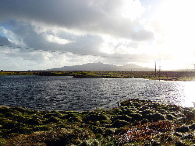
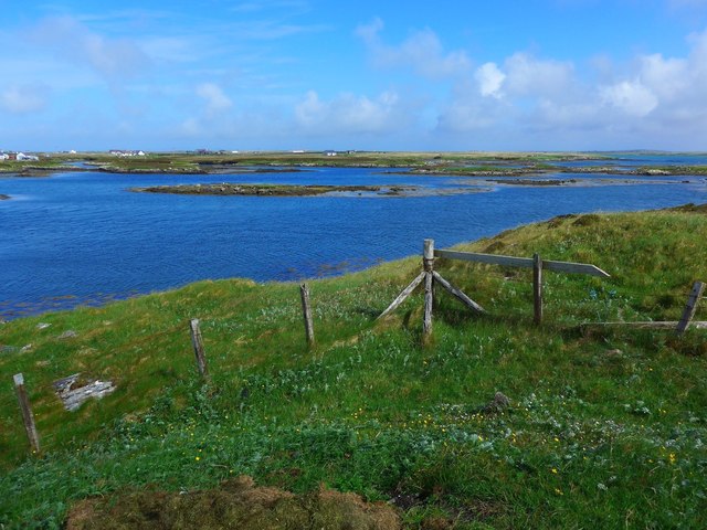
Aird Mhor is a prominent coastal feature located in Inverness-shire, Scotland. It is a headland that extends into the North Atlantic Ocean, forming a distinct point on the coastline. The name "Aird Mhor" translates to "big headland" in Gaelic, which accurately describes its size and prominence.

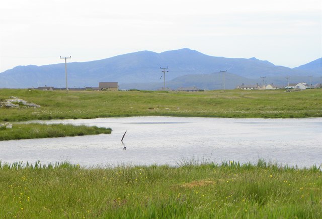
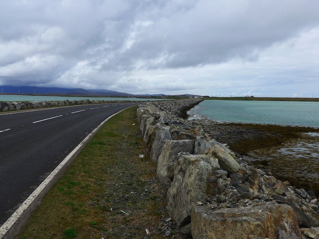
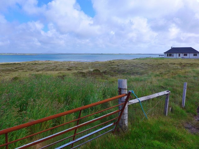
Situated on the western coast of Scotland, Aird Mhor offers breathtaking views of the surrounding landscape. The headland is characterized by rugged cliffs that rise steeply from the sea, creating a dramatic and picturesque scene. These cliffs are composed of various types of rock, including sandstone and limestone, which have been shaped by the relentless force of the ocean over millions of years.

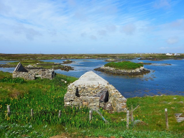
Aird Mhor is also known for its diverse wildlife. The surrounding waters are home to a wide range of marine species, including seals, dolphins, and seabirds. Visitors to the headland can often spot these creatures from the cliffs, adding to the area's natural allure.

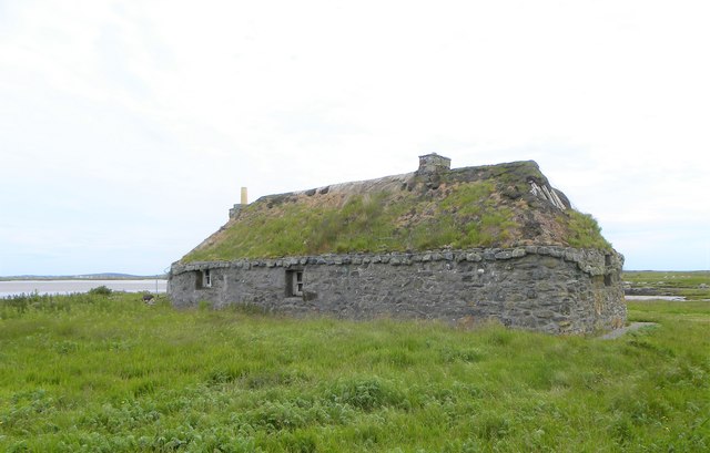
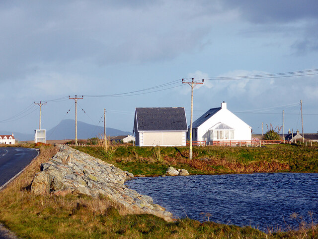
In addition to its natural beauty, Aird Mhor holds historical significance. The headland has been inhabited for centuries, with evidence of ancient settlements and structures found in the vicinity. These archaeological remains offer insights into the lives of early inhabitants and their relationship with the coastal environment.

Overall, Aird Mhor in Inverness-shire is a captivating coastal feature that showcases the stunning beauty and rich history of the Scottish coastline. Its towering cliffs, diverse wildlife, and archaeological remains make it a must-visit destination for nature lovers and history enthusiasts alike.

If you have any feedback on the listing, please let us know in the comments section below.
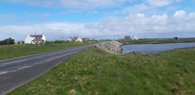
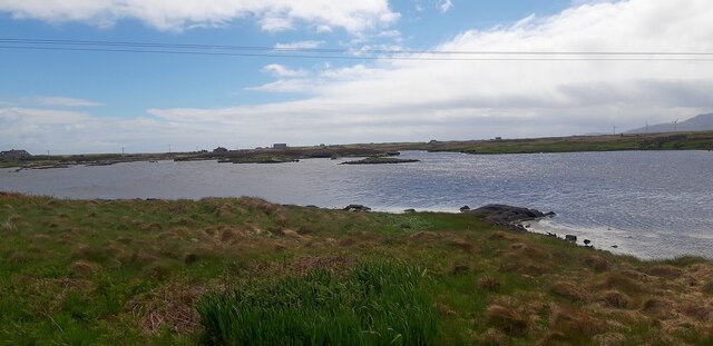
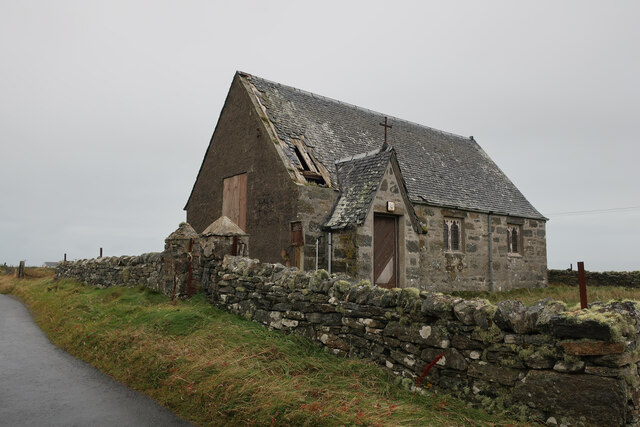
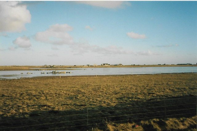
Aird Mhor Images

Images are sourced within 2km of 57.391127/-7.3229965 or Grid Reference NF8045. Thanks to Geograph Open Source API. All images are credited.

A865 on the edge of Loch an Daill
Loch an Daill
Loch an Daill
Old chapel at Buaile Dhubh
Croftland and loch at Aird Mhor, Iochdar, South Uist Loch an Dall is in the middle ground.
Croftland and loch at Aird Mhor, Iochdar, South Uist
Loch an Dall is in the middle ground.
Rivet opposite old church at Buaile Dhubh Ordnance Survey rivet benchmark on rock, described on database at <span class="nowrap"><a title="http://www.bench-marks.org.uk/bm76608" rel="nofollow ugc noopener" href="http://www.bench-marks.org.uk/bm76608">Link</a><img style="margin-left:2px;" alt="External link" title="External link - shift click to open in new window" src="https://s1.geograph.org.uk/img/external.png" width="10" height="10"/></span>.
Rivet opposite old church at Buaile Dhubh
Ordnance Survey rivet benchmark on rock, described on database at LinkExternal link.
Frozen Wind blown icicles on the downwind shore of a lochan.
Frozen
Wind blown icicles on the downwind shore of a lochan.
Frozen Ripples Wind blown ice on a lochan shore.
Frozen Ripples
Wind blown ice on a lochan shore.
Traditional cottage, North Uist I note that Greg Morss referred to this as an inhabited cottage back in 2007, but now it looks distinctly uninhabited, unless the occupants enjoy fresh air through the roof.
Traditional cottage, North Uist
I note that Greg Morss referred to this as an inhabited cottage back in 2007, but now it looks distinctly uninhabited, unless the occupants enjoy fresh air through the roof.
Across Loch Scorran Tiny loch at the northern end of South Uist. The big hills of the island in the distance.
Across Loch Scorran
Tiny loch at the northern end of South Uist. The big hills of the island in the distance.
Turbine trouble? Engineers working on a wind turbine at Carnan.
Turbine trouble?
Engineers working on a wind turbine at Carnan.
Loch an Daill Just south of the causeway between Benbecula and South Uist.
Loch an Daill
Just south of the causeway between Benbecula and South Uist.
Houses by Loch an Daill Beside the A865 road, South Uist.
Houses by Loch an Daill
Beside the A865 road, South Uist.
The causeway to South Uist from Benbecula
Lochcarnan Community Windfarm Now capable of generating its full 6.9MW. This wind farm is built on (presumably) crofting land and revenues will go to the local community - revenues estimated at around £20 million over the next 20 years
Lochcarnan Community Windfarm
Now capable of generating its full 6.9MW. This wind farm is built on (presumably) crofting land and revenues will go to the local community - revenues estimated at around £20 million over the next 20 years
Ruins at Grosavagh It can be difficult to tell in the Outer Hebrides, but this is salt water (you can see the tide marks).
Ruins at Grosavagh
It can be difficult to tell in the Outer Hebrides, but this is salt water (you can see the tide marks).
Coast at Grosavagh Looking over to houses at Griomasaigh.
Coast at Grosavagh
Looking over to houses at Griomasaigh.
New house at Grosavagh Beyond is the stretch of sea separating South Uist (here) from the next island up the chain, Benbecula.
New house at Grosavagh
Beyond is the stretch of sea separating South Uist (here) from the next island up the chain, Benbecula.
Northern end of the South Ford causeway The causeway and short bridge was officially opened in November 1982 during a howling gale. The causeway replaced an 82 span bridge which opened in 1942, but which was in a poor state of repair by the end of the 1970s.
Northern end of the South Ford causeway
The causeway and short bridge was officially opened in November 1982 during a howling gale. The causeway replaced an 82 span bridge which opened in 1942, but which was in a poor state of repair by the end of the 1970s.
Show me another place!

Aird Mhor is located at Grid Ref: NF8045 (Lat: 57.391127, Lng: -7.3229965)

Unitary Authority: Na h-Eileanan an Iar

Police Authority: Highlands and Islands

Also known as: Ardmore

What 3 Words

///samplers.callers.slippers. Near Balivanich, Na h-Eileanan Siar

Related Wikis

Iochdar

Iochdar (Scottish Gaelic: An t-Ìochdair), also spelled Eochar, is a hamlet and community on the west coast of the island of South Uist, in the Outer Hebrides...

Carnan (townland)

Carnan is a townland in County Tyrone, Northern Ireland. It is situated in the historic barony of Dungannon Upper and the civil parish of Arboe and covers...

Grimsay (South East Benbecula)

Grimsay, south east of Benbecula is a tidal island of the Outer Hebrides. It is connected to Benbecula by a causeway which carries the B891. In the 2001...

Balgarva

Balgarva (Scottish Gaelic: Baile Gharbhaidh) is a crofting settlement on South Uist in the Outer Hebrides, Scotland. Balgarva is within the parish of South...

Eilean na Cille

Eilean na Cille, south east of Benbecula is an island of the Outer Hebrides connected to Grimsay (South) by a causeway which carries the B891. The road...

Loch Bee

Loch Bì, sometimes anglicised as Loch Bee, is the largest loch on the island of South Uist in the Outer Hebrides of Scotland. It lies at the northern end...

Kilaulay

Kilaulay (Scottish Gaelic: Cill Amhlaigh / Cill Amhlaidh ) is a crofting township on the island of South Uist, in the Outer Hebrides of Scotland. Kilaulay...

Borve Castle, Benbecula

Borve Castle, also known as Castle Wearie, and Caisteal Bhuirgh in Scottish Gaelic, is a ruined 14th-century tower house, located at the south-west of...

Nearby Amenities

Located within 500m of 57.391127,-7.3229965
Turning Circle
Lat/Long: 57.3893317/-7.3217006
Barrier: cattle_grid
Lat/Long: 57.3906181/-7.3277378
Bàgh Lathaich
Natural: bay
Lat/Long: 57.3881944/-7.322892
Bàgh na h-Àirde Mòire
Natural: bay
Lat/Long: 57.3931264/-7.3281276
Àird Mhòr
Alt Name En: Ardmhor
Name En: Ardmore
Name Gd: Àird Mhòr
Place: hamlet
Lat/Long: 57.3897538/-7.3257559
Power: pole
Lat/Long: 57.3879656/-7.3237896
Power: pole
Lat/Long: 57.3888098/-7.324149
Power: pole
Lat/Long: 57.3892478/-7.3237977
Power: pole
Lat/Long: 57.3892449/-7.3229152
Power: pole
Lat/Long: 57.3889283/-7.322934
Power: pole
Lat/Long: 57.3895817/-7.3247606
Power: pole
Lat/Long: 57.3899084/-7.3256242
Power: pole
Lat/Long: 57.3902162/-7.3264986
Power: pole
Lat/Long: 57.3906268/-7.327652
Power: pole
Lat/Long: 57.3910537/-7.328864
Barrier: cattle_grid
Lat/Long: 57.3900356/-7.3266727
Power: pole
Lat/Long: 57.3915565/-7.3302414
Power: pole
Lat/Long: 57.3919829/-7.3310434
Barrier: cattle_grid
Lat/Long: 57.3920375/-7.3291704
Turning Circle
Lat/Long: 57.3927682/-7.322353
The data included in this document is from www.openstreetmap.org. The data is made available under ODbL.

Have you been to Aird Mhor?

Leave your review of Aird Mhor below (or comments, questions and feedback).