Bristol Channel
Sea, Estuary, Creek in Somerset / Glamorgan Somerset West and Taunton
England
Bristol Channel

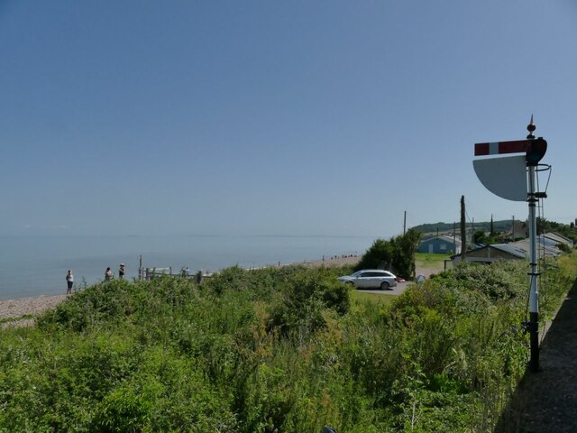
The Bristol Channel is a body of water located between Somerset in England and Glamorgan in Wales. It stretches approximately 50 miles in length and 8 to 20 miles in width, serving as a significant feature of the western coastline of Britain. The channel is formed by the confluence of the rivers Severn and Wye, resulting in a unique mix of sea, estuary, and creek environments.
The Bristol Channel is characterized by its strong tidal currents, with some of the highest tidal ranges in the world. The tidal range can reach up to 43 feet during spring tides, creating fast-flowing water and powerful tidal surges. This makes it a challenging navigational area for ships and boats.
The channel is home to diverse ecosystems, supporting a wide range of marine life. Its shores are a vital habitat for various bird species, including waders and wildfowl. The intertidal mudflats and saltmarshes provide feeding grounds for many migratory birds.
Several ports and harbors are situated along the Bristol Channel, including Bristol, Cardiff, and Newport, which have played crucial roles in the region's history and economy. These ports serve as important trading gateways for goods and commodities.
The Bristol Channel also holds historical significance, with several shipwrecks dating back centuries. The treacherous waters and changing tides have caused numerous accidents throughout history, making it an area of interest for marine archaeologists and enthusiasts.
Overall, the Bristol Channel is a dynamic and diverse waterway, combining the characteristics of a sea, estuary, and creek. Its unique tidal patterns, rich ecosystems, and historical importance make it a prominent feature of the British coastline.
If you have any feedback on the listing, please let us know in the comments section below.
Bristol Channel Images
Images are sourced within 2km of 51.184607/-3.3759992 or Grid Reference ST0343. Thanks to Geograph Open Source API. All images are credited.


Bristol Channel is located at Grid Ref: ST0343 (Lat: 51.184607, Lng: -3.3759992)
Administrative County: Somerset
District: Somerset West and Taunton
Police Authority: Avon and Somerset
Also known as: Môr Hafren
What 3 Words
///tuned.wrist.handsets. Near Watchet, Somerset
Nearby Locations
Related Wikis
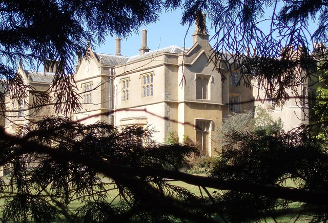
Chapel Cleeve Manor
Chapel Cleeve Manor in Chapel Cleeve, Somerset, England started life in the 1450s as a pilgrims' hostel. It was enlarged in the 19th and 20th centuries...
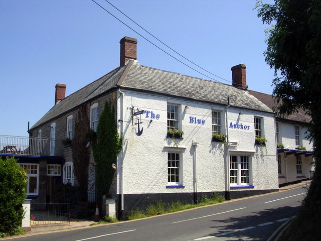
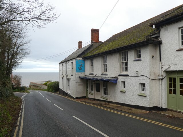
Blue Anchor
Blue Anchor is a seaside village, in the parish of Old Cleeve, close to Carhampton in the Somerset West and Taunton district of Somerset, England. The...
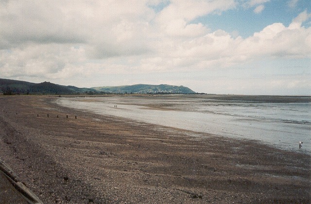
Blue Anchor to Lilstock Coast SSSI
Blue Anchor to Lilstock Coast SSSI (grid reference ST033435 to grid reference ST195462) is a 742.8 hectare geological Site of Special Scientific Interest...
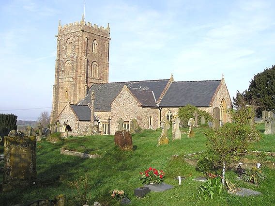
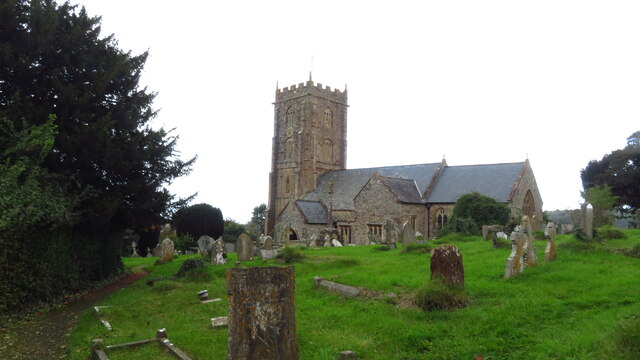
Old Cleeve
Old Cleeve is a village 5 miles (8 km) south east of Minehead in the Somerset West and Taunton district of Somerset, England, and also a civil parish....

Blue Anchor railway station
Blue Anchor railway station is situated in the seaside village of Blue Anchor, Somerset, England, close to the larger village of Carhampton. It is on the...

Cleeve Hill SSSI, Somerset
Cleeve Hill (grid reference ST056428) is a 15.1 hectare (37.4 acre) biological Site of Special Scientific Interest between Old Cleeve and Watchet in Somerset...
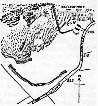
Daw's Castle
Daw's Castle (or Dart's Castle or Dane's Castle) is a sea cliff hillfort just west of Watchet, a harbour town in Somerset, England. It is a Scheduled Monument...

Washford railway station
Washford railway station is a station on the West Somerset Railway, a heritage railway in England. The station is situated in the village of Washford...
Nearby Amenities
Located within 500m of 51.184607,-3.3759992Have you been to Bristol Channel?
Leave your review of Bristol Channel below (or comments, questions and feedback).