Milford Haven
Sea, Estuary, Creek in Pembrokeshire
Wales
Milford Haven

The requested URL returned error: 429 Too Many Requests
If you have any feedback on the listing, please let us know in the comments section below.
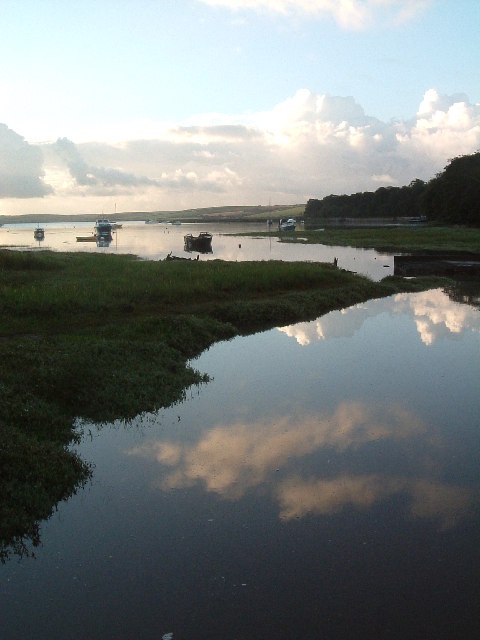
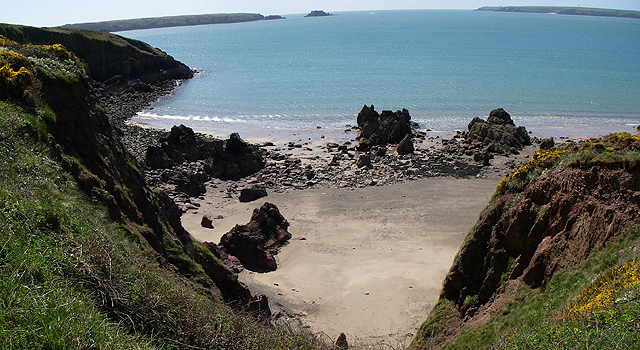
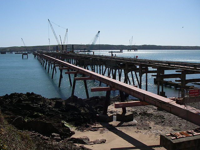
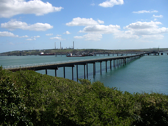
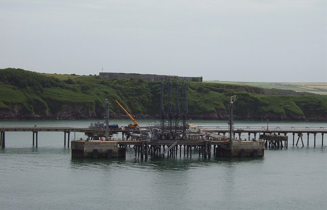
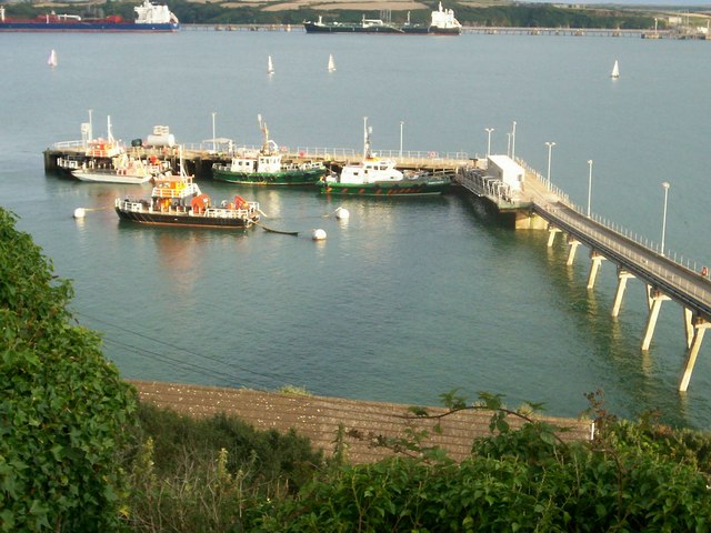
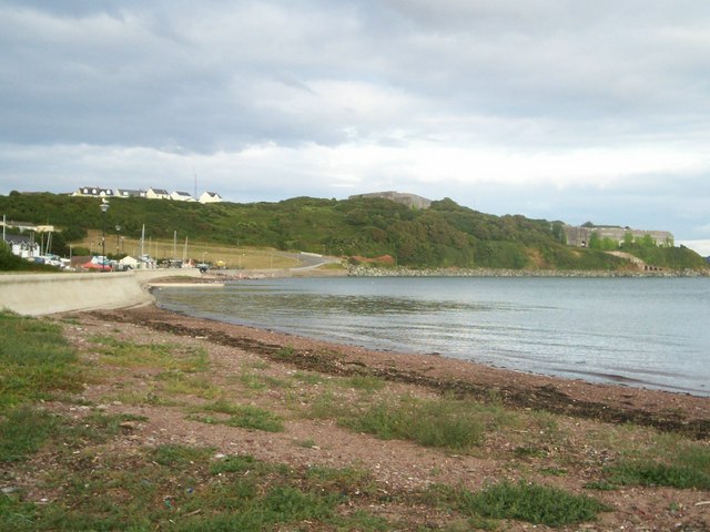
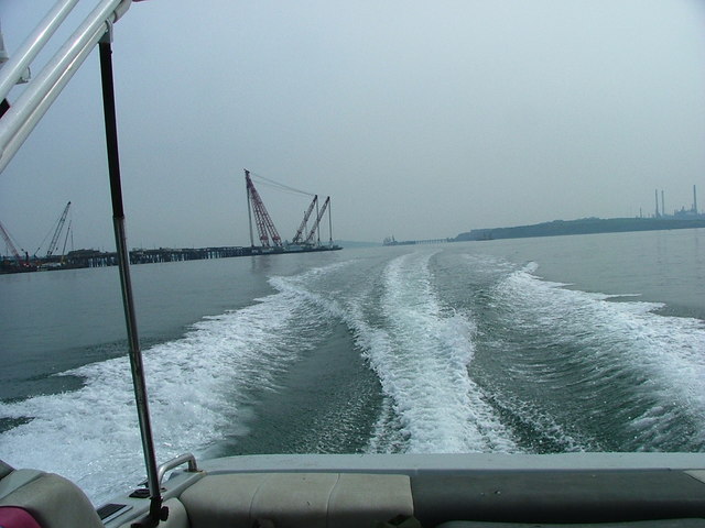
Milford Haven Images
Images are sourced within 2km of 51.698473/-5.0756262 or Grid Reference SM8704. Thanks to Geograph Open Source API. All images are credited.


Milford Haven is located at Grid Ref: SM8704 (Lat: 51.698473, Lng: -5.0756262)
Unitary Authority: Pembrokeshire
Police Authority: Dyfed Powys
Also known as: Aberdaugleddyf
What 3 Words
///fixated.prompting.dissolves. Near Milford Haven, Pembrokeshire
Nearby Locations
Related Wikis

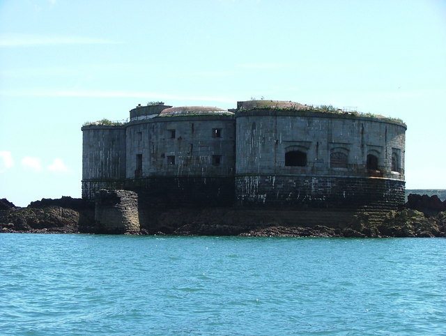
South Hook Fort
South Hook Fort, on the northern shore of Milford Haven, Pembrokeshire, is a Grade II*-listed building which belongs to a series of forts built as part...

Stack Rock Fort
Stack Rock Fort is a fort built on a small island in the Milford Haven Waterway, Pembrokeshire, Wales. A 3-gun fort was built between 1850 and 1852, and...

Angle Lifeboat Station
Angle Lifeboat Station, Angle, Pembrokeshire, Wales, first opened in 1868 after a request from the local Coastguard for a lifeboat station to be opened...

Esso Refinery, Milford Haven
The Esso Refinery at Milford Haven was an oil refinery situated on the Pembrokeshire coast in Wales. Construction started in 1957 and the refinery was...
Related Videos

"PEMBROKESHIRE" WALES NUMBER 1 HOLIDAY DESTINATION 🏴
Join us for a magical summer evening 7pm and drive through Angle Pembroke and Freshwater West! Enjoy breathtaking beach ...

The BEST UK Coastal Hike! 👌#shorts
This is one of the best hikes I've completed lately. Sorry for lack of uploads this week I've been a bit unwell. Don't forget to like and ...


Nearby Amenities
Located within 500m of 51.698473,-5.0756262Have you been to Milford Haven?
Leave your review of Milford Haven below (or comments, questions and feedback).