Brickyard Covert
Wood, Forest in Somerset Somerset West and Taunton
England
Brickyard Covert
Brickyard Covert, Somerset is a stunning wood located in the heart of Somerset, England. This enchanting forest covers an area of approximately 100 acres and is a popular destination for nature lovers and outdoor enthusiasts alike.
The wood is characterized by its dense, towering trees, mainly consisting of oak, beech, and ash. These majestic trees provide a lush canopy that creates a sense of tranquility and seclusion within the wood. The forest floor is blanketed with a rich carpet of moss, ferns, and wildflowers, adding to the natural beauty of the area.
Brickyard Covert is known for its diverse wildlife. Visitors may encounter a variety of bird species, including woodpeckers, owls, and warblers, making it a haven for birdwatchers. The wood is also home to mammals such as deer, foxes, and badgers, which can often be spotted roaming through the undergrowth.
The wood offers a range of recreational activities for visitors to enjoy. There are well-maintained walking trails that meander through the forest, providing opportunities for peaceful strolls and hikes. Picnic areas are scattered throughout the wood, inviting visitors to relax and enjoy the serene surroundings. Additionally, the wood is a popular spot for nature photography and sketching, as it offers countless picturesque views and natural subjects.
Brickyard Covert, Somerset is a true gem of natural beauty, providing a peaceful and immersive experience for those seeking solace in nature. Whether it's a leisurely walk, birdwatching, or simply enjoying a picnic, this wood offers something for everyone to appreciate and enjoy.
If you have any feedback on the listing, please let us know in the comments section below.
Brickyard Covert Images
Images are sourced within 2km of 51.180411/-3.3886506 or Grid Reference ST0343. Thanks to Geograph Open Source API. All images are credited.


Brickyard Covert is located at Grid Ref: ST0343 (Lat: 51.180411, Lng: -3.3886506)
Administrative County: Somerset
District: Somerset West and Taunton
Police Authority: Avon and Somerset
What 3 Words
///ivory.afternoon.mixer. Near Watchet, Somerset
Nearby Locations
Related Wikis
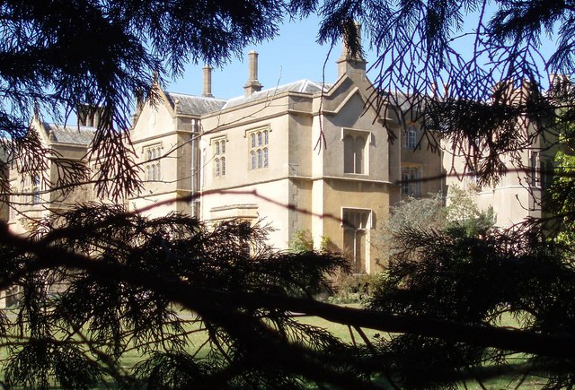
Chapel Cleeve Manor
Chapel Cleeve Manor in Chapel Cleeve, Somerset, England started life in the 1450s as a pilgrims' hostel. It was enlarged in the 19th and 20th centuries...
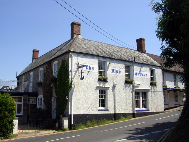
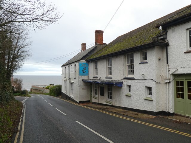
Blue Anchor
Blue Anchor is a seaside village, in the parish of Old Cleeve, close to Carhampton in the Somerset West and Taunton district of Somerset, England. The...
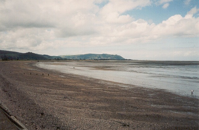
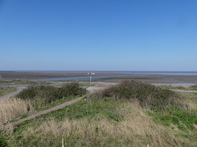
Blue Anchor to Lilstock Coast SSSI
Blue Anchor to Lilstock Coast SSSI (grid reference ST033435 to grid reference ST195462) is a 742.8 hectare geological Site of Special Scientific Interest...

Blue Anchor railway station
Blue Anchor railway station is situated in the seaside village of Blue Anchor, Somerset, England, close to the larger village of Carhampton. It is on the...
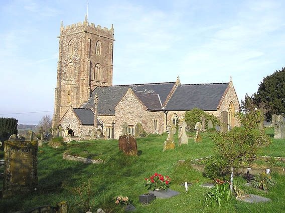
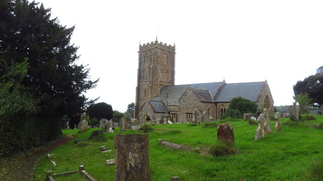
Old Cleeve
Old Cleeve is a village 5 miles (8 km) south east of Minehead in the Somerset West and Taunton district of Somerset, England, and also a civil parish....
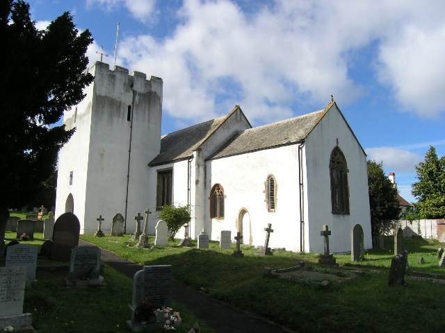
Withycombe
Withycombe is a village, civil parish, and former manor 2.5 miles (4 km) south east of Dunster, and 5 miles (8 km) from Minehead within the Exmoor National...

Washford railway station
Washford railway station is a station on the West Somerset Railway, a heritage railway in England. The station is situated in the village of Washford...

River Avill
The River Avill is a small river on Exmoor in Somerset, England. It rises on the eastern slopes of Dunkery Beacon and flows north through Timberscombe...
Nearby Amenities
Located within 500m of 51.180411,-3.3886506Have you been to Brickyard Covert?
Leave your review of Brickyard Covert below (or comments, questions and feedback).