Battisford Tye
Settlement in Suffolk Mid Suffolk
England
Battisford Tye
Battisford Tye, located in the county of Suffolk, England, is a small rural village with a population of around 500 residents. Situated just three miles northeast of the market town of Stowmarket, Battisford Tye offers a picturesque and tranquil setting for its inhabitants.
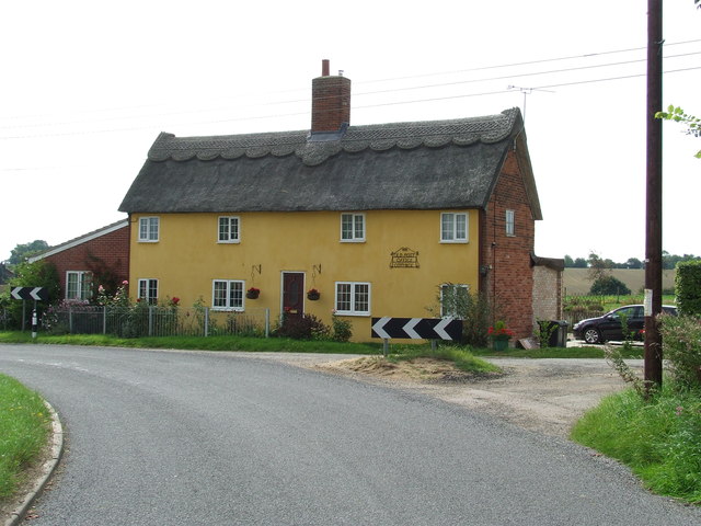
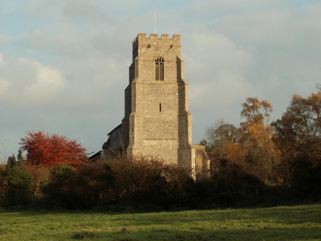
The village is characterized by its charming thatched cottages and traditional red-brick houses, giving it a quintessentially English feel. The centerpiece of the village is the 12th-century St. Mary's Church, which stands proudly with its medieval tower and beautiful stained glass windows.
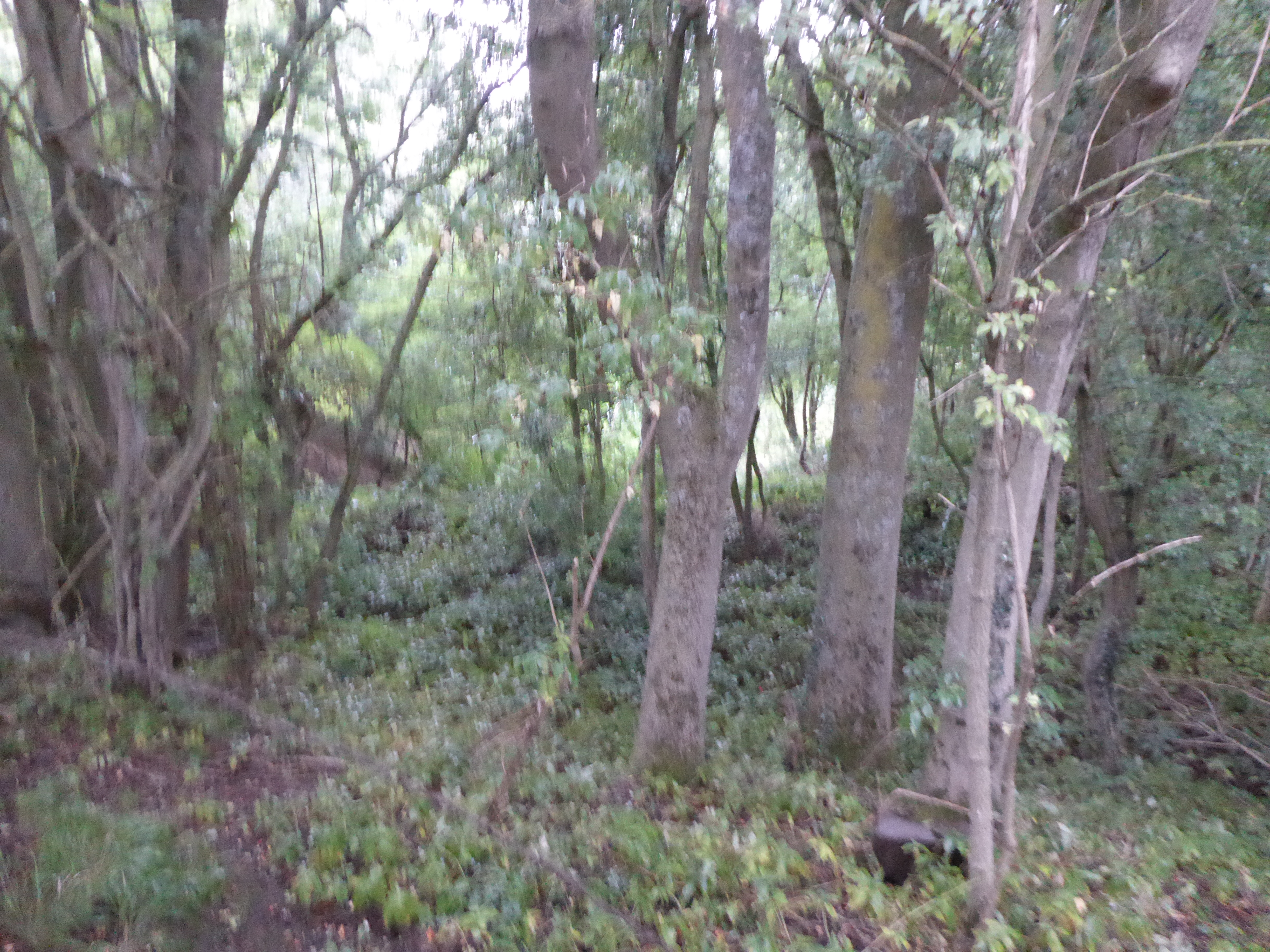
Surrounded by rolling countryside and farmland, Battisford Tye is a haven for nature lovers and outdoor enthusiasts. The village is blessed with an abundance of scenic walking and cycling routes, allowing residents and visitors to explore the surrounding countryside. The nearby River Gipping is a popular spot for fishing and boating activities.
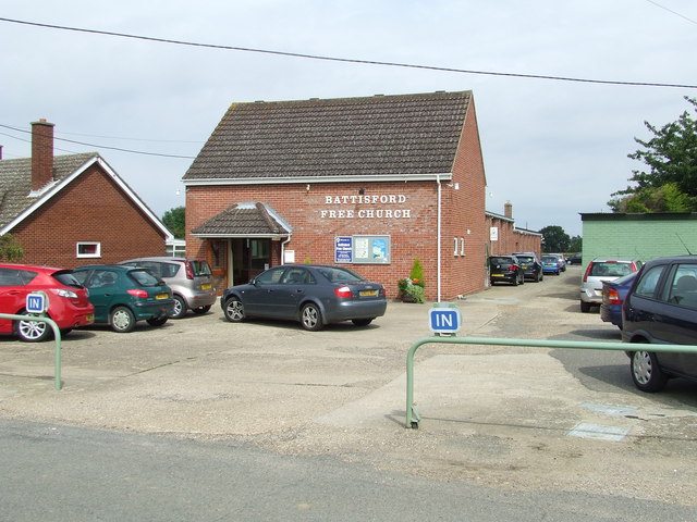
Despite its small size, Battisford Tye is a vibrant community with a strong sense of community spirit. The village hosts regular events and activities, including fetes, fairs, and a popular annual scarecrow festival. The village pub, The Punch Bowl, serves as a hub for socializing and is known for its warm hospitality and delicious traditional pub food.
For amenities, residents can easily access nearby Stowmarket, which offers a wider range of facilities such as supermarkets, shops, schools, and healthcare services. In terms of transportation, Battisford Tye is well-connected by road, with the A14 and A140 providing easy access to other parts of Suffolk and beyond.
In summary, with its idyllic countryside setting, historic landmarks, and strong community spirit, Battisford Tye offers a charming and peaceful place to call home in the heart of Suffolk.
If you have any feedback on the listing, please let us know in the comments section below.
Battisford Tye Images
Images are sourced within 2km of 52.147997/0.969324 or Grid Reference TM0354. Thanks to Geograph Open Source API. All images are credited.


Battisford Tye is located at Grid Ref: TM0354 (Lat: 52.147997, Lng: 0.969324)
Administrative County: Suffolk
District: Mid Suffolk
Police Authority: Suffolk
What 3 Words
///paid.tacky.oval. Near Wattisham, Suffolk
Nearby Locations
Related Wikis

Gipping Rural District
Gipping Rural District was a rural district in the county of East Suffolk, England. It was created in 1934 by the merger of the disbanded Bosmere and Claydon...

Little Finborough
Little Finborough is a small village in Suffolk, England about 3.5 miles (6 km) south-west of Stowmarket. It neighbours the village Great Finborough. The...

Ringshall, Suffolk
Ringshall is a village and civil parish in the Mid Suffolk district of Suffolk in eastern England. Located around four miles south of Stowmarket, and 13...

Battisford
Battisford is a village and civil parish in the Mid Suffolk district of Suffolk, England. The village is about 4 miles (6 km) south of Stowmarket, and...

Little London, Suffolk
Little London is a village in Suffolk, to the south of Combs and Stowmarket.

Wattisham Airfield
Wattisham Airfield is a British Army airfield and barracks located near the village of Wattisham in Suffolk, England. It is home to the Army Air Corps...
Combs, Suffolk
Combs is a village and civil parish in the English county of Suffolk. It is also located directly to the south of Stowmarket, with a half-mile (800m) of...
Hascot Hill Pit
Hascot Hill Pit is a 0.3-hectare (0.74-acre) geological Site of Special Scientific Interest south-west of Needham Market in Suffolk. It is a Geological...
Nearby Amenities
Located within 500m of 52.147997,0.969324Have you been to Battisford Tye?
Leave your review of Battisford Tye below (or comments, questions and feedback).