Battisford

Settlement in Suffolk Mid Suffolk

England

Battisford

St Mary's Church, Battisford The church is mainly 13th century but the tower fell shortly after the Reformation: <span class="nowrap"><a title="http://www.suffolkchurches.co.uk/battisford.htm" rel="nofollow ugc noopener" href="http://www.suffolkchurches.co.uk/battisford.htm">Link</a><img style="margin-left:2px;" alt="External link" title="External link - shift click to open in new window" src="https://s1.geograph.org.uk/img/external.png" width="10" height="10"/></span>
St Mary's Church, Battisford Credit: Chris Holifield

Battisford is a small village located in the county of Suffolk, England. Situated approximately 10 miles north of the town of Ipswich, it lies within the Babergh district. With a population of around 500, Battisford is known for its quaint and picturesque setting.

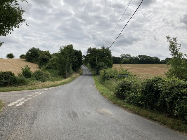
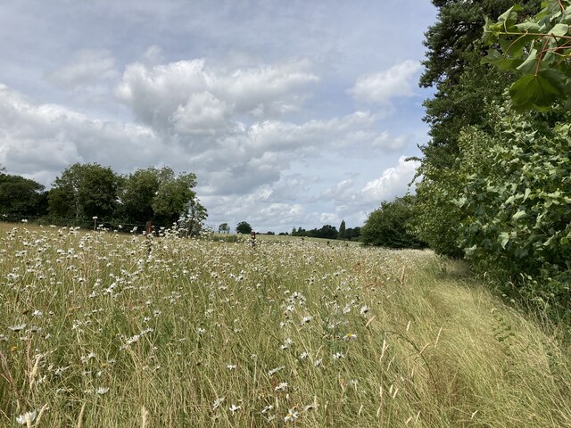
The village is surrounded by beautiful countryside, characterized by rolling hills and lush green fields. It boasts a rich history, with evidence of early settlements dating back to the Bronze Age. The name "Battisford" is believed to have originated from the Old English words "bātan" and "ford," meaning "boat ford," suggesting a historical crossing point on a nearby river.

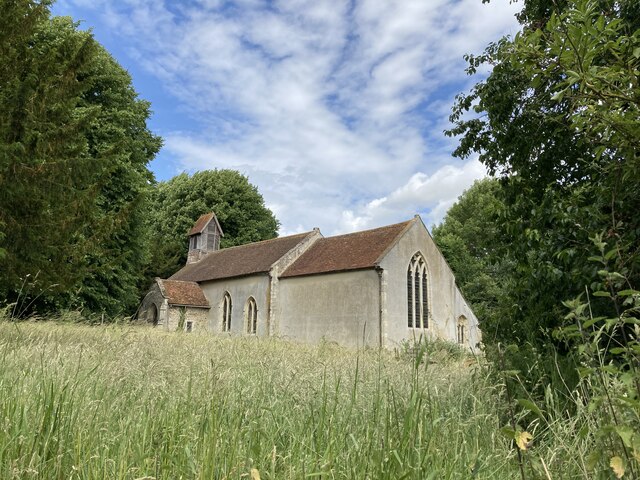
Battisford is home to a charming medieval church, St. Mary's, which dates back to the 14th century. The church features stunning architectural details, including a tower with a distinctive octagonal top. It serves as a place of worship for the local community and is also a popular attraction for history enthusiasts.

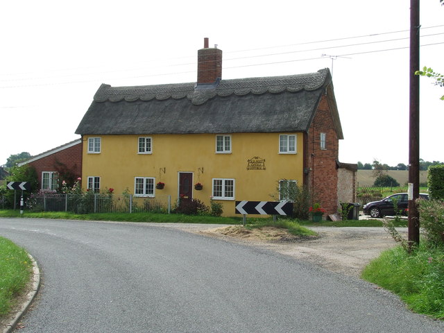
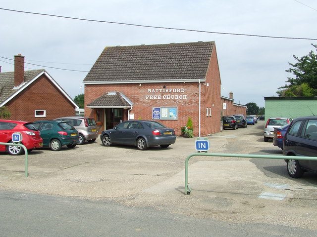
The village offers a peaceful and idyllic lifestyle, with a close-knit community that organizes various events throughout the year. These include summer fêtes, village fetes, and local sports competitions. There is also a village hall that serves as a hub for social gatherings and community activities.

While Battisford itself is relatively small, it benefits from its proximity to larger towns and cities, such as Ipswich and Stowmarket. This allows residents to easily access amenities and services, including schools, shops, and healthcare facilities.

Overall, Battisford offers a tranquil and picturesque setting, rich in history and community spirit, making it an attractive place to live or visit.

If you have any feedback on the listing, please let us know in the comments section below.
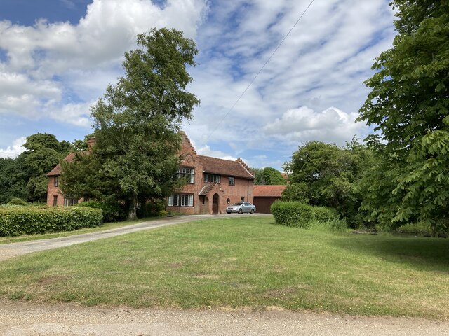
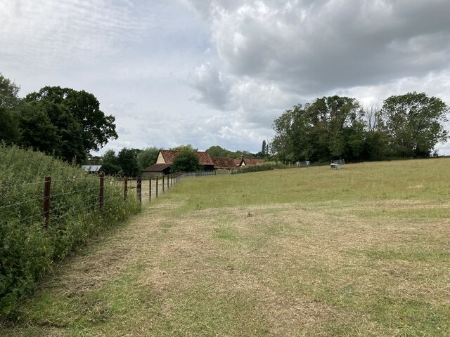
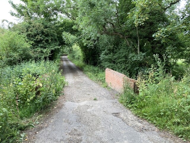
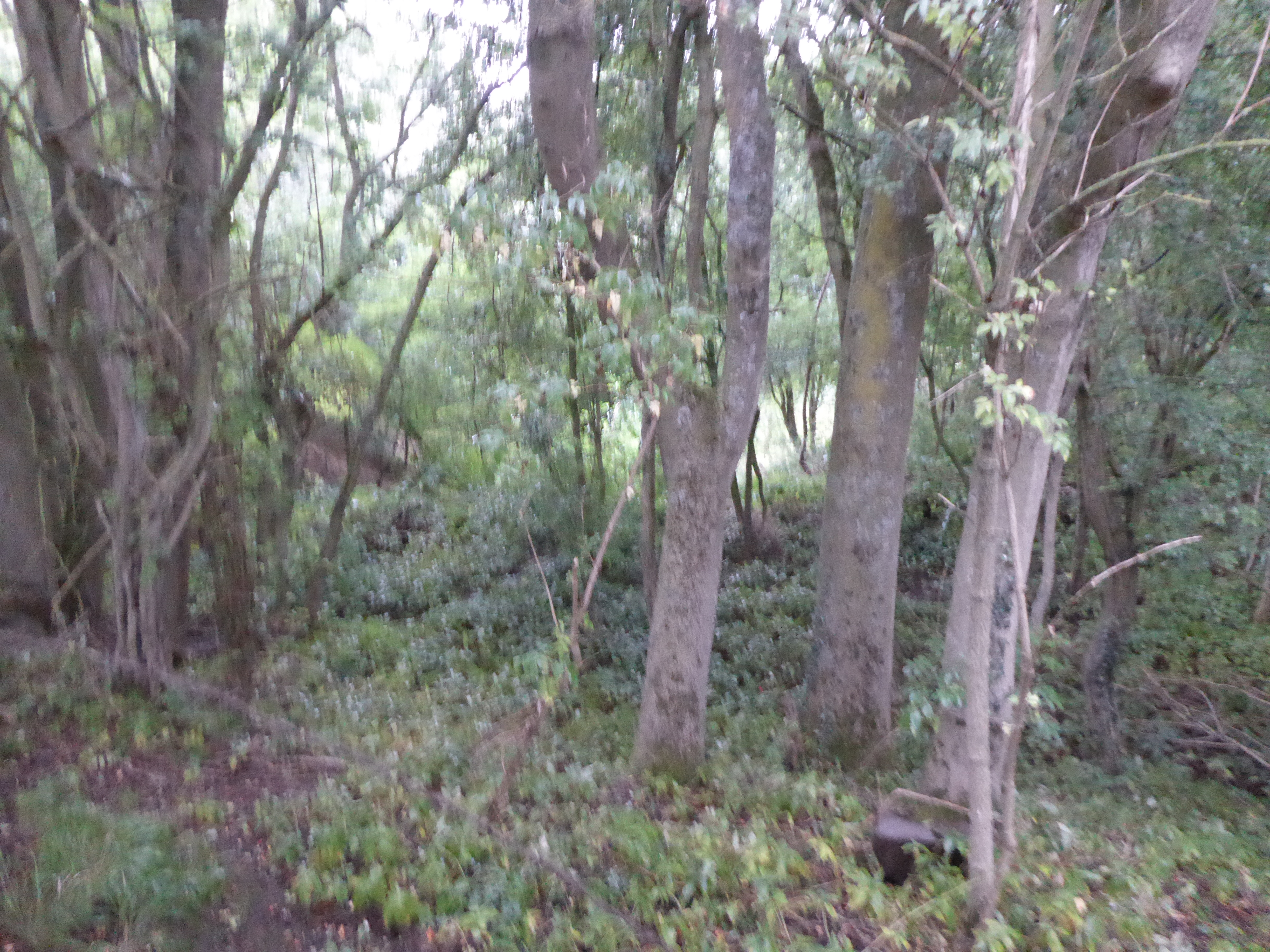
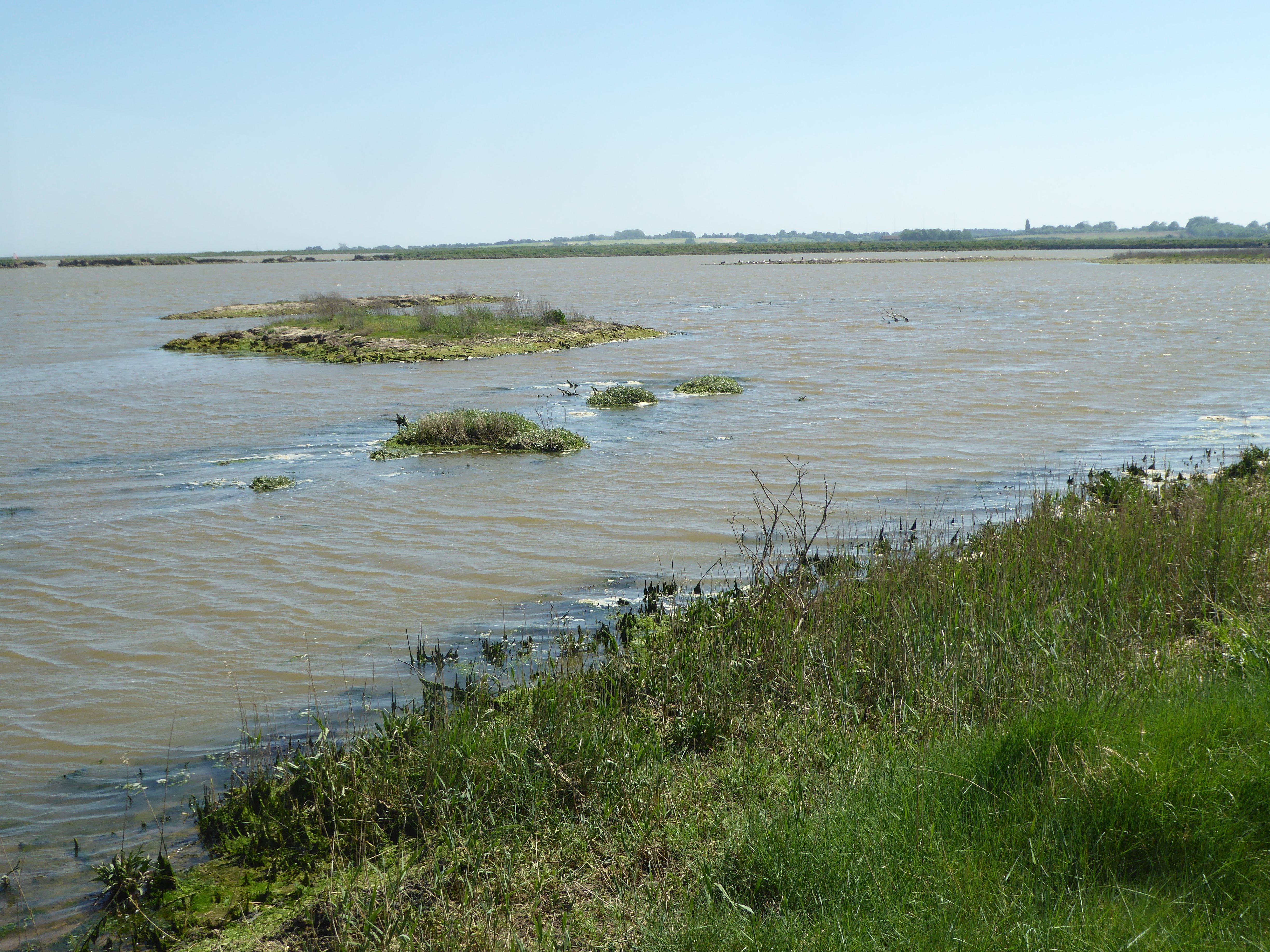
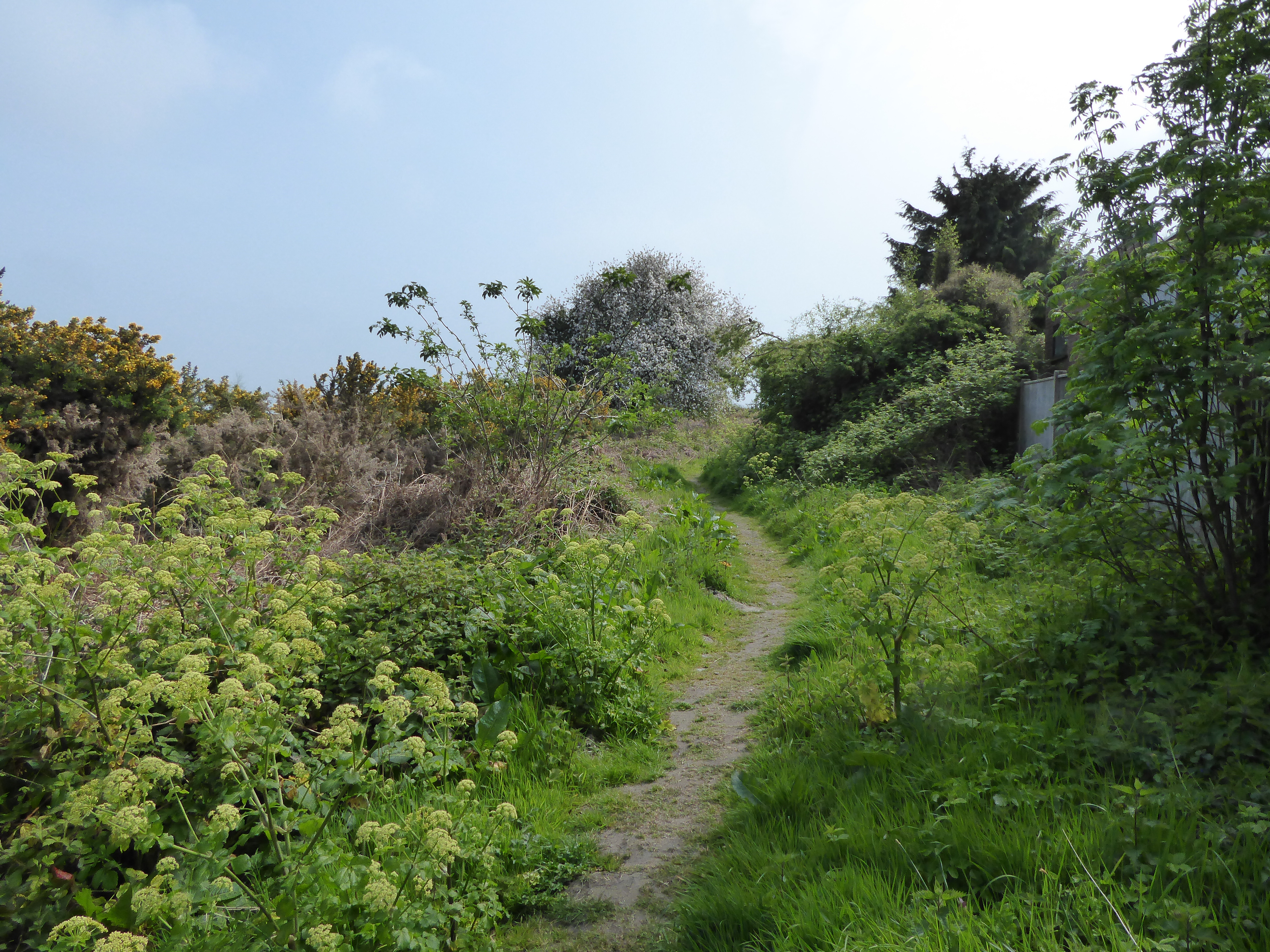
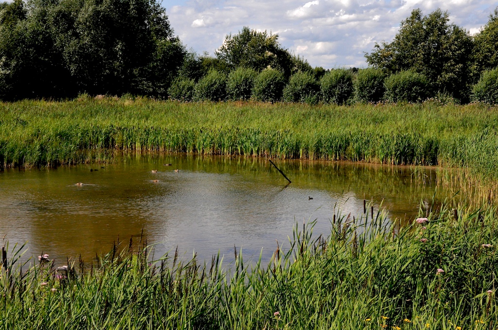
Battisford Images

Images are sourced within 2km of 52.14667/0.986253 or Grid Reference TM0454. Thanks to Geograph Open Source API. All images are credited.

St Mary's Church, Battisford The church is mainly 13th century but the tower fell shortly after the Reformation: <span class="nowrap"><a title="http://www.suffolkchurches.co.uk/battisford.htm" rel="nofollow ugc noopener" href="http://www.suffolkchurches.co.uk/battisford.htm">Link</a><img style="margin-left:2px;" alt="External link" title="External link - shift click to open in new window" src="https://s1.geograph.org.uk/img/external.png" width="10" height="10"/></span>
St Mary's Church, Battisford
The church is mainly 13th century but the tower fell shortly after the Reformation: LinkExternal link
Battisford Hall
Battisford Hall
Vale Farm
Vale Farm
Bridge over the stream near Vale Farm
Hascot Hill, Battisford
Wildflowers on the footpath near Vale Farm
Old Post Office Cottage Old Post Office Cottage near to Ringshall, Suffolk.
Old Post Office Cottage
Old Post Office Cottage near to Ringshall, Suffolk.
Landing Lights Landing lights for R.A.F. Wattisham, Suffolk.
Landing Lights
Landing lights for R.A.F. Wattisham, Suffolk.
Road Junction Road junction off Stowmarket Road near to Ringshall, Suffolk.
Road Junction
Road junction off Stowmarket Road near to Ringshall, Suffolk.
Country Road Country road near to Ringshall, Suffolk.
Country Road
Country road near to Ringshall, Suffolk.
Footpath Sign Footpath sign of minor road near to Ringshall, Suffolk.
Footpath Sign
Footpath sign of minor road near to Ringshall, Suffolk.
Wheat Field Field of cut wheat near to Battisford, Suffolk.
Wheat Field
Field of cut wheat near to Battisford, Suffolk.
Nearly All Cut A wheat field nearly all cut near to Battisford Tye, Suffolk.
Nearly All Cut
A wheat field nearly all cut near to Battisford Tye, Suffolk.
Apple Orchard Apple orchard at Stoke Farm Battisford Tye, Suffolk.
Apple Orchard
Apple orchard at Stoke Farm Battisford Tye, Suffolk.
Battisford Free Church Battisford Free Church Battisford Tye, Suffolk.
Battisford Free Church
Battisford Free Church Battisford Tye, Suffolk.
Village Sign Battisford village sign Battisford Tye, Suffolk. For overall view see <a title="https://www.geograph.org.uk/photo/2565531" href="https://www.geograph.org.uk/photo/2565531">Link</a>
Village Sign
Battisford village sign Battisford Tye, Suffolk. For overall view see Link
Village Sign Village Sign
Battisford village sign Battisford Tye, Suffolk. For close up view see <a title="https://www.geograph.org.uk/photo/2565522" href="https://www.geograph.org.uk/photo/2565522">Link</a>
Village Sign
Village Sign Battisford village sign Battisford Tye, Suffolk. For close up view see Link
Road Junction Road junction of Burnhouse Lane and Battisford Straight guess which is which near to Battisford Tye, Suffolk.
Road Junction
Road junction of Burnhouse Lane and Battisford Straight guess which is which near to Battisford Tye, Suffolk.
Show me another place!

Battisford is located at Grid Ref: TM0454 (Lat: 52.14667, Lng: 0.986253)

Administrative County: Suffolk

District: Mid Suffolk

Police Authority: Suffolk

What 3 Words

///brink.purist.barks. Near Wattisham, Suffolk

Nearby Locations

Tyelay Pond Battisford

Related Wikis

Battisford

Battisford is a village and civil parish in the Mid Suffolk district of Suffolk, England. The village is about 4 miles (6 km) south of Stowmarket, and...

Ringshall, Suffolk

Ringshall is a village and civil parish in the Mid Suffolk district of Suffolk in eastern England. Located around four miles south of Stowmarket, and 13...

Gipping Rural District

Gipping Rural District was a rural district in the county of East Suffolk, England. It was created in 1934 by the merger of the disbanded Bosmere and Claydon...

Hascot Hill Pit

Hascot Hill Pit is a 0.3-hectare (0.74-acre) geological Site of Special Scientific Interest south-west of Needham Market in Suffolk. It is a Geological...

Little London, Suffolk

Little London is a village in Suffolk, to the south of Combs and Stowmarket.

Suffolk Wildlife Trust

Suffolk Wildlife Trust (SWT) describes itself as the county's "nature charity – the only organisation dedicated wholly to safeguarding Suffolk's wildlife...

List of local nature reserves in Suffolk

Suffolk is a county in East Anglia. It is bounded by Norfolk to the north, Cambridgeshire to the west and Essex to the south. With an area of 1,466 square...

List of Sites of Special Scientific Interest in Suffolk

Suffolk is a county in East Anglia. It is bounded by Norfolk to the north, Cambridgeshire to the west, Essex to the south and the North Sea to the east...

Nearby Amenities

Located within 500m of 52.14667,0.986253
Bus Stop
Community Centre
Naptan AtcoCode: 390040657
Naptan Bearing: E
Naptan CommonName: Community Centre
Naptan Indicator: adj
Naptan Landmark: Community Centre
Naptan NaptanCode: sufgapmw
Naptan Street: Straight Road
Naptan Verified: no
Source: naptan_import
Lat/Long: 52.146945/0.9802295
Bus Stop
Community Centre
Local Ref: opp
Naptan AtcoCode: 390040658
Naptan Bearing: W
Naptan BusStopType: CUS
Naptan Landmark: Community Centre
Naptan Street: Straight Road
Naptan Verified: no
Public Transport: platform
Ref: sufgapta
Source: naptan_import
Lat/Long: 52.1468763/0.9802481
Power: pole
Lat/Long: 52.1472943/0.9904324
Power: pole
Lat/Long: 52.1466244/0.9896224
Power: pole
Lat/Long: 52.1446526/0.9817046
Power: pole
Lat/Long: 52.1447382/0.9807202
Power: pole
Lat/Long: 52.1435308/0.9847735
Power: pole
Lat/Long: 52.1479889/0.9912666
Power: pole
Lat/Long: 52.1439036/0.990368
Power: pole
Lat/Long: 52.1430373/0.9835815
Power: pole
Lat/Long: 52.1459578/0.9888257
Power: pole
Lat/Long: 52.1488464/0.9915643
Power: pole
Lat/Long: 52.1445736/0.9827024
Power: pole
Lat/Long: 52.1440287/0.9859693
Power: pole
Lat/Long: 52.1452155/0.9879515
Power: pole
Lat/Long: 52.1439383/0.9830686
Power: pole
Lat/Long: 52.144274/0.9882786
Power: pole
Lat/Long: 52.1445011/0.9870878
Power: pole
Lat/Long: 52.1486604/0.9920605
Power: pole
Lat/Long: 52.1490389/0.9910627
Defibrillator
Booth: KX100
Covered: booth
Defibrillator Location: inside old phone box at western end of Straight Road between Battisford and Battisford Tye
Disused Amenity: telephone
Emergency: defibrillator
Man Made: telephone_box
Lat/Long: 52.1466858/0.9857086
Give Way
Direction: backward
Lat/Long: 52.1466055/0.9860784
Give Way
Direction: forward
Lat/Long: 52.1466907/0.9862319
Give Way
Direction: backward
Lat/Long: 52.1465572/0.9862831
Post Box
Operator: Royal Mail
Post Box Mounting: wooden_post
Post Box Type: lamp
Ref: IP14 8097
Royal Cypher: EIIR
Lat/Long: 52.1469083/0.9796735
The data included in this document is from www.openstreetmap.org. The data is made available under ODbL.

Have you been to Battisford?

Leave your review of Battisford below (or comments, questions and feedback).