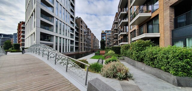
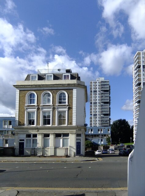
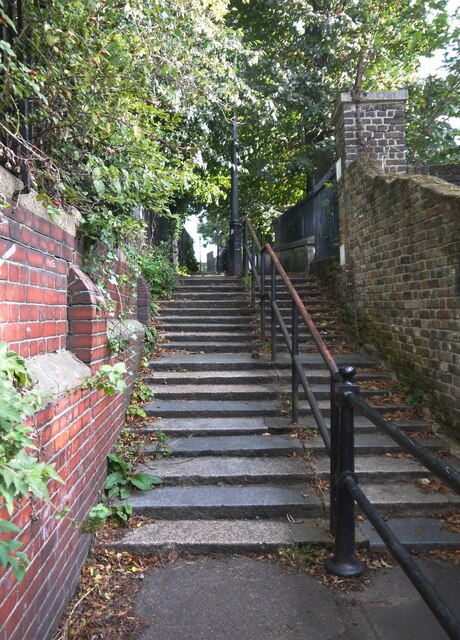
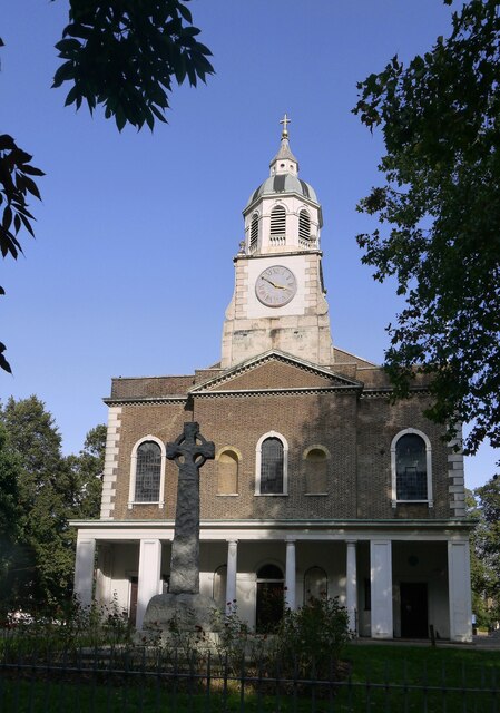
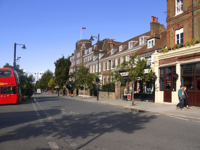
Battersea
Settlement in Surrey
England
Battersea
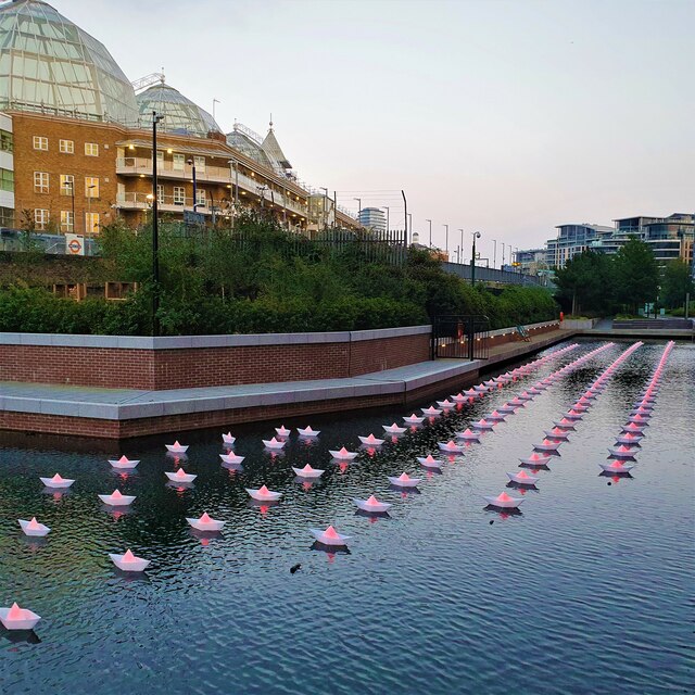
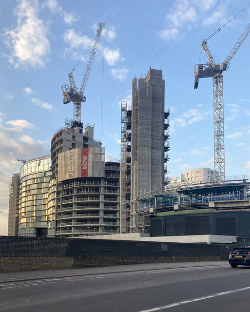
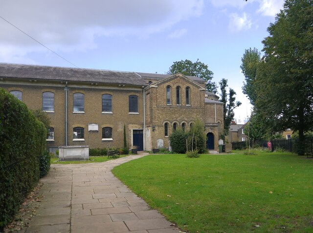
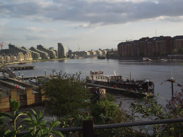
Battersea is a vibrant and diverse district located in the borough of Surrey, England. Situated on the south bank of the River Thames, it is well-known for its iconic power station and picturesque riverside views. With a rich history dating back to the 11th century, Battersea has transformed from a rural area to a thriving urban hub.
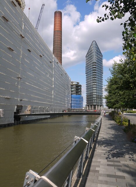
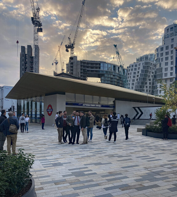
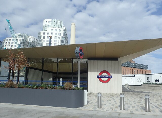
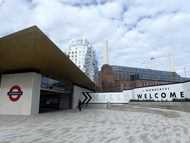
One of the key landmarks in Battersea is the Battersea Power Station, a former coal-fired power station that has become an iconic symbol of the district. Its distinctive art deco architecture and chimneys make it a popular tourist attraction and a recognizable backdrop in films and television shows.
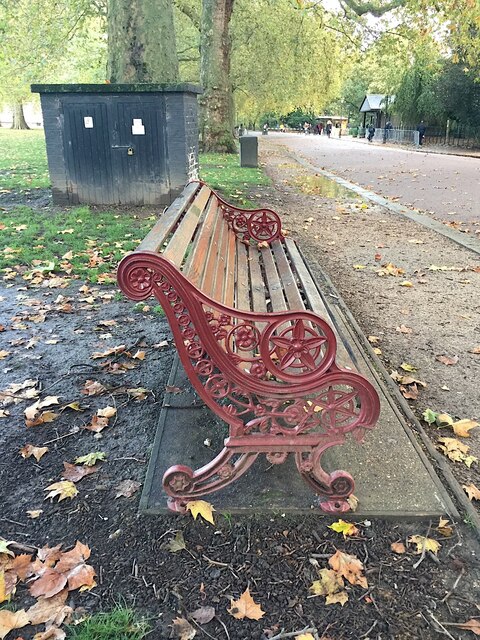
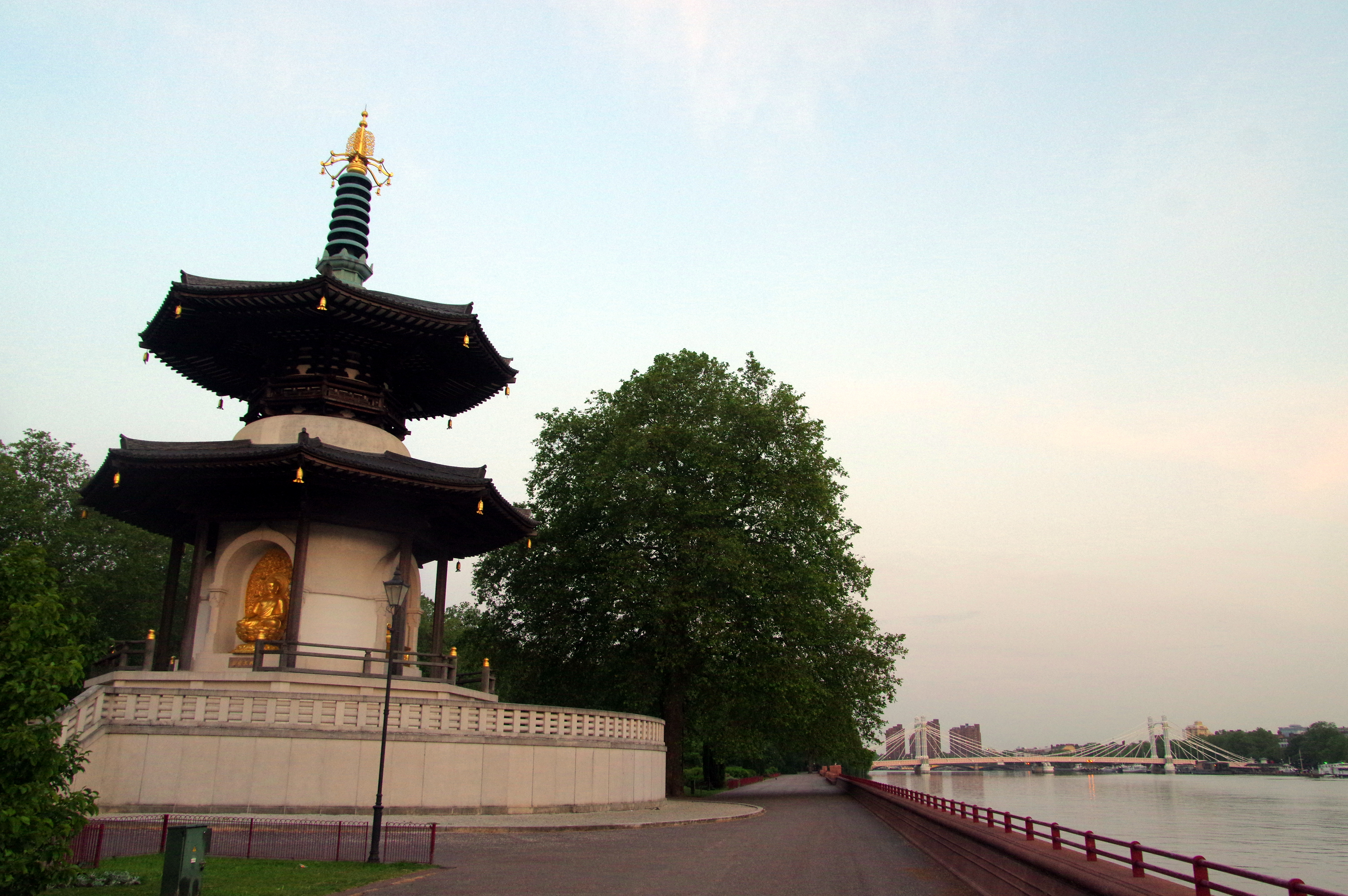
Battersea is also home to a variety of green spaces, including Battersea Park. Spanning over 200 acres, this landscaped park offers a peaceful escape from the bustling city. It features a boating lake, a children's zoo, and sports facilities, making it a popular destination for families and outdoor enthusiasts.
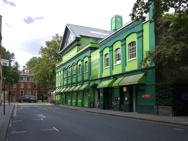
The district boasts a vibrant cultural scene, with numerous art galleries, theaters, and music venues. The Battersea Arts Centre, located in a former town hall, showcases a diverse range of performances, exhibitions, and workshops. Additionally, the New Covent Garden Market, one of the largest wholesale fruit, vegetable, and flower markets in the UK, is situated in Battersea.
Battersea is well-connected to central London, with excellent transport links including train stations and bus routes. It also offers a range of amenities, including shops, restaurants, and cafes, catering to the needs and tastes of its diverse community. With its mix of historical landmarks, green spaces, and cultural offerings, Battersea is a vibrant and sought-after district in Surrey.
If you have any feedback on the listing, please let us know in the comments section below.
Battersea Images
Images are sourced within 2km of 51.473433/-0.161263 or Grid Reference TQ2776. Thanks to Geograph Open Source API. All images are credited.


Battersea is located at Grid Ref: TQ2776 (Lat: 51.473433, Lng: -0.161263)
Unitary Authority: Wandsworth
Police Authority: Metropolitan
What 3 Words
///city.drive.kind. Near Battersea, London
Nearby Locations
Related Wikis
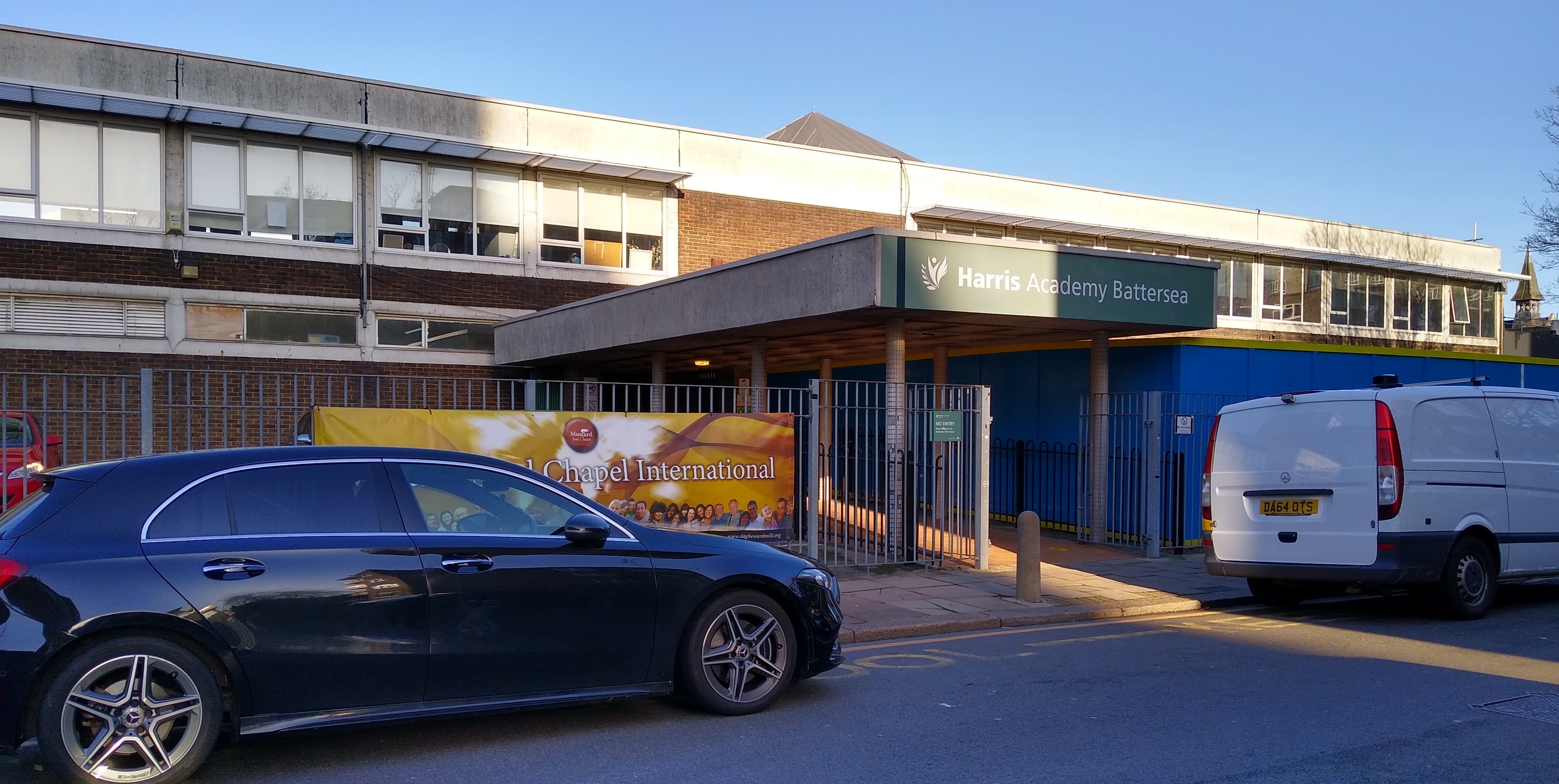
Harris Academy Battersea
Harris Academy Battersea is a coeducational secondary school and sixth form with academy status, located near Battersea Park in the Battersea area of the...
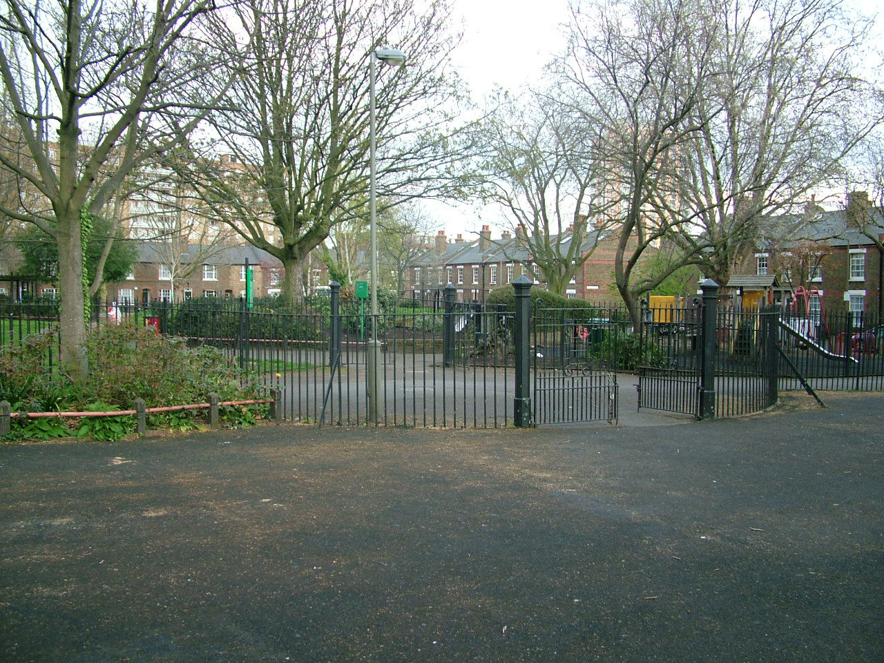
Latchmere Recreation Ground, Battersea
Latchmere Recreation Ground or Latchmere Park is a public open space with a children's playground in Battersea in the London Borough of Wandsworth. It...
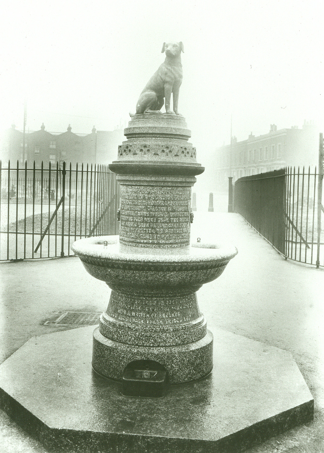
Brown Dog affair
The Brown Dog affair was a political controversy about vivisection that raged in Britain from 1903 until 1910. It involved the infiltration of University...

Latchmere Estate
Latchmere Estate is a housing estate in Battersea, Greater London, which was constructed in 1903. It is the first example of a housing estate built with...
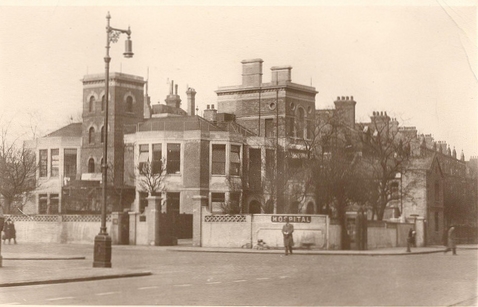
Battersea General Hospital
Battersea General Hospital, known locally as the "Antiviv" or the "Old Anti," was a hospital in Battersea, London. == History == The hospital was founded...
Battersea
Battersea is a large district in southwest London, part of the London Borough of Wandsworth, England. It is centred 3.5 miles (5.6 km) southwest of Charing...
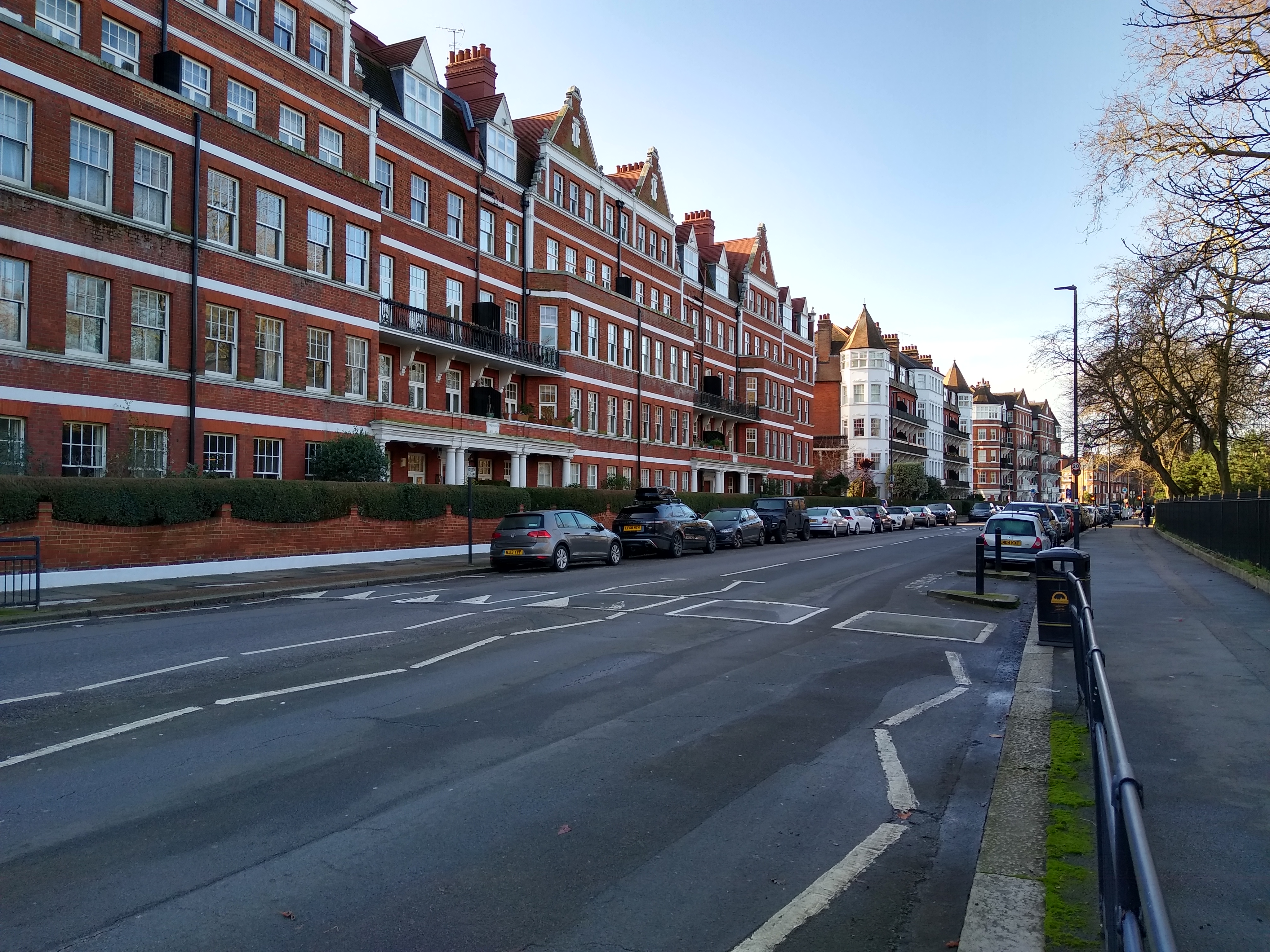
Prince of Wales Drive, London
Prince of Wales Drive is a street in Battersea, in the London borough of Wandsworth. It is situated on the southern perimeter of Battersea Park. ��2...
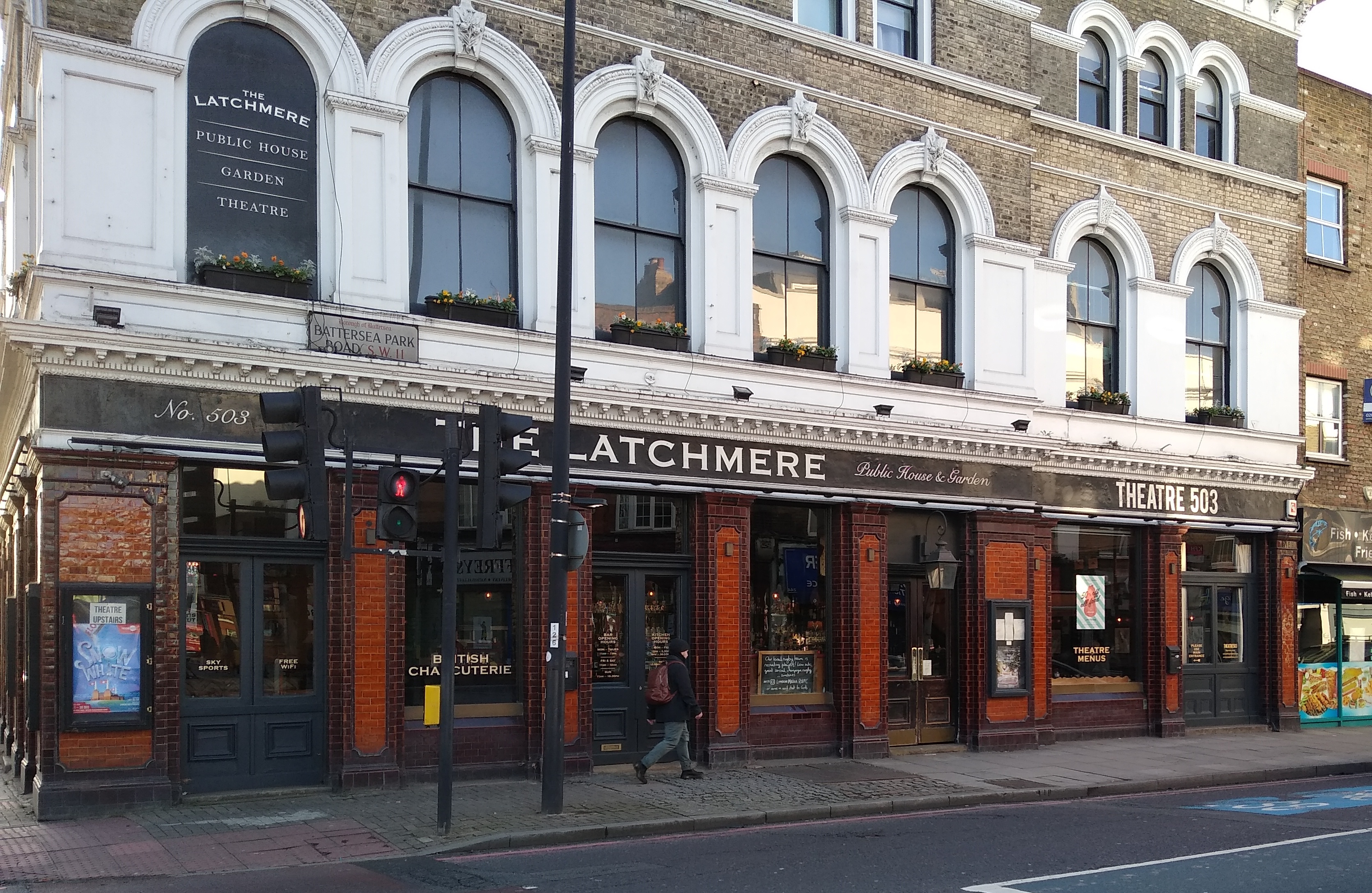
Theatre503
Theatre503, formerly the Latchmere Theatre, is a theatre located at 503 Battersea Park Road in Battersea in the London Borough of Wandsworth, above the...
Nearby Amenities
Located within 500m of 51.473433,-0.161263Have you been to Battersea?
Leave your review of Battersea below (or comments, questions and feedback).