Moray Firth

Sea, Estuary, Creek in Aberdeenshire

Scotland

Moray Firth

Memorial, Fraserburgh Harbour, Aberdeenshire The memorial commemorates 13 Fraserburgh lifeboat crew who have died in three separate incidents.  Behind is the lifeboat station with an Ordnance Survey active station on it (the white dome).  In the background is fishing boat FR226 Challenge.
Memorial, Fraserburgh Harbour, Aberdeenshire Credit: Claire Pegrum

The Moray Firth is a large body of water located on the northeast coast of Scotland, specifically in Aberdeenshire. It stretches from the Duncansby Head in the north to Fraserburgh in the south, covering an area of approximately 3,500 square kilometers. It is known for its stunning natural beauty and diverse marine life.

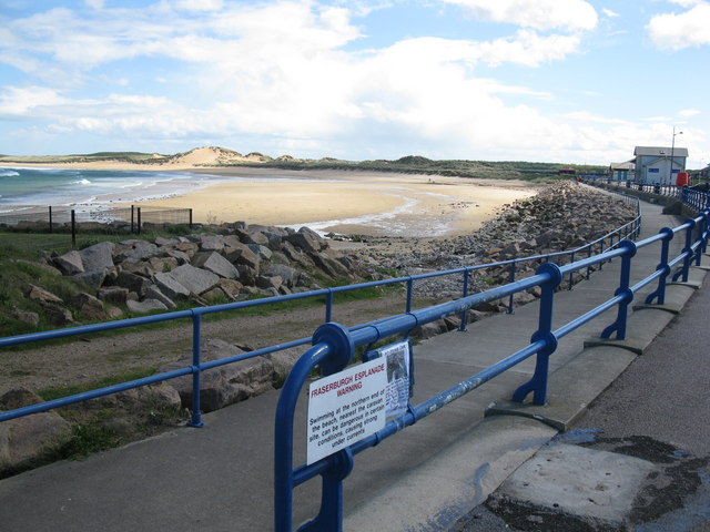
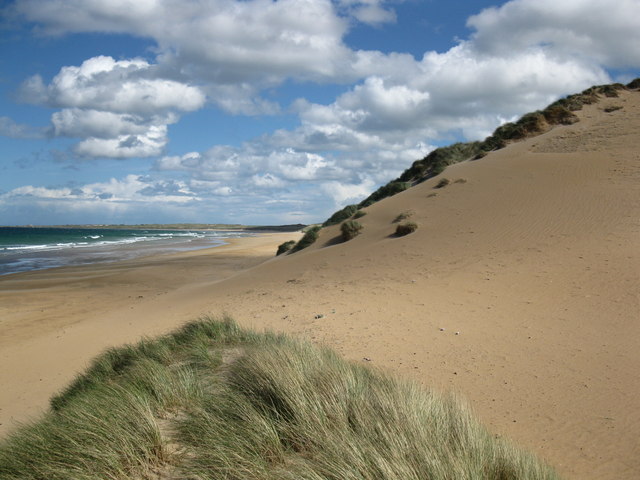
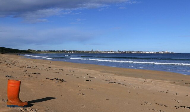
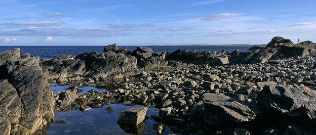
The Moray Firth is a sea inlet, which combines elements of a sea, estuary, and creek. It is surrounded by picturesque coastal cliffs and sandy beaches, making it a popular destination for tourists and nature enthusiasts. The area is also rich in history, with numerous archaeological sites and castles dotting the coastline.

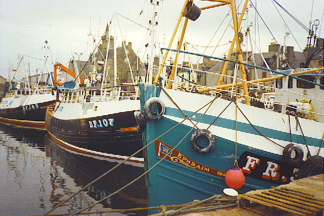
The firth serves as a thriving habitat for a wide variety of marine creatures. It is home to a resident population of bottlenose dolphins, which are often spotted frolicking in the waters. Seals, porpoises, and minke whales can also be found in the area. The waters of the Moray Firth are teeming with fish, attracting fishermen from far and wide.

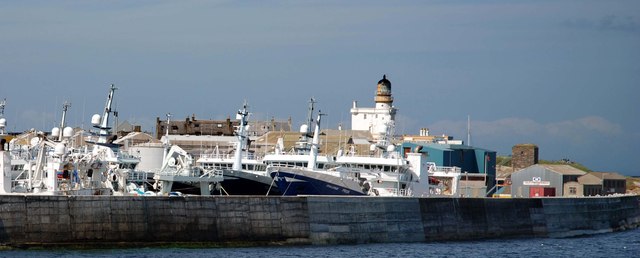
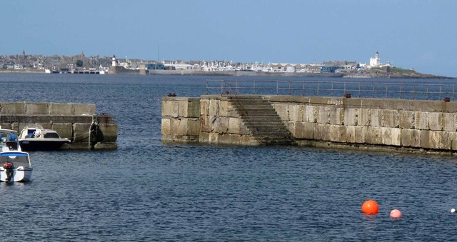
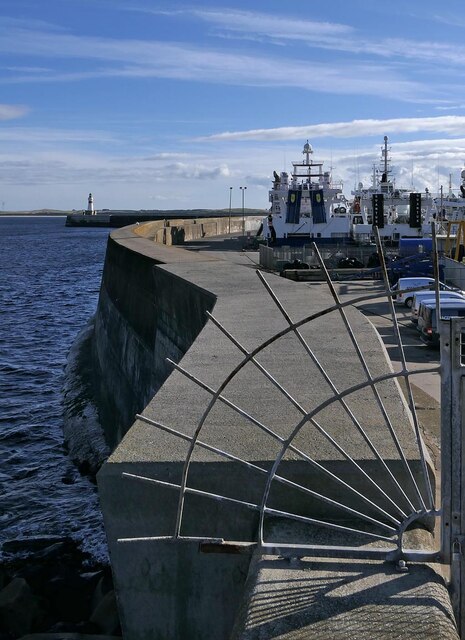
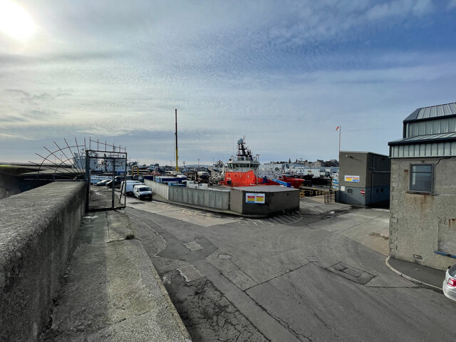
Additionally, the Moray Firth plays a significant role in the local economy. It serves as a major shipping route, connecting the port of Inverness to the North Sea. The firth also supports a thriving offshore oil and gas industry, contributing to the region's economic growth.

Overall, the Moray Firth in Aberdeenshire is a stunning natural feature that combines breathtaking scenery, diverse wildlife, and economic importance. It is a must-visit destination for those seeking to explore the beauty of Scotland's coastline.

If you have any feedback on the listing, please let us know in the comments section below.
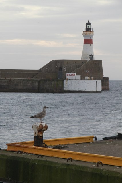
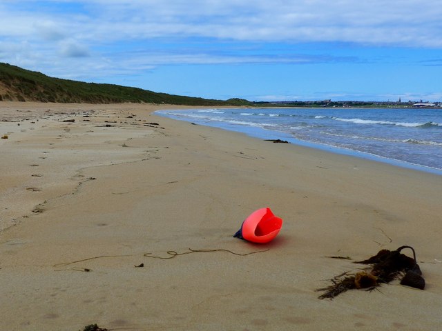
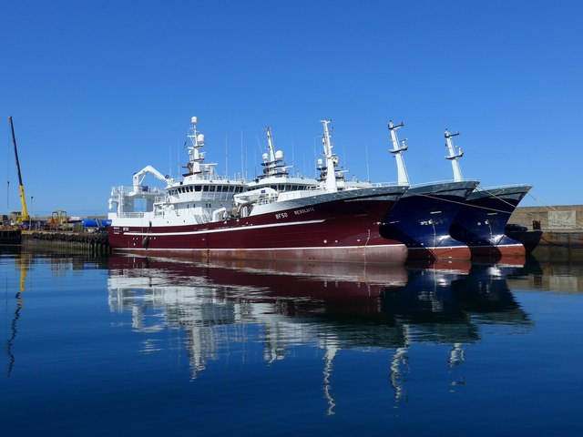
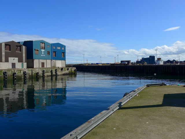
Moray Firth Images

Images are sourced within 2km of 57.693169/-1.9718228 or Grid Reference NK0167. Thanks to Geograph Open Source API. All images are credited.

Memorial, Fraserburgh Harbour, Aberdeenshire The memorial commemorates 13 Fraserburgh lifeboat crew who have died in three separate incidents.  Behind is the lifeboat station with an Ordnance Survey active station on it (the white dome).  In the background is fishing boat FR226 Challenge.
Memorial, Fraserburgh Harbour, Aberdeenshire
The memorial commemorates 13 Fraserburgh lifeboat crew who have died in three separate incidents. Behind is the lifeboat station with an Ordnance Survey active station on it (the white dome). In the background is fishing boat FR226 Challenge.
Fishing boats, Farserburgh Harbour, Aberdeenshire Something of a contrast in size between the potter Melita FR27 and the pelagic trawler Challenge FR226.
Fishing boats, Farserburgh Harbour, Aberdeenshire
Something of a contrast in size between the potter Melita FR27 and the pelagic trawler Challenge FR226.
Balaclava Harbour, Fraserburgh, Aberdeenshire Balaclava Harbour is the northernmost area of Fraserburgh Harbour.  Work started on it in 1851 and it was named after the battle of 1854.
Balaclava Harbour, Fraserburgh, Aberdeenshire
Balaclava Harbour is the northernmost area of Fraserburgh Harbour. Work started on it in 1851 and it was named after the battle of 1854.
Kinnard Head Lighthouse
Fraserburgh Esplanade and beach The beach to the south of Fraserburgh harbour is sheltered and the sand stretches for miles.
Fraserburgh Esplanade and beach
The beach to the south of Fraserburgh harbour is sheltered and the sand stretches for miles.
Edge of the dunes The edge of the dunes and the sandy beach stretching into the distance.
Edge of the dunes
The edge of the dunes and the sandy beach stretching into the distance.
Fraserburgh breakwater and lighthouse The fishing vessels in this picture are pelagic trawlers.  They fish for mackerel and other pelagic species
Fraserburgh breakwater and lighthouse
The fishing vessels in this picture are pelagic trawlers. They fish for mackerel and other pelagic species
Fraserburgh from Cairnbulg Cairnbulg harbour in the foreground is mainly for pleasure craft.  Fraserburgh harbour is one of Scotland's main fishing ports with a distant water pelagic trawler fleet (the largest fishing vessels in Britain), a near water seine net fleet, and a local shell fish fleet.
Fraserburgh from Cairnbulg
Cairnbulg harbour in the foreground is mainly for pleasure craft. Fraserburgh harbour is one of Scotland's main fishing ports with a distant water pelagic trawler fleet (the largest fishing vessels in Britain), a near water seine net fleet, and a local shell fish fleet.
Fraserburgh Lighthouse One of the Lighthouses at Fraserburgh
Fraserburgh Lighthouse
One of the Lighthouses at Fraserburgh
Beach and dunes at Fraserburgh Bay The town of Fraserburgh itself in the distance.
Beach and dunes at Fraserburgh Bay
The town of Fraserburgh itself in the distance.
Modern fishing The huge pelagic trawler Resolute and two of her sisters lie in Balaclava Harbour, Fraserburgh.  Resolute is 65 metres in length.
Modern fishing
The huge pelagic trawler Resolute and two of her sisters lie in Balaclava Harbour, Fraserburgh. Resolute is 65 metres in length.
Way to the entrance to Fraserburgh Harbour
Fraserburgh Bay, Aberdeenshire Looking northwest across the bay towards Fraserburgh.
Fraserburgh Bay, Aberdeenshire
Looking northwest across the bay towards Fraserburgh.
Pillbox, Fraserburgh Bay, Aberdeenshire The pillbox is a CEScC 2893 which is a Scottish variant of the Type 24 design.  It has changed in appearance somewhat since it was Geographed just four months earlier: <a href="https://www.geograph.org.uk/photo/6865341">NK0165 : Eyes out to sea</a>.
Pillbox, Fraserburgh Bay, Aberdeenshire
The pillbox is a CEScC 2893 which is a Scottish variant of the Type 24 design. It has changed in appearance somewhat since it was Geographed just four months earlier: NK0165 : Eyes out to sea.
Balaclava Pier, Fraserburgh, Aberdeenshire Work originally began on this area of Fraserburgh Harbour in 1851 and it was named after the battle of 1854.
Balaclava Pier, Fraserburgh, Aberdeenshire
Work originally began on this area of Fraserburgh Harbour in 1851 and it was named after the battle of 1854.
Lackie Head, Aberdeenshire Looking across Fraserburgh Bay towards Inverallochy.
Lackie Head, Aberdeenshire
Looking across Fraserburgh Bay towards Inverallochy.
Fraserburgh Harbour and seawall
Kinnaird Head Lighthouse Fresnel Lens Broch coastline through the lens.
Kinnaird Head Lighthouse Fresnel Lens
Broch coastline through the lens.
Show me another place!

Moray Firth is located at Grid Ref: NK0167 (Lat: 57.693169, Lng: -1.9718228)

Unitary Authority: Aberdeenshire

Police Authority: North East

What 3 Words

///mocked.tucked.lawful. Near Fraserburgh, Aberdeenshire

Nearby Locations

Moray Firth

Related Wikis

Fraserburgh railway station

Fraserburgh railway station is a former railway station that once served the town of Fraserburgh, Aberdeenshire. == History == The station was the terminus...

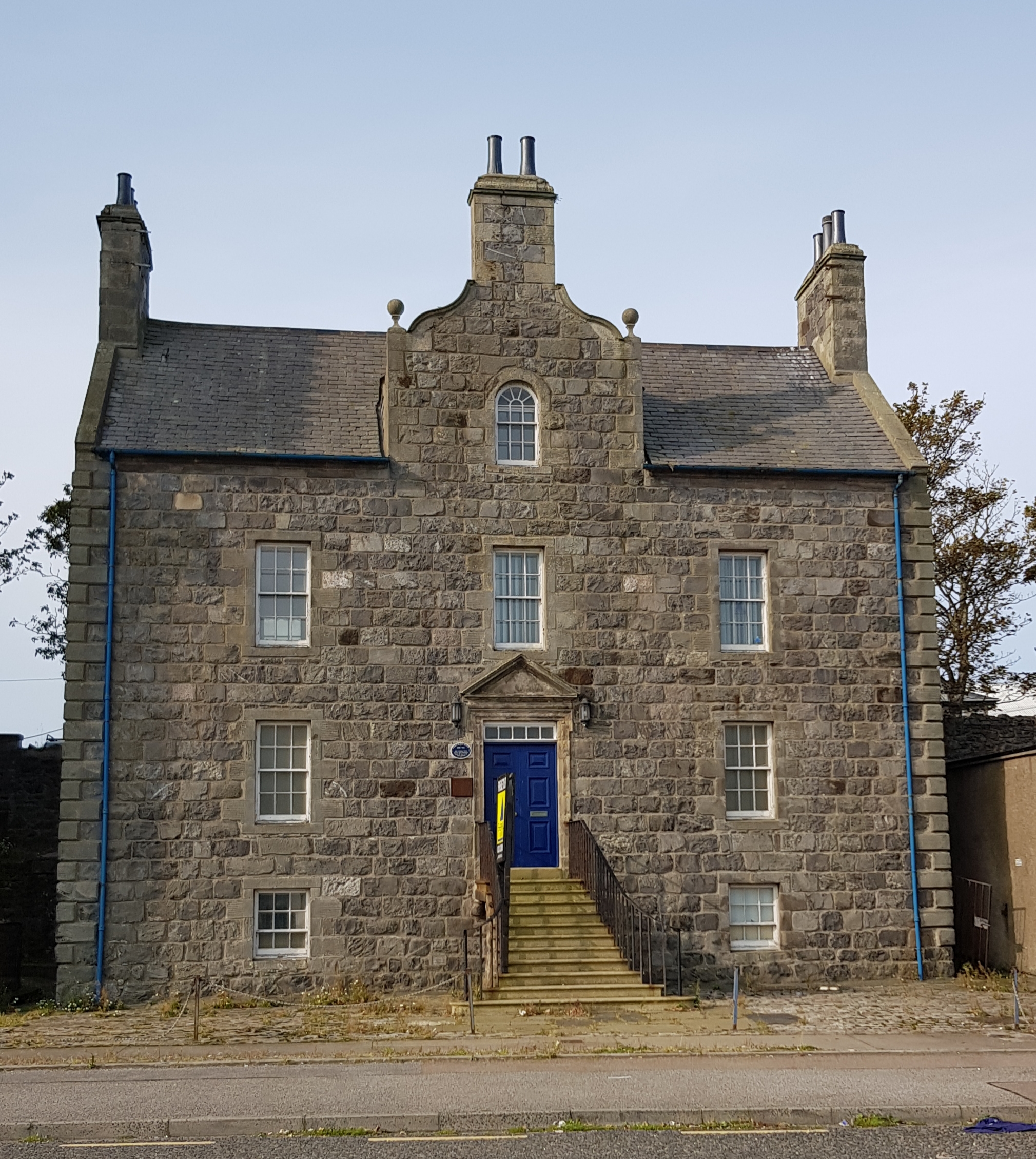
The World's End, Fraserburgh

The World's End is an historic townhouse in Fraserburgh, Scotland, standing on Dalyrmple Street. Category B listed, it dates to around 1767.The structure...

Dalyrmple Hall

Dalyrmple Hall is a building in Fraserburgh, Scotland, standing on Dalyrmple Street at its junction with Station Brae. Category C listed, in the Scottish...

Bellslea Park

Bellslea Park is a football ground in Fraserburgh in north-east Scotland, which is the home ground of Highland Football League side Fraserburgh. It is...

Fraserburgh Town House

Fraserburgh Town House is a municipal building in Saltoun Square, Fraserburgh, Scotland. The building, which was the headquarters of Fraserburgh Burgh...

Fraserburgh

Fraserburgh (; Scots: The Broch or Faithlie; Scottish Gaelic: A' Bhruaich) is a town in Aberdeenshire, Scotland with a population recorded in the 2011...
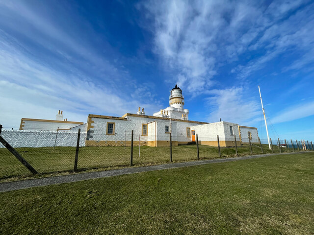
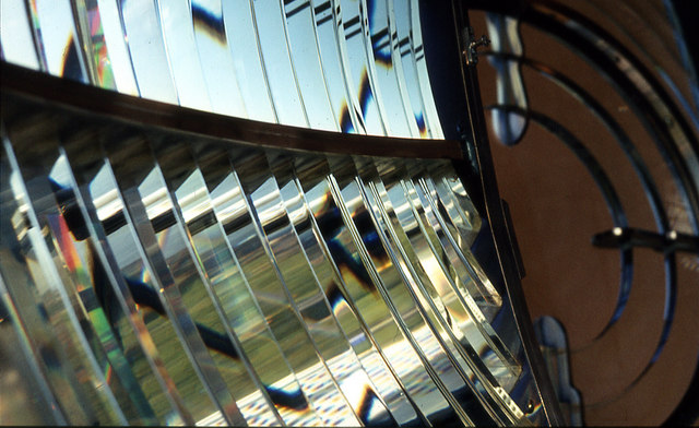
Kinnaird Head

Kinnaird Head (Scottish Gaelic: An Ceann Àrd, "high headland") is a headland projecting into the North Sea, within the town of Fraserburgh, Aberdeenshire...

German submarine U-3 (1935)

German submarine U-3 was a Type IIA U-boat laid down at the Deutsche Werke in Kiel on 11 February 1935 as yard number 238. She was commissioned into the...

Related Videos

Scotland Travel and Tourism | 48 Hours In Fraserburgh

Join me as I team up with Discover Fraserburgh to show you all the amazing things to see and do in and around the town.

Fraserburgh Scotland Walking Tour 4K 60fps

Fraserburgh Scotland Walking Tour 4K 60fps. Take a stroll through the beautiful town of Fraserburgh, Scotland, with us! Explore ...

Fraserburgh [Aberdeenshire] | CINEMATIC 4K

Cinematic footage of Fraserburgh taken last year. Shot on a Samsung s10 plus Edited on Kinemaster SOCIAL MEDIA Facebook: ...

Have you been to Moray Firth?

Leave your review of Moray Firth below (or comments, questions and feedback).