Aber Rhigian
Sea, Estuary, Creek in Pembrokeshire
Wales
Aber Rhigian

Aber Rhigian is a picturesque coastal area located in Pembrokeshire, Wales. Situated along the western coastline, it encompasses a pristine sea, estuary, and creek, making it a haven for nature enthusiasts and water sport enthusiasts alike.
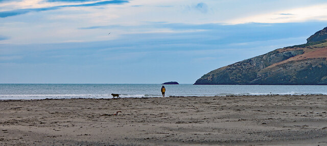
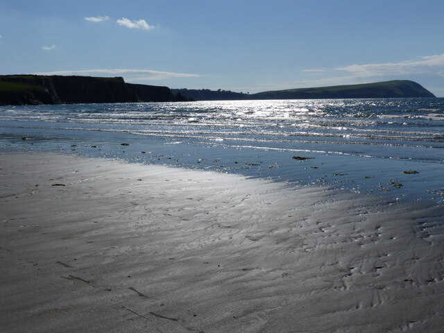
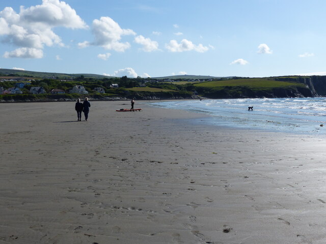
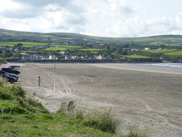
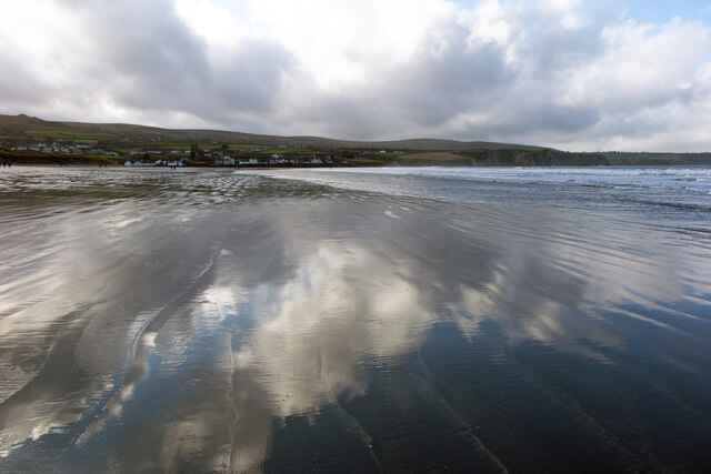
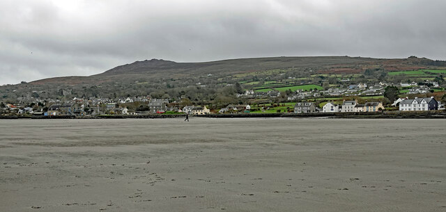
The sea at Aber Rhigian is known for its crystal-clear waters and sandy beaches, attracting tourists from far and wide. The coastline stretches for several kilometers, offering plenty of space for sunbathing, picnicking, and leisurely walks along the shore. The sea is also popular for swimming, snorkeling, and diving due to its calm and inviting waters.
The estuary at Aber Rhigian is a tranquil haven for wildlife and is a designated nature reserve. It is home to a diverse range of bird species, including herons, oystercatchers, and cormorants, making it a paradise for birdwatchers. The estuary is also a breeding ground for various fish species, attracting anglers seeking a bountiful catch.
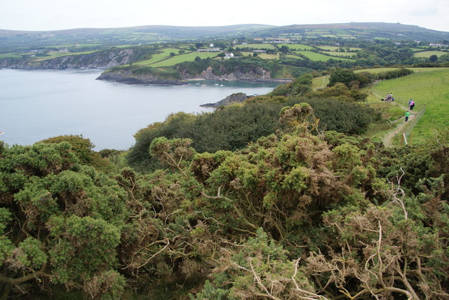
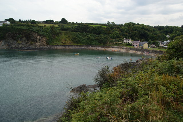
Adjacent to the estuary is a meandering creek that winds its way through the lush green countryside. The creek provides a serene environment for kayaking, canoeing, and sailing, allowing visitors to immerse themselves in the beauty of nature. The creek is also a popular spot for wildlife spotting, with otters and seals often seen frolicking in the water.
Overall, Aber Rhigian offers a unique blend of sea, estuary, and creek, creating a diverse ecosystem that is teeming with natural beauty. Whether one is seeking relaxation, adventure, or an opportunity to connect with nature, Aber Rhigian is a must-visit destination in Pembrokeshire.
If you have any feedback on the listing, please let us know in the comments section below.
Aber Rhigian Images
Images are sourced within 2km of 52.02148/-4.8702658 or Grid Reference SN0339. Thanks to Geograph Open Source API. All images are credited.


Aber Rhigian is located at Grid Ref: SN0339 (Lat: 52.02148, Lng: -4.8702658)
Unitary Authority: Pembrokeshire
Police Authority: Dyfed Powys
What 3 Words
///necklaces.staked.opera. Near Newport, Pembrokeshire
Nearby Locations
Related Wikis

Newport Bay (Wales)
Newport Bay (Welsh: Bae Trefdraeth) is a bay on a section of the north Pembrokeshire coast, Wales, which is within the Pembrokeshire Coast National Park...

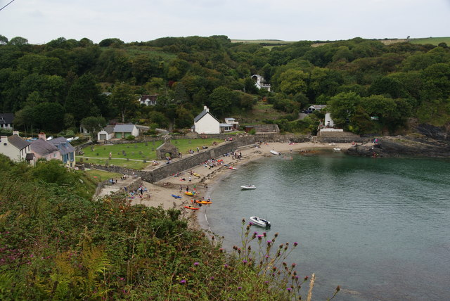
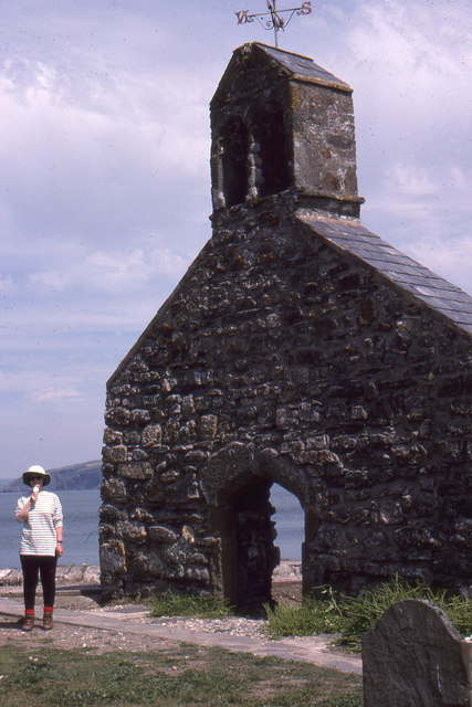
Cwm-yr-Eglwys
Cwm-yr-Eglwys (English: Valley of the Church) is a hamlet in a picturesque cove on the eastern side of the Dinas Island peninsula in the community of Dinas...

River Nevern
The River Nevern (Welsh: Afon Nyfer) is a river in Pembrokeshire, Wales. Its source is north of the village of Crymych and its length is about 11 miles...
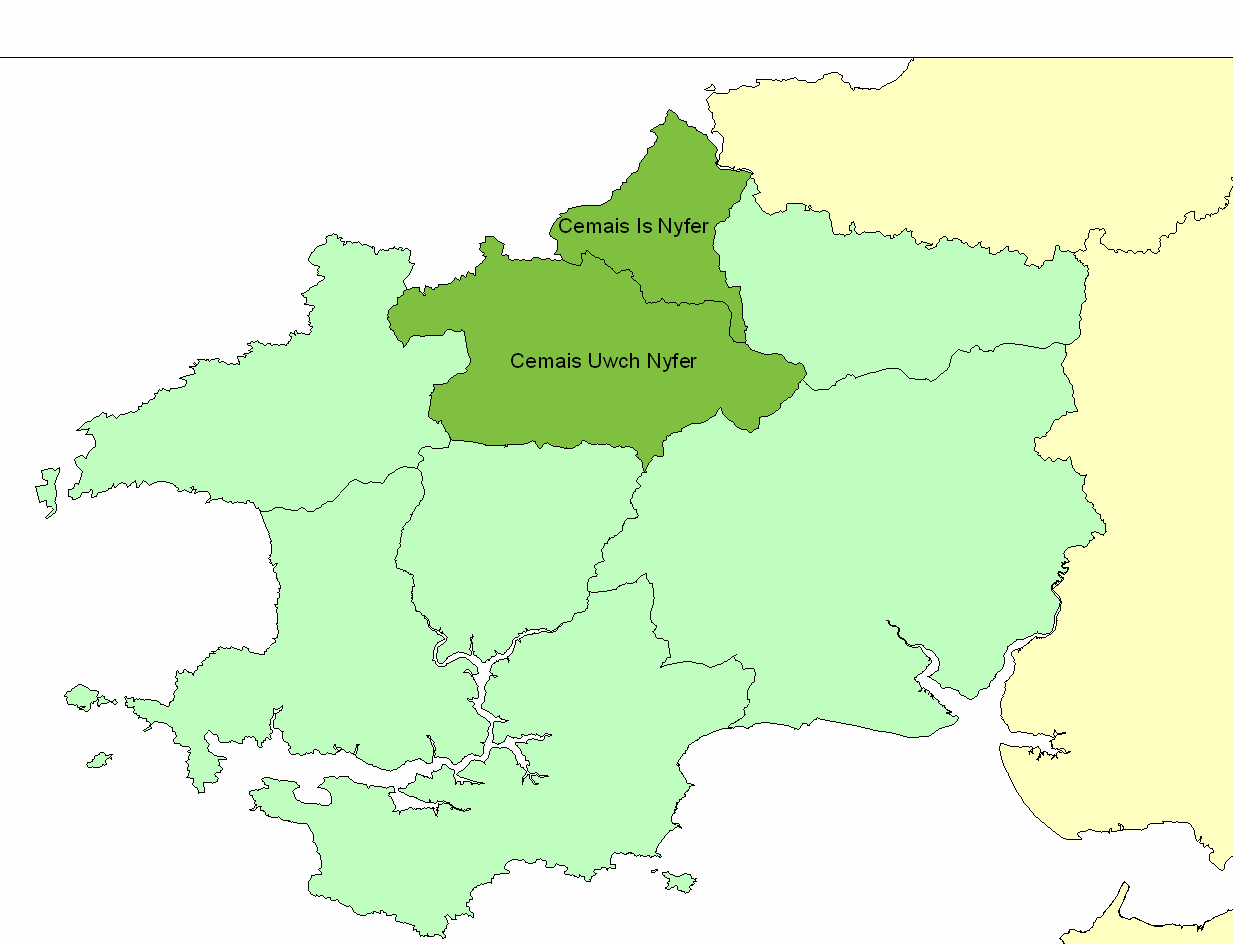
Cemais Is Nyfer
Cemais Is Nyfer was a mediaeval commote in the Dyfed cantref of Cemais, Wales. It consisted of the territory between the rivers Nyfer and Teifi, and comprised...

Brynhenllan
Bryn-henllan, Bryn Henllan or Brynhenllan is a small settlement in the community of Dinas Cross, north Pembrokeshire, Wales, just north of the A487 road...
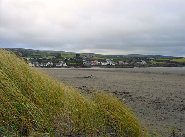
Newport, Pembrokeshire
Newport (Welsh: Trefdraeth, meaning: "town by the beach") is a town, community, electoral ward and ancient port of Parrog, on the Pembrokeshire coast in...

Cwm Dewi
Cwm Dewi is a Site of Special Scientific Interest (or SSSI) in Pembrokeshire, South Wales. It has been designated as a Site of Special Scientific Interest...

Dinas Island
Dinas Island (Welsh: Ynys Dinas) is a peninsula, partially detached from the mainland, in the community of Dinas Cross between Fishguard and Newport, Pembrokeshire...
Nearby Amenities
Located within 500m of 52.02148,-4.8702658Have you been to Aber Rhigian?
Leave your review of Aber Rhigian below (or comments, questions and feedback).