Rhigian

Settlement in Pembrokeshire

Wales

Rhigian

Morfa Beach: Christmas Day 2021 A collection of photographs taken around midday by Geographers from all over Britain and Ireland. 
See all the images on the map: <a title="https://www.geograph.org.uk/stuff/xmas.php?year=2021" href="https://www.geograph.org.uk/stuff/xmas.php?year=2021">Link</a>
Morfa Beach: Christmas Day 2021 Credit: Dylan Moore

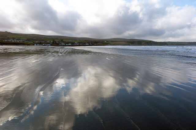
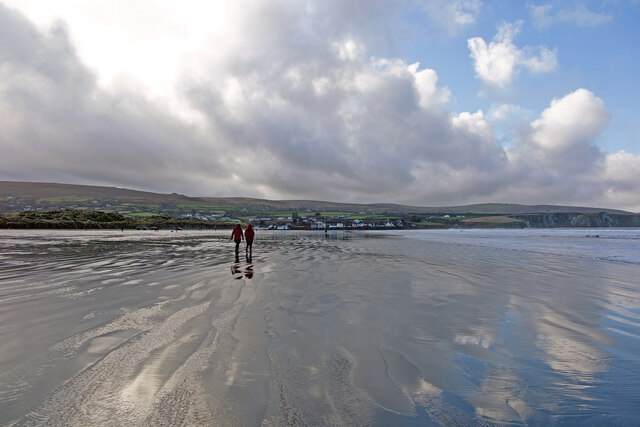
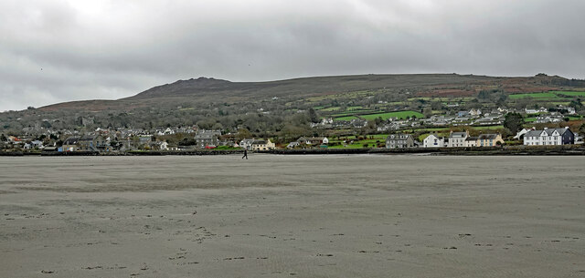
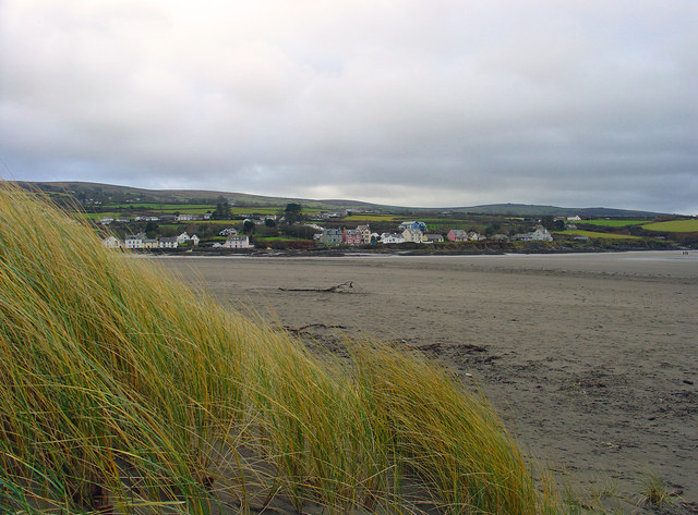
Rhigian is a charming village located in the county of Pembrokeshire, Wales. Situated on the western coast of the country, it is nestled amidst picturesque countryside and just a short distance from the stunning Pembrokeshire Coast National Park. The village is located about 3 miles northeast of the popular coastal town of Fishguard.

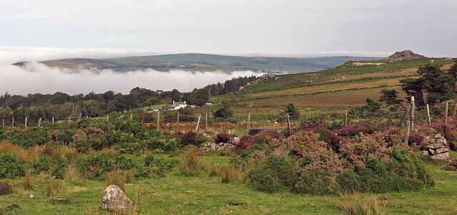
Rhigian is known for its tranquil and idyllic setting, making it a haven for those seeking a peaceful retreat or a base for exploring the surrounding natural beauty. The village is surrounded by rolling hills, lush green fields, and meandering streams, providing ample opportunities for walking, hiking, and cycling.

In addition to its scenic beauty, Rhigian also offers a range of amenities for residents and visitors alike. The village is home to a local pub, where visitors can enjoy a pint of traditional Welsh ale and indulge in delicious homemade pub food. There are also a few quaint bed and breakfast establishments, offering comfortable accommodation for those looking to spend a night or two in the area.

For history enthusiasts, Rhigian boasts a rich heritage, with several historical sites nearby. The nearby town of Fishguard is famous for its role in the last invasion of Britain in 1797, and visitors can explore the historic Fishguard Fort to learn more about this fascinating event.

Overall, Rhigian is a charming village that offers a peaceful and scenic escape, with ample opportunities for outdoor activities and a taste of Welsh history.

If you have any feedback on the listing, please let us know in the comments section below.
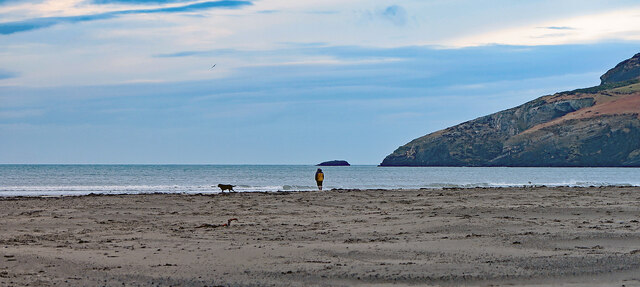
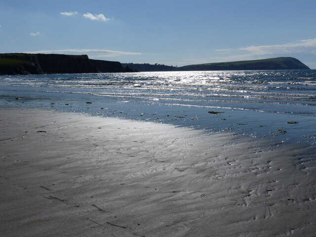
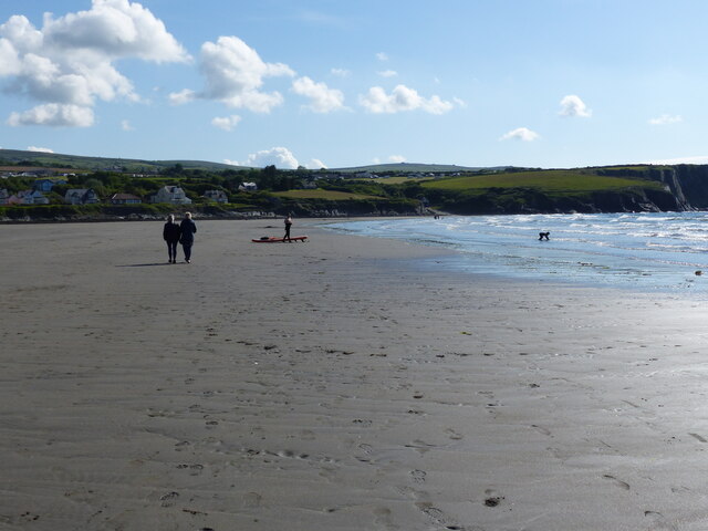
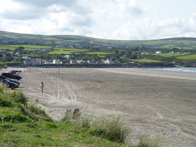
Rhigian Images

Images are sourced within 2km of 52.015062/-4.864389 or Grid Reference SN0339. Thanks to Geograph Open Source API. All images are credited.

Morfa Beach: Christmas Day 2021 A collection of photographs taken around midday by Geographers from all over Britain and Ireland. 
See all the images on the map: <a title="https://www.geograph.org.uk/stuff/xmas.php?year=2021" href="https://www.geograph.org.uk/stuff/xmas.php?year=2021">Link</a>
Morfa Beach: Christmas Day 2021
A collection of photographs taken around midday by Geographers from all over Britain and Ireland. See all the images on the map: Link
Low tide at Newport Sands, looking west
People on the beach at Newport Sands
Parrog, Newport from Newport Sands
Newport Sands: midday Christmas 2022
Newport Sands: Midday Christmas 2022 The weather forecast was for wet and cloudy weather, but as so often, the rain from the southwest never quite made it over Preseli, and it was a glorious sunny morning.
Newport Sands: Midday Christmas 2022
The weather forecast was for wet and cloudy weather, but as so often, the rain from the southwest never quite made it over Preseli, and it was a glorious sunny morning.
A bleak Newport Beach: Christmas Day 2023 The ancient borough of Newport and Carn Ingli form the backdrop.
A bleak Newport Beach: Christmas Day 2023
The ancient borough of Newport and Carn Ingli form the backdrop.
Newport Sands on a bitter day in February
Newport Sands: Christmas Day
Sandbank at low spring tide Water percolating through the sands flows northeast in the channel to the right.
Sandbank at low spring tide
Water percolating through the sands flows northeast in the channel to the right.
Newport Beach: mid-day Christmas 2013 A collection of photographs taken around midday by Geographers from all over Britain and Ireland. 
See all the images on the map: <a title="https://www.geograph.org.uk/stuff/xmas.php?year=2013" href="https://www.geograph.org.uk/stuff/xmas.php?year=2013">Link</a>
Newport Beach: mid-day Christmas 2013
A collection of photographs taken around midday by Geographers from all over Britain and Ireland. See all the images on the map: Link
High tide in Newport Bay on a blustery Christmas Day
Across Newport Bay At low tide
Across Newport Bay
At low tide
Pont Ceunant: Newport Sea mist fills Newport Bay. In the foreground are the fields of the abandoned settlement of Pont Ceunant, one of half a dozen smallholdings that occupied this hillside in the nineteenth century. The nearest settlement now is Pen-lan-ceunant, left of centre.
Pont Ceunant: Newport
Sea mist fills Newport Bay. In the foreground are the fields of the abandoned settlement of Pont Ceunant, one of half a dozen smallholdings that occupied this hillside in the nineteenth century. The nearest settlement now is Pen-lan-ceunant, left of centre.
Parrog Wharf: Christmas Day 2021
Parrog old wharf
Parrog old wharf
Houses at Parrog: late winter afternoon
Show me another place!

Rhigian is located at Grid Ref: SN0339 (Lat: 52.015062, Lng: -4.864389)

Unitary Authority: Pembrokeshire

Police Authority: Dyfed Powys

What 3 Words

///quickly.perusing.begun. Near Newport, Pembrokeshire

Related Wikis

River Nevern

The River Nevern (Welsh: Afon Nyfer) is a river in Pembrokeshire, Wales. Its source is north of the village of Crymych and its length is about 11 miles...
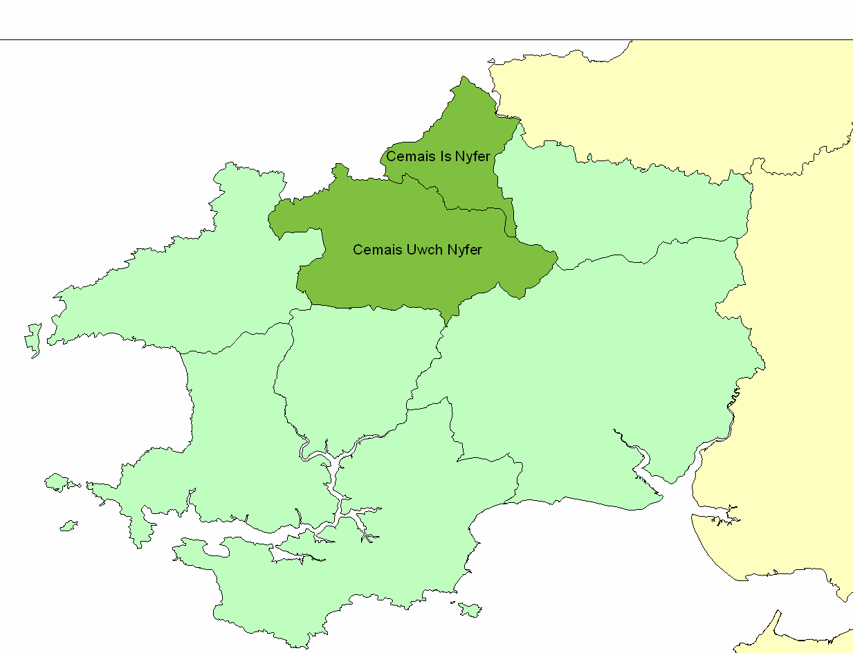
Cemais Is Nyfer

Cemais Is Nyfer was a mediaeval commote in the Dyfed cantref of Cemais, Wales. It consisted of the territory between the rivers Nyfer and Teifi, and comprised...

Cwm-yr-Eglwys

Cwm-yr-Eglwys (English: Valley of the Church) is a hamlet in a picturesque cove on the eastern side of the Dinas Island peninsula in the community of Dinas...

Newport, Pembrokeshire

Newport (Welsh: Trefdraeth, meaning: "town by the beach") is a town, community, electoral ward and ancient port of Parrog, on the Pembrokeshire coast in...

Newport Bay (Wales)

Newport Bay (Welsh: Bae Trefdraeth) is a bay on a section of the north Pembrokeshire coast, Wales, which is within the Pembrokeshire Coast National Park...

Cnapan Hotel

Cnapan, also known variously as Cnapan Country House or Cnapan Restaurant and Bed & Breakfast, is a Grade II listed hotel and restaurant in Newport, Pembrokeshire...

Brynhenllan

Bryn-henllan, Bryn Henllan or Brynhenllan is a small settlement in the community of Dinas Cross, north Pembrokeshire, Wales, just north of the A487 road...

Carreg Coetan Arthur

Carreg Coetan Arthur is a neolithic dolmen near Newport in North Pembrokeshire, Wales.Carreg Coetan Arthur dates from around 3000 BC and is the remains...

Nearby Amenities

Located within 500m of 52.015062,-4.864389
Power: pole
Lat/Long: 52.0132094/-4.8578373
Power: pole
Lat/Long: 52.0130096/-4.8592776
Power: pole
Lat/Long: 52.0127488/-4.860836
Power: pole
Lat/Long: 52.0124945/-4.8624373
Power: pole
Lat/Long: 52.0136419/-4.8575851
Power: pole
Lat/Long: 52.0134322/-4.8590228
Power: pole
Lat/Long: 52.013348/-4.8595458
Power: pole
Lat/Long: 52.0131912/-4.8606375
Power: pole
Lat/Long: 52.0128792/-4.8628181
Power: pole
Lat/Long: 52.0125011/-4.8654011
Power: pole
Lat/Long: 52.01227/-4.8670131
Power: pole
Lat/Long: 52.01227/-4.8639366
Power: pole
Lat/Long: 52.0120571/-4.8653662
Power: pole
Lat/Long: 52.0118375/-4.8666912
Power: pole
Lat/Long: 52.011608/-4.8682281
Power: pole
Lat/Long: 52.0120075/-4.8687619
Bench
Backrest: no
Lat/Long: 52.0188889/-4.8680057
The data included in this document is from www.openstreetmap.org. The data is made available under ODbL.

Have you been to Rhigian?

Leave your review of Rhigian below (or comments, questions and feedback).