Penrhyn y Fforest
Coastal Feature, Headland, Point in Pembrokeshire
Wales
Penrhyn y Fforest

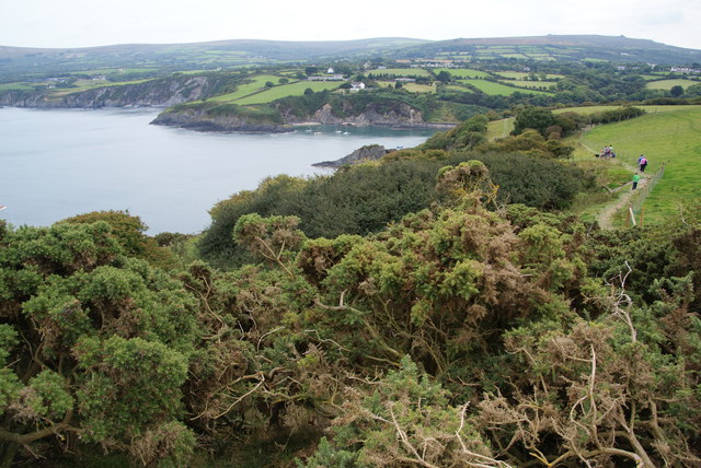
Penrhyn y Fforest, also known as Penrhyn Head, is a prominent headland located in the county of Pembrokeshire, Wales. Situated on the western coast of the country, this coastal feature offers breathtaking views of the Irish Sea.
Rising to a height of approximately 80 meters (262 feet), Penrhyn y Fforest is characterized by its steep cliffs and rugged terrain. The headland is composed of a variety of rock types, including sandstone and shale, which have been shaped by the erosive forces of the sea over millions of years. The distinctive geological formations, along with the diverse range of flora and fauna, make Penrhyn y Fforest an area of significant scientific interest.
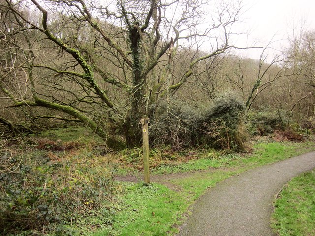
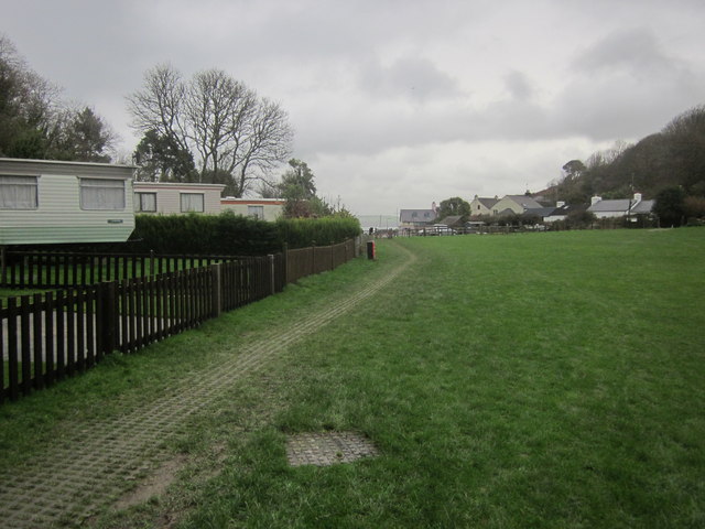
Access to Penrhyn y Fforest is provided by a network of footpaths and trails that wind their way through the surrounding countryside. Visitors can explore the headland on foot, taking in the panoramic views and observing the rich biodiversity that thrives in this coastal environment. Birdwatchers are particularly drawn to this location, as it serves as a habitat for a wide variety of seabirds, including puffins, razorbills, and gannets.
In addition to its natural beauty, Penrhyn y Fforest is also steeped in history. The headland is home to the ruins of an ancient fort, believed to date back to the Iron Age. The remains of defensive walls and ditches can still be seen today, providing a glimpse into the area's rich past.
Overall, Penrhyn y Fforest is a captivating coastal feature that offers both natural beauty and historical intrigue. It is a must-visit destination for nature enthusiasts and history buffs alike.
If you have any feedback on the listing, please let us know in the comments section below.
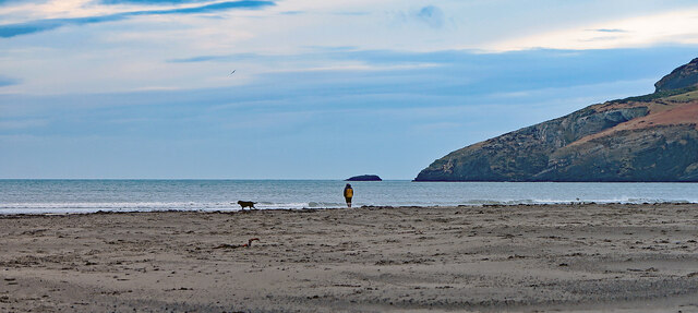
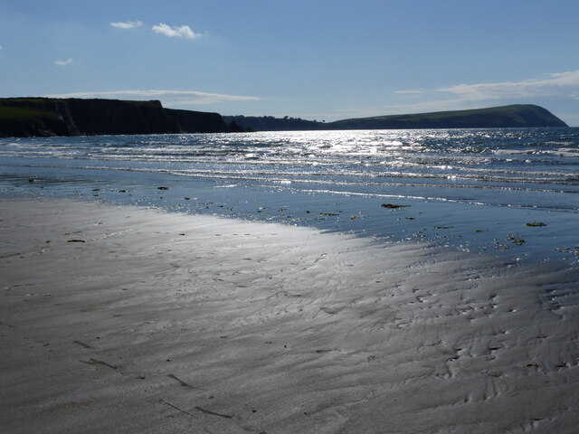
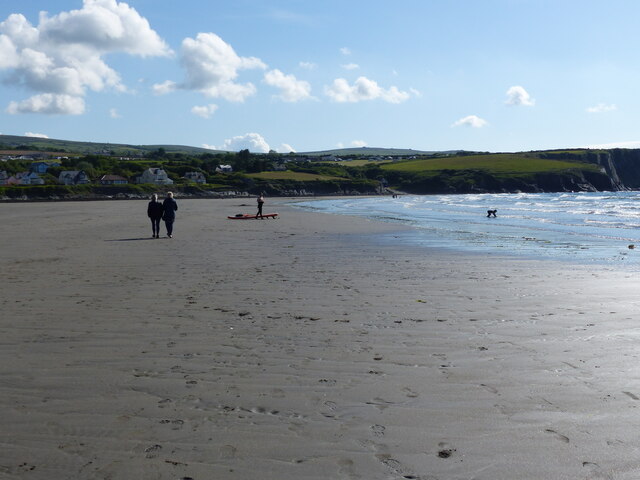
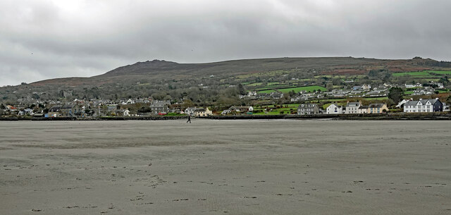
Penrhyn y Fforest Images
Images are sourced within 2km of 52.021162/-4.8722426 or Grid Reference SN0339. Thanks to Geograph Open Source API. All images are credited.


Penrhyn y Fforest is located at Grid Ref: SN0339 (Lat: 52.021162, Lng: -4.8722426)
Unitary Authority: Pembrokeshire
Police Authority: Dyfed Powys
What 3 Words
///recap.prefect.commutes. Near Newport, Pembrokeshire
Nearby Locations
Related Wikis

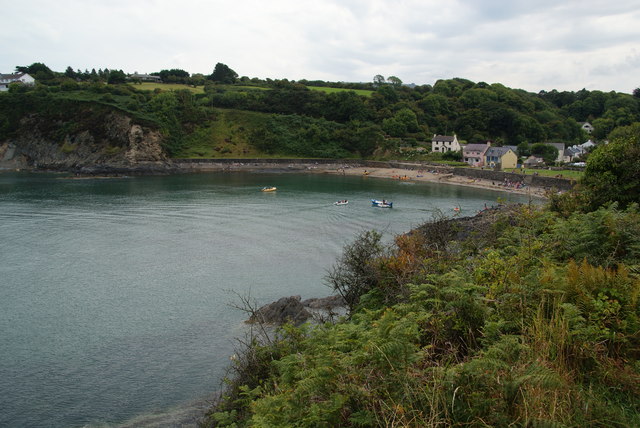
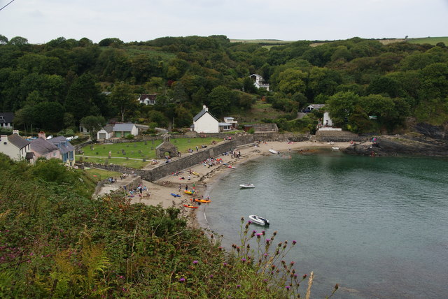
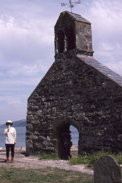
Cwm-yr-Eglwys
Cwm-yr-Eglwys (English: Valley of the Church) is a hamlet in a picturesque cove on the eastern side of the Dinas Island peninsula in the community of Dinas...

Newport Bay (Wales)
Newport Bay (Welsh: Bae Trefdraeth) is a bay on a section of the north Pembrokeshire coast, Wales, which is within the Pembrokeshire Coast National Park...

River Nevern
The River Nevern (Welsh: Afon Nyfer) is a river in Pembrokeshire, Wales. Its source is north of the village of Crymych and its length is about 11 miles...
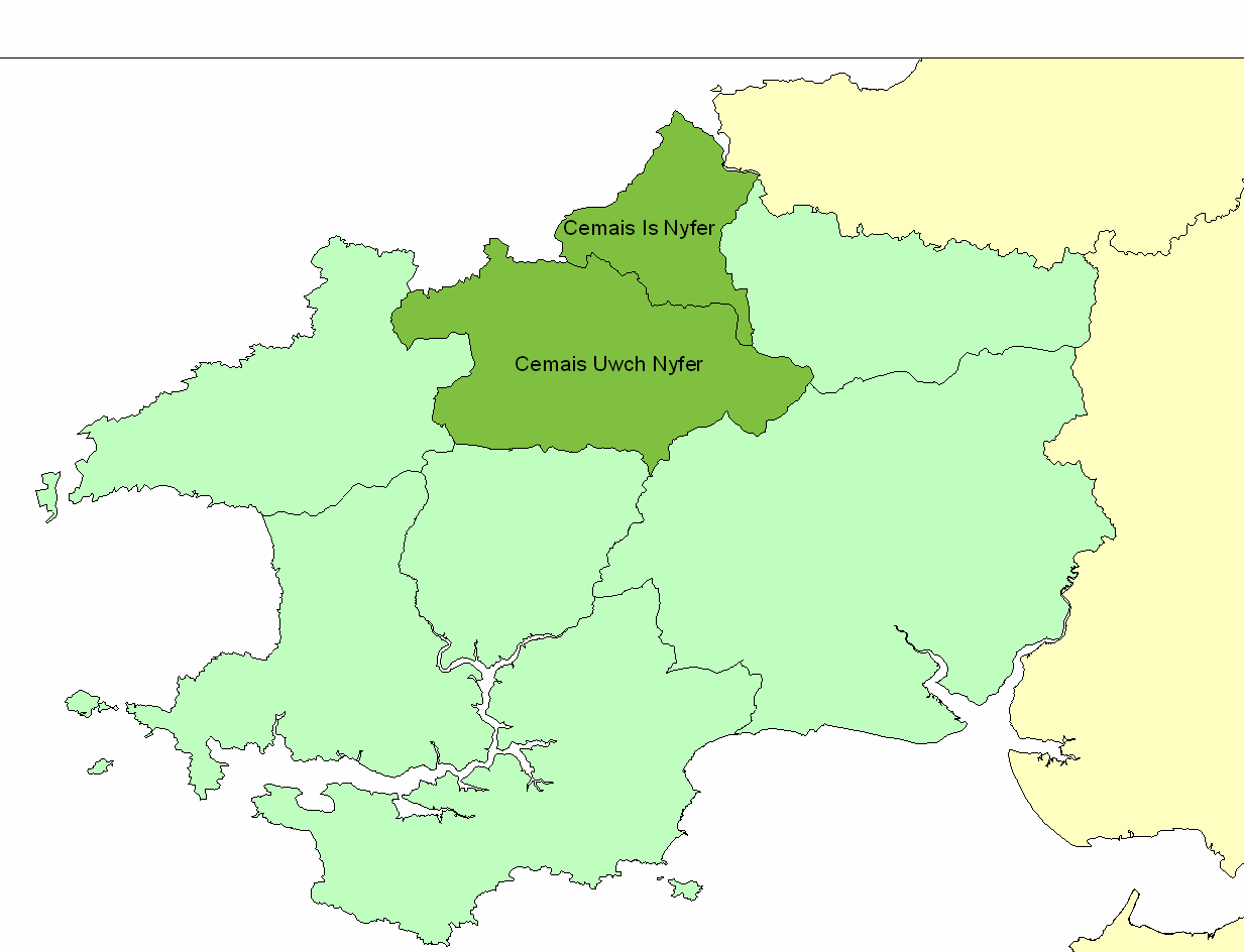
Cemais Is Nyfer
Cemais Is Nyfer was a mediaeval commote in the Dyfed cantref of Cemais, Wales. It consisted of the territory between the rivers Nyfer and Teifi, and comprised...

Brynhenllan
Bryn-henllan, Bryn Henllan or Brynhenllan is a small settlement in the community of Dinas Cross, north Pembrokeshire, Wales, just north of the A487 road...

Cwm Dewi
Cwm Dewi is a Site of Special Scientific Interest (or SSSI) in Pembrokeshire, South Wales. It has been designated as a Site of Special Scientific Interest...

Dinas Island
Dinas Island (Welsh: Ynys Dinas) is a peninsula, partially detached from the mainland, in the community of Dinas Cross between Fishguard and Newport, Pembrokeshire...
Newport, Pembrokeshire
Newport (Welsh: Trefdraeth, meaning: "town by the beach") is a town, community, electoral ward and ancient port of Parrog, on the Pembrokeshire coast in...
Nearby Amenities
Located within 500m of 52.021162,-4.8722426Have you been to Penrhyn y Fforest?
Leave your review of Penrhyn y Fforest below (or comments, questions and feedback).