Loch Goil

Sea, Estuary, Creek in Argyllshire

Scotland

Loch Goil

Substation above Douglas Pier Douglas Pier, over the road on the left is a War Office research station for marine noise suppression and detection and torpedo design. I presume the torpedo work moved over from Loch Long.
Substation above Douglas Pier Credit: Richard Webb

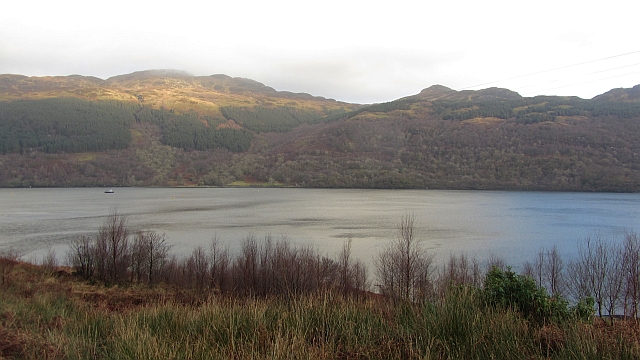
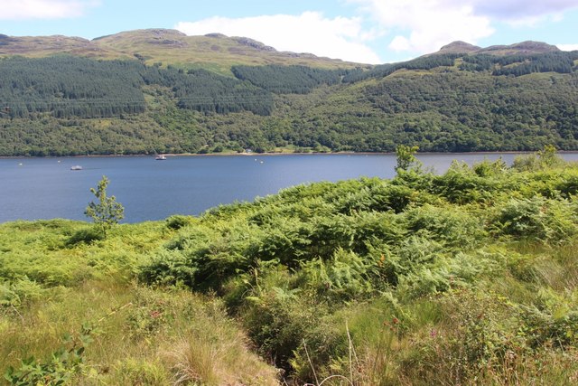
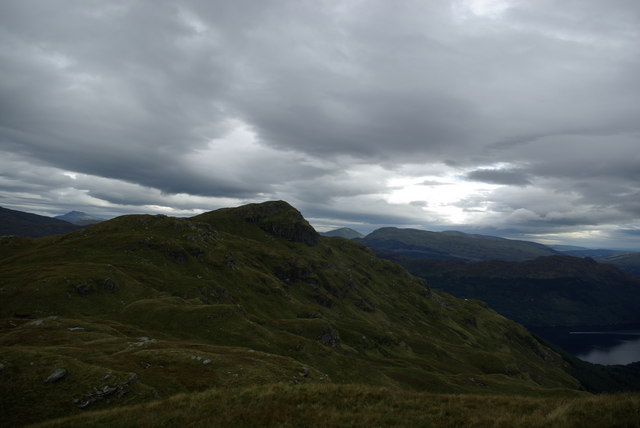
Loch Goil is a picturesque sea loch located in Argyllshire, Scotland. Nestled within the stunning scenery of the Loch Lomond and The Trossachs National Park, this natural gem offers a unique blend of coastal and mountain landscapes.

The loch stretches approximately 8 miles inland from the village of Lochgoilhead, where it meets the waters of the Firth of Clyde. Its deep blue waters are surrounded by rolling hills and densely forested slopes, creating a tranquil and enchanting atmosphere.

Loch Goil is classified as a sea loch due to its connection to the sea, allowing tidal influence. At high tide, the loch fills with seawater, and at low tide, the water level recedes, revealing sandy shores and rocky outcrops. This tidal fluctuation creates a dynamic ecosystem, attracting a diverse range of marine life, including seals, otters, and various species of birds.

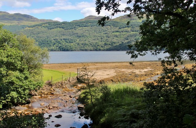
The loch also serves as an estuary for the River Goil, which flows into it from the north. This river adds to the scenic beauty of the area, cutting through the surrounding countryside and cascading down moss-covered waterfalls.

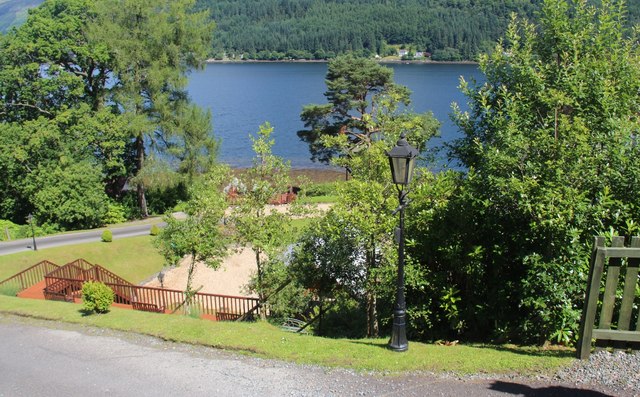
Boating and fishing are popular activities on Loch Goil, with visitors enjoying the calm waters for sailing, kayaking, and canoeing. Anglers are drawn to the loch's abundant fish population, including salmon, trout, and sea bass.

Overall, Loch Goil is a captivating destination for nature lovers and outdoor enthusiasts alike. Its combination of stunning coastal scenery, diverse wildlife, and recreational opportunities make it a must-visit location in Argyllshire.

If you have any feedback on the listing, please let us know in the comments section below.
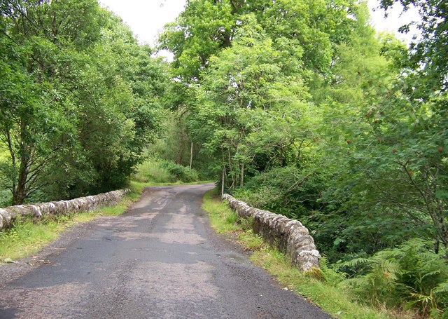
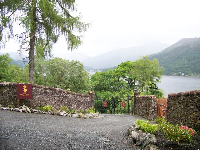
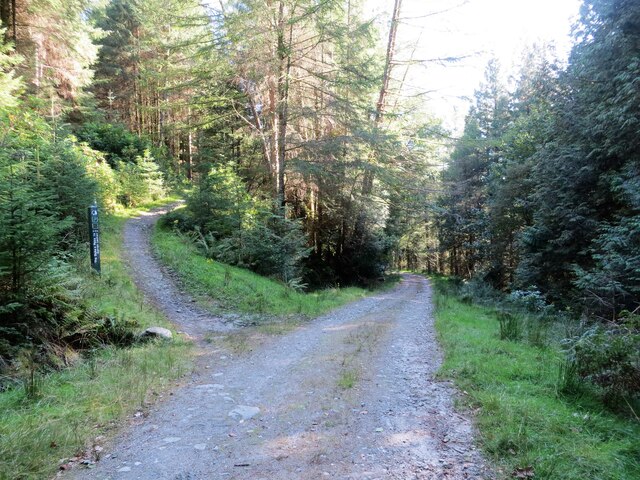
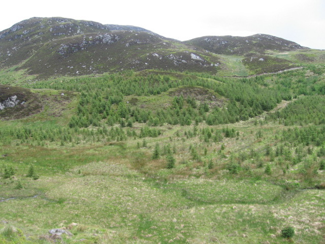
Loch Goil Images

Images are sourced within 2km of 56.140855/-4.890357 or Grid Reference NS2098. Thanks to Geograph Open Source API. All images are credited.

Substation above Douglas Pier Douglas Pier, over the road on the left is a War Office research station for marine noise suppression and detection and torpedo design. I presume the torpedo work moved over from Loch Long.
Substation above Douglas Pier
Douglas Pier, over the road on the left is a War Office research station for marine noise suppression and detection and torpedo design. I presume the torpedo work moved over from Loch Long.
Aird Rubha Mhadaidh A rhododendron choked headland on the west side of Loch Goil. The peninsula in the background, Ardgoil, is also badly infested with rhododendrons.
Aird Rubha Mhadaidh
A rhododendron choked headland on the west side of Loch Goil. The peninsula in the background, Ardgoil, is also badly infested with rhododendrons.
Cormonachan Wood There is some surviving broadleaf woodland here from before the time the conifers were planted.
Cormonachan Wood
There is some surviving broadleaf woodland here from before the time the conifers were planted.
Cormonachan Burn The burn runs off Cruach nam Miseag into Loch Goil. Unfortunately it was too dark to capture the fine set of waterfalls on the upstream side of the road. Worth seeing, but go in Winter when the leaves are off.
Cormonachan Burn
The burn runs off Cruach nam Miseag into Loch Goil. Unfortunately it was too dark to capture the fine set of waterfalls on the upstream side of the road. Worth seeing, but go in Winter when the leaves are off.
Loch Goil and Ardgoil Birch woods are making a return to the shores of Loch Goil here. Beyond the loch there are oak woods on the rugged Ardgoil peninsula. Sadly both shorelines are heavily infested in Rhododendron ponticum.
Loch Goil and Ardgoil
Birch woods are making a return to the shores of Loch Goil here. Beyond the loch there are oak woods on the rugged Ardgoil peninsula. Sadly both shorelines are heavily infested in Rhododendron ponticum.
Woodland Beside Loch Goil Woodland and scrub north of Cormonachan.
Woodland Beside Loch Goil
Woodland and scrub north of Cormonachan.
View from Gob a Chalmain Looking south east down Loch Goil.
View from Gob a Chalmain
Looking south east down Loch Goil.
Woodland road to The Lodge
Private road at The Lodge on Loch Goil
Gates at The Lodge
Gates at The Lodge
Rough grazing above Loch Goil Beinn Reithe and the Saddle form the skyline.
Rough grazing above Loch Goil
Beinn Reithe and the Saddle form the skyline.
Cormonachan Burn reaching the sealoch Loch Goil
The road from Carrick Castle to Lochgoilhead at Cormonachan
Forectry road north of Cormonachan, Loch Goil
Gates at The Lodge on Loch Goil
Junction of tracks in the forest Track to the left goes to Corran Lochan
Junction of tracks in the forest
Track to the left goes to Corran Lochan
Waterfall on the Garbh Allt Flows into Loch Goil
Waterfall on the Garbh Allt
Flows into Loch Goil
From Tom Molach across the forest towards The Saddle
Show me another place!

Loch Goil is located at Grid Ref: NS2098 (Lat: 56.140855, Lng: -4.890357)

Unitary Authority: Argyll and Bute

Police Authority: Argyll and West Dunbartonshire

What 3 Words

///gobblers.resort.amazed. Near Garelochhead, Argyll & Bute

Nearby Locations

Loch Goil

Related Wikis

Loch Goil

Loch Goil; (Scottish Gaelic: Loch Goil) is a small sea loch forming part of the coast of the Cowal peninsula in Argyll and Bute, Scotland. The sea loch...

Tom Molach

Tom Molach is a peak within the Ardgoil Peninsula and Arrochar Alps near Lochgoilhead in Argyll, Scotland. The peak reaches a height of 370 metres (1,210...

Cruach nam Miseag

Cruach nam Miseag is a mountain near Lochgoilhead within the Arrochar Alps, Scotland. It reaches a height of 606 m (1989 ft). It is located at NS182981...

The Saddle (Lochgoilhead)

The Saddle is a mountain near Lochgoilhead in The Ardgoil Peninsula in Argyll. It reaches a height of 521m and is in the Arrochar Alps.

Have you been to Loch Goil?

Leave your review of Loch Goil below (or comments, questions and feedback).