West Beach
Beach in Sussex Chichester
England
West Beach
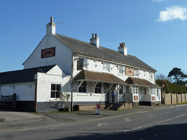
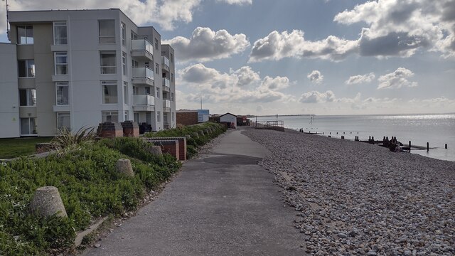
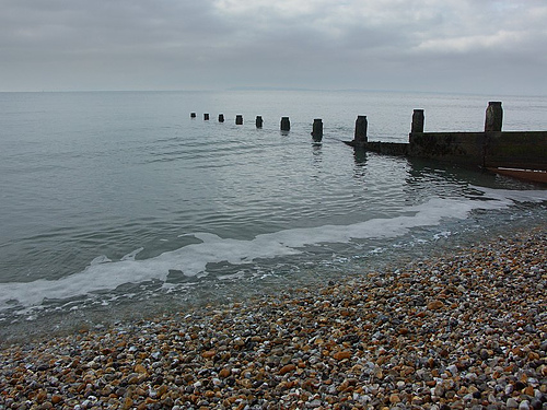
West Beach, Sussex is a picturesque coastal area located in the southern part of England. Situated along the English Channel, it is part of the popular seaside resort town of Brighton and Hove. Known for its stunning natural beauty and vibrant atmosphere, West Beach is a popular destination for locals and tourists alike.
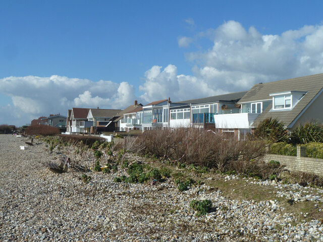
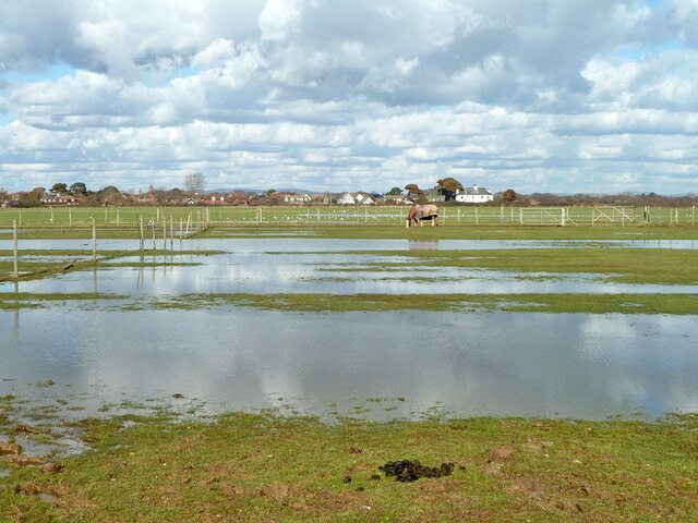
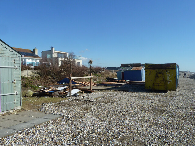
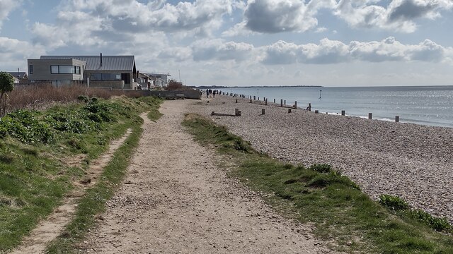
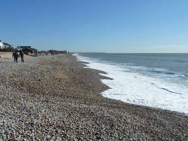
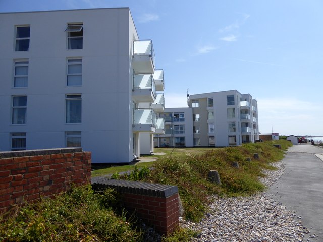
The beach stretches for approximately two miles and is characterized by its pebbly shore and clear blue waters. The shingle beach is surrounded by a long promenade, offering visitors the opportunity to take leisurely strolls and enjoy breathtaking views of the coastline. The beach is backed by a row of colorful beach huts, adding to its charm and providing a picturesque backdrop.
West Beach is a haven for water sports enthusiasts, with activities such as kayaking, wind surfing, and paddleboarding readily available. The area is also home to various beachfront cafes, restaurants, and shops, offering a range of amenities and refreshments for visitors to enjoy. During the summer months, the beach often hosts events and festivals, adding to the lively and vibrant atmosphere.
In addition to its natural beauty and recreational activities, West Beach is also known for its proximity to other popular attractions. The iconic Brighton Pier is just a short distance away, offering amusement rides, arcades, and a bustling nightlife scene. The vibrant city of Brighton, with its historical landmarks, shopping districts, and cultural offerings, is also easily accessible from West Beach.
Overall, West Beach, Sussex is a stunning coastal destination that offers a perfect mix of natural beauty, recreational activities, and a vibrant atmosphere, making it a must-visit location for anyone seeking a seaside getaway.
If you have any feedback on the listing, please let us know in the comments section below.
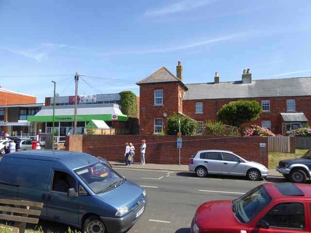
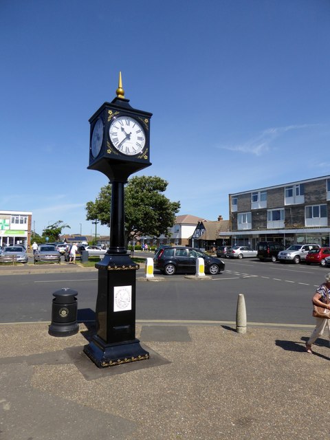
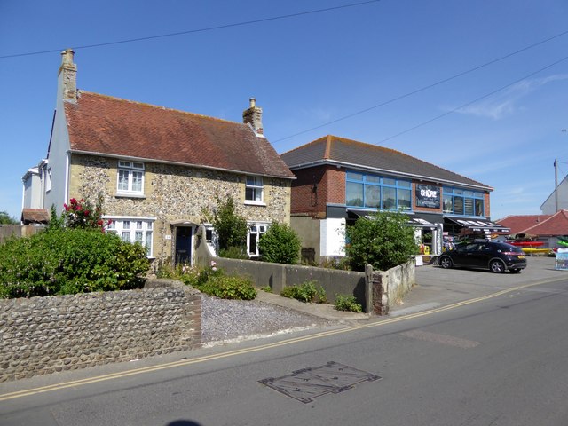
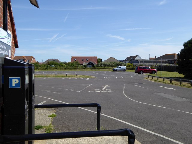
West Beach Images
Images are sourced within 2km of 50.766384/-0.87851944 or Grid Reference SZ7996. Thanks to Geograph Open Source API. All images are credited.

West Beach is located at Grid Ref: SZ7996 (Lat: 50.766384, Lng: -0.87851944)
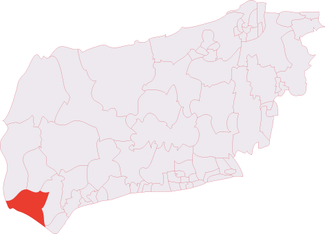
Administrative County: West Sussex
District: Chichester
Police Authority: Sussex
What 3 Words
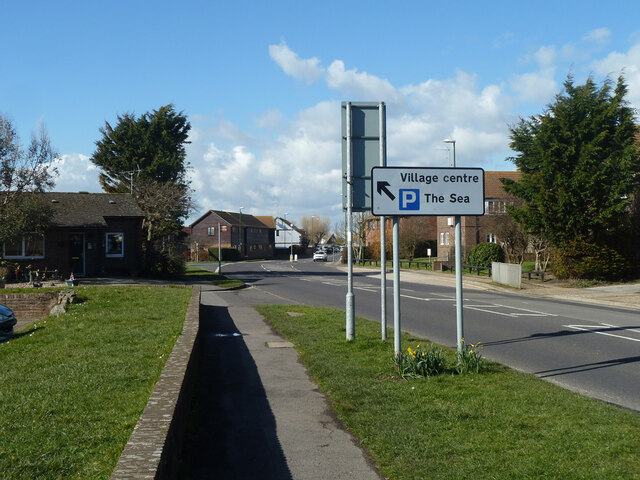
///brighter.highly.zest. Near East Wittering, West Sussex
Nearby Locations
Related Wikis

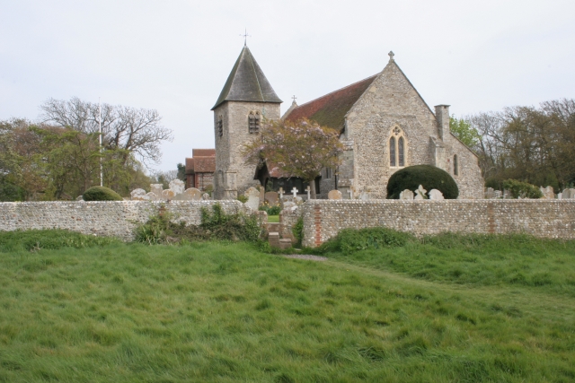
East Wittering
East Wittering is a large coastal village in the Chichester district of West Sussex, England. The majority of the village lies within the civil parish...

East Wittering and Bracklesham
East Wittering, or East Wittering and Bracklesham, is a civil parish in the Chichester district of West Sussex, England. The parish lies on the coast of...
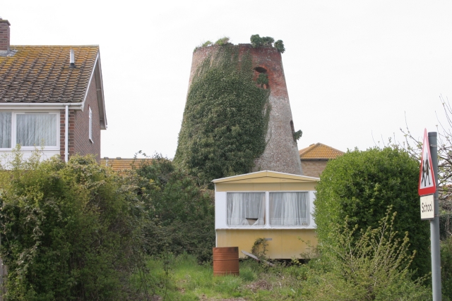
East Wittering Windmill
East Wittering Windmill is a grade II listed tower mill at East Wittering, Sussex, England which is derelict. == History == East Wittering Windmill was...
West Wittering
West Wittering is a village and civil parish situated on the Manhood Peninsula in the Chichester district of West Sussex, England. It lies near the mouth...
Hazardous (ship)
The Hazardous, formerly Le Hazardeux, was a French third-rate ship of the line captured by the English and later sunk in Bracklesham Bay, West Sussex....
The Witterings (electoral division)
The Witterings is an electoral division of West Sussex in the United Kingdom, and returns one member to sit on West Sussex County Council. == Extent... ==

Earnley
Earnley is a village and a civil and ecclesiastical parish in the Chichester District of West Sussex, England. It is located four miles (6.4 km) south...
Bracklesham Bay
Bracklesham Bay is a 200.6-hectare (496-acre) biological and geological Site of Special Scientific Interest in West Sussex. It is a Geological Conservation...
Nearby Amenities
Located within 500m of 50.766384,-0.87851944Have you been to West Beach?
Leave your review of West Beach below (or comments, questions and feedback).