Staithes Wyke
Beach in Yorkshire Scarborough
England
Staithes Wyke
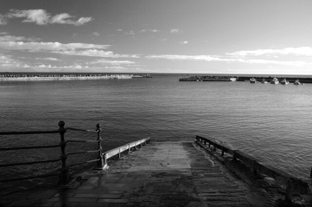
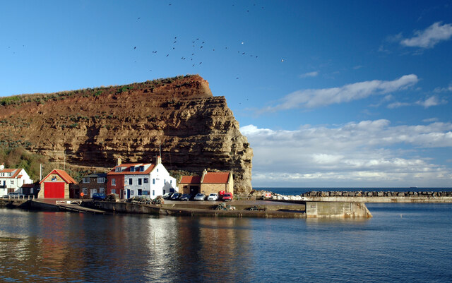
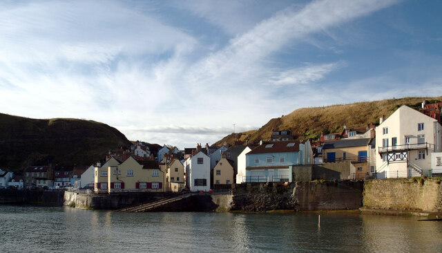
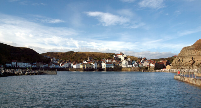
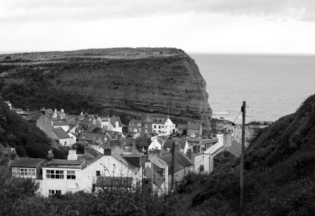
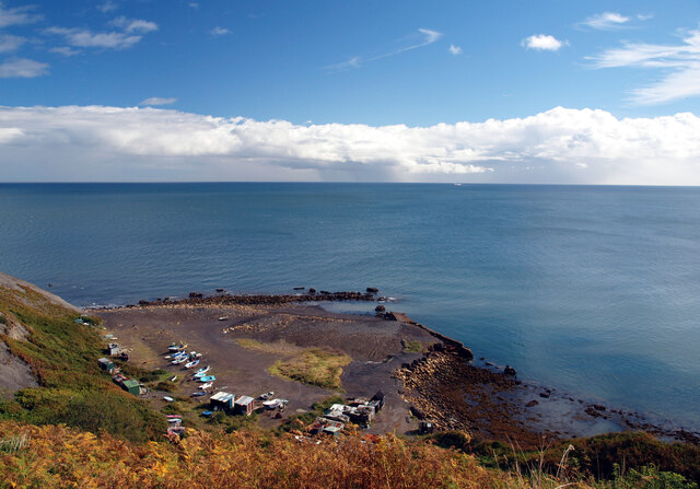
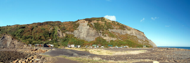
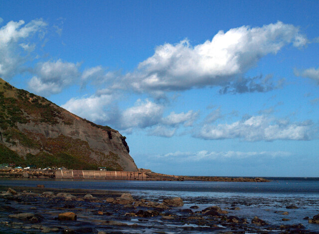
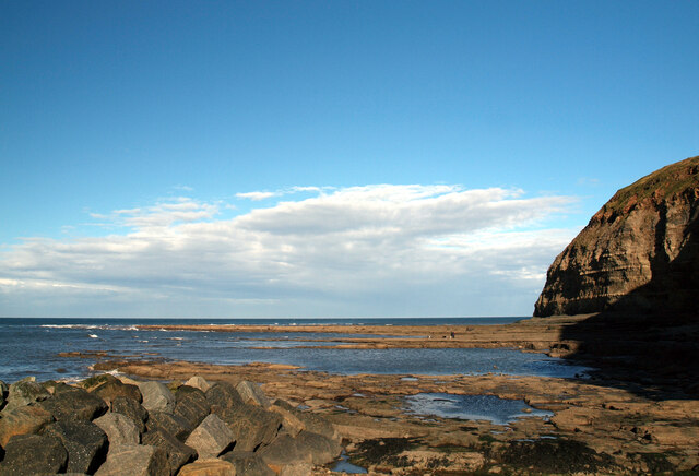
Staithes Wyke is a picturesque beach located in the village of Staithes, Yorkshire, England. Situated on the North Sea coast, it is a popular destination for tourists and locals alike. The beach is nestled between two towering cliffs, creating a sheltered cove that adds to its charm.
With its distinctive mix of rugged beauty and quaint fishing village atmosphere, Staithes Wyke is often referred to as a hidden gem. The beach is composed of a mixture of sand and pebbles, providing a unique texture underfoot. At low tide, the expansive sandy stretches become exposed, making it an ideal spot for sandcastle building and beach games.
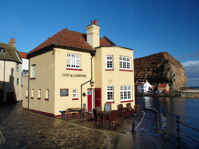
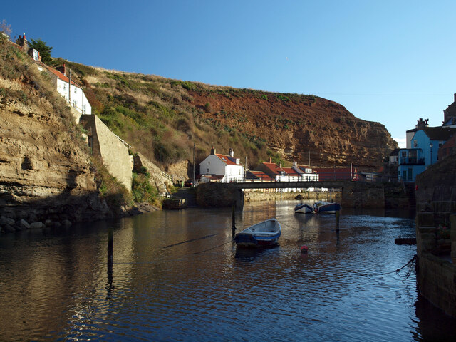
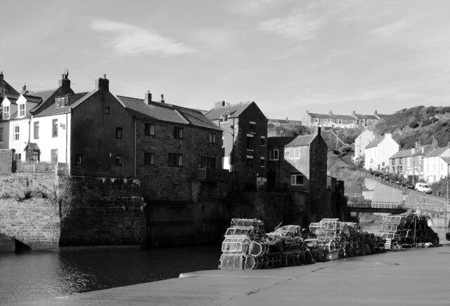
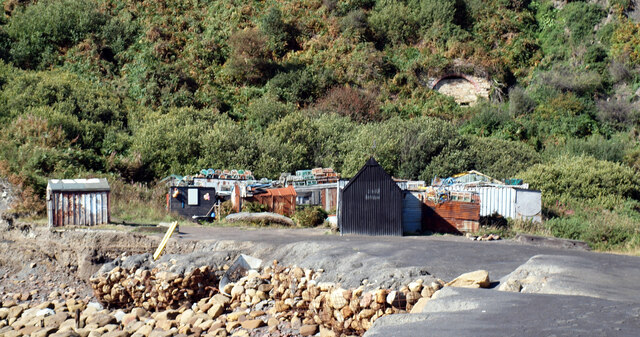
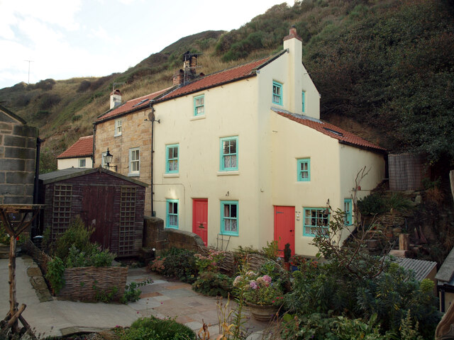
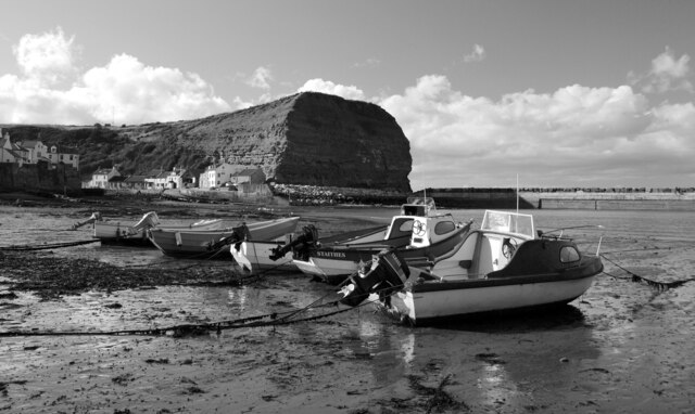
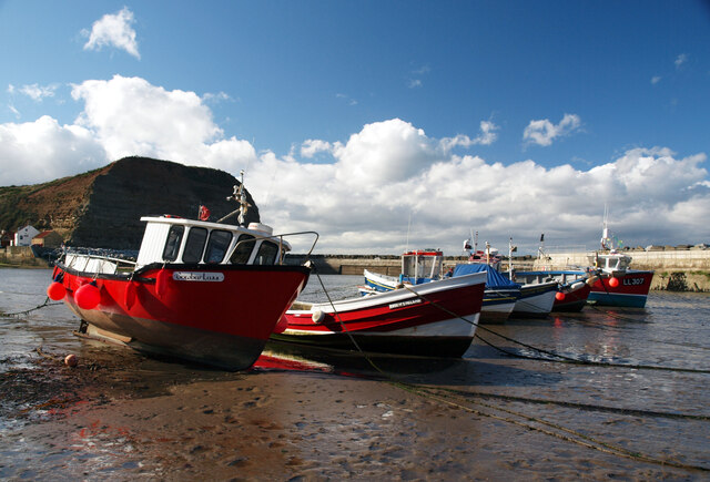
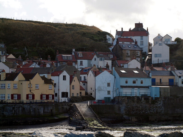
The village of Staithes, which overlooks the beach, is renowned for its rich maritime heritage. The cobblestone streets and tightly packed cottages give visitors a glimpse into the past, while the vibrant art scene showcases the village's creative spirit. Artists and photographers are often drawn to Staithes Wyke, as its rugged cliffs, colorful boats, and picturesque houses provide an endless source of inspiration.
Visitors can explore the beach's rock pools during low tide, discovering an array of fascinating marine life. The area is also popular among anglers, who can try their luck at sea fishing from the shore. For those seeking a more relaxed experience, there are charming tea rooms and local pubs nearby, where visitors can enjoy a cup of tea or a pint of local ale while taking in the stunning views.
Overall, Staithes Wyke is a captivating beach that offers a perfect blend of natural beauty, cultural heritage, and recreational opportunities, making it a must-visit destination for beach lovers and history enthusiasts alike.
If you have any feedback on the listing, please let us know in the comments section below.
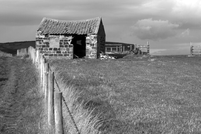
Staithes Wyke Images
Images are sourced within 2km of 54.559282/-0.79012843 or Grid Reference NZ7818. Thanks to Geograph Open Source API. All images are credited.
Staithes Wyke is located at Grid Ref: NZ7818 (Lat: 54.559282, Lng: -0.79012843)
Division: North Riding
Administrative County: North Yorkshire
District: Scarborough
Police Authority: North Yorkshire
What 3 Words
///plots.belt.influence. Near Loftus, North Yorkshire
Nearby Locations
Related Wikis
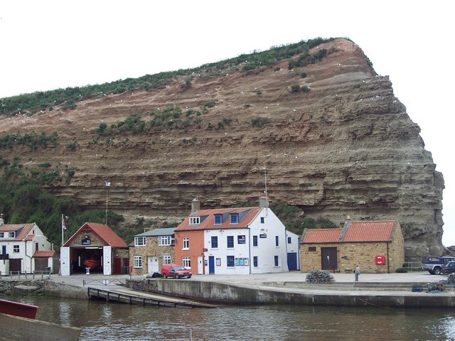
Staithes and Runswick Lifeboat Station
Staithes and Runswick Lifeboat Station is a Royal National Lifeboat Institution (RNLI) lifeboat station based in the village of Staithes, North Yorkshire...
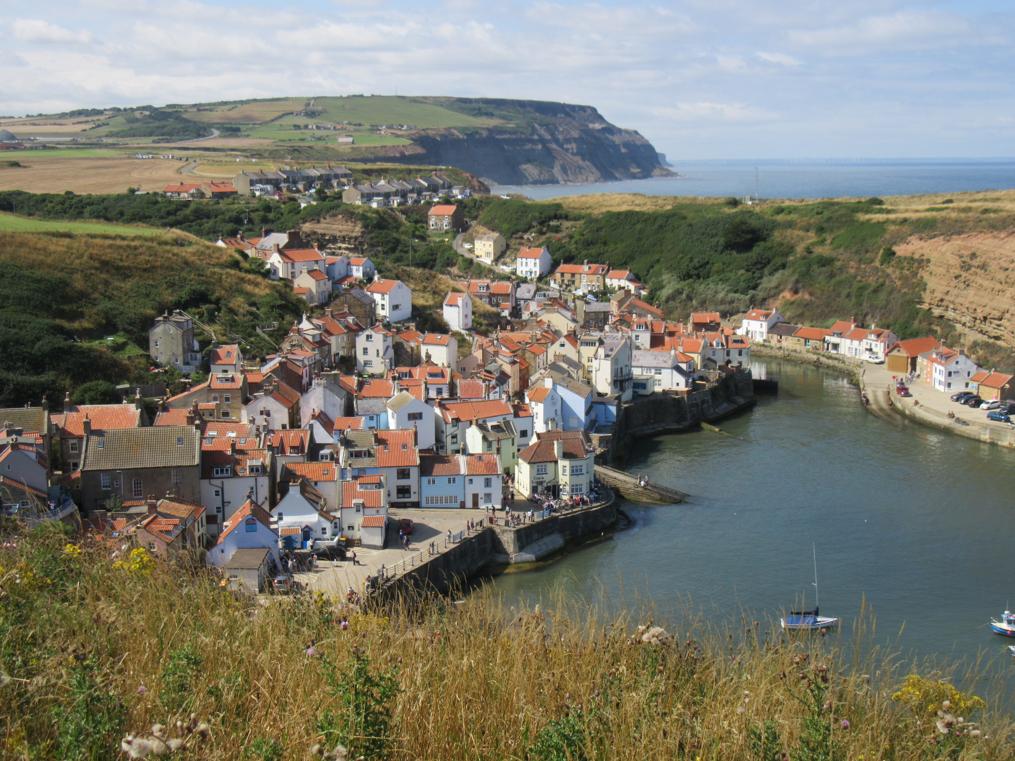
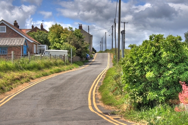
Staithes
Staithes is a seaside village in North Yorkshire, England. Easington and Roxby Becks, two brooks that run into Staithes Beck, form the border between the...

Staithes railway station
Staithes railway station was a railway station on the Whitby Redcar and Middlesbrough Union Railway, serving the villages of Staithes and Dalehouse in...
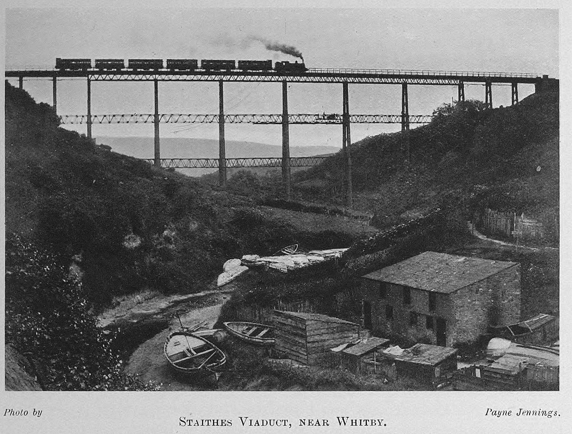
Staithes Viaduct
Staithes Viaduct was a railway bridge that straddled Staithes Beck at Staithes, Yorkshire, England. It was north of the closed Staithes railway station...
Port Mulgrave, North Yorkshire
Port Mulgrave is a derelict former ironstone exporting port on the North Yorkshire coast midway between Staithes and Runswick Bay in the civil parish of...

ZEPLIN-III
The ZEPLIN-III dark matter experiment attempted to detect galactic WIMPs using a 12 kg liquid xenon target. It operated from 2006 to 2011 at the Boulby...
Directional Recoil Identification from Tracks
The Directional Recoil Identification from Tracks (DRIFT) detector is a low pressure negative ion time projection chamber (NITPC) designed to detect weakly...

UK Dark Matter Collaboration
The UK Dark Matter Collaboration (UKDMC) (1987–2007) was an experiment to search for Weakly interacting massive particles (WIMPs). The consortium consisted...
Nearby Amenities
Located within 500m of 54.559282,-0.79012843Have you been to Staithes Wyke?
Leave your review of Staithes Wyke below (or comments, questions and feedback).