Runswick Sands
Beach in Yorkshire Scarborough
England
Runswick Sands
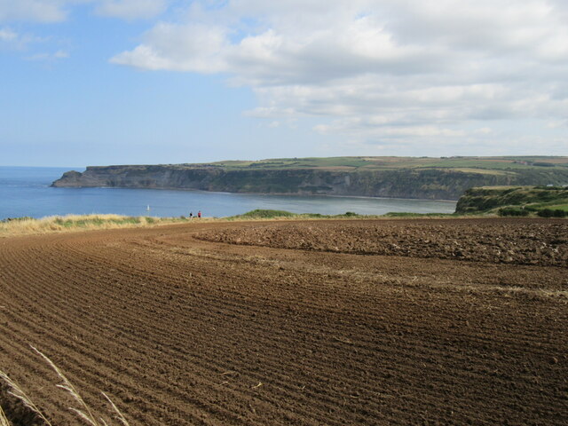
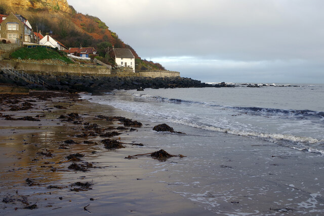
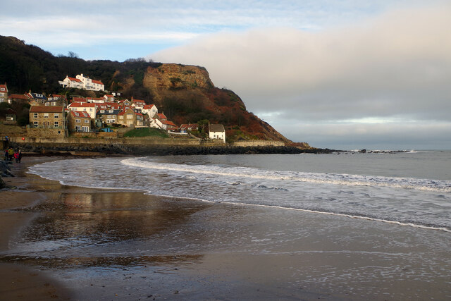
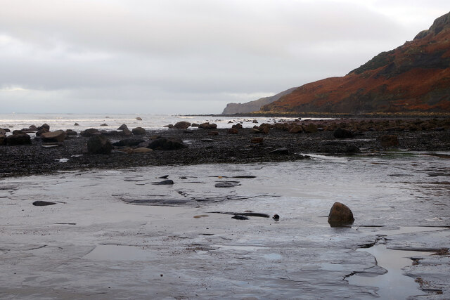
Runswick Sands is a picturesque beach nestled on the North Yorkshire coast, located approximately 8 miles north of Whitby. This charming sandy bay is renowned for its natural beauty, making it a popular destination for both locals and tourists alike.
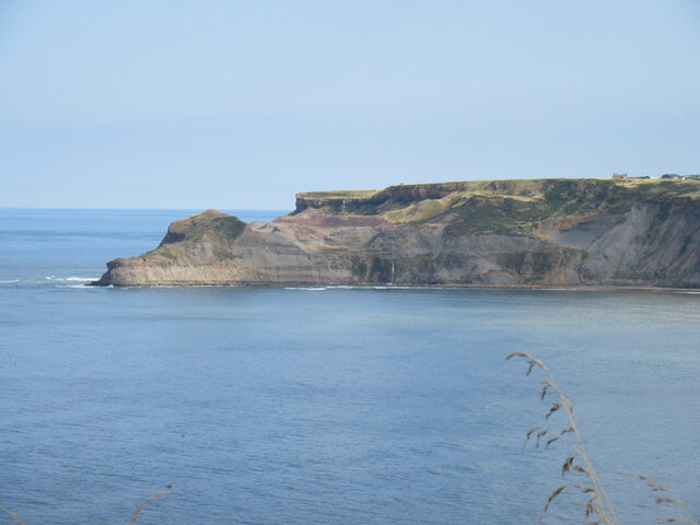
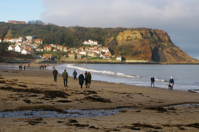
Stretching for approximately 2 miles, Runswick Sands boasts a stunning coastline flanked by rugged cliffs and rolling hills. The beach itself is a mix of golden sands and pebbles, providing a tranquil and scenic setting for visitors to relax and enjoy the coastal atmosphere.
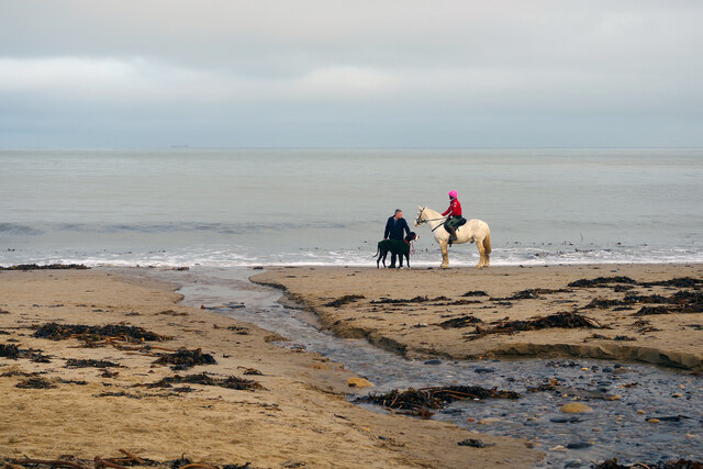
The bay is sheltered by the surrounding cliffs, creating a calm and safe environment for swimming and water activities. The clear waters are perfect for paddling and exploring, and the beach is also a great spot for rock pooling, with an abundance of marine life to discover.
For those seeking adventure, Runswick Sands offers excellent opportunities for surfing, kayaking, and paddleboarding. The beach's exposed location ensures consistent waves, making it a popular spot for water sports enthusiasts of all levels.
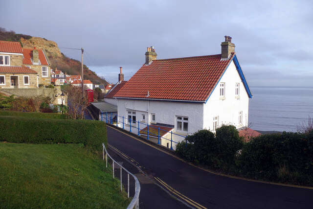
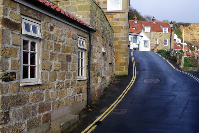
The village of Runswick Bay, situated on the clifftop above the beach, adds to the charm of this coastal gem. With its quaint cottages, narrow winding streets, and stunning views, it is a delightful place to explore and discover the local history and culture.
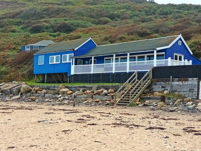
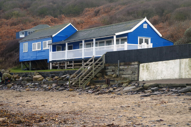
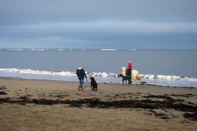
Runswick Sands benefits from a well-maintained car park, public toilets, and a beachside café, providing essential amenities for visitors. The beach is dog-friendly, allowing four-legged friends to enjoy the sandy shores too.
Overall, Runswick Sands offers a stunning coastal retreat, combining natural beauty, water sports, and a charming village atmosphere, making it a must-visit destination for beach lovers in Yorkshire.
If you have any feedback on the listing, please let us know in the comments section below.
Runswick Sands Images
Images are sourced within 2km of 54.530426/-0.74714036 or Grid Reference NZ8115. Thanks to Geograph Open Source API. All images are credited.

Runswick Sands is located at Grid Ref: NZ8115 (Lat: 54.530426, Lng: -0.74714036)
Division: North Riding
Administrative County: North Yorkshire
District: Scarborough
Police Authority: North Yorkshire
What 3 Words
///souk.inspects.resold. Near Sleights, North Yorkshire
Nearby Locations
Related Wikis

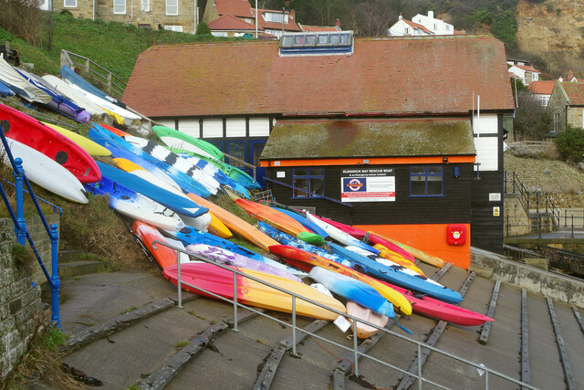
Runswick Bay Lifeboat Station
Runswick Bay Lifeboat Station was a Royal National Lifeboat Institution (RNLI) lifeboat station located in Runswick Bay in North Yorkshire, England. The...

Hob Holes
The Hob Holes are caves in the cliffs of Runswick Bay, Scarborough, England which resulted from mining for jet – fossilised wood which is valuable as a...

Runswick Bay
Runswick Bay is a bay in the Scarborough Borough of North Yorkshire, England. It is also the name of a village located on the western edge of the bay...

Ellerby, North Yorkshire
Ellerby is a village and civil parish in the Scarborough district of North Yorkshire, England, located within the North York Moors National Park. According...

Hinderwell railway station
Hinderwell railway station was a railway station on the Whitby Redcar and Middlesbrough Union Railway. It was opened on 3 December 1883, and served the...

Kettleness
Kettleness, is a hamlet in the Scarborough District of North Yorkshire, England. The settlement only consists of half-a-dozen houses, but up until the...

Kettleness railway station
Kettleness was a railway station on the Whitby, Redcar and Middlesbrough Union Railway from 1883 to 1958 serving the remote village of Kettleness. The...

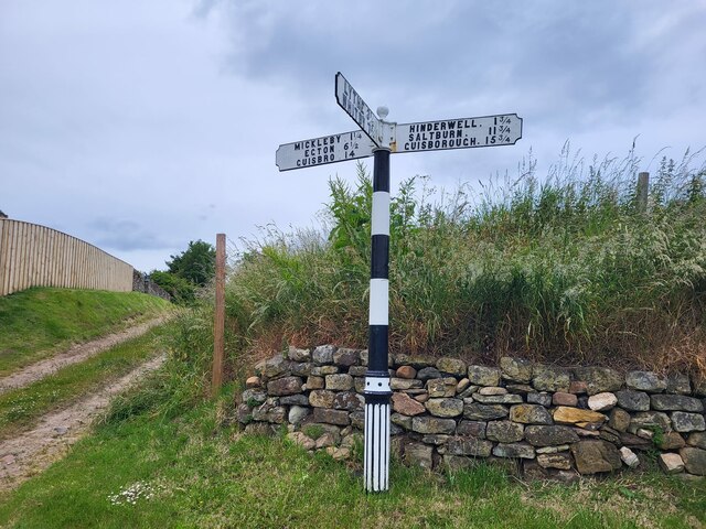
Hinderwell
Hinderwell is a village and civil parish in the Scarborough district of North Yorkshire, England which lies within the North York Moors National Park,...
Nearby Amenities
Located within 500m of 54.530426,-0.74714036Have you been to Runswick Sands?
Leave your review of Runswick Sands below (or comments, questions and feedback).