Colonel's Hard

Beach in Hampshire

England

Colonel's Hard

St Helens Seafront The remains of St Helens church is painted white to act as a prominent marker for navigation from seaward
St Helens Seafront Credit: Steve Rigg

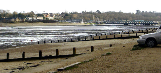
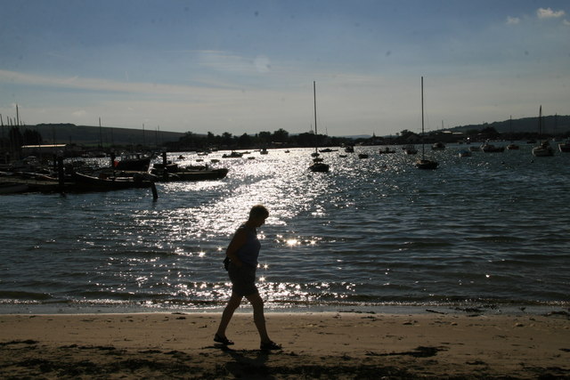
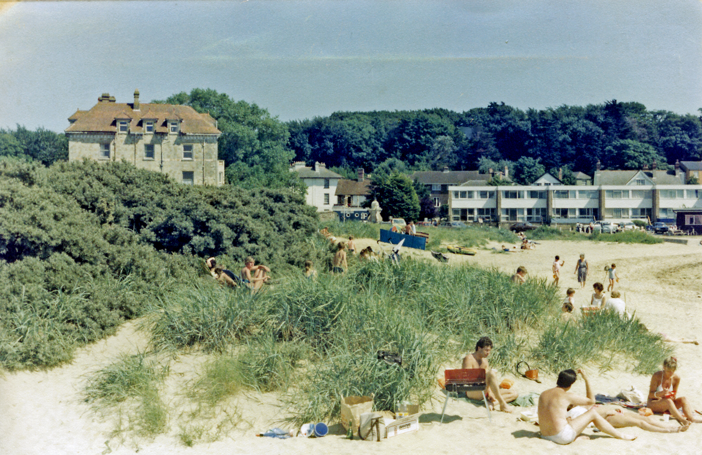
Colonel's Hard is a picturesque beach located in Hampshire, England. Situated on the southern coast, this sandy stretch is a popular destination for both locals and tourists alike. The beach is named after a former British Army colonel who lived in the area during the early 19th century.

Covering an area of approximately 1 kilometer, Colonel's Hard offers breathtaking views of the English Channel. The beach is easily accessible, with ample parking facilities nearby and a regular bus service that stops within walking distance. The area is also well-connected by road and rail, making it an ideal spot for day trips or weekend getaways.

The beach boasts fine golden sand, making it perfect for sunbathing and building sandcastles. The clear, calm waters are safe for swimming and paddling, attracting families with young children. There are lifeguards on duty during peak seasons to ensure the safety of visitors.

Colonel's Hard offers a range of amenities to enhance visitors' beach experience. There are clean public toilets, as well as several cafes and kiosks that serve snacks, ice cream, and refreshing drinks. Additionally, there are picnic tables and benches scattered along the promenade, providing a comfortable spot for picnics or enjoying the view.

Nature enthusiasts will appreciate the beach's proximity to a nature reserve, which is home to a diverse range of flora and fauna. The surrounding cliffs and dunes offer excellent opportunities for hiking and birdwatching.

Overall, Colonel's Hard is a charming beach destination that offers something for everyone. Its natural beauty, convenient facilities, and nearby attractions make it a must-visit location for beach lovers and outdoor enthusiasts.

If you have any feedback on the listing, please let us know in the comments section below.

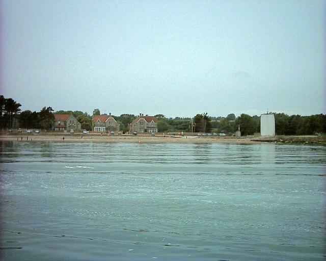
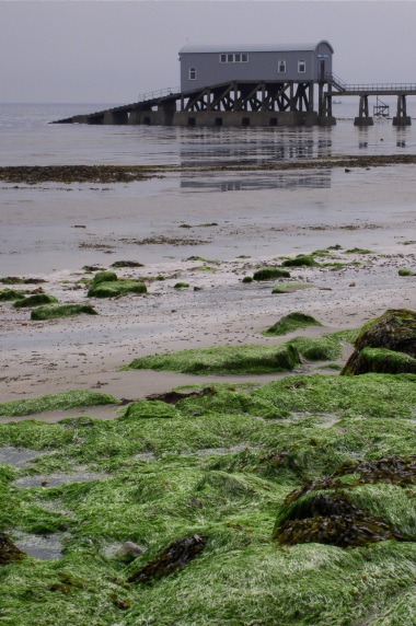
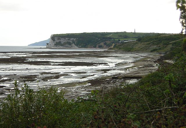
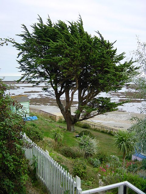
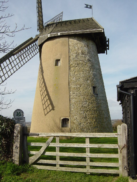
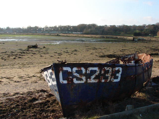
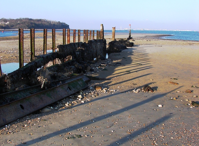
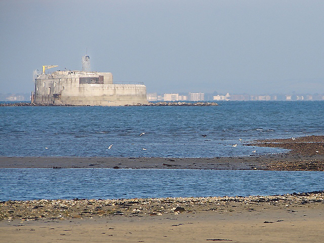
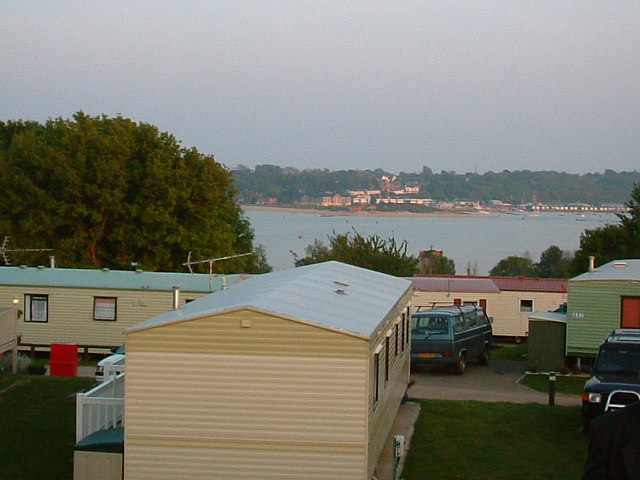
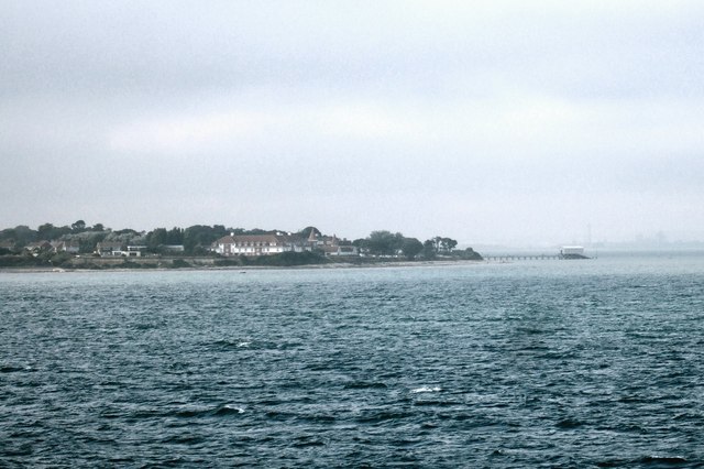
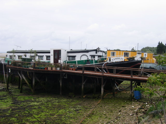
Colonel's Hard Images

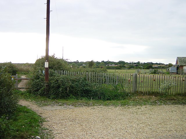
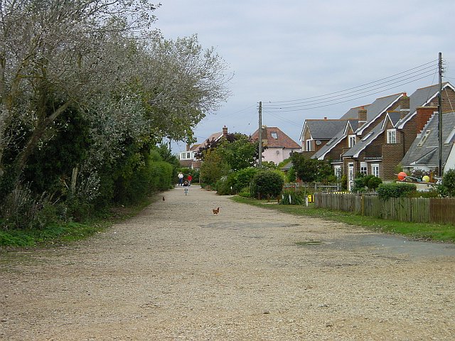
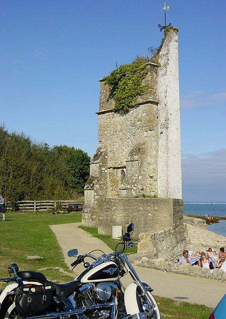
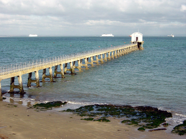
Images are sourced within 2km of 50.693726/-1.0804214 or Grid Reference SZ6588. Thanks to Geograph Open Source API. All images are credited.

St Helens Seafront The remains of St Helens church is painted white to act as a prominent marker for navigation from seaward
St Helens Seafront
The remains of St Helens church is painted white to act as a prominent marker for navigation from seaward
Bembridge Lifeboat Launch Station
Foreland Beach The weed covered rock pools visible at low tide are in the subject square, the nearer ones marked on the map as Black Rock Ledge while the further line is Long Ledge. Beyond them, across Whitecliff Bay is Culver Down with its monument <a href="https://www.geograph.org.uk/photo/13226">SZ6385 : Culver Down Monument</a>.
Foreland Beach
The weed covered rock pools visible at low tide are in the subject square, the nearer ones marked on the map as Black Rock Ledge while the further line is Long Ledge. Beyond them, across Whitecliff Bay is Culver Down with its monument SZ6385 : Culver Down Monument.
Beach Hut Garden Some of the beach huts between the coastal path and the foreshore have very elaborate gardens. Looking SE from the coastal path near the Crab & Lobster pub.
Beach Hut Garden
Some of the beach huts between the coastal path and the foreshore have very elaborate gardens. Looking SE from the coastal path near the Crab & Lobster pub.
Chicken Farm at Foreland Fields The Coastal Path heading SW for Sandown from Bembridge skirts a poultry farm at this point.
Chicken Farm at Foreland Fields
The Coastal Path heading SW for Sandown from Bembridge skirts a poultry farm at this point.
Forelands Field Road A couple of stray hens from the poultry farm <a href="https://www.geograph.org.uk/photo/61589">SZ6587 : Chicken Farm at Foreland Fields</a> wander around on this unadopted road which runs down to the coastal path.
Forelands Field Road
A couple of stray hens from the poultry farm SZ6587 : Chicken Farm at Foreland Fields wander around on this unadopted road which runs down to the coastal path.
St Helen's Church Built in the 12th century by the monks of the Cluniac Priory, the church was destroyed in 1720 by "a great wave" and only the tower remains. The seaward side is painted white as a marker for shipping - see <a href="https://www.geograph.org.uk/photo/20630">SZ6389 : St Helens Seafront</a>
St Helen's Church
Built in the 12th century by the monks of the Cluniac Priory, the church was destroyed in 1720 by "a great wave" and only the tower remains. The seaward side is painted white as a marker for shipping - see SZ6389 : St Helens Seafront
Another view of the Lifeboat station, Bembridge
Bembridge Windmill This restored windmill stands at an altitude of 35m above the low lying marshlands of the River Yar to its west.(National Trust site)
Bembridge Windmill
This restored windmill stands at an altitude of 35m above the low lying marshlands of the River Yar to its west.(National Trust site)
Tidal estuary, St Helens, Bembridge This shows part of the passage from Bembridge harbour to the sea. The photograph is an up river view of the foreshore, looking south south east, and taken from the north shore of "The Duver".
Tidal estuary, St Helens, Bembridge
This shows part of the passage from Bembridge harbour to the sea. The photograph is an up river view of the foreshore, looking south south east, and taken from the north shore of "The Duver".
Bembridge Harbour Causeway The Causeway (at low tide) with the mill pond beyond for the old tidal mill.
Bembridge Harbour Causeway
The Causeway (at low tide) with the mill pond beyond for the old tidal mill.
Breakwater at Bembridge Point The eastern side to the entrance to Bembridge Harbour which is on the left. Portsmouth on the horizon with the Spinnaker Tower visible between the last two posts.
Breakwater at Bembridge Point
The eastern side to the entrance to Bembridge Harbour which is on the left. Portsmouth on the horizon with the Spinnaker Tower visible between the last two posts.
St Helen's Fort The fort is accessible on foot by a causeway on only one or two extra low tides a year - an annual walk out and around the fort is arranged each summer. It was recently advertised for sale and a condition of occupation is that you do not call on the fire service or expect to have your rubbish collected!  More info here: <span class="nowrap"><a title="http://www.bembridge.com/article.asp?ID1=9&ID2=21&ID3=261" rel="nofollow ugc noopener" href="http://www.bembridge.com/article.asp?ID1=9&ID2=21&ID3=261">Link</a><img style="margin-left:2px;" alt="External link" title="External link - shift click to open in new window" src="https://s1.geograph.org.uk/img/external.png" width="10" height="10"/></span>
St Helen's Fort
The fort is accessible on foot by a causeway on only one or two extra low tides a year - an annual walk out and around the fort is arranged each summer. It was recently advertised for sale and a condition of occupation is that you do not call on the fire service or expect to have your rubbish collected! More info here: LinkExternal link
Nodes Point holiday camp Looking south to Bembridge Point
Nodes Point holiday camp
Looking south to Bembridge Point
Coast near Ryde Foreland and Bembridge Lifeboat seen from the sea.  You can just make out a faint tower on the horizon, which marks the <a href="https://www.geograph.org.uk/photo/222931">SZ6299 : Spinnaker Tower</a> and the Portsmouth shoreline.
Coast near Ryde
Foreland and Bembridge Lifeboat seen from the sea. You can just make out a faint tower on the horizon, which marks the SZ6299 : Spinnaker Tower and the Portsmouth shoreline.
The view from within Taken from inside Bembridge Windmill
The view from within
Taken from inside Bembridge Windmill
Bembridge Harbour The 1940s map lists this as Brading Harbour.
Bembridge Harbour
The 1940s map lists this as Brading Harbour.
Houseboats at Bembridge Harbour
Show me another place!

Colonel's Hard is located at Grid Ref: SZ6588 (Lat: 50.693726, Lng: -1.0804214)

Unitary Authority: Isle of Wight

Police Authority: Hampshire

What 3 Words

///files.widely.solo. Near Bembridge, Isle of Wight

Related Wikis

Bembridge railway station

Bembridge was the terminus of the 2+3⁄4-mile (4+1⁄2 km) branch line that connected it to the main line at Brading. On holiday Saturdays the sector table...

Bembridge

Bembridge is a village and civil parish located on the easternmost point of the Isle of Wight. It had a population of 3,848 according to the 2001 census...

Bembridge Lifeboat Station

Bembridge Lifeboat Station is an RNLI station located in the village of Bembridge on the Isle of Wight in the United Kingdom. == Location == The station...

Holy Trinity Church, Bembridge

Holy Trinity Church is a parish church in the Church of England located in Bembridge, Isle of Wight. == Setting == The church is set in a leafy one-way...

Nearby Amenities

Located within 500m of 50.693726,-1.0804214
Source: PGS
Lat/Long: 50.6944103/-1.0828552
Source: PGS
Lat/Long: 50.6940223/-1.0816131
Source: PGS
Lat/Long: 50.6934608/-1.0805563
Source: PGS
Lat/Long: 50.6931294/-1.0798941
Source: PGS
Lat/Long: 50.6930432/-1.0796491
Source: PGS
Lat/Long: 50.6923935/-1.0784855
Source: PGS
Lat/Long: 50.6921586/-1.0777384
Source: PGS
Lat/Long: 50.6919541/-1.0773206
Source: PGS
Lat/Long: 50.6913317/-1.076242
Source: PGS
Lat/Long: 50.690921/-1.075454
Source: PGS
Lat/Long: 50.690913/-1.0753693
Source: Bing
Lat/Long: 50.690606/-1.0753466
Turning Circle
Lat/Long: 50.6897077/-1.0835889
Post Box
Check Date Collection Times: 2021-04-13
Collection Times: Mo-Fr 09:00; Sa 07:00; Su off
Operator: Royal Mail
Operator Wikidata: Q638098
Ref: PO35 77
Ref GB Uprn: 10015386377
Royal Cypher: EIIR
Royal Cypher Wikidata: Q33102113
Website: https://www.royalmail.com/services-near-you/postbox/swains-po35-5aa/0000PO3577
Lat/Long: 50.6903595/-1.0794883
Steps
Lat/Long: 50.6907906/-1.0756905
Steps
Lat/Long: 50.6909631/-1.0760282
Horse: yes
Information: guidepost
Tourism: information
Lat/Long: 50.6905195/-1.0797387
Hiking: yes
Information: guidepost
Tourism: information
Lat/Long: 50.6930308/-1.0864469
Tyne Ledge
Natural: reef
Lat/Long: 50.6933518/-1.0788918
Power: substation
Lat/Long: 50.6931903/-1.087055
Power: substation
Ref GB Uprn: 10024896487
Lat/Long: 50.6903978/-1.0795019
Power: substation
Ref GB Uprn: 10024886070
Lat/Long: 50.6927282/-1.084511
Power: substation
Ref GB Uprn: 10025278683
Lat/Long: 50.6910823/-1.0837449
Bench
Backrest: yes
Lat/Long: 50.6914783/-1.0772857
Generator Solar Modules: 16
Generator Source: solar
Location: roof
Power: generator
Lat/Long: 50.6913427/-1.0859979
The data included in this document is from www.openstreetmap.org. The data is made available under ODbL.

Have you been to Colonel's Hard?

Leave your review of Colonel's Hard below (or comments, questions and feedback).