Lane End
Settlement in Hampshire
England
Lane End
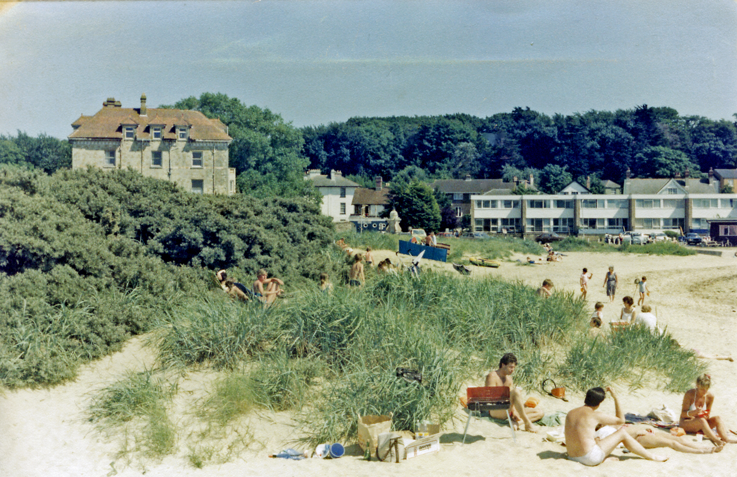
Lane End is a quaint village located in the county of Hampshire, England. Situated in the South East of the country, it is nestled within the picturesque landscape of the Hampshire Downs. Lane End offers a peaceful and idyllic setting, with its rolling hills, lush green fields, and charming cottages.
The village is home to a close-knit community, with a population of around 500 residents. It boasts a rich history dating back several centuries, evident in its historic buildings and landmarks. The St. Mary's Church, a stunning example of medieval architecture, stands proudly in the heart of the village. The church, with its intricate stained glass windows and elegant spire, serves as a focal point for both religious and community events.
Lane End is renowned for its natural beauty, making it a popular destination for outdoor enthusiasts. The surrounding countryside offers ample opportunities for hiking, cycling, and horseback riding. The nearby Hampshire Downs provide breathtaking views and a tranquil escape from the hustle and bustle of city life.
Despite its rural charm, Lane End offers convenient access to modern amenities. The village has a local shop, a post office, and a cozy pub where locals and visitors gather for a pint and a friendly chat. Additionally, the nearby town of Winchester is just a short drive away, providing residents with a wider range of services and entertainment options.
In summary, Lane End is a picturesque village with a rich history and a strong sense of community. Its stunning natural surroundings, combined with its convenient location, make it an ideal place to live for those seeking a peaceful yet connected lifestyle.
If you have any feedback on the listing, please let us know in the comments section below.
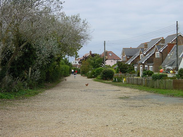
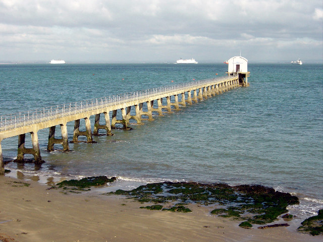
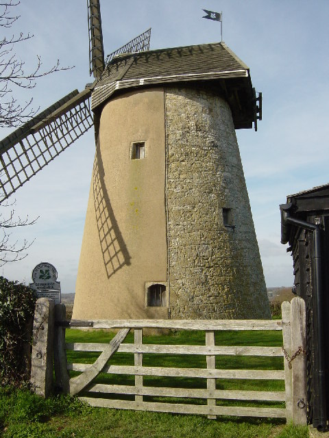
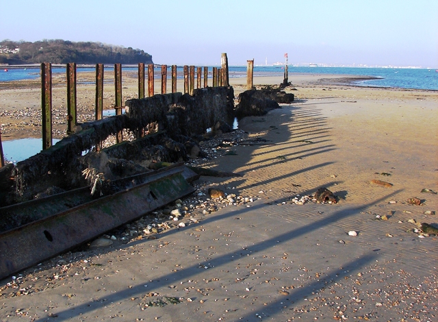
Lane End Images
Images are sourced within 2km of 50.687985/-1.072721 or Grid Reference SZ6588. Thanks to Geograph Open Source API. All images are credited.


Lane End is located at Grid Ref: SZ6588 (Lat: 50.687985, Lng: -1.072721)
Unitary Authority: Isle of Wight
Police Authority: Hampshire
What 3 Words
///library.alpha.rewarding. Near Bembridge, Isle of Wight
Nearby Locations
Related Wikis

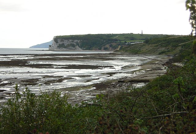
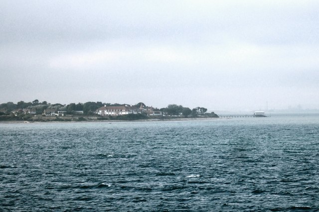
Foreland, Isle of Wight
Foreland or Forelands, and the adjacent Foreland Fields (50°40′57″N 1°04′36″W), is the easternmost point of the Isle of Wight, part of the village of Bembridge...

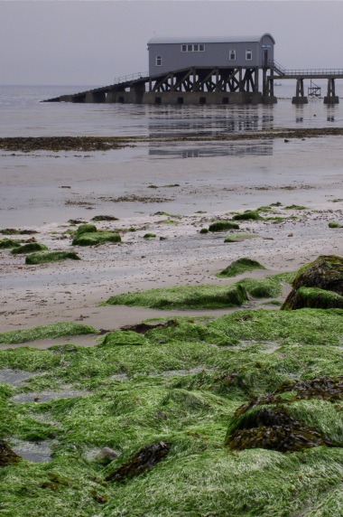
Bembridge Lifeboat Station
Bembridge Lifeboat Station is an RNLI station located in the village of Bembridge on the Isle of Wight in the United Kingdom. == Location == The station...

Bembridge School
Bembridge School was a British independent school in Bembridge on the Isle of Wight, founded in 1919 by social reformer and Liberal MP John Howard Whitehouse...
Bembridge
Bembridge is a village and civil parish located on the easternmost point of the Isle of Wight. It had a population of 3,848 according to the 2001 census...

Holy Trinity Church, Bembridge
Holy Trinity Church is a parish church in the Church of England located in Bembridge, Isle of Wight. == Setting == The church is set in a leafy one-way...
Bembridge railway station
Bembridge was the terminus of the 2+3⁄4-mile (4+1⁄2 km) branch line that connected it to the main line at Brading. On holiday Saturdays the sector table...

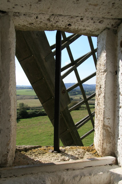
Bembridge Windmill
Knowle Mill, better known today as Bembridge Windmill, is a Grade I listed, preserved tower mill at Bembridge, Isle of Wight, England. == History == Bembridge...

Steynewood Battery
Steynewood Battery (map reference SZ641869) is a battery located between Bembridge and Whitecliff Bay on the Isle of Wight, England. It is one of the many...
Nearby Amenities
Located within 500m of 50.687985,-1.072721Have you been to Lane End?
Leave your review of Lane End below (or comments, questions and feedback).